
Dar Es Salaam stock illustrations
Browse 400+ dar es salaam stock illustrations and vector graphics available royalty-free, or search for dar es salaam city or dar es salaam skyline to find more great stock images and vector art.

Outline Dar Es Salaam Tanzania City Skyline with White Buildings. Vector Illustration. Business Travel and Tourism Concept with Modern Architecture. Dar Es Salaam Cityscape with Landmarks.

Dar Es Salaam Tanzania Skyline with Color Buildings and Reflections Isolated on White Background. Vector Illustration. Business Travel and Tourism Concept with Modern Architecture.

Outline Skyline panorama of city of Dar Es Salaam, Tanzania - vector illustration


Outline Dar Es Salaam Tanzania Skyline with Blue Buildings. Vector Illustration. Business Travel and Tourism Concept with Modern Architecture.

Dar Es Salaam Tanzania City Skyline with Color Buildings, Blue Sky and Reflections. Vector Illustration. Business Travel and Tourism Concept with Modern Architecture.


Dar Es Salaam Tanzania City Skyline with Color Buildings, Blue Sky and Copy Space. Vector Illustration. Business Travel and Tourism Concept with Modern Architecture.

Dar Es Salaam Tanzania City Skyline with Color Buildings, Blue Sky and Copy Space. Vector Illustration. Business Travel and Tourism Concept with Modern Architecture.

Black and white Tanzania map in trendy vintage style, isolated on a dusty white background. A grunge texture is used to have a retro and worn effect. His name is written on the bottom of the image. Vector Illustration (EPS10, well layered and grouped). Easy to edit, manipulate, resize or colorize.

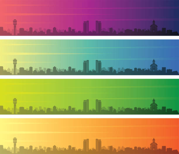
Red neon skyline of Dar es Salaam. Bright Dar es Salaam City long banner. Vector illustration.

Map of Tanzania - Vector illustration

Silhouette Skyline panorama of city of Dar Es Salaam, Tanzania - vector illustration
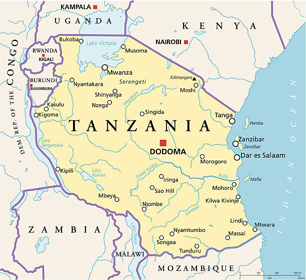
Political map of Tanzania with capital Dodoma, national borders, most important cities, rivers and lakes. Vector illustration with English labeling and scaling.
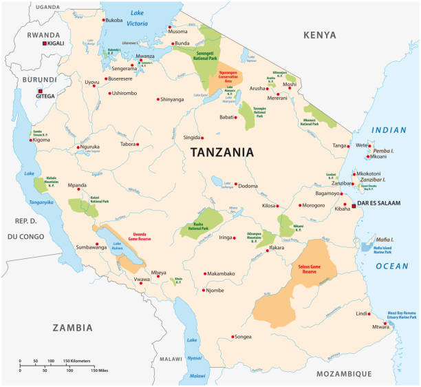
Highly detailed vector map of Tanzania with states, capitals and big cities.


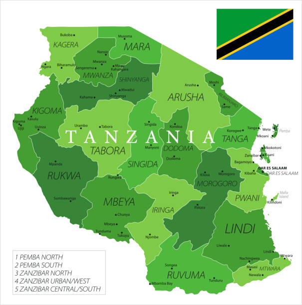
Tanzania higt detailed map with subdivisions. Administrative map of Tanzania with districts and cities name, colored by states and administrative districts. Vector illustration with editable and labelled layers.
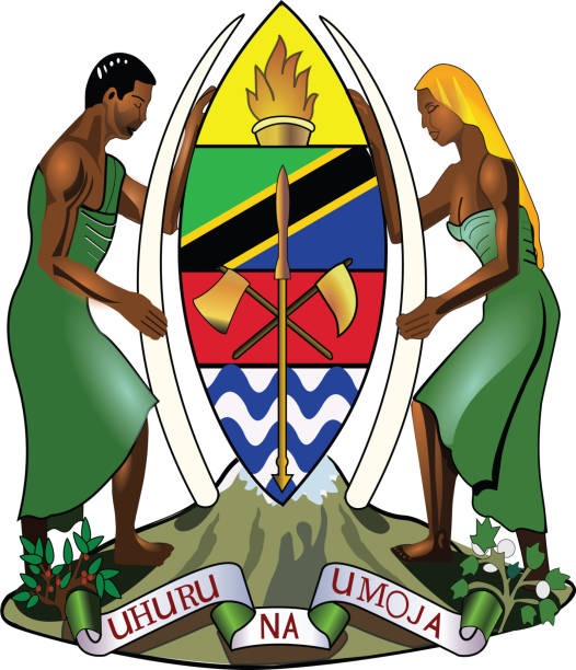
Official current vector coat of arms of the United Republic of Tanzania

vector illustration of Tanzania map and flag


Cartoon Skyline panorama of city of Dar Es Salaam, Tanzania - vector illustration

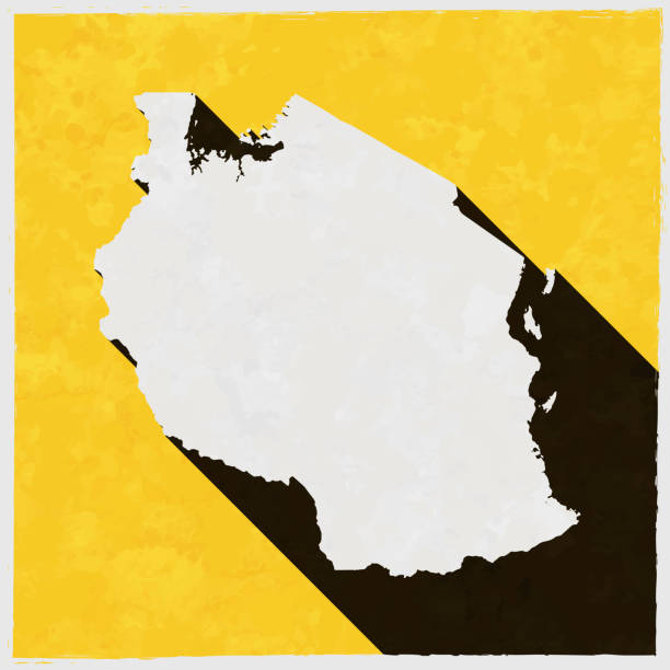
Map of Tanzania in a trendy vintage style. Beautiful retro illustration with old textured yellow paper and a black long shadow (colors used: yellow, white and black). Vector Illustration (EPS10, well layered and grouped). Easy to edit, manipulate, resize or colorize. Vector and Jpeg file of different sizes.

Simple flat flag map of the United Republic of Tanzania
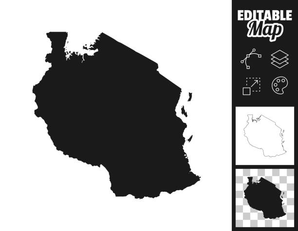
Map of Tanzania for your own design. Three maps with editable stroke included in the bundle: - One black map on a white background. - One line map with only a thin black outline in a line art style (you can adjust the stroke weight as you want). - One map on a blank transparent background (for change background or texture). The layers are named to facilitate your customization. Vector Illustration (EPS file, well layered and grouped). Easy to edit, manipulate, resize or colorize. Vector and Jpeg file of different sizes.

Tanzania flag in grunge brush stroke, vector image

Tanzania infographic map and flag - vector illustration

Map of Tanzania - Infographic Vector illustration
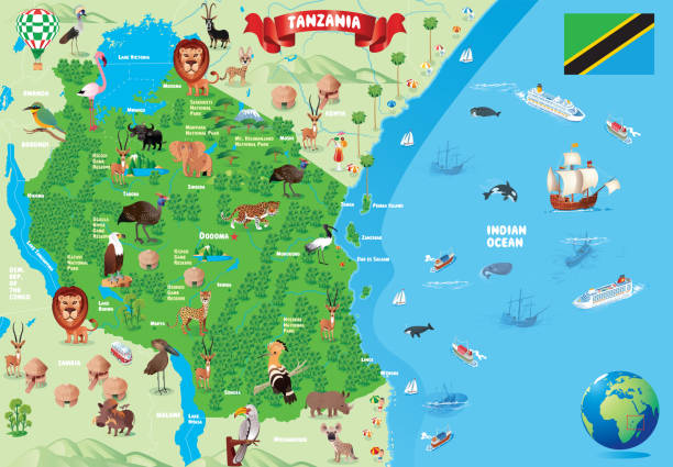
Vector anzania Cartoon Map https://maps.lib.utexas.edu/maps/africa/tanzania_pol_2003.jpg https://maps.lib.utexas.edu/maps/world_maps/world_physical_2015.pdf

Outline Skyline panorama of city of Dar Es Salaam, Tanzania - vector illustration


Highly detailed vector map of Tanzania with states, capitals and big cities.


Illustration from 19th century.

Map of Tanzania cut out on a blank white paper with a blue background. Modern and trendy paper cutout effect. Vector Illustration (EPS file, well layered and grouped). Easy to edit, manipulate, resize or colorize. Vector and Jpeg file of different sizes.

Africa map background with states. Africa map

African Great Lakes region, gray political map. Large rift lakes of Africa, and their riparian countries with capitals and borders. Lake Victoria, Lake Tanganyika, Lake Malawi and smaller lakes.

Dar Es Salaam Tanzania Skyline Black and White Silhouette with Reflections. Vector Illustration. Simple Flat Concept for Tourism Presentation, Placard or Web Site. Business Travel Concept. Cityscape with Landmarks.

Map of Tanzania in a trendy vintage style. Beautiful retro illustration with old textured paper and a black long shadow (colors used: blue, green, beige and black). Vector Illustration (EPS10, well layered and grouped). Easy to edit, manipulate, resize or colorize.

Map of Tanzania on a golden background with an embossing effect. Realistic circular brushed metal similar to a gold medal or coin. Vector Illustration (EPS10, well layered and grouped). Easy to edit, manipulate, resize or colorize. Vector and Jpeg file of different sizes.
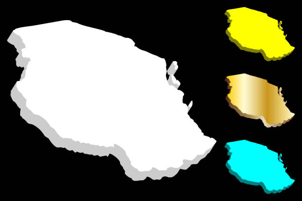
3D map of Tanzania (United Republic of Tanzania) - white, yellow, blue and gold - vector illustration

Black highlighted location map of the Tanzanian Rukwa region inside gray map of the United Republic of Tanzania

Map of Tanzania - Vintage Vector illustration
Icon flag of Tanzania . Round glossy flag. Vector illustration. EPS 10

White map of Tanzania isolated on a gray background with a long shadow effect and in a flat design style. Vector Illustration (EPS10, well layered and grouped). Easy to edit, manipulate, resize or colorize.

Tanzania Map - Vintage High Detailed Vector Illustration

vector illustration of Tanzania map with flag
Map of Tanzania - Vector illustration

Black highlighted location map of the Tanzanian Kilimanjaro region inside gray map of the United Republic of Tanzania


Map of Tanzania - Vintage Vector illustration

Vector map of Tanzania with infographic elements

Highly detailed physical map of Tanzania in vector format,with all the relief forms,regions and big cities.
Next