
District stock illustrations
Browse 520,600+ district stock illustrations and vector graphics available royalty-free, or search for lake district or financial district to find more great stock images and vector art.
lake district
financial district
peak district
business district
school district
downtown district
district heating
shopping district
finance district
district attorney
district nurse
meatpacking district
distillery district
district map
warehouse district
water district
district court
district energy
industrial district
art district
mission district
castro district
theater district
commercial district
diamond district
district icon
district manager
flatiron district
fashion district
park district
Most popular

Townhouses, Residential Buildings Vector Linear Icons Set. Townhouse, Cottage And Villa Outline Symbols Pack. Countryside And Suburbs Area Property, Real Estate Isolated Contour Illustration
Residential Area skyline background with copy space. Highly detailed homes -- big and small.
Real estate, icon set. Purchase and sale of housing, rental of premises, editable stroke

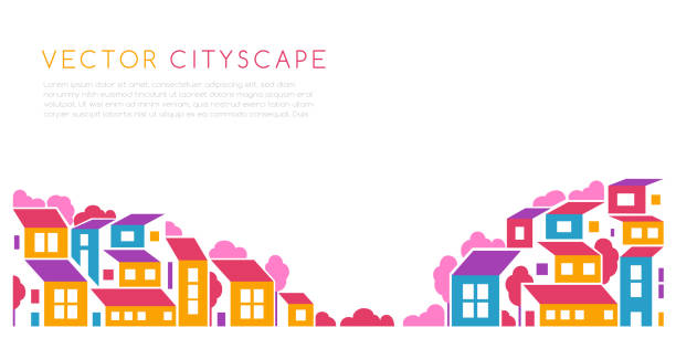
Town street with buildings. City landscape road and low-rise houses in various architecture styles. Metropolis outskirt sidewalk vector eps illustration
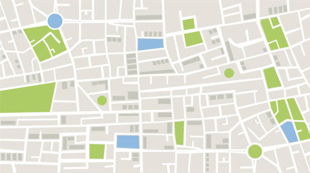
Vector illustration of top view of city details with technological map. In this map, the white color represents the roads in the city, the gray color represents the buildings and apartments, the green color represents the green areas such as parks and gardens, and the blue color represents the wet areas of the city. Location and navigation concepts.
Home line icons set. House, residential building, homepage, property mortgage minimal vector illustrations. Simple flat outline sign for web real estate app. 30x30 Pixel Perfect. Editable Strokes.

A busy town with playing kids and huge amount of houses in all sizes and shapes.
Vector illustration of building
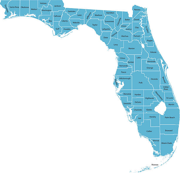
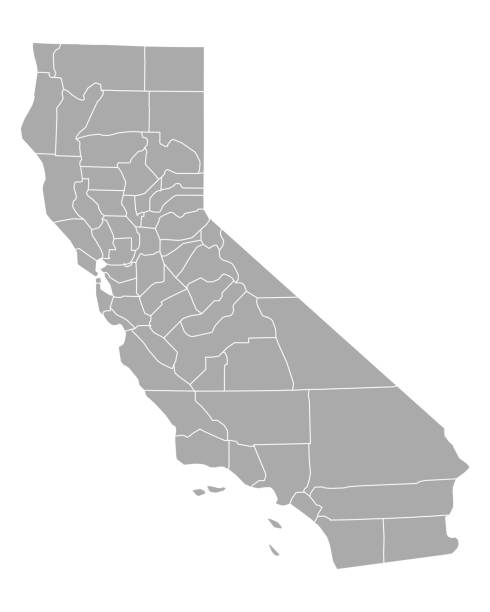
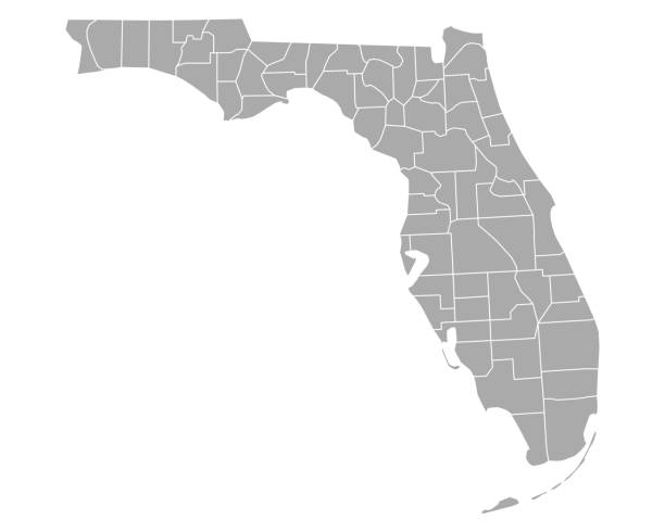
Highly detailed map of Florida , Each county is an individual object and can be colored separately.

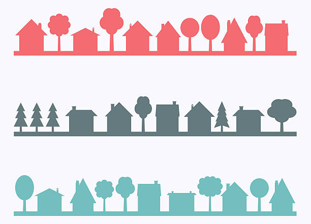
Neighborhood line art cityscape, town city street and houses, vector outline landscape. Linear houses and suburban village homes, residential, apartments and cottage buildings neighborhood cityscape

hand draw
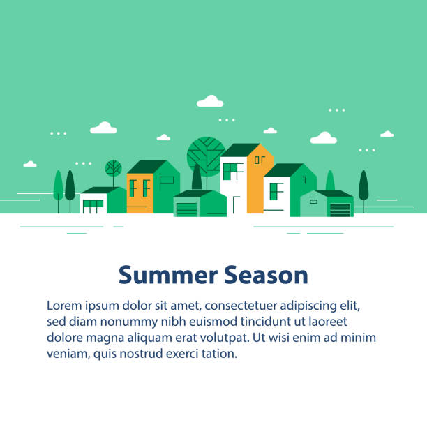
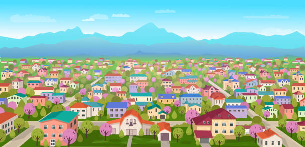
Summer season in small town, tiny village view, row of residential houses, beautiful green neighborhood, real estate development, vector flat design illustration
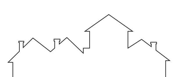
town, roofs and chimneys, black contour drawing, vector

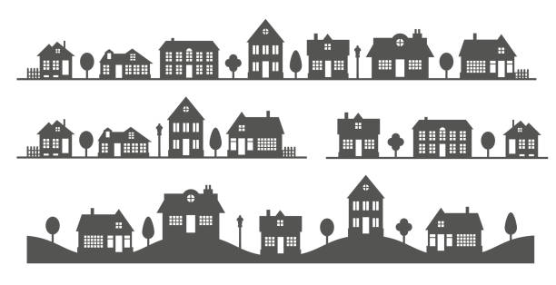
Small suburban neighborhood suburban houses.
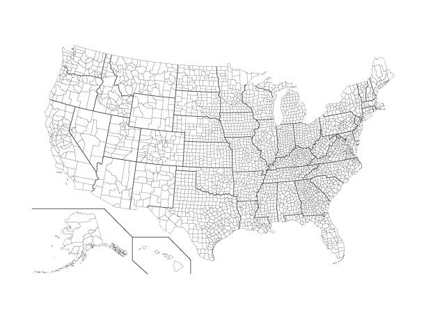
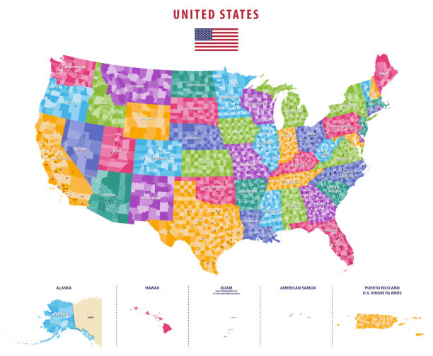
Vector illustration of the USA County Map

Silhouette of landscape of neighborhood. Black and white houses on the skyline. Countryside cottage homes. Glyph vector illustration
Simple Set of Measure Related Vector Line Icons. Contains such Icons as Radius, Diameter, Depth, Axis, Area and more. Editable Stroke. 48x48 Pixel Perfect.
Small town vector silhouettes with blank copy space. Village illustration.

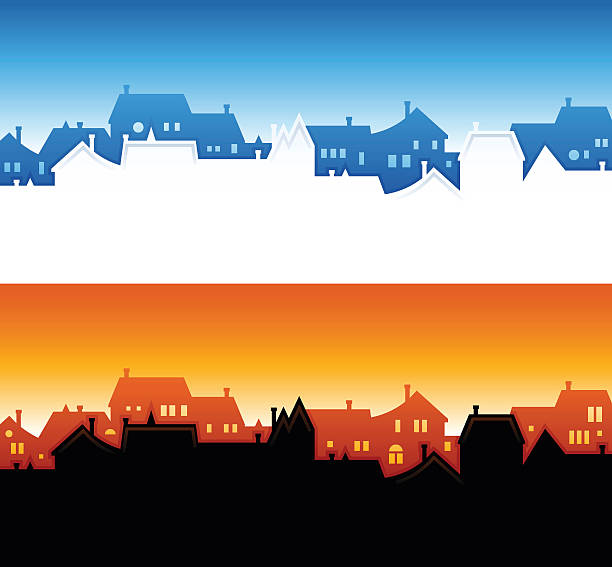
blue sky & town
Professional, pixel perfect icons, EPS 10 format.
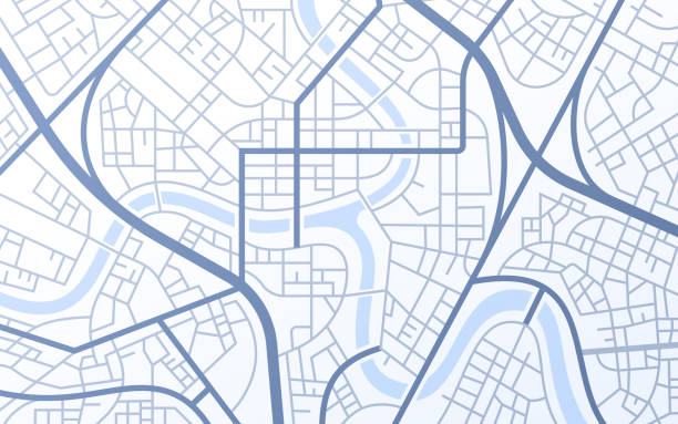
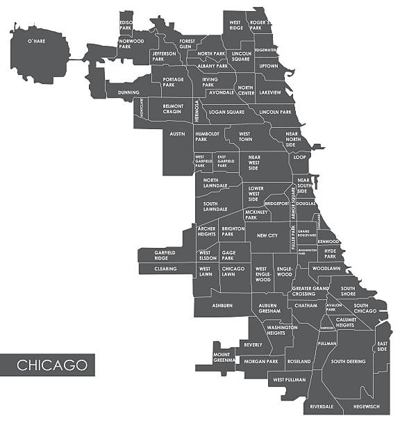
City urban roads and streets abstract map downtown district map.
Building, Architecture,
Houses flat line icons set. Home page button, residential building, country cottage, apartment vector illustrations. Outline simple signs for real estate. Pixel perfect 64x64. Editable Strokes.

Colourful overlapping silhouettes different house types for Property or Real Estate theme. accommodation, real estate, House sales, investment, mortgage, loan, development

Cityscape Home Vector City Hall Church Tree
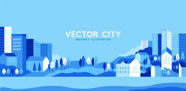
Vector illustration in simple minimal geometric flat style - city landscape with buildings, hills and trees - abstract horizontal banner and background with copy space for text - header images for websites, covers
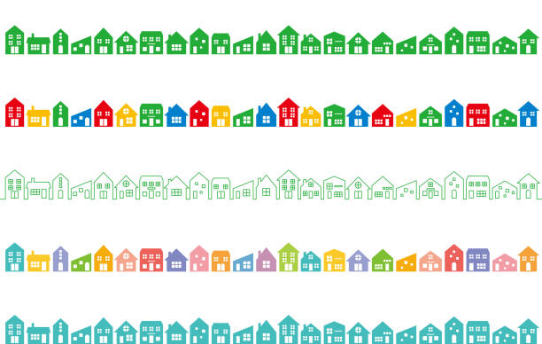
set of various colorful houses.
REAL ESTATE - thin line vector icon set. 20 linear icon. Pixel perfect. Editable outline stroke. The set contains icons: Apartment, Residential Building, Real Estate Developer, Real Estate Agent, Real Estate investment, Lease Agreement, Real Estate Searching.

Neighborhood community background illustration with space for copy. EPS 10 file. Transparency effects used on highlight elements.
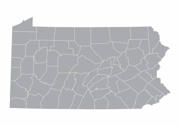
A gray Map of Pennsylvania and its counties
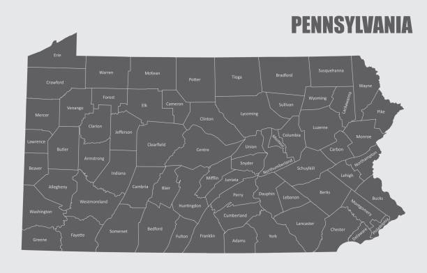
Map of the state of Pennsylvania and its counties
Generic Location, Map, City Map, Road Map, City
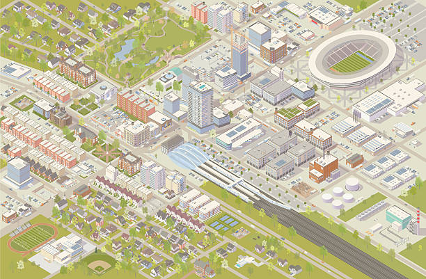
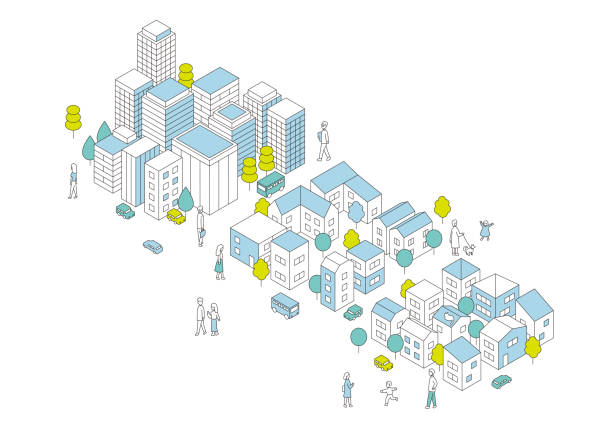
Isometric city vector illustration shows detailed suburbs, downtown, industrial area, and residential neighborhoods. Hundreds of buildings are illustrated in different styles, serving cultural, government, commercial, industrial, and residential needs. A railroad terminal leads into the city center, and a sports stadium has been built nearby. Trees, parks, cars and trucks complete this detailed cityscape, shown in aerial view.

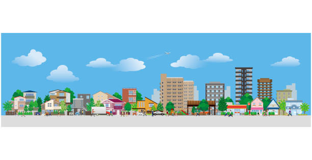
Urban and nature landscape. Modern city buildings, suburban houses and wild forest vector illustration. Contemporary metropolis with skyscrapers, suburbs with cottages and woods panorama

Lively and active city - map design


Doodle cottages. Cute tiny town houses, minimal suburban houses, residential town buildings vector icons. Exterior tiny village building, illustration of home cartoon architecture, urban residential
Vector illustration.
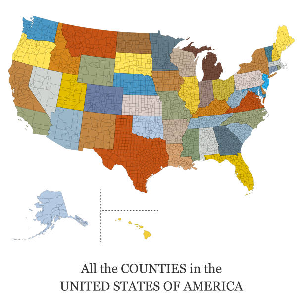
Vector illustration of a map of all the counties in the United States of America

Detailed isometric illustration of a residential neighborhood. All colors are global. File is logically grouped and layered.
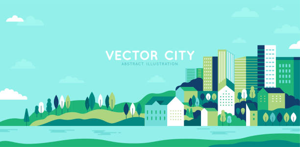
Vector illustration in simple minimal geometric flat style - city landscape with buildings, hills and trees - abstract horizontal banner and background with copy space for text - header images for websites, covers
Building, house,

Town life - modern thin line design style vector illustration on white background. Blue colored composition, landscape with facades of cottage houses, basketball hoop, trees, people walking, mountains
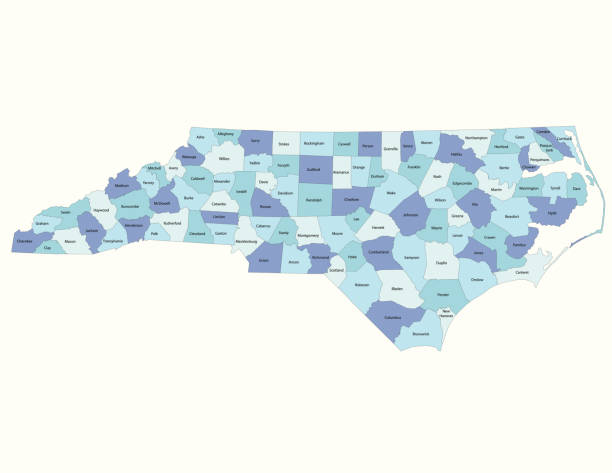
Detailed state-county map of North Carolina.

Little neighborhood houses background concept. EPS 10 file. Transparency effects used on highlight elements.
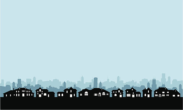
Neighborhood and community skyline backgrounds with copy space.

Colorful houses in suburb neighborhood. Green park landscape with grass, trees, flowers and clouds.

Next