
Fredericksburg Va stock illustrations
Browse 20+ fredericksburg va stock illustrations and vector graphics available royalty-free, or search for washington dc or rappahannock river to find more great stock images and vector art.
Most popular
Vintage engraving of a View of Fredericksburg, Virginia, 19th Century

Antique illustration

Antique illustration

Antique illustration

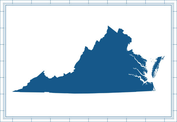
Downloadable map of Virginia state of United States of America. The map is accurately prepared by a map expert.
Downloadable outline vector map of Virginia state of United States of America. The map is accurately prepared by a map expert.
Outline vector map of Virginia state of USA. The map is accurately prepared by a map expert.

Printable map of Virginia state of United States of America. The map is accurately prepared by a map expert.

Confederate General Robert E. Lee’s troops defeats Union General Ambrose Burnside’s soldiers at the battle of Fredericksburg, Virginia, during December 11–15, 1862. Illustration published in The New Eclectic History of the United States by M. E. Thalheimer (American Book Company; New York, Cincinnati, and Chicago) in 1881 and 1890. Copyright expired; artwork is in Public Domain.

George Washington and His Mother by Louis Édouard Fournier (circa 19th century). Vintage etching circa late 19th century.
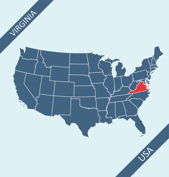
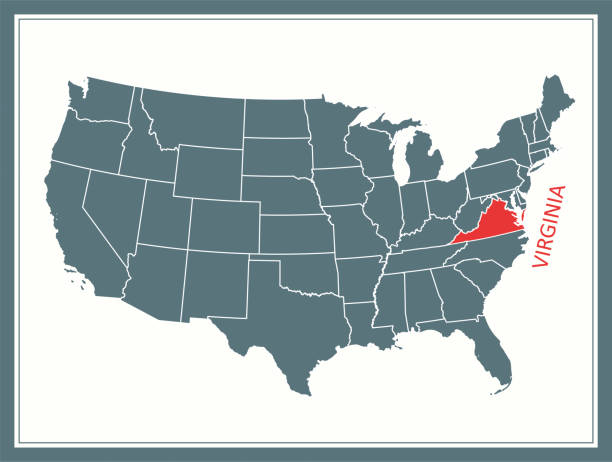
Highly detailed map of United States of America with highlighted state of Virginia for web banner, mobile app, and educational use. The map is accurately prepared by a map expert.

Topographic / Road map of Fredericksburg, Virginia. Map data is public domain via census.gov. All maps are layered and easy to edit. Roads are editable stroke.


Topographic / Road map of Fredericksburg, Virginia. Map data is public domain via census.gov. All maps are layered and easy to edit. Roads are editable stroke.

Topographic / Road map of Fredericksburg, Virginia. Map data is public domain via census.gov. All maps are layered and easy to edit. Roads are editable stroke.

Topographic / Road map of Fredericksburg, Virginia. Map data is public domain via census.gov. All maps are layered and easy to edit. Roads are editable stroke.

Topographic / Road map of Fredericksburg, Virginia. Map data is public domain via census.gov. All maps are layered and easy to edit. Roads are editable stroke.


Highly detailed map of United States of America with highlighted state of Virginia for web banner, mobile app, and educational use. The map is accurately prepared by a map expert.

Topographic / Road map of Fredericksburg, Virginia. Map data is public domain via census.gov. All maps are layered and easy to edit. Roads are editable stroke.

Topographic / Road map of Fredericksburg, Virginia. Map data is public domain via census.gov. All maps are layered and easy to edit. Roads are editable stroke.

Downloadable outline vector map of Virginia state of United States of America

Antique illustration

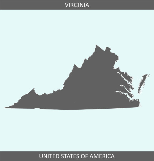
Highly detailed map of Virginia state of United States of America for web banner, mobile app, and educational use. The map is accurately prepared by a map expert.