
Jersey City stock illustrations
Browse 360+ jersey city stock illustrations and vector graphics available royalty-free, or search for jersey city new jersey or jersey city skyline to find more great stock images and vector art.
jersey city new jersey
jersey city skyline
newport jersey city
jersey city nj
new jersey city
journal square jersey city
jersey city aerial
jersey city grove st
city of jersey city
jersey city with woman
jersey city waterfront
jersey city nj skyline
jersey city house
new jersey city university
jersey city park
new jersey city view
jersey city shooting
jersey city night
lightrail jersey city
jersey city medical center
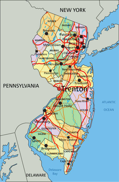
jersey city map
jersey city street
hudson river jersey city
exchange place jersey city
jersey city downtown
Most popular


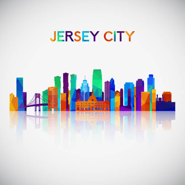
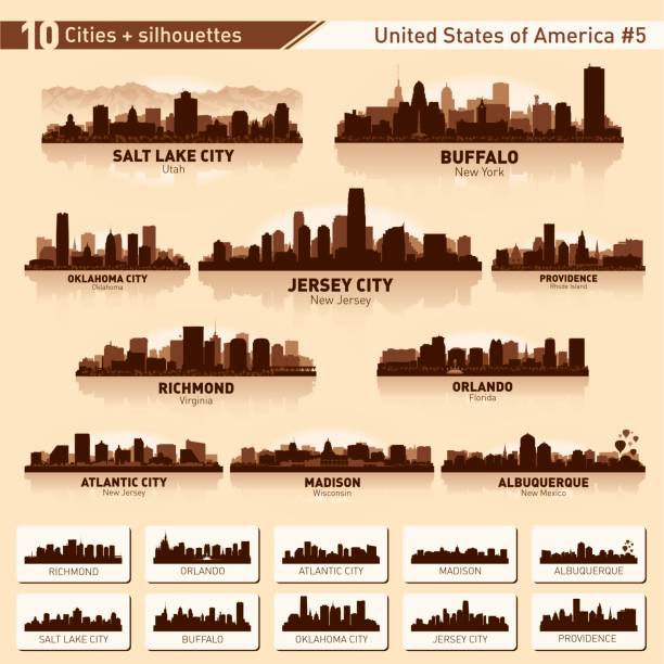
Jersey City New Jersey city skyline vector silhouette illustration

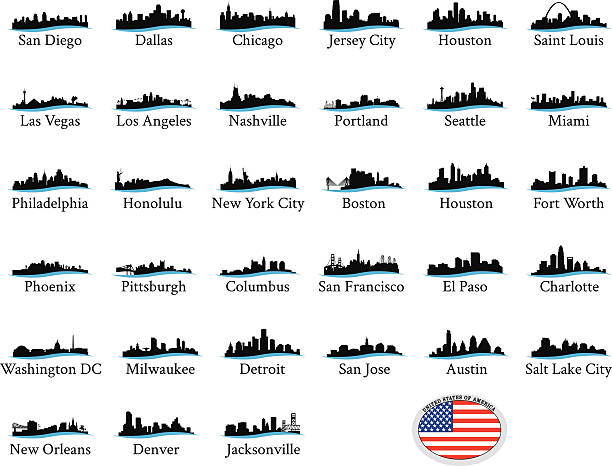
Thirty Three of United States biggest cities skylines.


Jersey City New Jersey city skyline vector silhouette illustration
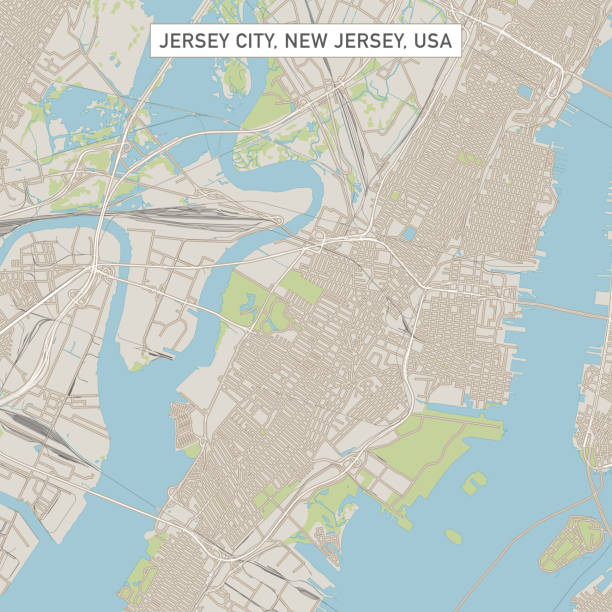
Vector Illustration of a City Street Map of Jersey City, New Jersey, USA. Scale 1:60,000. All source data is in the public domain. U.S. Geological Survey, US Topo Used Layers: USGS The National Map: National Hydrography Dataset (NHD) USGS The National Map: National Transportation Dataset (NTD)
Series of US Cityscape Graphics with a little wavy line.
City skyline set. USA. Vector silhouette background illustration.

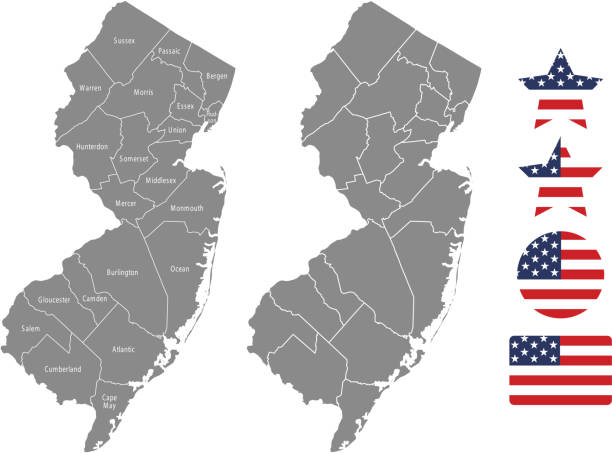
"Highly detailed vector map of New Jersey, United States. File was created on October 31, 2012. The colors in the .eps-file are ready for print (CMYK). Included files: EPS (v8) and Hi-Res JPG (5600aa aaa 5600 px)."

NJ Hudson County Vector Map Green. All source data is in the public domain. U.S. Census Bureau Census Tiger. Used Layers: areawater, linearwater, cousub, pointlm.

Series of stylized overlay cityscapes of large American cities
The maps are accurately prepared by a GIS and remote sensing expert.

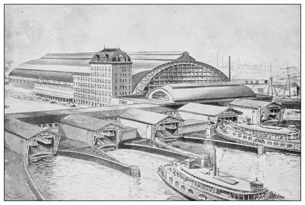
Historical city map of New York City, USA. Lithograph, published in 1897.

Vector New Jersey State Postage

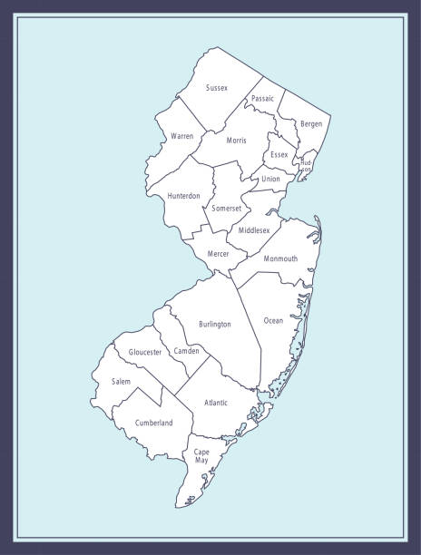
Downloadable county map of New Jersey state of United States of America. The map is accurately prepared by a map expert.

Indian Rupee and Dollar exchange on International financial market
Highly detailed downloadable map of New Jersey counties state of United States of America for web banner, mobile, smartphone, iPhone, iPad applications and educational use. The map is accurately prepared by a map expert.

Jersey City New Jersey city skyline vector silhouette illustration

Illustrations and background images with foreign currency. in the concept of money transfer. Currency exchange. Global business. Financial technology. Online interbank payments.

Black and White Modern Clean Street Map of Jersey City, New Jersey

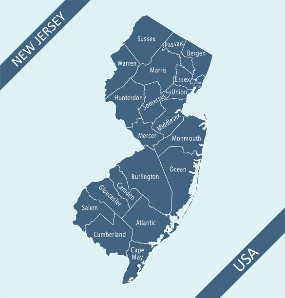
Detailed vector map of New Jersey with administrative divisions. File was created on January 10, 2013. The colors in the .eps-file are ready for print (CMYK). Included files: EPS (v8) and Hi-Res JPG (3533 × 5600 px).

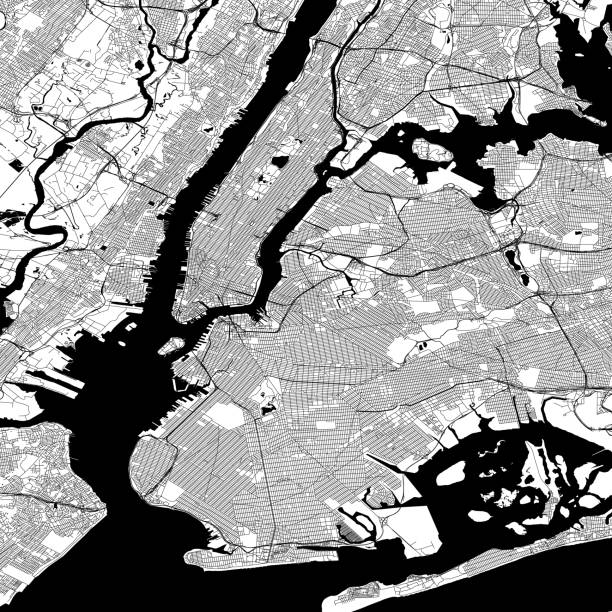
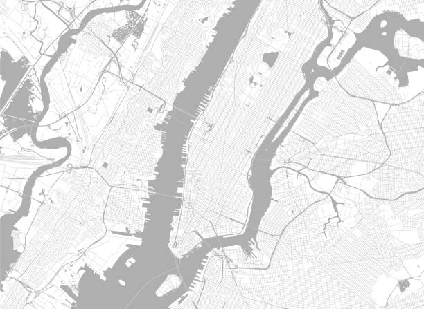
Topographical/Road map of New York City. Original map data is public domain sourced from www.census.gov/
Global Finance Icons Multi Series Vector EPS File.


Vector New Jersey State Capitol

Newark NJ City Vector Road Map Blue Text. All source data is in the public domain. U.S. Census Bureau Census Tiger. Used Layers: areawater, linearwater, roads.

Series of various different US Cityscapes in a graphic look


Topographic / Road map of New York City - Poster Style. Original map data is public domain sourced from www.census.gov/

Vector New Jersey State Capitol

Series of stylized US Cityscapes with different color overlays

Jersey City New Jersey city skyline vector silhouette illustration

Jersey City New Jersey city skyline vector silhouette illustration

Vector Central Railroad New Jersey

Vector Cape May Lighthouse


Vector New Jersey Symbols

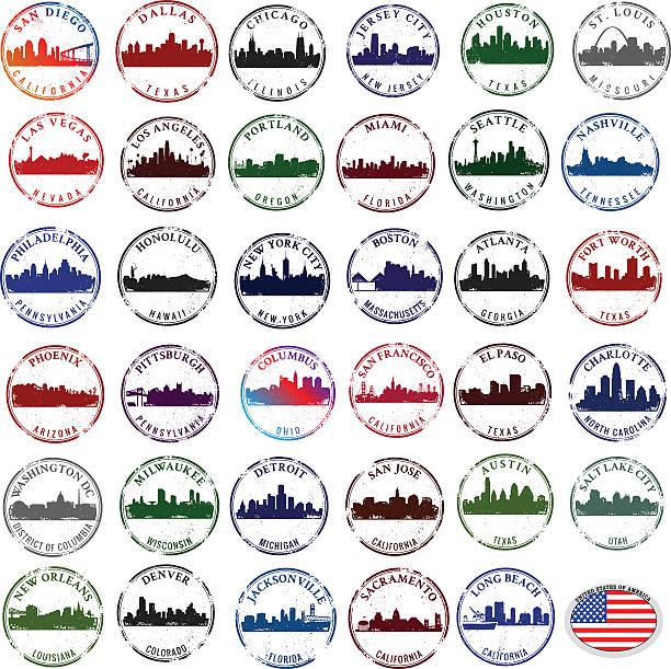
Rubber stamp graphics of major American CIties

Vector New Jersey Postage
Global Business Agreement Icons Multi Series Vector EPS File.
Currency Exchange Icons Multi Series Vector EPS File.

Topographic / Road map of Jersey City, NJ. Map data is public domain via census.gov. All maps are layered and easy to edit. Roads are editable stroke.

Topographical/Road map of New York City. Original map data is public domain sourced from www.census.gov/


Accurate outline vector map in gray background prepared by a map expert.

Topographical/Road map of New York City. Original map data is public domain sourced from www.census.gov/

Union City NJ City Vector Road Map Blue Text. All source data is in the public domain. U.S. Census Bureau Census Tiger. Used Layers: areawater, linearwater, roads.


Bayonne NJ City Vector Road Map Blue Text. All source data is in the public domain. U.S. Census Bureau Census Tiger. Used Layers: areawater, linearwater, roads.
Next