Labeled Globe Map stock illustrations
Browse 310+ labeled globe map stock illustrations and vector graphics available royalty-free, or start a new search to explore more great stock images and vector art.
Most popular
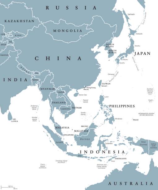
East Asia political map with countries and borders. Eastern subregion of the Asian continent with China, Japan, Mongolia and Indonesia. English labeling. Gray illustration on white background. Vector.
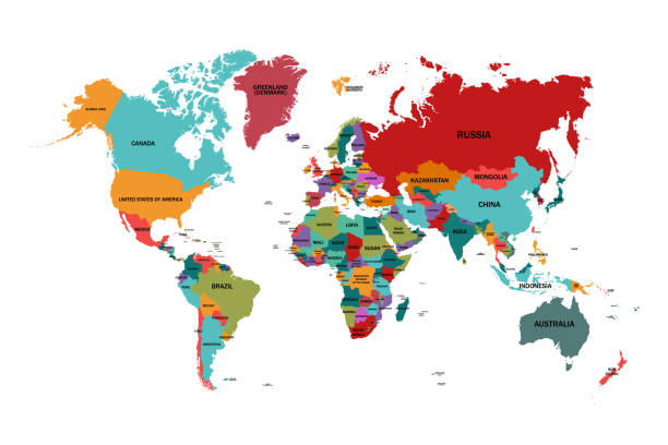
World map with country names.Vector illustration,

Vector political map of world. Black outline on white background with country name labels.

Political Map of Africa continent. English labeled countries names and Africa region borders vector illustration. Detailed template with colorful boundaries of separate land states
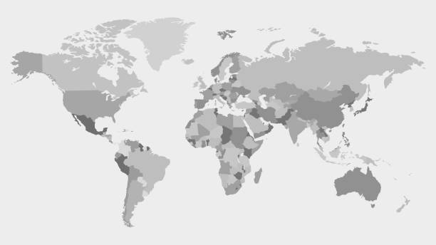
Highly detailed world map with labeling. Grayscale vector illustration.

Political map of World with country names and capital cities. Gray vector map.
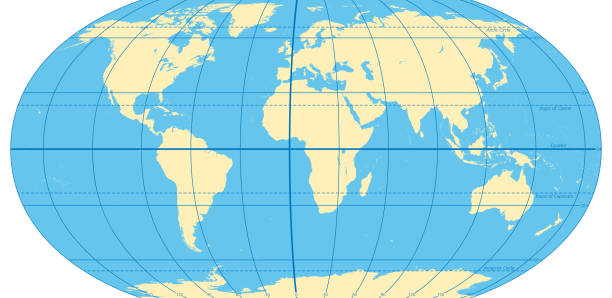
World map with most important circles of latitudes and longitudes, showing Equator, Greenwich meridian, Arctic and Antarctic Circle, Tropic of Cancer and Capricorn. English. Illustration. Vector.

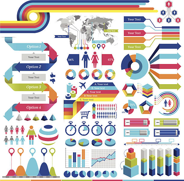
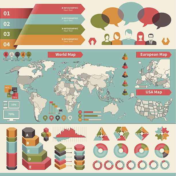
Vector infographics elements. Each element is grouped in a separate layers. Easy to edit.
travel icon set with suitcase and airplane
collection of earth planet globe

Six continents world, political map. America, Africa, Antarctica, Asia, Australia and Europe, with shorelines and borders. Robinson projection. English labeling. Isolated on white background. Vector.
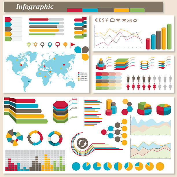
Vector infographic elements. EPS10 file.


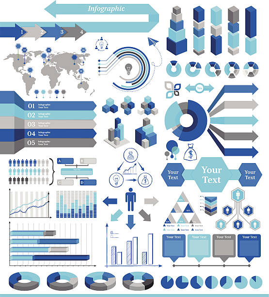
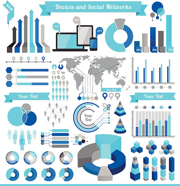
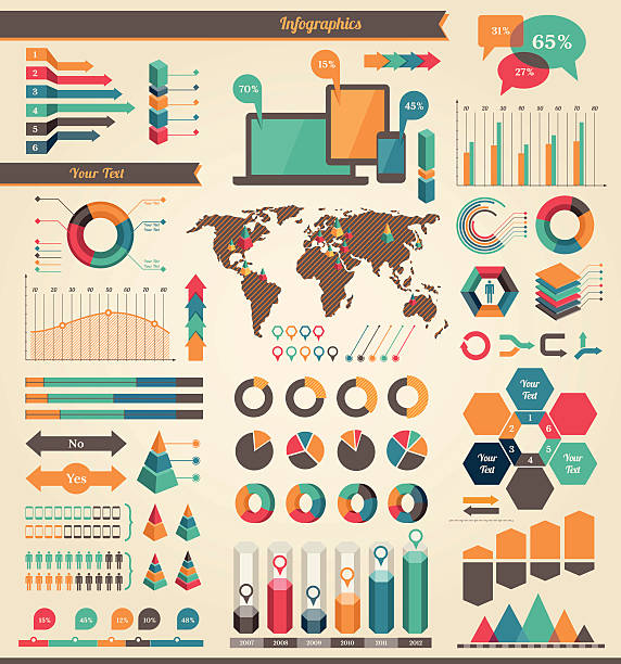
IT Industry Infographic Elements. Opportunity to Highlight any Country. Vector Illustration EPS 10.
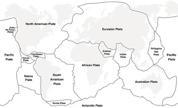
Tectonic plates with names - world map with fault lines of major an minor plates.

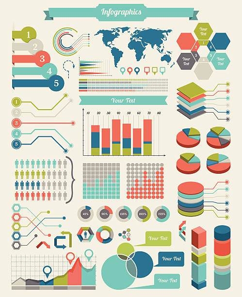
Infographic Elements. Opportunity to Highlight the Country or Part of the World. Vector Illustration EPS 10.
World map referenced from:

Folded travel map United States of America with airplanes and point markers.

World map referenced from:

World map referenced from:

World map referenced from:

World map referenced from:
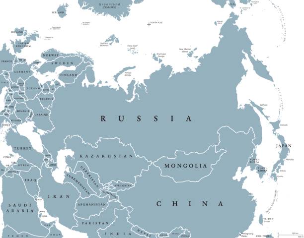
Eurasia political map with countries and borders. Combined continental landmass of Europe and Asia located in Northern and Eastern Hemispheres. Gray illustration over white. English labeling. Vector.
School subjects educational icons. Hand-drawn vector labels with preschool subjects. Perfect for timetables, websites, school apps, sticker design, etc
World map referenced from:

Infographics set and business icon
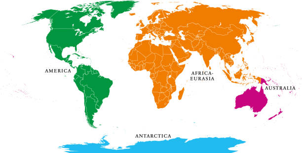
Four continents. World map with national borders. America, Africa-Eurasia, Australia and Antarctica. Political map under Robinson projection. English labeling. Isolated on white background. Vector.
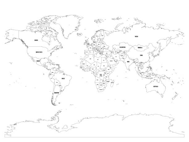
Vector political map of world. Black outline on white background with country name labels.

Infographic Elements With Icon Set. Vector Illustration EPS 10.

Political map of Africa. Blue colored land with country name labels on white background. Ortographic projection. Vector illustration

High resolution jpeg included. Vector files can be re-edit and used in any size Map source:https://www.cia.gov/library/publications/the-world-factbook/index.html Created by Adobe Illustrator CS4. Date: June 11, 2016 Layers of Data Used: Outlines

Geodata layers example with map info structure elements outline diagram. Topography information with street, buildings, vegetation and integrated data instruments vector illustration. Satellite view.

World map referenced from:

Plate tectonics- SPANISH TEXT! - planet earth with major an minor plates - vector illustration.

Four continents world map. America, Africa-Eurasia, Australia and Antarctica. Political map with shorelines and borders. Robinson projection. English labeling. Isolated on white background. Vector.

World map referenced from:

Reference file for map is: http://www.lib.utexas.edu/maps/world_maps/time_zones_ref_2008.pdf

Canada map vector illustration. World map set.

World Map Continental Divide. Full Color Vector Illustration.
World map referenced from:

Five continents world, political map. Africa, America, Antarctica, Australia and Eurasia, with shorelines and borders. Robinson projection. English labeling. Isolated on white background. Vector.

Cloud Service Infographic Elements. Opportunity to Highlight any Country. Vector Illustration EPS 10.

Set of elements for developing creative colorfull infographics. Charts are divided in 1, 5 and 10% pieces, therefore they are easily adaptable to your needs. Transparency was used to create the texture that is on a separate layer. EPS10 vector illustration, global colors, easy to modify.

World map referenced from:
travel icon image with airplane and earth

World map referenced from:

Political map of World. Simplified vector map in four shades of gray.

World map referenced from:
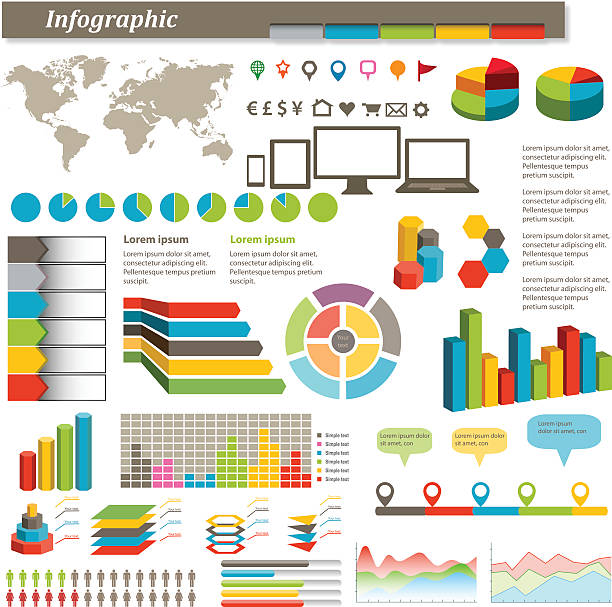
Vector infographic elements.

Big collection business, education, online training, marketing background concept. Vector illustration for colorful template for you design, web and mobile applications

IT Industry Infographic Elements. Opportunity to Highlight any Country. Vector Illustration EPS 10.

World Map Showing Tectonic Plates Boundaries illustration

World Map Showing Tectonic Plates Boundaries illustration

Reference file for map is: http://www.lib.utexas.edu/maps/world_maps/time_zones_ref_2008.pdf

IT Industry Infographic Elements. Opportunity to Highlight any Country. Vector Illustration EPS 10.
Reference file for map is: http://www.lib.utexas.edu/maps/world_maps/time_zones_ref_2008.pdf

The ocean current world map with names illustration
Next