Luxembourg Map stock illustrations
Browse 2,600+ luxembourg map stock illustrations and vector graphics available royalty-free, or search for netherlands map to find more great stock images and vector art.
Most popular
detailed vector map of Luxembourg
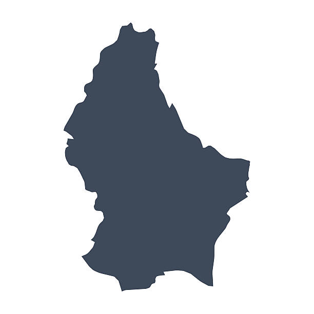
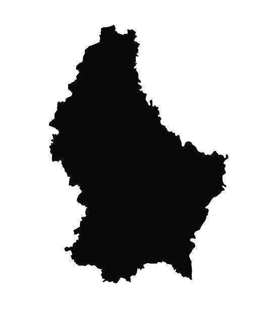
A graphic illustrated vector image showing the outline of the country Luxembourg. The outline of the country is filled with a dark navy blue colour and is on a plain white background. The border of the country is a detailed path.
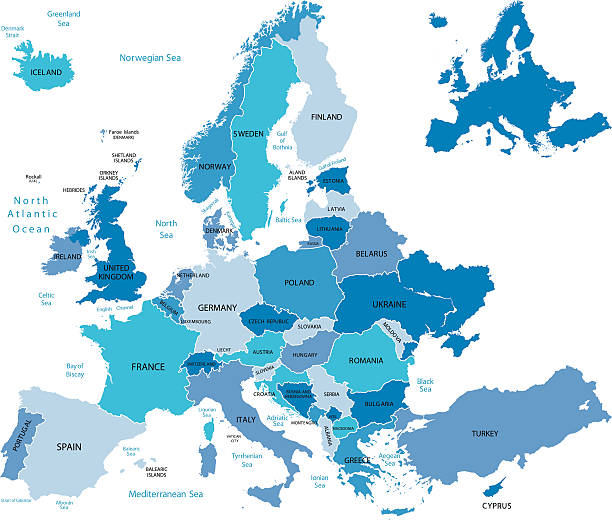
Highly detailed map of Europe for your design and product.
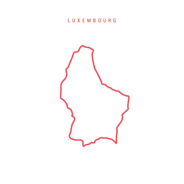
Luxembourg editable outline map. Luxembourgish red border. Country name. Adjust line weight. Change to any color. Vector illustration.
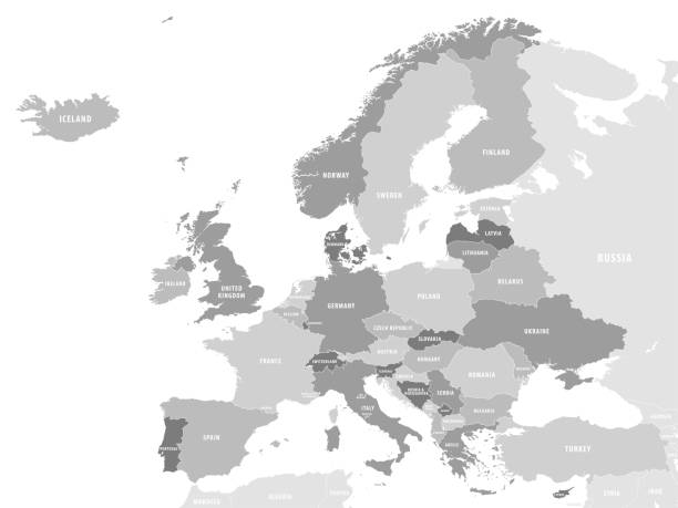
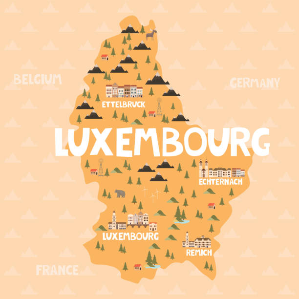
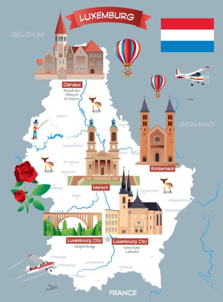
Illustration map of Luxembourg with city, landmarks and nature. Editable vector illustration

Luxembourg Political Map with capital Luxembourg, national borders, most important cities, rivers and lake. English labeling and scaling. Illustration.
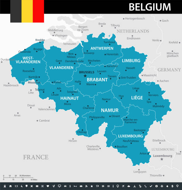
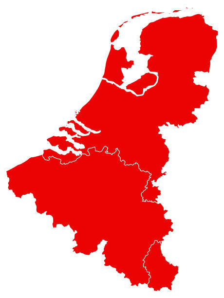
Map of Belgium - Vector illustration
Detailed map of Luxembourg with pointers.

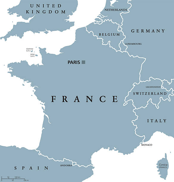
France political map with capital Paris, Corsica, national borders and neighbor countries. Gray illustration with English labeling and scaling on white background. Illustration.
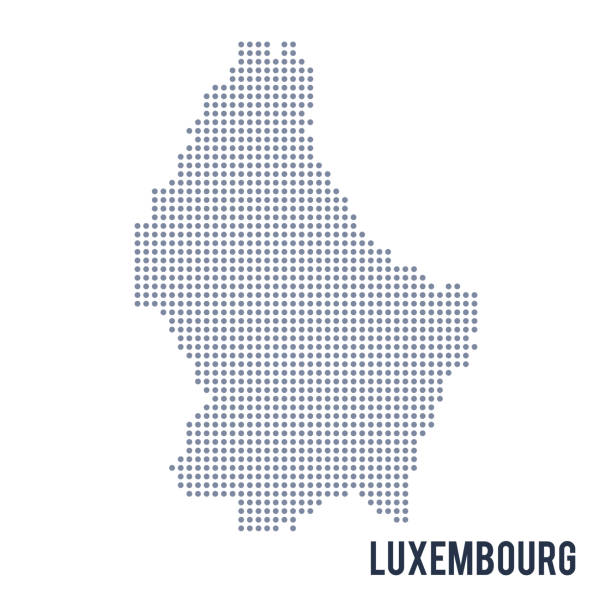
Vector dotted map of Luxembourg isolated on white background . Travel vector illustration
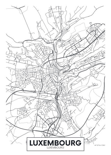
City map Luxembourg, travel vector poster design detailed plan of the city, rivers and streets

EU country, State in Europe.

Vector illustration. White silhouettes of West Europe states maps, simplified outlines. France, Belgium, Netherlands, Switzerland, Austria, Germany, Monaco, Liechtenstein, Luxembourg


a set of Luxembourg map icons
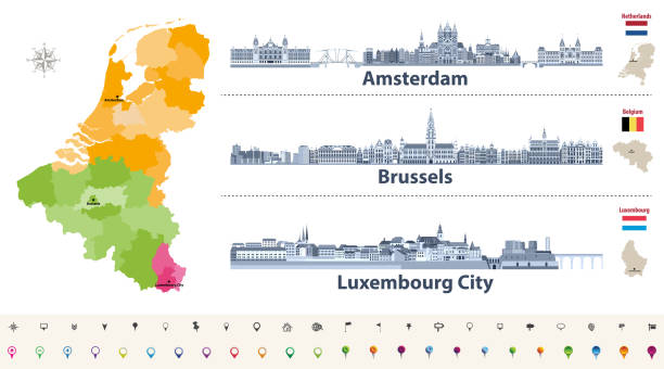
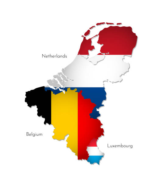
Vector regions map of Belgium, Netherlands and Luxembourg. Amsterdam, Brussels and Luxembourg City flat style skylines in dark blue color palette. Navigation and location icons

Map of Luxembourg with a big set of infographic elements. This large selection of modern elements includes charts, pie charts, diagrams, demographic graph, people graph, datas, time lines, flowcharts, icons... (Colors used: red, green, turquoise blue, black). Vector Illustration (EPS10, well layered and grouped). Easy to edit, manipulate, resize or colorize. Please do not hesitate to contact me if you have any questions, or need to customise the illustration. http://www.istockphoto.com/portfolio/bgblue


White map of Luxembourg isolated on a trendy color, a bright red background and with a dropshadow. Vector Illustration (EPS file, well layered and grouped). Easy to edit, manipulate, resize or colorize. Vector and Jpeg file of different sizes.

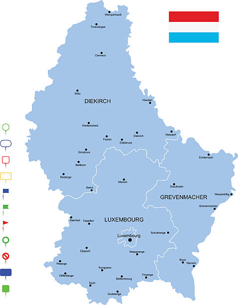
Luxembourg detailed map with regions and cities of the country. Vector illustration


Map link URL: https://legacy.lib.utexas.edu/maps/world_maps/united_states_foreign_service_posts-september_2011.pdf. Some urban locations were taken from: https://legacy.lib.utexas.edu/maps/world_maps/txu-oclc-264266980-world_pol_2008-2.jpg. The image was created in Adobe Illustrator in eps10 format

Detailed vector map of Luxembourg, including main cities, roads, rivers and lakes. The colors in the .eps-file are ready for print (CMYK). Included files are EPS (v10) and Hi-Res JPG (4922 x 4922 px).

Blue-green detailed map of Luxembourg administrative divisions with country flag and location on the globe. Vector illustration

Cantons of Luxembourg. Map of regional country administrative divisions. Colorful vector illustration.
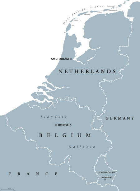
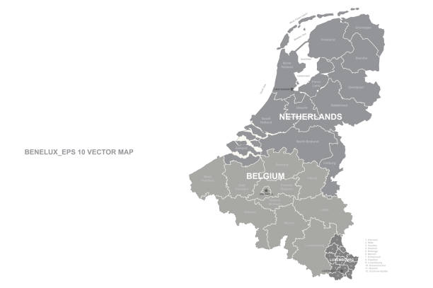
Benelux countries, gray colored political map. Belgium, Netherlands and Luxembourg. Benelux Union, a geographic, economic and cultural group. English labeling. Illustration on white background. Vector


vector illustration of Red map of Luxembourg

vector illustration of Benelux map


Topographic / Road map of Paris, France. Original map data is open data via © OpenStreetMap contributors

Map of BeNeLux countries with rivers and lakes and national flags. Map consists of separate maps of Belgium, Netherlands and Luxembourg that can be used separately. Please look at my other images of cartographic series - they are all very detailed and carefully drawn by hand WITH RIVERS AND LAKES.
Luxembourg icon. Network map of the country. Round Luxembourg sign with gradient ring. Technology, internet, network, telecommunication concept. Vector illustration.
Highly detailed vector map of Luxembourg with states, capitals and big cities.

Luxembourg political map with capital, national borders and neighbor countris. Grand Duchy of Luxembourg, a landlocked country in Western Europe. Gray illustration with English labeling. Vector.
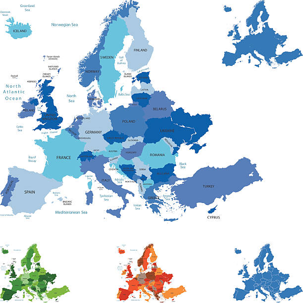
Highly detailed map of Europe for your design and products.

All round World Flags with country names (part3)

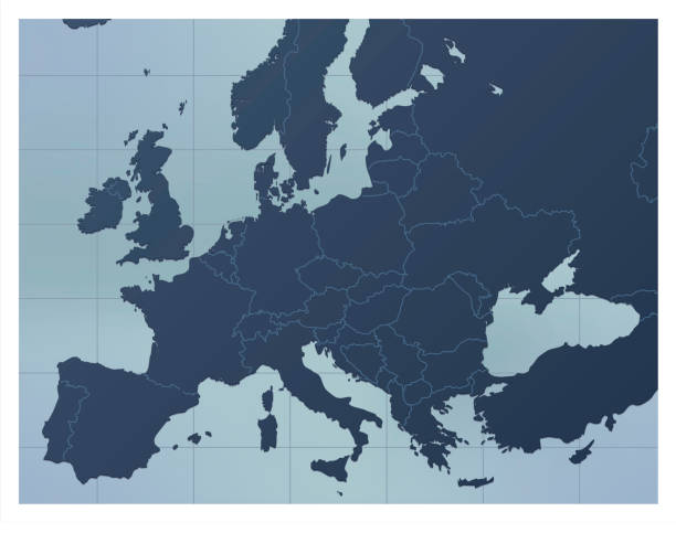
A dark blue Europe map. Good for your geographical presentations, websites and for printing.
Map icon of Luxembourg. Vector logo illustration with text Made in Luxembourg. Blue halftone dots background. Round pixels. Modern digital graphic design. Light white backdrop

West Europe Region. Colorful map of countries in western Europe. Vector illustration.

Maps of Luxembourg isolated on white background. Easily customizable for your design.

Map of Luxembourg created with a thin black outline and light rays. Trendy and modern illustraion isolated on a blank background. Vector Illustration (EPS10, well layered and grouped). Easy to edit, manipulate, resize or colorize.

Map of Luxembourg green highlighted with neighbor countries.
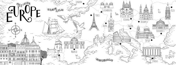
Hand drawn map of Southern Europe with selected capitals and landmarks, vintage web banner

Map of Luxembourg - Vintage Vector illustration


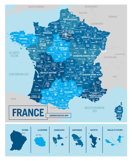
Precise map of France with administrative divisions. Vector in multiple layers so it's easy to edit.


Next