Minnesota Map With Counties stock illustrations
Browse 30+ minnesota map with counties stock illustrations and vector graphics available royalty-free, or start a new search to explore more great stock images and vector art.
Most popular
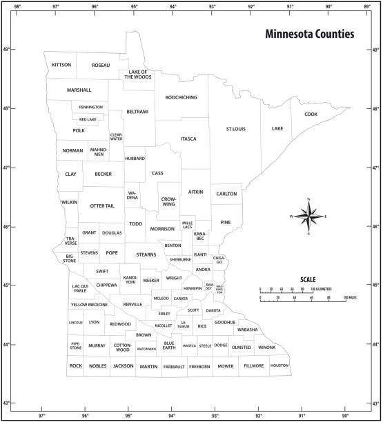
Detailed state-county map of Minnesota.
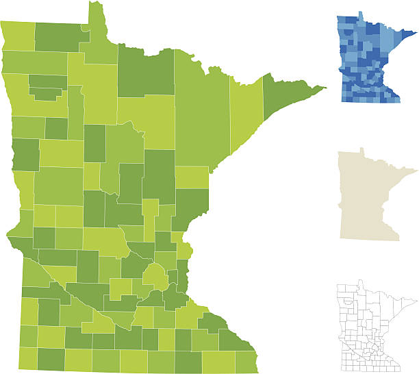
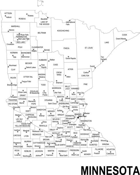
Highly-detailed Minnesota county map. Each county is in it's own separate labeled layer. All layers have been alphabetized for easy manipulation and use. (see image below -- note: labels only available in AICS2 and AI10 files)
minnesota state outline administrative map in black and white
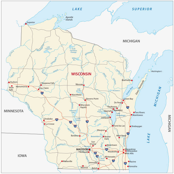
wisconsin road vector map

Detailed map of Minnesota with surroundings, provinces and capital


Highly-detailed Minnesota county map. Each county is in it's own separate labeled layer. County names are in a separate layer and can be easily adjusted or removed as well. All layers have been alphabetized for easy manipulation, recoloring or other use.


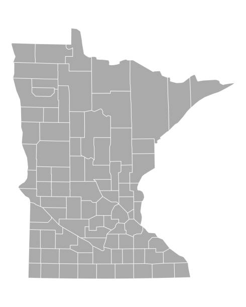
Vector illustration of the Minnesota County Map (Gray, Black, White)

Map of Minnesota state, US with flag and counties. Vector image


wisconsin road vector map with flag

Vector illustration of the Minnesota County Map

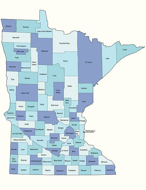
Map of Minessota state with counties
Detailed outline map of Minnesota with capital

Detailed map of Minnesota with provinces.


Detailed map of Minnesota with surroundings, provinces and capital

Neon map of Minnesota against black background.

Detailed map of Minnesota with capital and navigation icon.

Flat map of Minnesota state with cities against black background.