
New England Usa stock illustrations
Browse 26,100+ new england usa stock illustrations and vector graphics available royalty-free, or search for new england usa map to find more great stock images and vector art.
Most popular
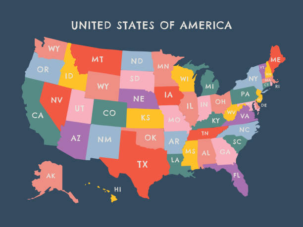
New England region, colored map. A region in the United States of America, consisting of the six states Maine, Vermont, New Hampshire, Massachusetts, Rhode Island and Connecticut. Illustration. Vector

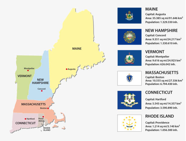
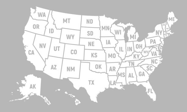
New England region of the United States of America, gray political map. The six states Maine, Vermont, New Hampshire, Massachusetts, Rhode Island and Connecticut with capitals. Illustration. Vector.


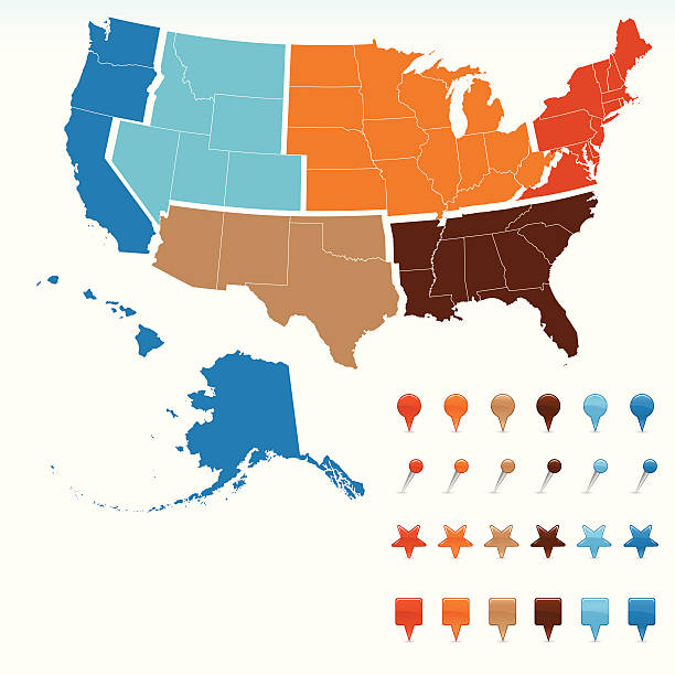
Map of United States split into Census regions and divisions. Region definition, widely used for data collection and analysis. Most commonly used classification system. English. Illustration. Vector
Vector illustration
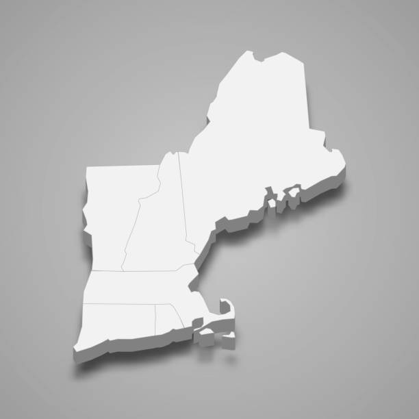
3d isometric map New England Region of United States, isolated with shadow
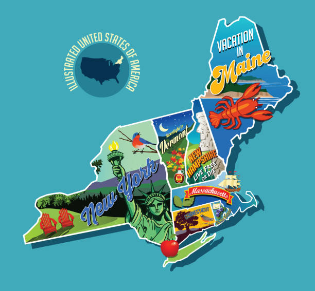
Illustrated pictorial map of Northeast United States. Includes Maine, New Hampshire, Vermont, Massachusetts, Connecticut, Rhode Island and New York. Vector Illustration.
New england states vector map with flags

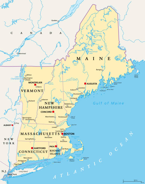
New England region of the United States of America, political map. Maine, Vermont, New Hampshire, Massachusetts, Rhode Island and Connecticut with their Capitals and borders. Illustration. Vector.

New england states road vector map
New england states vector map
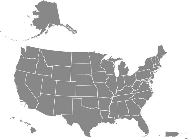
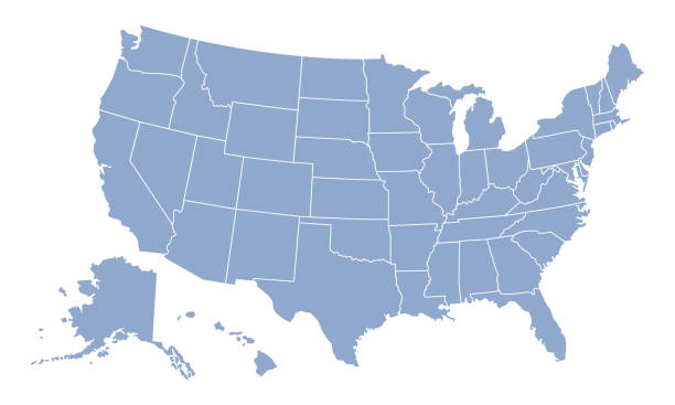
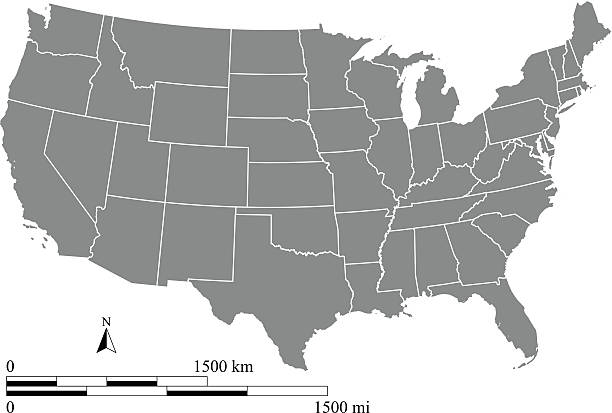
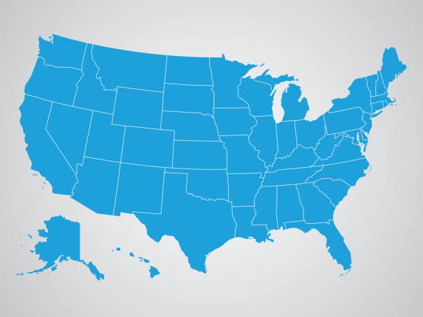
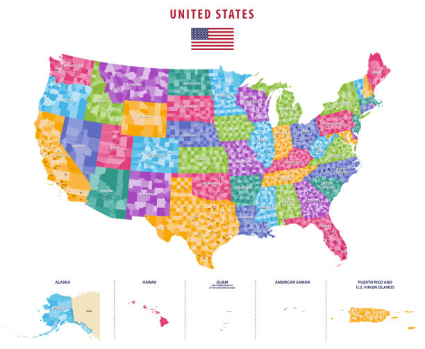
Downloadable map of United States of America. The spatial locations of Hawaii, Alaska and Puerto Rico approximately represent their actual locations on the earth.

Watercolor-style rendering of New England map. File is layered with water, land, surrounding land, outline, and cities/text on five separate layers to easily hide or remove elements. Outlines can be easily removed for plain watercolor rendering. File contains flat color and simple gradient blends.

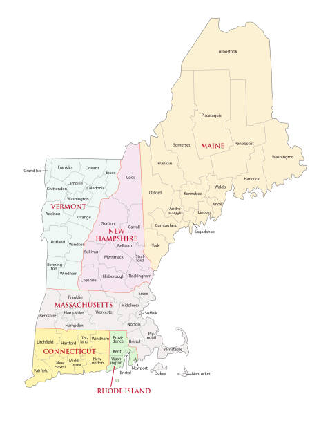
New England region of the United States of America, gray political map. Maine, Vermont, New Hampshire, Massachusetts, Rhode Island and Connecticut with capitals and borders. Illustration. Vector.
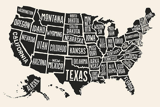
Poster map of United States of America with state names. Black and white print map of USA for t-shirt, poster or geographic themes. Hand-drawn black map with states. Vector Illustration
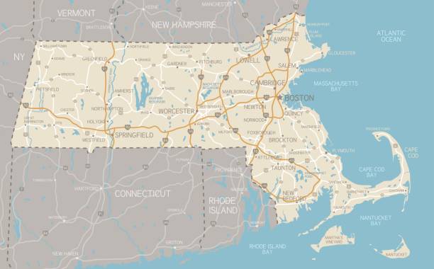
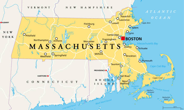
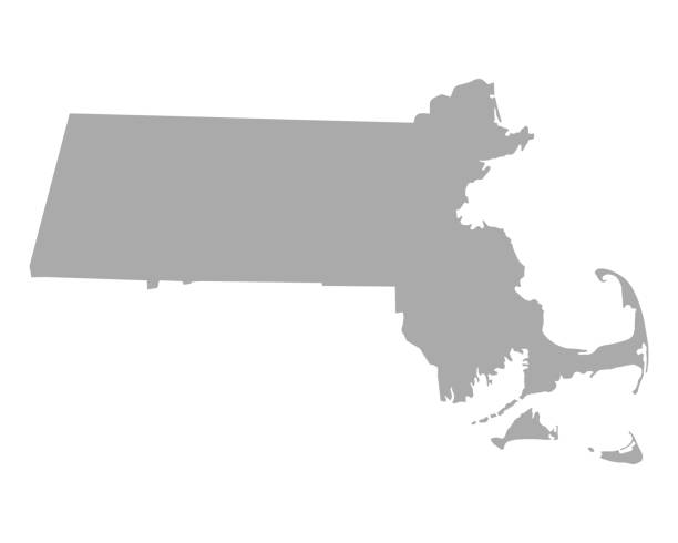
A detailed map of Massachusetts state with cities, roads, major rivers, and lakes. Includes neighboring states and surrounding water.

illustration of highly detailed U.S.A map with all state for your design , products and print.
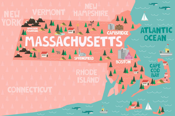
Illustrated map of the state of Massachusetts in United States with cities and landmarks. Editable vector illustration
This vector map of USA includes a high quality image file (jpg) and a vector file (eps) that can be scaled to any size. The map and scales are accurately prepared by a GIS expert.

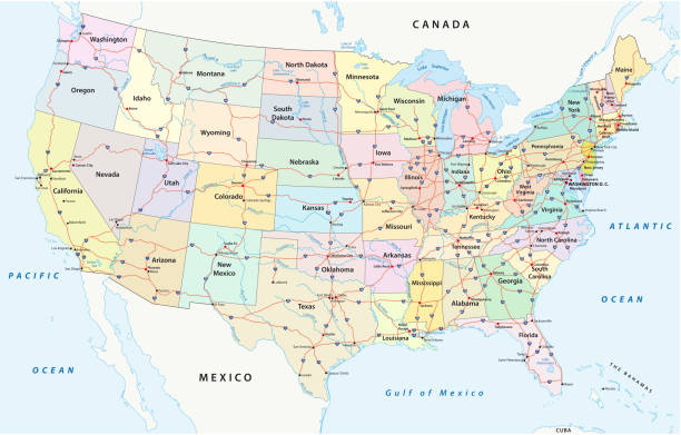
us interstate highway, administrative and political vectormap

U.S. states - Northeastern United States - Maine - hand made map. Rivers and lakes are shown. Please look at my other images of cartographic series - they are all very detailed and carefully drawn by hand WITH RIVERS AND LAKES.
map of the USA.

Poster map of United States of America with state names. Print map of USA for t-shirt, poster or geographic themes. Hand-drawn colorful map with states. Vector Illustration

The Rand-McNally Grammar School Geography 1895 - Chicago & New York
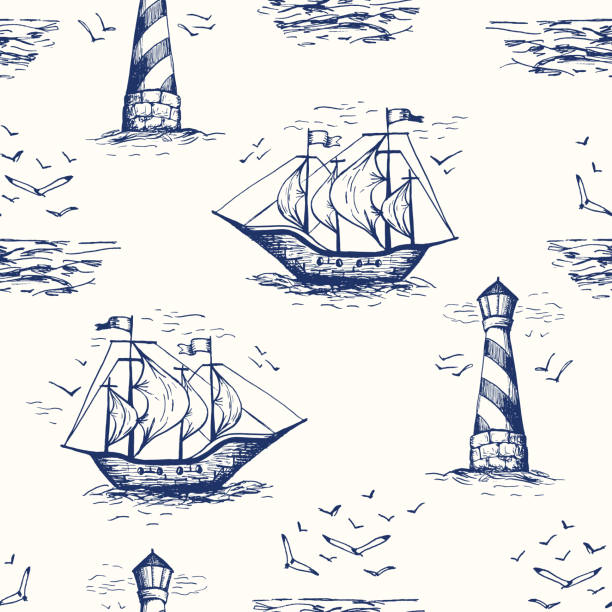
Vintage Hand-Drawn Nautical Toile De Jouy Vector Seamless Pattern with Lighthouse, Seagulls, Seaside Scenery and Ships. Monochrome Blue Marine Background. Sea, Ocean Elements.
Vector illustration

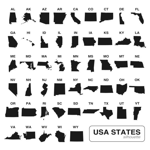
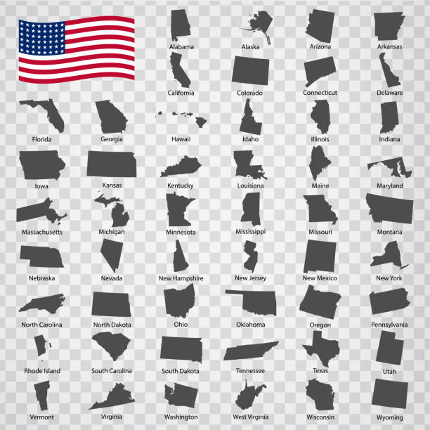
Editable vector of all 50 USA states maps black silhouette collection. Travel and commerce related concept illustration
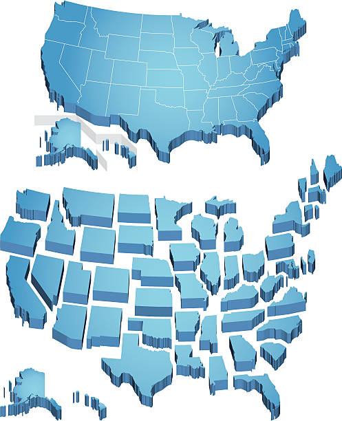
3D extruded map of the US. Individual states.
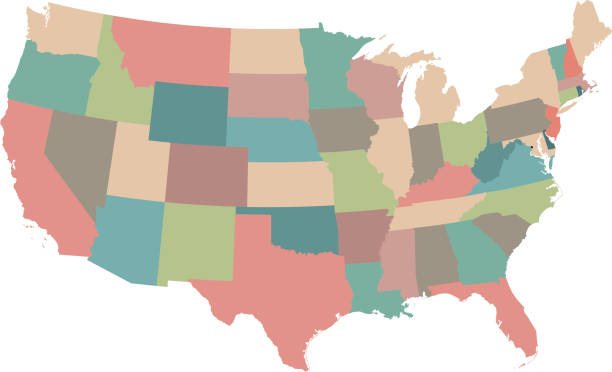
USA region map. Each part of the USA separated into it's own region. Includes outlines of every US state in it's own layer.

3d isometric map Northeast Region of United States, isolated with shadow

Boston MA City Vector Road Map Blue Text. All source data is in the public domain. U.S. Census Bureau Census Tiger. Used Layers: areawater, linearwater, roads.
High detailed vector map of USA with borders, states and cities. Illustration contains USA national flag and navigational icons
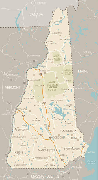
A detailed map of New Hampshire state with cities, roads, major rivers, and lakes. Includes neighboring states and surrounding water.
Vector illustration of USA regional map with navigation icons. Each region is in separate layer. Each country is separated, global colors used, easy to edit.
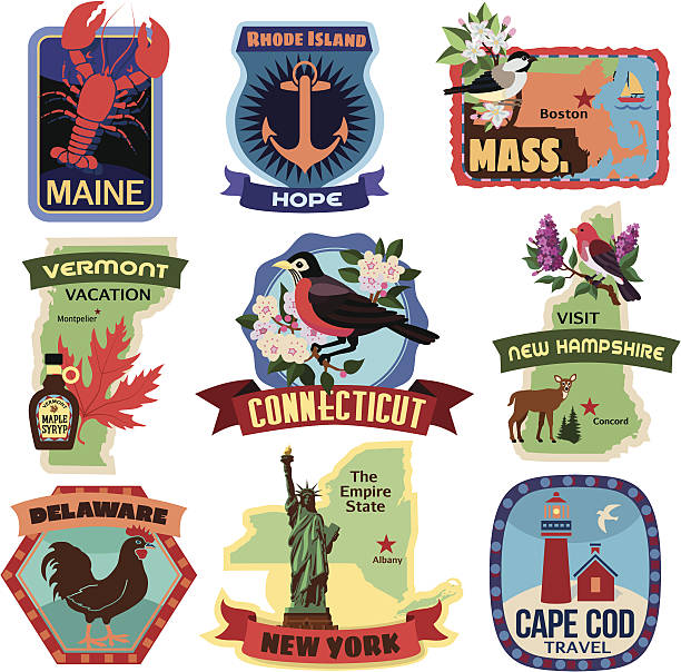
A set of New England related icons. See below for more travel images and other city and country icon sets. if you can't see the location you require, message me as I take requests.http://i688.photobucket.com/albums/vv250/TheresaTibbetts/TravelandVacations.jpg
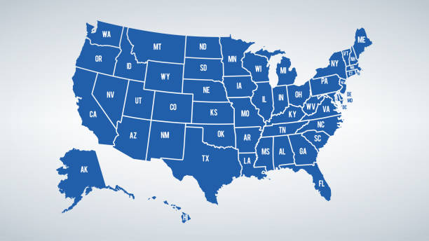
Vector USA colors map with borders of states and shorts name of each states.

Downloadable map of United States of America
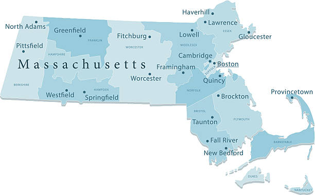
Detailed vector map of Massachusetts with administrative divisions. File was created on December 5, 2012. The colors in the .eps-file are ready for print (CMYK). Included files: EPS (v8) and Hi-Res JPG (5600 × 3733 px).
Massachusetts, political map with capital Boston. Commonwealth of Massachusetts, MA. Most populous state in the New England region of the United States. The Bay State. English. Illustration. Vector.
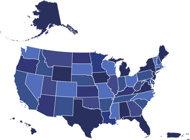
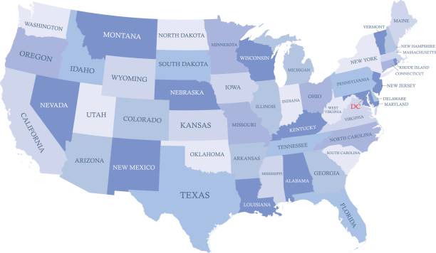
Downloadable blue color gradient map of United States of America. The spatial locations of Hawaii, Alaska and Puerto Rico approximately represent their actual locations on the earth.
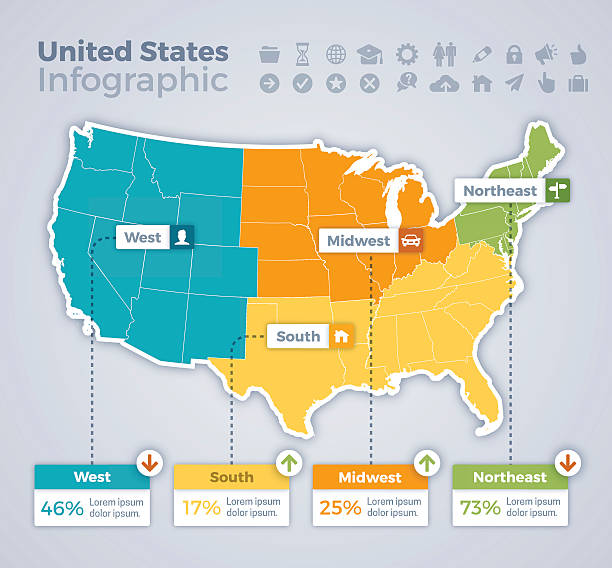
United States infographic map concept with space for your copy. EPS 10 file. Transparency effects used on highlight elements.

United States infographic map concept with space for your copy. EPS 10 file. Transparency effects used on highlight elements.

Vector Illustration
Vector cape Cod map with icons.

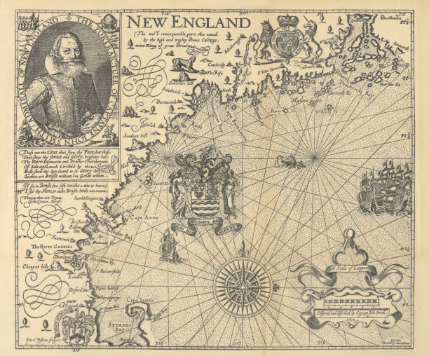
Beautifully Illustrated Antique Engraved Victorian Illustration of Historical Map of New England from Explorer Captain John Smith, Circa 1624. Source: Forerunners and Competitors of the Pilgrims and Puritans, Published in 1899. Original edition from my own archives. Copyright has expired on this artwork. Digitally restored.

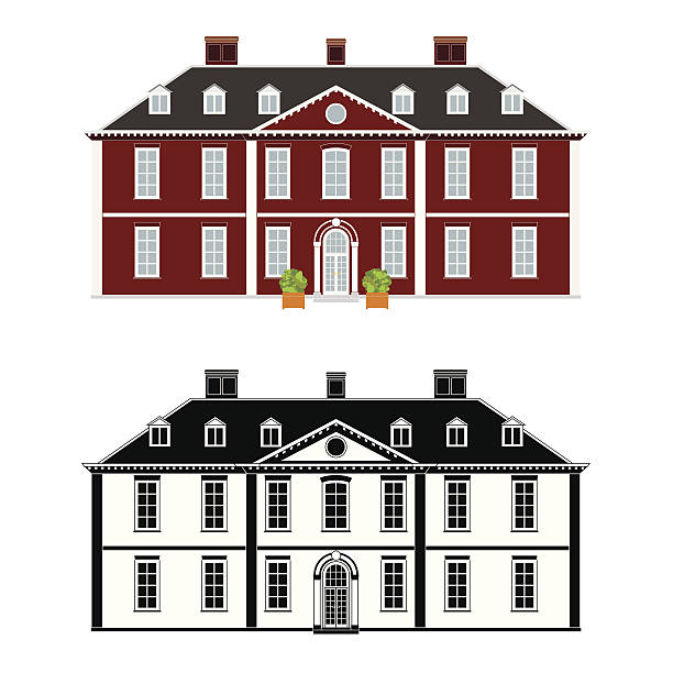
Mansion in 18th century Queen Anne style, color and black monochrome version on different layers
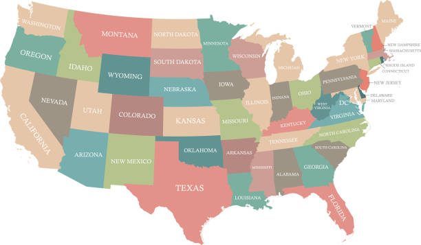
Highly detailed USA map prepared by a map expert.
Next