Ohio State Map stock illustrations
Browse 180+ ohio state map stock illustrations and vector graphics available royalty-free, or search for ohio map or west virginia map to find more great stock images and vector art.
Most popular
ohio state map concept
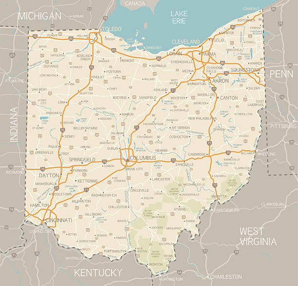
A detailed map of Ohio state with cities, roads, major rivers, and lakes plus National Forests. Includes neighboring states and surrounding water.
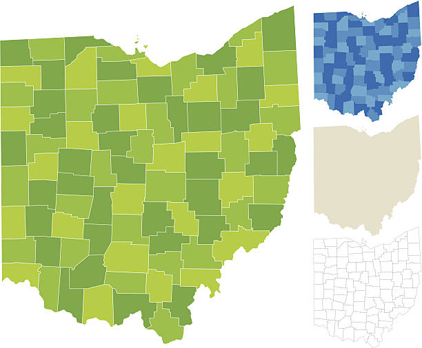
Highly-detailed Ohio county map. Each county shape is in a separate labeled layer. All layers have been alphabetized for easy manipulation, recoloring or other use. (see image below -- note: labels only available in AICS2 and AI10 files)
ohio state map concept


Highly-detailed vector map of the state of Ohio in four varieties. Very easy to manipulate and use.
Highly-detailed Ohio county map. Each county is in it's own separate labeled layer. County names are in a separate layer and can be easily adjusted or removed as well. All layers have been alphabetized for easy manipulation, recoloring or other use.

A nice and smooth outline of the state of Ohio for all you crazy buckeyes.
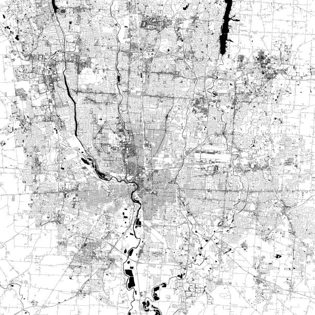
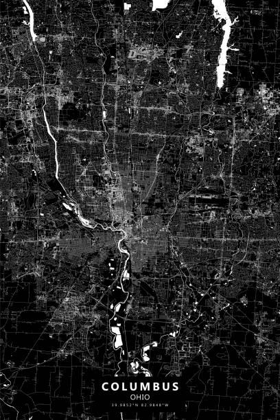
Topographic / Road map of Columbus, OH, USA. Original map data is open data via © OpenStreetMap contributors

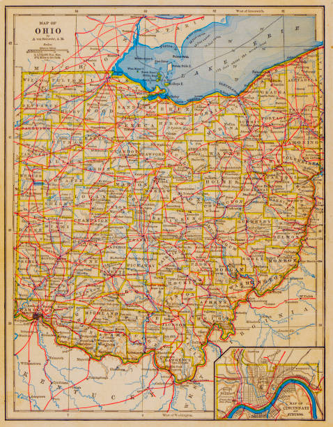
An old map of the state of Ohio in the USA scanned from an 1881 original. Photo by N. Staykov (2007)

Ohio vector map with single border line boundary using white color on gray background

Blue Ohio map ice with dark and light effect vector on light background


Ohio State (USA) Map with Set of Infographic Elements in Red Color in Light Background. Modern Information Graphics Element for your design.


Detailed vector map of the State and Flag. PDF file included.

Ohio State (USA) Map with Set of Infographic Elements in Blue Color in Dark Background. Modern Information Graphics Element for your design.
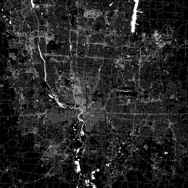
Poster Style Topographic / Road map of Columbus, OH, USA. Original map data is open data via © OpenStreetMap contributors

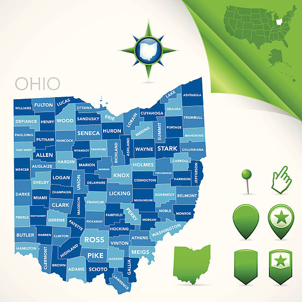
Map of Ohio state with counties
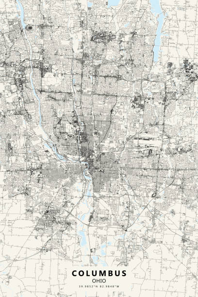
Topographic / Road map of Columbus, OH, USA. Original map data is open data via © OpenStreetMap contributors
Map of Ohio. Set of flat design icons nfographics elements with American symbols.

Detailed vector map of the State and Flag. PDF file included.

Real estate concept with house for sale and rent symbols vector illustration

Ohio watercolor map vector illustration of blue color on light background using paint brush in paper

Ohio map using green color with dark and light effect vector on light background


Ohio State map highlighted on USA map. Ohio map on United state of America with flag and navigation icons.
Poster Style Topographic / Road map of Columbus, OH, USA. Original map data is open data via © OpenStreetMap contributors

Template, copy space, 3D Render

American states vector maps. Microchip Series

American states vector maps. Microchip Series

American states vector maps. Microchip Series

American states vector maps. Microchip Series


Next