
River City Top View stock illustrations
Browse 90+ river city top view stock illustrations and vector graphics available royalty-free, or search for sky to find more great stock images and vector art.
Most popular

City map - town streets on the plan. Map of the scheme of road. Urban environment, architectural background. Vector
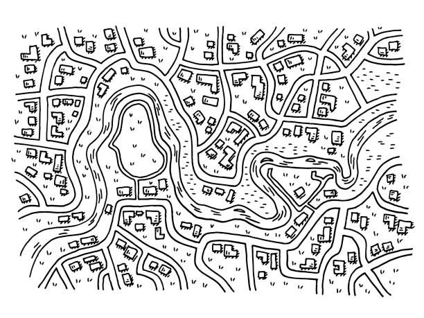
Hand-drawn vector drawing of a Generic City Map with a River. Black-and-White sketch on a transparent background (.eps-file). Included files are EPS (v10) and Hi-Res JPG.
City navigation map. Flat plan of streets parks and river with top view, simple cartoon city map. Vector illustration downtown pattern with beautiful mapping image town squares, square
City map with gps. Seamless pattern texture with street, road, river, land, park roadmap of city. Urban plan for topography, geography, guidance and travel. Abstract navigation wallpaper. Vector.

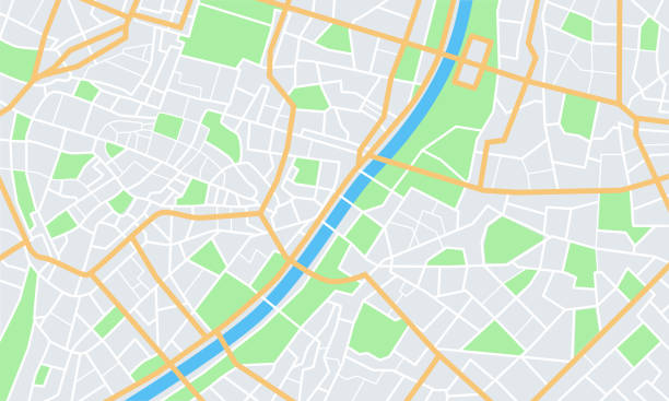
City map illustration for navigation app. Top view. City layout map with port and river

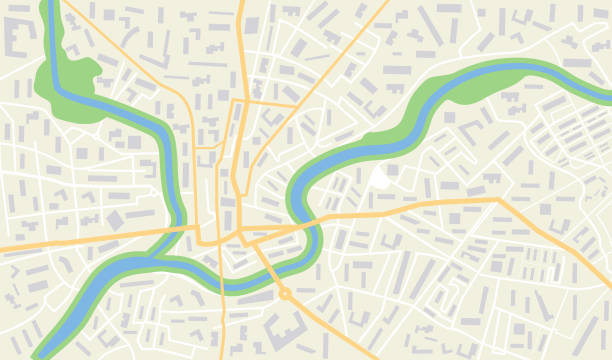
Generic imaginary city street map plan with river. Vector colorful town eps illustration schema

"Vector Illustration of a fictional, hand-drawn city map. The strokes are on a separate layer. The colors in the .eps-file are ready for print (CMYK). Included files: EPS (v8) and Hi-Res JPG."


Abstract city map with roads houses parks and a river. Town streets on the plan. Top view

Map city. Graphic plan town with streets, river, bridges, green parks, buildings and roads. Urban background with location, navigation for gps, travels and guides. Aerial pattern cartography. Vector.

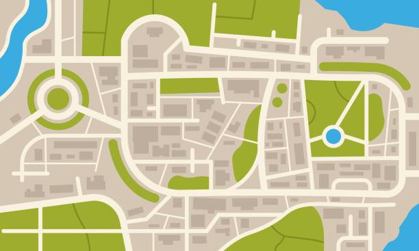
Aerial clean top view of the city map with street and river, Blank urban imagination map, GPS map navigator concept, vector illustration

Panorama city of London with River Thames 16th century Original edition from my own archives Source : Illustrierte Geschichte 1883

A vector image of the view of famous Ponte Vecchio bridge in the city of Florence, Tuscany, Italy.

City Transport Car and Bus Moving at Bridge over River at Summer Time. Elevated Road Junction and Interchange Overpass. City Highway. Flowing Traffic Road Infographics Cartoon Flat Vector Illustration

Flat street map with direction. Gps navigation on road town with pins. Simple information scheme of city with river for travel. Plan of route with orientation point. Scheme map from satellite. vector

Abstract city map. Top view of the city map with street and river. Vector illustration.


City map set. Town streets with green line park and river. Downtown gps navigation plans, abstract transportation urban in vector. Drawing town small road maps. Urban patterns texture.

Vector Illustration of a City Street Map of Fall River, Massachusetts, USA. Scale 1:60,000. All source data is in the public domain. U.S. Geological Survey, US Topo Used Layers: USGS The National Map: National Hydrography Dataset (NHD) USGS The National Map: National Transportation Dataset (NTD)

Aerial clean top view of the night time city map with street and river, Blank urban imagination map, GPS map navigator concept, vector illustration

A large/long city tile with roads and water. Contains varying buildings and a bridge.

Aerial clean top view of the city map with street and river, Blank urban imagination map, GPS map navigator concept, vector illustration

Clean top view of the day time city map with street and river, Blank urban imagination map, vector illustration


"Vector Illustration of a fictional, hand-drawn city map. The strokes are on a separate layer. The colors in the .eps-file are ready for print (CMYK). Included files: EPS (v8) and Hi-Res JPG."

City map or plan for your navigation design. Roads, river and other urban map details. Flat color vector illustration.

Top view of city public park with walking people vector illustrastion.

Map city with gps and geo route. Navigation for delivery. Path on street with location. App with map, road, town, park and river. Cartography of urban with tracking plan. Pin for journey. Vector.

Flat City Navigation Map, Streets Parks and River with Top View, Vector Illustration

Map of the city center with streets, roads, parks and river. Urban top view. Vector Illustration.

Generic city map with signs of streets, roads and house. Abstract navigation plan of urban area. Simple scheme of city with poi. Colored flat vector illustration. Navigation concept

Generic city map with signs of streets, roads and house. Abstract navigation plan of urban area. Simple scheme of city with poi. Colored flat vector illustration. Navigation concept

Abstract Map city with gps pins. Direction markers for navigation. Street, road, park, river on plan town. Background with location system. Urban map with information pointers, signs, arrows for travel. Vector illustration

Antwerp City Hall And the Scheldt river in Antwerp, Belgium. Vintage halftone etching circa 19th century.


Aerial clean top view of the night time city map with street and river, Blank urban imagination map, GPS map navigator concept, vector illustration

Aerial clean top view of the city map with street and river, Blank urban imagination map, GPS map navigator concept, vector illustration

Aerial clean top view of the city map with street and river, Blank urban imagination map, GPS map navigator concept, vector illustration


Generic city map with signs of streets, roads and river. Abstract navigation plan of urban area. Simple scheme of city. Colored flat vector illustration. Navigation concept


Aerial clean top view of the city map with street and river, Blank urban imagination map, GPS map navigator concept, vector illustration

Generic city map with signs of streets, roads and house. Abstract navigation plan of urban area. Simple scheme of city with poi. Colored flat vector illustration. Navigation concept


Map city with gps pins. Direction markers for navigation. Street, road, park, river on plan town. Background with location system. Urban map with information pointers, signs, arrows for travel. Vector illustration
Next