Russian Empire Map stock illustrations
Browse 250+ russian empire map stock illustrations and vector graphics available royalty-free, or start a new search to explore more great stock images and vector art.
Most popular
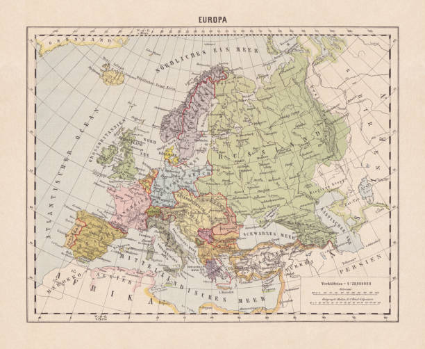
Political map of Europe. Descriptions in German. Lithograph, published in 1893.

Commonwealth of Independent States (CIS), political map. Regional intergovernmental organization in Eurasia, formed following the dissolution of the Soviet Union. Nine member states and one associate.

Map of the Mongol empire at its greatest extent in 1259 AD

Vintage map showing Europe in the 9th Century at the time of the dismemberment of the Carolingian Empire.
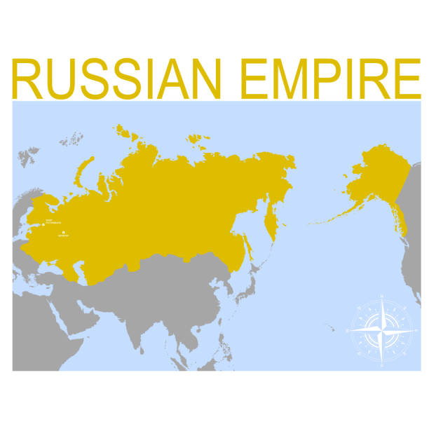
vector map of the Russian Empire for your design

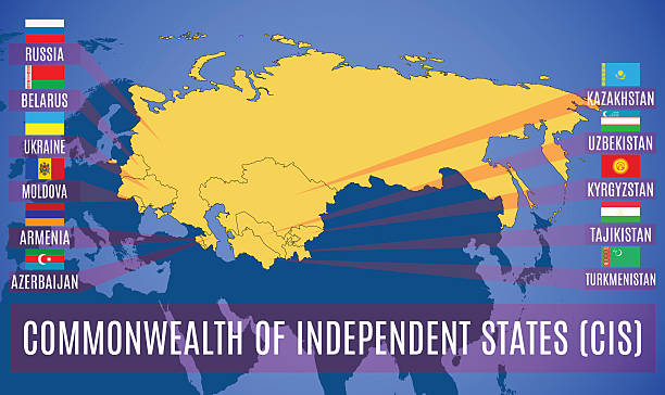
vector map with location of the Commonwealth of Independent States for your project

Illustration of a German Empire: Languages and dialects map

Map of the Commonwealth of Independent States (CIS). Flags of countries-members of CIS without Ukraine and Turkmenistan. Vector.

German Empire within the borders of 1871 - 1918. Lithograph, published in 1875.

United Kingdom country silhouette with flag on background on white
Schematic map of the Commonwealth of Independent States (CIS). Flags of countries-members of CIS. Vector.

Map of the historical development of the Russian Empire, top, left: 15th - 17th century. Top, right and bottom: 17th - 19th century. Lithograph, published in 1897.

The Russian empire at its greatest extend in 1866

FIJI detailed editable map with regions cities and towns, roads and railways, geographic sites. Vector EPS-10 file


Nothern Ireland country detailed editable map with regions cities and towns, roads and railways, geographic sites. Vector EPS-10 file
Schematic vector map of the international waters or trans-boundary waters.

A detailed map of the top four greatest States of Europe in the form of flags. Germany, Italy, France, UK.

vector illustration with map of the Golden Horde

Singapore detailed editable map. Vector EPS-10 file

Map of Near, Middle and Far East Asia with distances from London. "Royal Geographical Readers no. 5" of Asia, Africa, America & Oceania, publ. T Nelson & Sons, London, 1883.

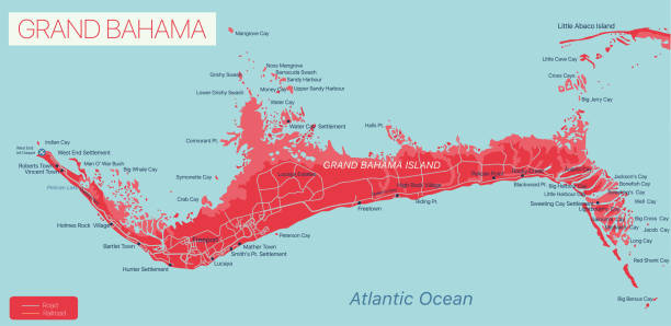
Grand Bahama island detailed editable map, vector EPS-10 file
Save earth concept vector illustration. Metaphor of peace and love

Historical topographic map of the Caucasus Region. Lithograph, published in 1898.


Seychelles islands detailed editable map with regions cities and towns, roads and railways, geographic sites. Vector EPS-10 file

Vector art


Illustration of a German Empire: denomination card

Topographic map of Central Asia with the nation borders during the British Empire. Lithograph, published in 1897.

Map of the Mongol empire at its greatest extent in 1259 AD

Vintage map showing Europe in the 9th Century at the time of Charlemagne

Historical map of the Balkan Peninsula, late 19th century. Explanations in German. Lithograph, published in 1893.

Vintage engraving of a Antique damaged map Russia in the 19th Century, 1873


Poster Holiday of Unity and Security - Commonwealth Day Calendar holiday on March. Vector illustration


Liberia country detailed editable map with regions cities and towns, roads and railways, geographic sites. Vector EPS-10 file


Vector map of the Commonwealth of Independent State (CIS) with the Russian Crimea. Set creative markers with flags of states members of the CIS.


Hands with hearts support the globe surrounded by colorful birds. Symbol of peace.

Map of the Commonwealth of Independent States (CIS). Flags of countries-members of CIS. Vector.


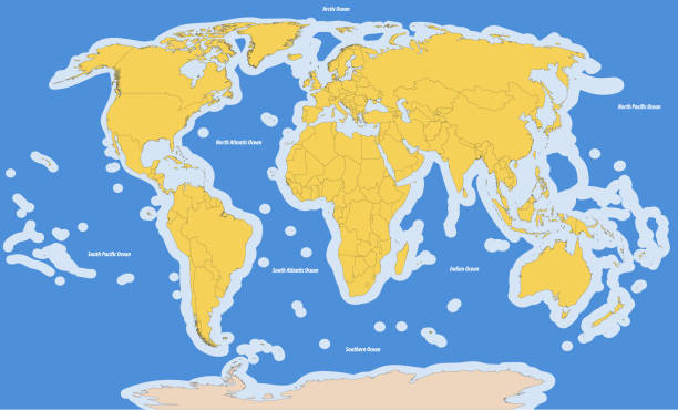
Turkey, Russia countries isolated on world map. Light gray background. Business concepts, backgrounds and Wallpapers.
Australia flag symbols set, national flag icons of Commonwealth of Australia

Lebanon country detailed editable map with regions cities and towns, roads and railways, geographic sites. Vector EPS-10 file


old map of russian in asia (russian empire) 1883
Next