San Francisco Bay Area stock illustrations
Browse 5,300+ san francisco bay area stock illustrations and vector graphics available royalty-free, or search for san francisco or hong kong-zhuhai-macao bridge to find more great stock images and vector art.
Most popular
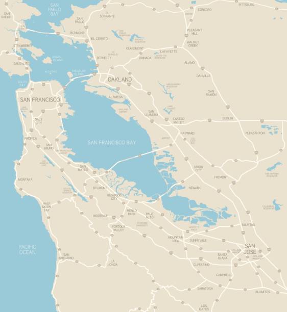
A map of the Bay Area, including San Francisco, Oakland and San Jose. Includes highways and freeways, the main cities in the region and bodies of water. Includes CS3 file and an extra-large JPG.
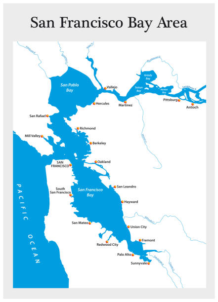
San Francisco Bay Area vector map

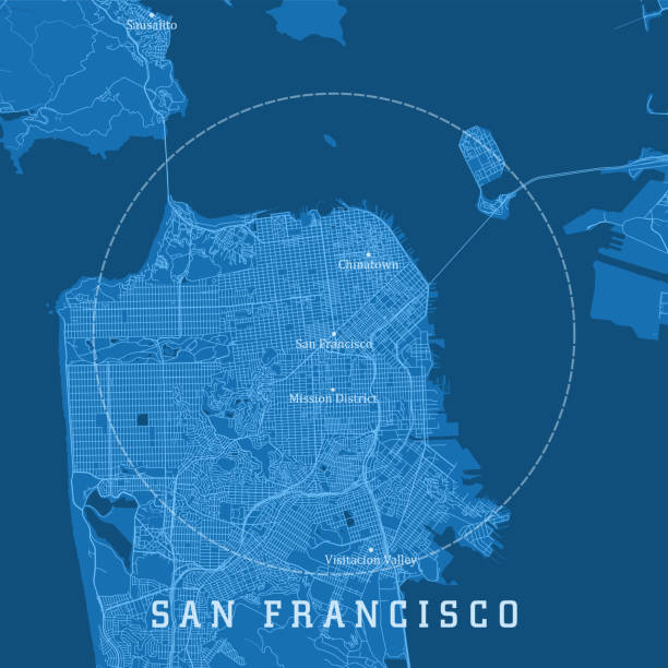
San Francisco CA City Vector Road Map Blue Text. All source data is in the public domain. U.S. Census Bureau Census Tiger. Used Layers: areawater, linearwater, roads.
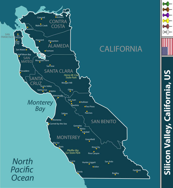
Silicon Valley region in California, United States with neighboring counties. Vector image

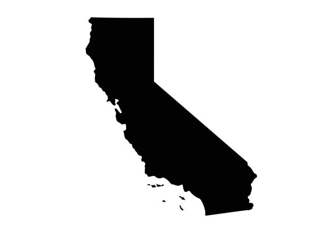
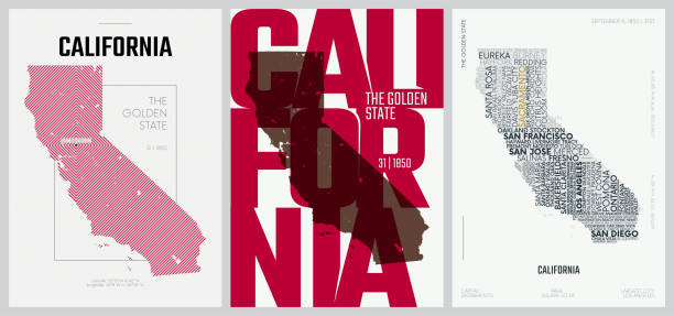
vector illustration of California map
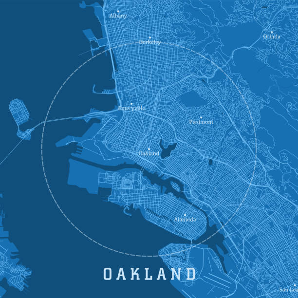
Oakland CA City Vector Road Map Blue Text. All source data is in the public domain. U.S. Census Bureau Census Tiger. Used Layers: areawater, linearwater, roads.
Vector illustrations created with illustrator CS6
Golden Gate Bridge Icon on white background

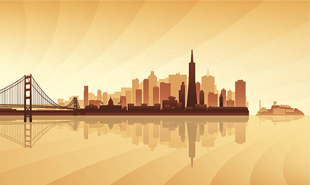
Skyline of San Francisco at sunset time. Main parts are on the separate layers
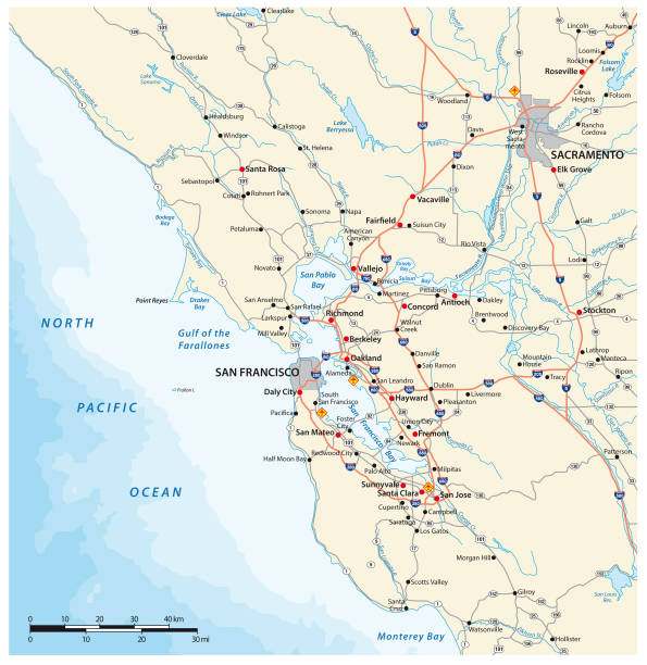
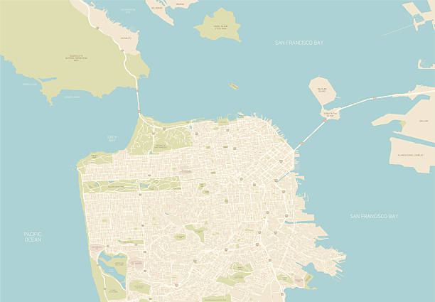
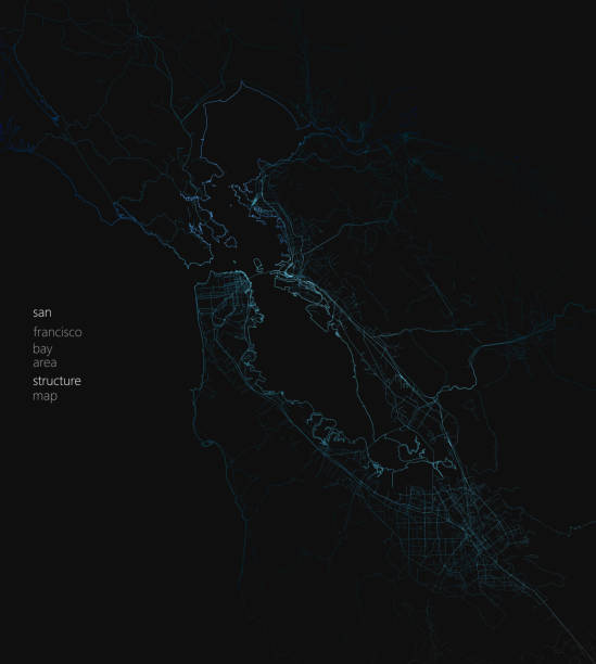
San Francisco Bay Area CA Vector Road Map Blue Text. All source data is in the public domain. U.S. Census Bureau Census Tiger. Used Layers: areawater, linearwater, roads.
Survey vector map of Californian Silicon Valley, United States

Thirty Three of United States biggest cities skylines.

Golden Gate Bridge in San Francisco.
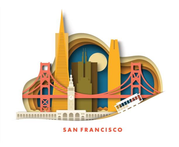
San Francisco California city in USA travel landscape vector illustration in paper cut craft art origami style. Panorama of famous skyscraper tower building architecture and bridge landmark


San Jose CA City Vector Road Map Blue Text. All source data is in the public domain. U.S. Census Bureau Census Tiger. Used Layers: areawater, linearwater, roads.

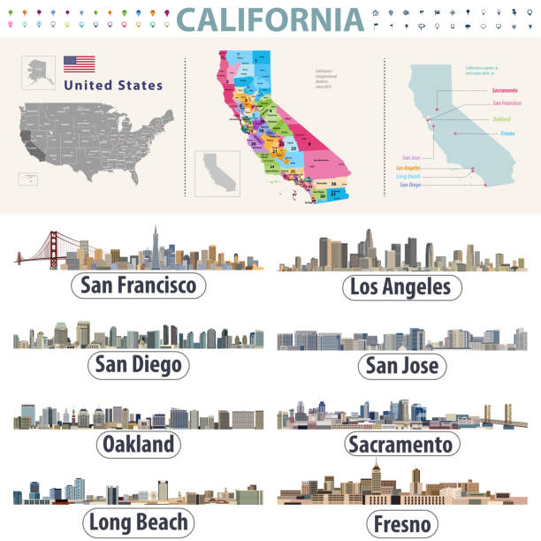
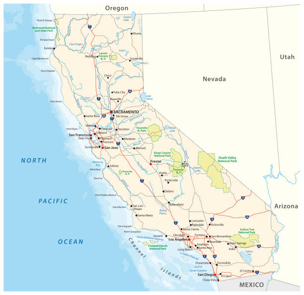
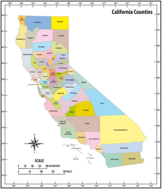
highly detailed map from California state & counties for your design and products.
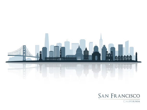
San Francisco city skyline detailed silhouette. Vector illustration

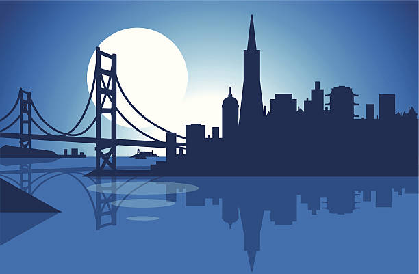
San Francisco Bay Skyline

Antique illustration of a Map of San Francisco

Flat well known silhouettes. Vector illustration easy to edit for flyers, posters or book covers.
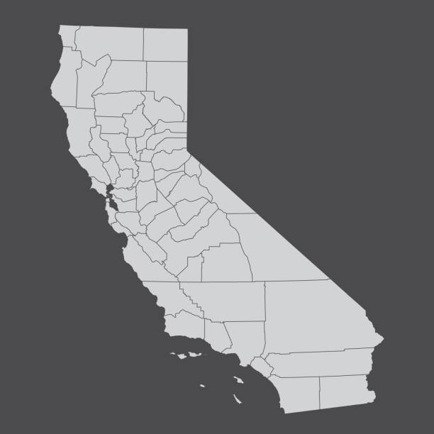
California county map vector outline illustration with counties names labeled in gray background. California state of USA county map. Map of California county state of United States of America

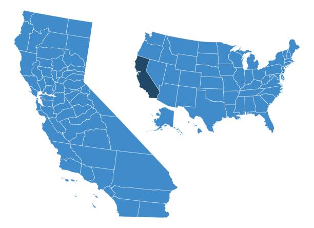
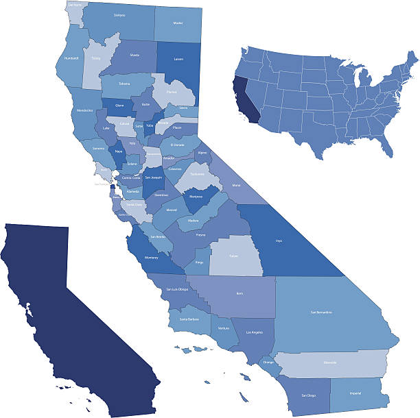
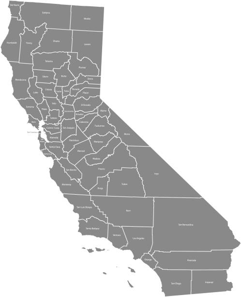
Map of California state with counties
Vector illustration

San Mateo CA City Vector Road Map Blue Text. All source data is in the public domain. U.S. Census Bureau Census Tiger. Used Layers: areawater, linearwater, roads.

Golden Gate Bridge icon set with different sky background color: day, night, sunset. Simple San Francisco landscape variations. Cartoon silhouette vector illustration.
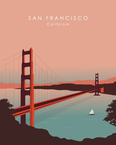
San Francisco, California, USA, Golden Gate Bridge view, poster design, banner design

Topographic / Road map of San Jose, CA.

Counties map of California state of United States of America. The map is accurately prepared by a map expert.
California counties map isolated on dark background
Vector of Golden Gate Bridge Icon
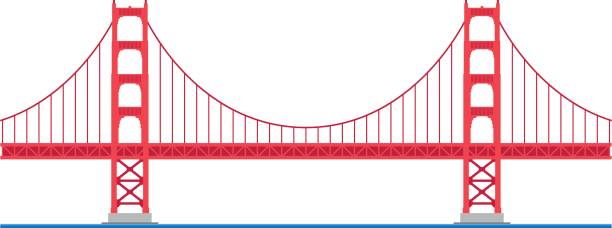
Golden Gate Bridge, San Francisco, USA. Isolated on white background vector illustration.
Golden Gate Bridge icon. San Francisco Bridge thin line art colorful icons. Travel icon, Vector flat illustration

Vector poster map city San Francisco detailed plan of the city, rivers and streets

The golden gate bridge, which is held by steel cables, helps to overcome the river of water between two islands of land with the sun in the background

Highly-detailed California county map. Each county is in it's own separate labeled layer. County names are in a separate layer and can be easily adjusted or removed as well. All layers have been alphabetized for easy manipulation, recoloring or other use.

Vector travel sticker. The Golden Gate, San Francisco, The USA.

Golden Gate Bridge San Francisco
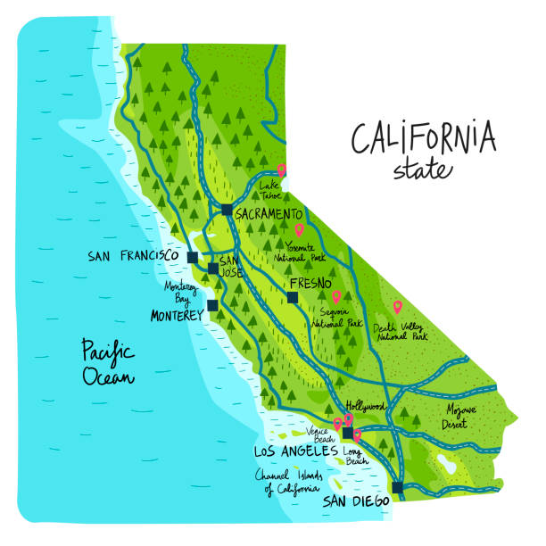
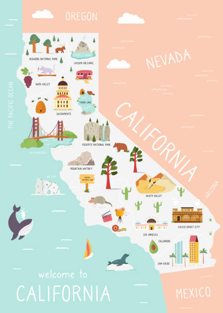
Map of California state of the USA, with landmarks. Colorful hand drawn illustration

Macro shot on a US map from 1881 showing the state of California. Taken with Canon 5D Mark II and Sigma Lens. Selective focus on the center of the image.SEE MORE US STATES MACRO SHOTS ON A MAP:

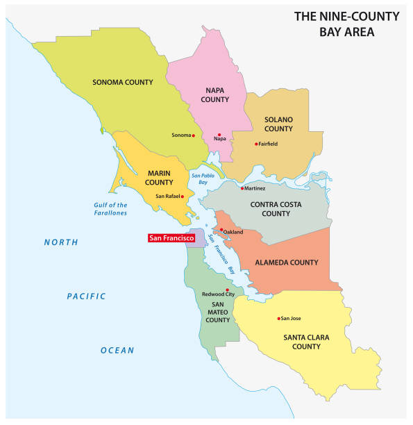
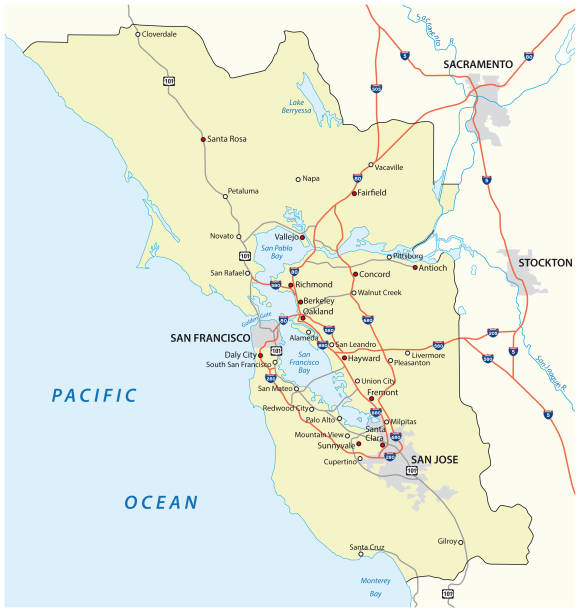
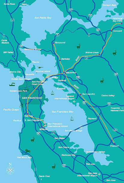
san francisco bay area map

Next