Savannah Georgia stock illustrations
Browse 590+ savannah georgia stock illustrations and vector graphics available royalty-free, or search for savannah georgia skyline or charleston sc to find more great stock images and vector art.
savannah georgia skyline
charleston sc
savannah
forsyth park
new orleans
savannah georgia port
historic savannah georgia
savannah georgia fountain
savannah georgia river street
savannah georgia river
savannah georgia beach
savannah georgia downtown
savannah georgia trees
savannah georgia people
savannah georgia walking
savannah georgia aerial
savannah georgia homes
savannah georgia night
savannah georgia house
savannah georgia architecture
savannah georgia waterfront
savannah georgia winter
savannah georgia fall
savannah georgia city hall
savannah georgia church
savannah georgia square
savannah georgia plantation
savannah georgia home
savannah georgia forest
savannah georgia park
Most popular

A set of vintage-style icons and typography representing the state of Georgia, including Atlanta, Savannah and Augusta. Each items is on a separate layer. Includes a layered Photoshop document. Ideal for both print and web elements.
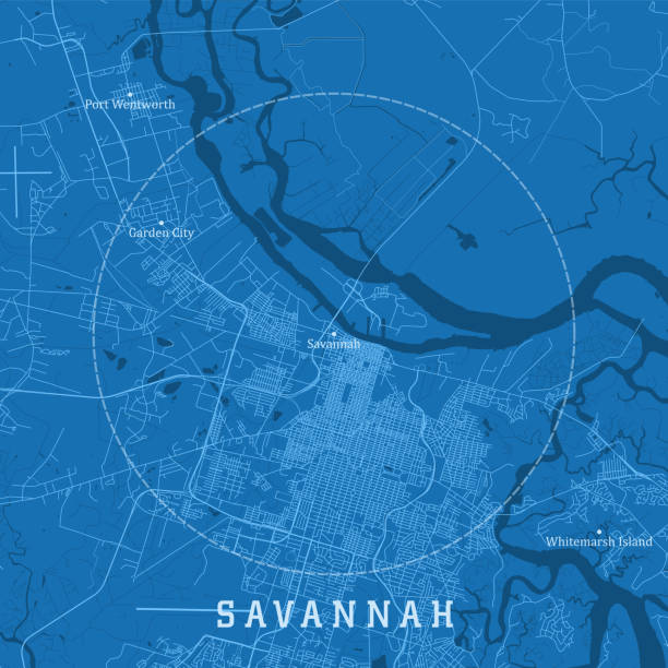
Savannah GA City Vector Road Map Blue Text. All source data is in the public domain. U.S. Census Bureau Census Tiger. Used Layers: areawater, linearwater, roads.

Vector version of my own calligraphy

Savannah, Georgia architecture line skyline illustration. Linear vector cityscape with famous landmarks, city sights, design icons. Editable strokes


United States, Savannah flat landmarks vector illustration. United States, Savannah line city with famous travel sights, design skyline.


United States, Savannah travel landmarks, vector city tourism illustration
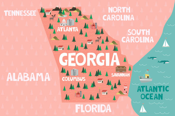
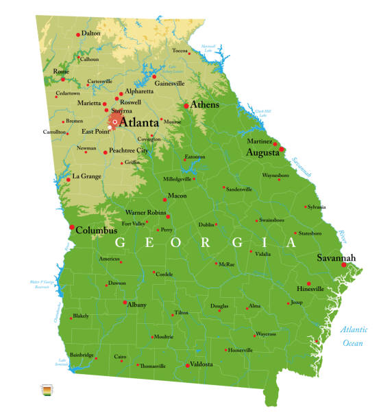
Illustrated map of the state of Georgia in United States with cities and landmarks. Editable vector illustration


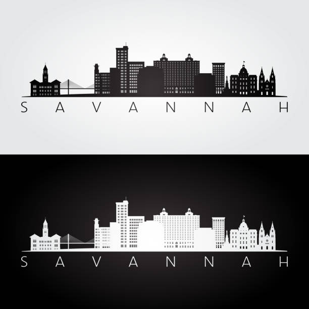
Savannah silhouette skyline. USA - Savannah vector city, american linear architecture, buildings. Savannah line travel illustration, landmarks. USA flat icon, american outline design banner


Vector Illustration of a City Street Map of Savannah, Georgia, USA. Scale 1:60,000. All source data is in the public domain. U.S. Geological Survey, US Topo Used Layers: USGS The National Map: National Hydrography Dataset (NHD) USGS The National Map: National Transportation Dataset (NTD)

Very Rare, Beautifully Illustrated Antique Engraving of Fountain in Forsyth Park, Savannah, Georgia, United States, American Victorian Engraving, 1872. Source: Original edition from my own archives. Copyright has expired on this artwork. Digitally restored.


Vintage engraving of Colony of Savannah, Georgia, South Carolina, 18th Century

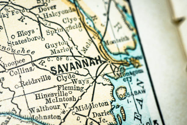
Maury’s Geographical Series Manual of Geography - New York 1899
United States, Savannah city isolated skyline vector illustration, travel landmark


Church on Bull Street, Savannah, U.S. state of Georgia. Published in Picturesque America or the Land We Live In (D. Appleton & Co., New York, 1872).

Georgia, GA, gray political map with capital Atlanta and largest cities. State in the southeastern region of the United States of America. Peach State. Empire State of the South. Illustration. Vector


Very Rare, Beautifully Illustrated Antique Engraving of View of Savannah from the Savannah River, Savannah, Georgia, United States, American Victorian Engraving, 1872. Source: Original edition from my own archives. Copyright has expired on this artwork. Digitally restored.

USA, Georgia, Savannah winter city skyline. Merry Christmas and Happy New Year decorated banner. Winter greeting card with snow and Santa Claus. Flat, line vector, linear christmas illustration
Highly detailed physical map of the Georgia, in vector format,with all the relief forms,regions and big cities.

View of the city of Savannah from the banks of the Savannah River, U.S. state of Georgia. Illustration published in Picturesque America (D. Appleton & Co., New York, 1872).

19th century map of State of Georgia. Published in New Dollar Atlas of the United States and Dominion of Canada. (Rand McNally & Co's, Chicago, 1884).
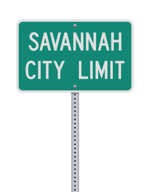
Vector illustration of the Savannah City Limit green road sign

Bonaventure Cemetery, east of Savannah, U.S. state of Georgia.Published in Picturesque America or the Land We Live In (D. Appleton & Co., New York, 1872).

United States, Savannah winter holidays skyline. Merry Christmas, Happy New Year decorated banner with Santa Claus.Flat, outline vector.United States, Savannah linear christmas city illustration

Large and detailed map of Chatham county in Georgia, USA.


Topographic / Road map of Savannah, GA. Map data is public domain via census.gov. All maps are layered and easy to edit. Roads are editable stroke.

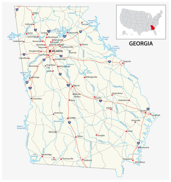
A vintage-style map of Georgia with freeways, highways and major cities. Shoreline, lakes and rivers are very detailed. Includes an EPS and JPG of the map without roads and cities. Texture, compass, cities, etc. are on separate layers for easy removal or changes.


Abstract hand painted seamless animal background.Isolated pink Flamingo birds with palm leaves. Vector illustration.

City of Savannah, Georgia postal rubber stamp, vector object over white background

Vintage engraving of a View in the park, Savannah, Georgia, 19th Century

Very Rare, Beautifully Illustrated Antique Engraving of Old Historical Homes in Savannah, Georgia, United States, American Victorian Engraving, 1872. Source: Original edition from my own archives. Copyright has expired on this artwork. Digitally restored.


Topographic / Road map of Savannah, GA. Map data is public domain via census.gov. All maps are layered and easy to edit. Roads are editable stroke.
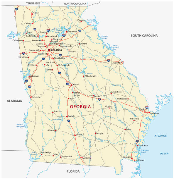
georgia road vector map


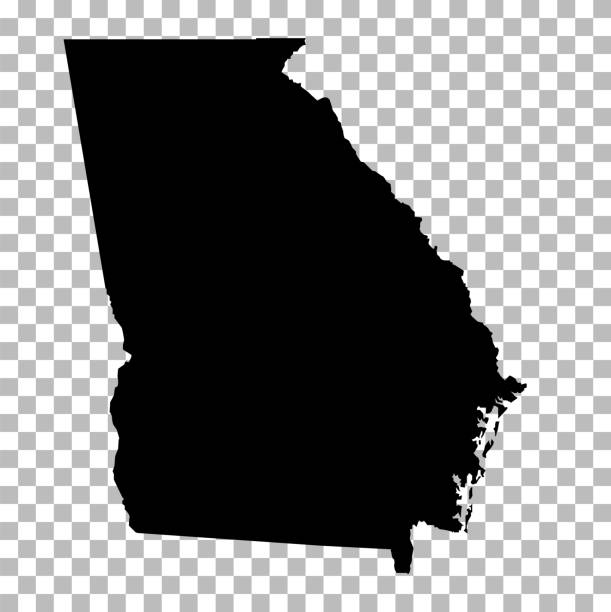
Vector abstract hatched map of State of Georgia with oblique lines isolated on a white background. Travel vector illustration.

Vintage engraving of a plan of the Siege of Savannah or the Second Battle of Savannah was an encounter of the American Revolutionary War (1775-1783), in 1779.

Engraving From 1863 Showing Savannah, Tybee Island, And Fort Pulaski During The Civil War.

Wood engraving of the Savannah River, Georgia, USA. Illustration published in Picturesque America (D. Appleton & Co., New York, 1872).

Map of Georgia USA federal state with flag inside. Highly detailed map of Southeastern American state with territory borders and national flag realistic vector illustration

Very Rare, Beautifully Illustrated Antique Engraving of Old Historical Homes in Savannah, Georgia, United States, American Victorian Engraving, 1872. Source: Original edition from my own archives. Copyright has expired on this artwork. Digitally restored.


Topographic / Road map of Savannah, GA. Map data is public domain via census.gov. All maps are layered and easy to edit. Roads are editable stroke.

The cheerful elephant. The silhouette of the elephant collected from various elements of a flower ornament.
Next