
Syracuse New York stock illustrations
Browse 90+ syracuse new york stock illustrations and vector graphics available royalty-free, or search for syracuse new york skyline or downtown syracuse new york to find more great stock images and vector art.


Syracuse NY City Vector Road Map Blue Text. All source data is in the public domain. U.S. Census Bureau Census Tiger. Used Layers: areawater, linearwater, roads.


Stamp or tag with text Welcome to Syracuse, New York, vector illustration

Topographic / Road map of Syracuse, NY. Map data is public domain via census.gov. All maps are layered and easy to edit. Roads are editable stroke.
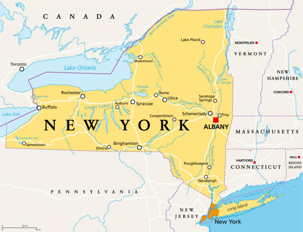
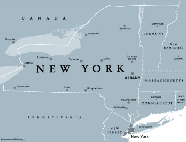
New York State (NYS), political map, with capital Albany, borders, important cities, rivers and lakes. State in the Northeastern United States of America. English labeling. Illustration. Vector.

A vintage-style map of New York state with freeways, highways and major cities. Shoreline, lakes and rivers are very detailed. Includes an EPS and JPG of the map without roads and cities.
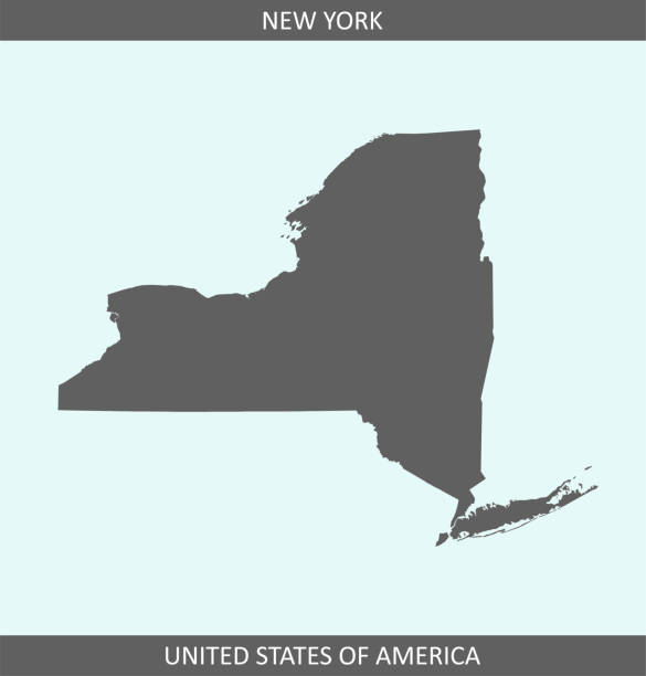
Accurate outline vector map in gray background prepared by a map expert.

"Highly detailed vector map of New York State, United States. File was created on January 24, 2012. The colors in the .eps-file are ready for print (CMYK). Included files: EPS (v8) and Hi-Res JPG."
Set of buildings flat and line icons.
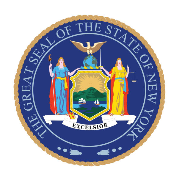
Vector of New York seal flag.

Syracuse USA City Map in Black and White Color in Retro Style. Outline Map. Vector Illustration.


New York State (NYS), gray political map, with capital Albany, borders and important cities. State in Northeastern United States of America. English labeling. Illustration on white background. Vector.

Vector Illustration of a Road Map of New York State State, USA. All source data is in the public domain. U.S. Geological Survey, US Topo Used Layers: USGS The National Map: National Hydrography Dataset (NHD) USGS The National Map: National Transportation Dataset (NTD)

Vector illustration of the City of Syracuse green road sign

United States, New York Rochester travel landmarks, vector city tourism illustration
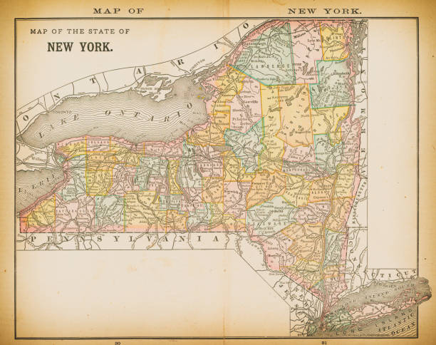
19th century map of New York. Published in New Dollar Atlas of the United States and Dominion of Canada. (Rand McNally & Co's, Chicago, 1884).

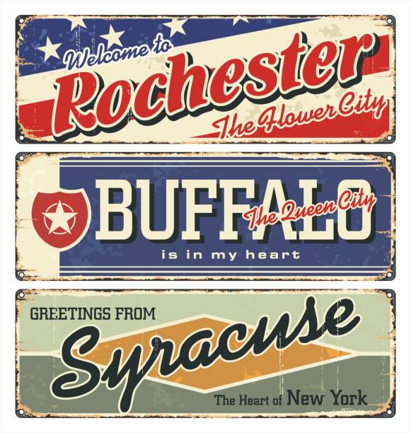
Vintage city label. Vintage tin sign collection with US cities. Long Beach. Syracuse. Niagara Falls. Retro souvenirs or postcard templates on rust background.

Vector Illustration of a City Street Map of Syracuse, New York, USA. Scale 1:60,000. All source data is in the public domain. U.S. Geological Survey, US Topo Used Layers: USGS The National Map: National Hydrography Dataset (NHD) USGS The National Map: National Transportation Dataset (NTD)

Syracuse USA City Map in Retro Style. Outline Map. Vector Illustration.

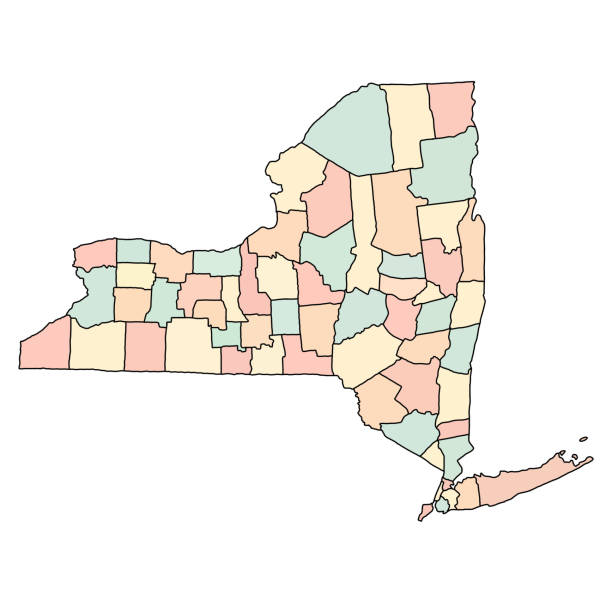
"Detailed vector map of New York State with administrative divisions. File was created on October 29, 2012. The colors in the .eps-file are ready for print (CMYK). Included files: EPS (v8) and Hi-Res JPG (5600aa aaa 4577 px)."

From First Century of National Existence; The United States - 1873

United States, New York Rochester city isolated skyline vector illustration, travel landmark


Syracuse City, New York (United States cities, United States of America, usa city) map vector illustration, scribble sketch City of Syracuse map

New york administrative and political vector map with flag

Finger Lakes region in New York State, in the United States, political map, with most important cities. Group of eleven long, narrow, roughly south-north lakes, located directly south of Lake Ontario.

Vintage engraving of a Map of Ancient Sicily and Southern Italy

New york administrative and political vector map with flag
United States, New York Buffalo city isolated skyline vector illustration, travel landmark


Printable map of New York state of United States of America. The map is accurately prepared by a map expert.


NY Onondaga Vector Map Green. All source data is in the public domain. U.S. Census Bureau Census Tiger. Used Layers: areawater, linearwater, cousub, pointlm.


new york state administrative and political vector map

minimal flat vector design of New York state with city cutouts


Map of Onondaga County - New York, with a realistic paper cut effect isolated on white background. Trendy paper cutout effect. Vector Illustration (EPS file, well layered and grouped). Easy to edit, manipulate, resize or colorize. Vector and Jpeg file of different sizes.


Highly detailed map of United States of America with highlighted state of New York for educational purposes. The map is accurately prepared by a map expert.

Highly detailed map of United States of America with highlighted state of New York for educational purposes. The map is accurately prepared by a map expert.

Map of Onondaga County - New York, for your own design. Four maps with editable stroke included in the bundle: - One black map on a white background. - One blank map on a black background. - One white map with shadow on a blank background (for easy change background or texture). - One line map with only a thin black outline (in a line art style). The layers are named to facilitate your customization. Vector Illustration (EPS file, well layered and grouped). Easy to edit, manipulate, resize or colorize. Vector and Jpeg file of different sizes.


Printable outline vector map of New York state of United States of America. The map is accurately prepared by a map expert.

New York city map silhouette of Syracuse on white background

Accurate outline vector map in gray background prepared by a map expert.


Next