Washington Dc Map Illustrations stock illustrations
Browse 8,800+ washington dc map illustrations stock illustrations and vector graphics available royalty-free, or start a new search to explore more great stock images and vector art.
Most popular
Vector illustration
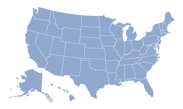
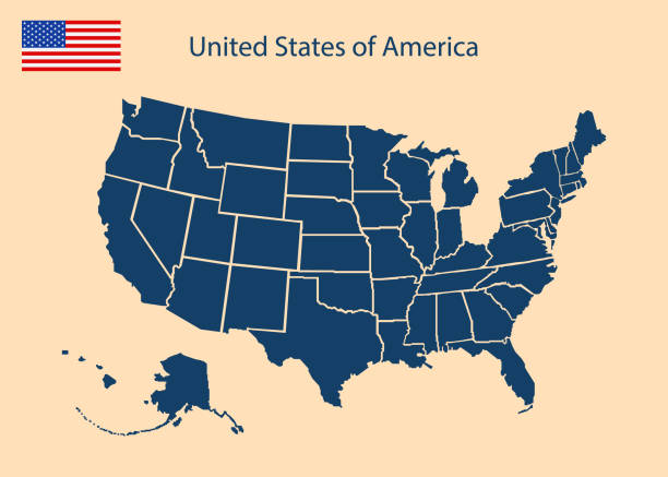
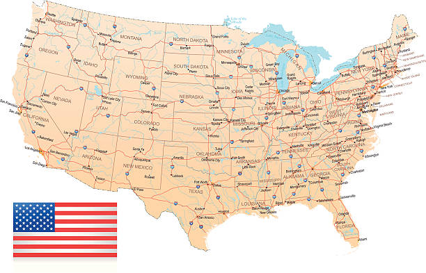
United States Of America map with state divisions an a transparent base. Includes Alaska and Hawaii. Flat color for easy editing. File was created in CMYK
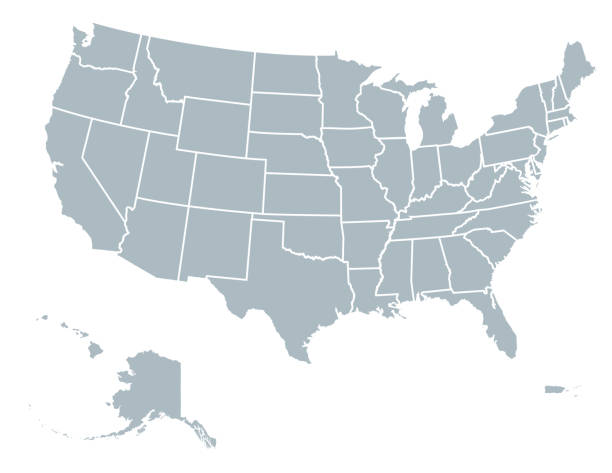
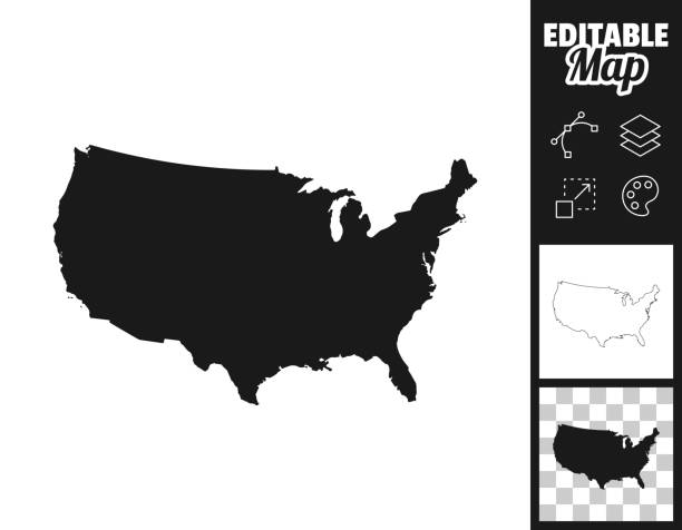
A silhouette of the USA, including Alaska and Hawaii. File is built in CMYK for optimal printing and the map is gray.
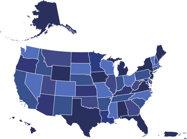
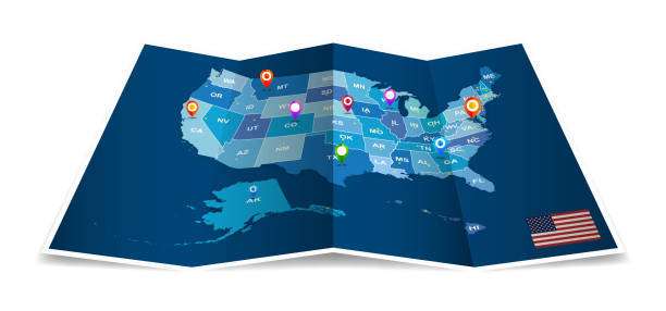
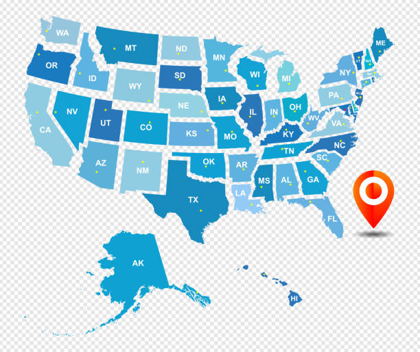
Downloadable blue color gradient map of United States of America. The spatial locations of Hawaii, Alaska and Puerto Rico approximately represent their actual locations on the earth.


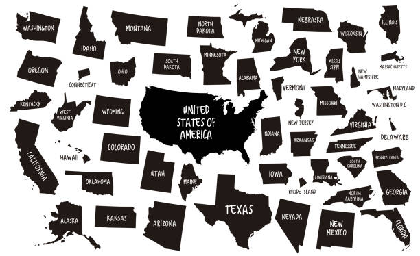
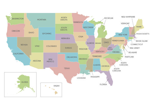
Poster map of United States of America with state names. Print map of USA for t-shirt, poster or geographic themes. Hand-drawn colorful map with states. Vector Illustration
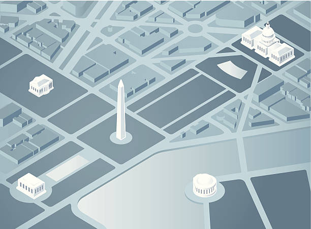
An overhead 3D illustration of Washington DC. Landmarks are on a separate layer in Illustrator.

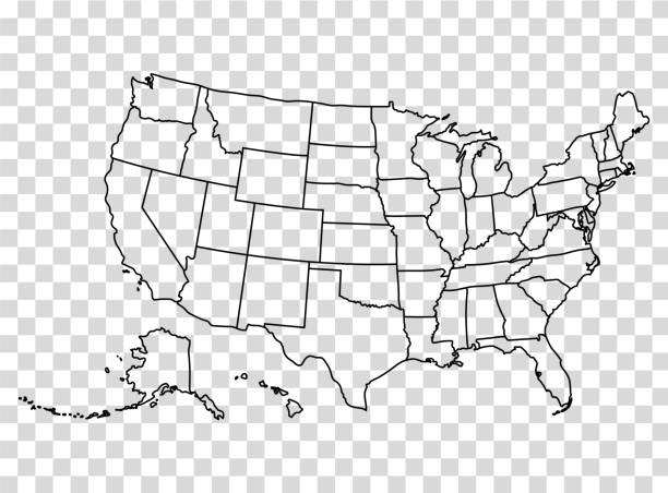
Map of the United States in outline on a transparent background. Vector illustration in HD very easy to make edits.
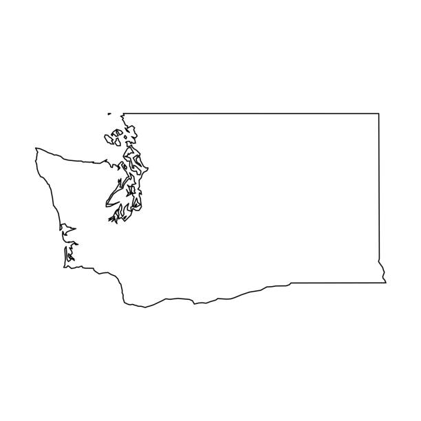
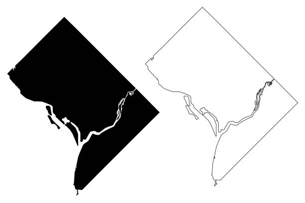
Washington, state of USA - solid black outline map of country area. Simple flat vector illustration.
outline of USA maps

Subway omnichannel metro map. Omni channel tube underground train line map.
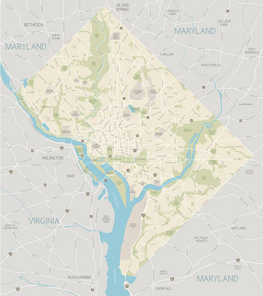
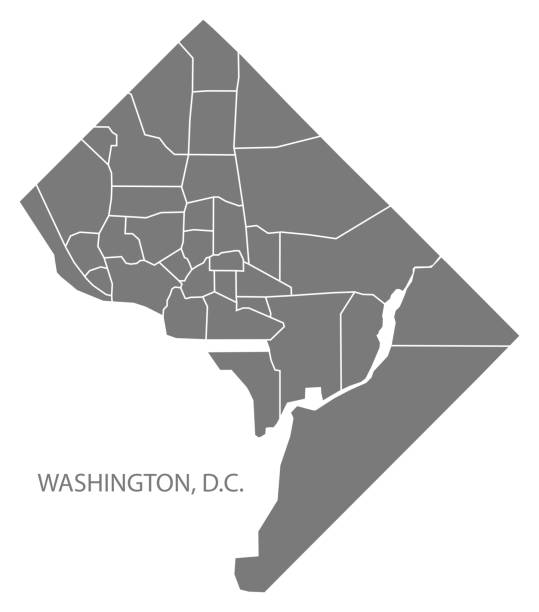
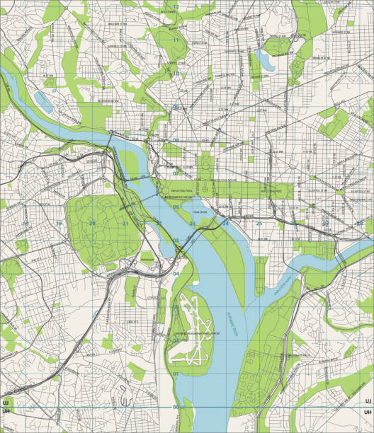
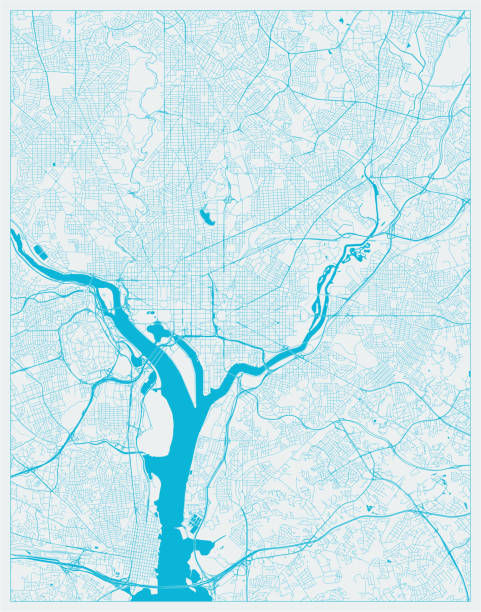
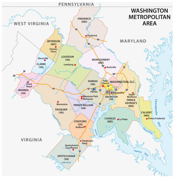
A large map of the District of Columbia area, including main roads, parks, water and points of interest. All elements are on separate layers for easy changes or removal. Includes a CS5 file and an extra-large JPG so that you can crop in to the area you need. Also includes a version of only DC, without the surrounding states.
Map of District of Columbia isolated on white background. Includes 9 buttons with a flat design style for your design, in different colors (red, orange, yellow, green, blue, purple, gray, black, white, line art), each icon is separated on its own layer. Vector Illustration (EPS10, well layered and grouped). Easy to edit, manipulate, resize or colorize. Please do not hesitate to contact me if you have any questions, or need to customise the illustration. http://www.istockphoto.com/portfolio/bgblue
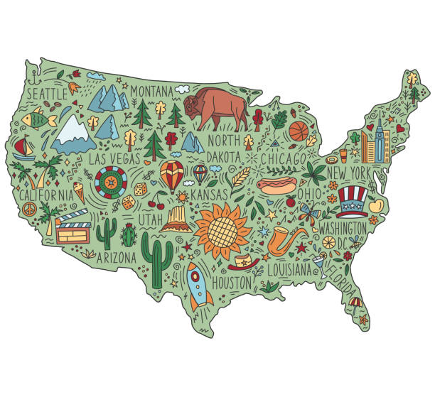
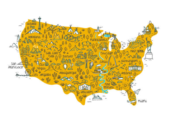
Hand drawn map of the United States. Concept of travel to the United States. Colored vector illustration. American symbols and landmarks on the map.

Vector illustration
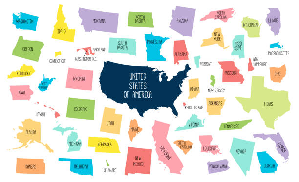
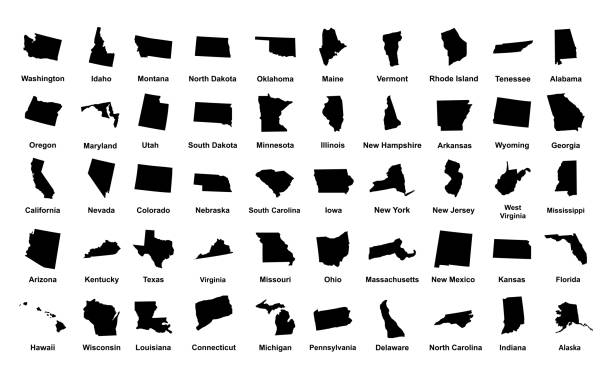
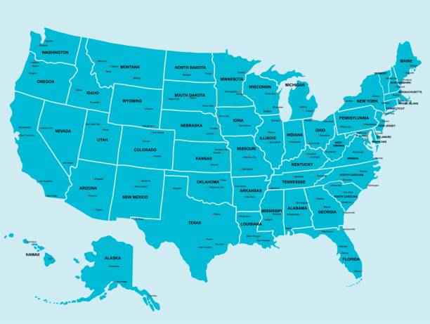
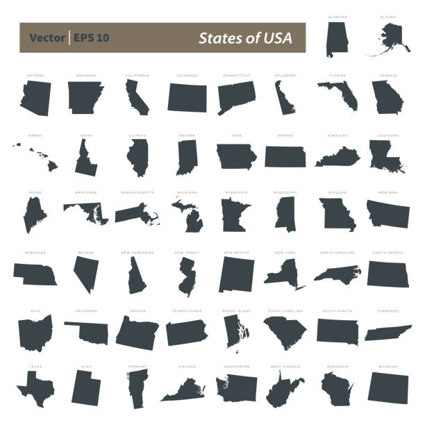
USA map with separated states. Colorful outlines of the 50 states with labels
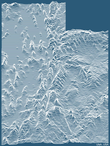
Topographic technical drawing relief map of the Federal State of Utah, USA with white contour lines on blue background
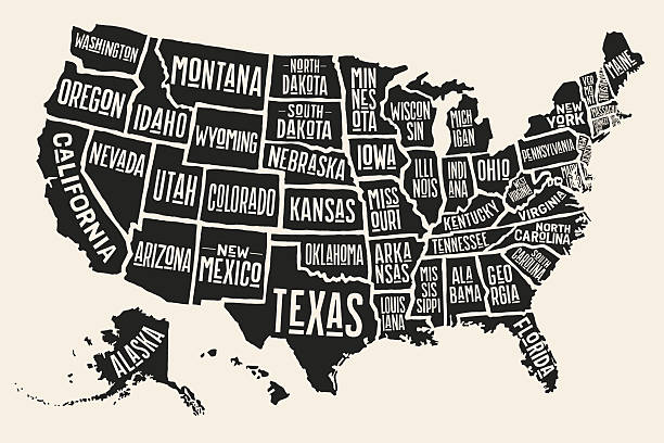
Poster map of United States of America with state names. Black and white print map of USA for t-shirt, poster or geographic themes. Hand-drawn black map with states. Vector Illustration
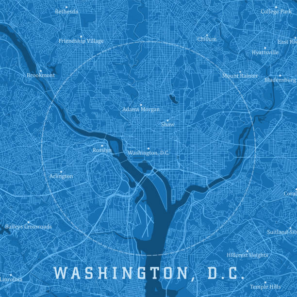
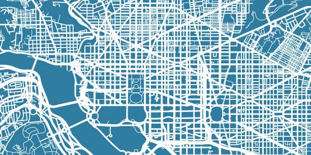
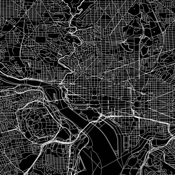
Washington DC City Vector Road Map Blue Text. All source data is in the public domain. U.S. Census Bureau Census Tiger. Used Layers: areawater, linearwater, roads.

Political campaign and voting attributes, patriotic symbols, american flags and maps collection. Vector hand drawn objects isolated on white background.
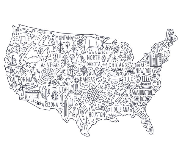
Hand drawn map of the United States. Concept of travel to the United States. Monochrome black and white vector illustartion. American symbols on the map.
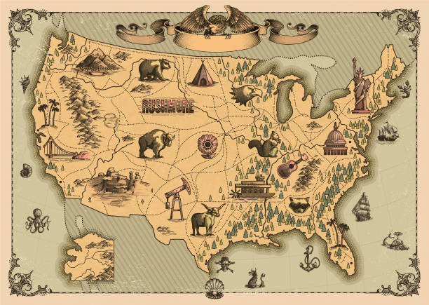
Antique map of The United States of America
One colour map of centre of Washington
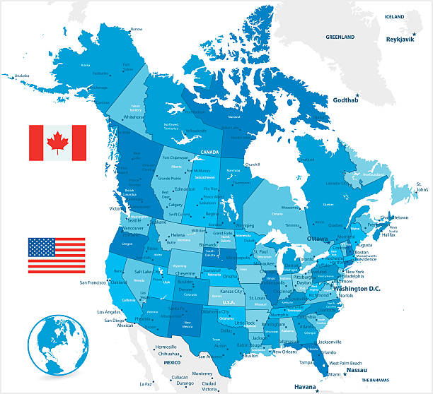
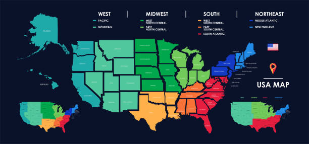
USA and Canada large detailed political map in colors of blue
Washington City ( United States cities, United States of America, usa city) map vector illustration, scribble sketch City of Washington, D.C. (District of Columbia) map
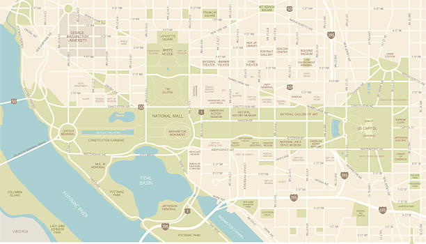
A map of downtown Washington, D.C., including streets, water and points of interest – from museums and memorials to federal buildings. All elements are on separate layers. Includes a CS5 file and an extra-large JPG.
Usa map. Silhouette of united states of america. Simple continent of us. Flat american map with california, hawaii, texas, washington, florida, michigan and other state. Vector.
Map of USA for your own design. Three maps with editable stroke included in the bundle: - One black map on a white background. - One line map with only a thin black outline in a line art style (you can adjust the stroke weight as you want). - One map on a blank transparent background (for change background or texture). The layers are named to facilitate your customization. Vector Illustration (EPS file, well layered and grouped). Easy to edit, manipulate, resize or colorize. Vector and Jpeg file of different sizes.
City map Washington, travel vector poster design detailed plan of the city, rivers and streets
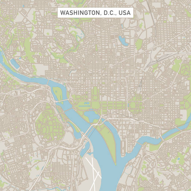
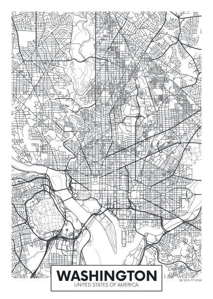
Vector Illustration of a City Street Map of Washington, D.C., USA. Scale 1:60,000. All source data is in the public domain. U.S. Geological Survey, US Topo Used Layers: USGS The National Map: National Hydrography Dataset (NHD) USGS The National Map: National Transportation Dataset (NTD)

Highly detailed map of United States with roads, states, big cities, rivers and some other objects

Topographic / Road map of Kansas City, Missouri, USA. Original map data is open data via © OpenStreetMap contributors. All maps are layered and easy to edit. Roads have editable stroke.
Washington D.C. vector street map. Vector illustration.
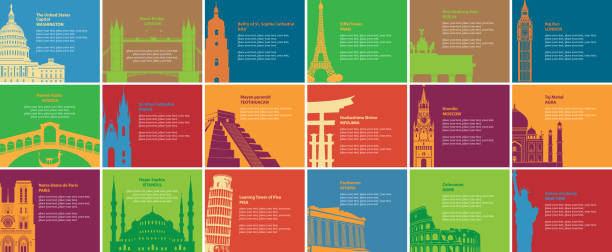
Set of vector banners on the travel theme with different historical sites. Europe, Asia, America. Tourist attractions of the different countries. Bright cards with famous landmarks in flat style

3D map of USA isolated on a blank and gray background, with a dropshadow. Vector Illustration (EPS10, well layered and grouped). Easy to edit, manipulate, resize or colorize.

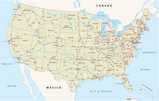
Road vector map of the united states of america

Vector Illustration

Ouline vector map of United States with states borders and names in gray color background, and capital location and name, Washington, D.C.
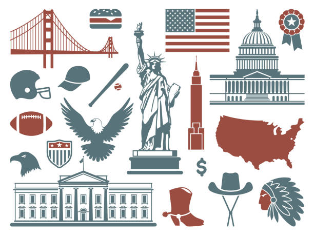
Traditional symbols of architecture and culture of the USA

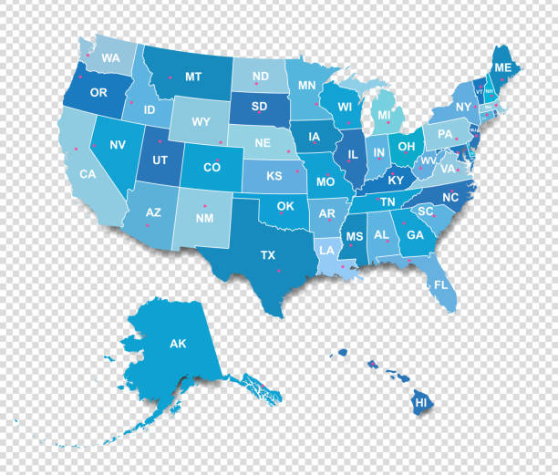
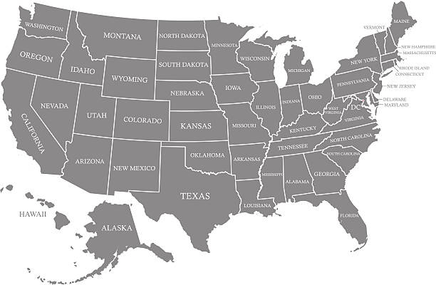
United States of America, multi colored political map. 50 states with own geographic territory, constituent entities, bound together in a union and a federal government. English. Illustration. Vector.
Building thin line icons. Public, government, education and personal houses. Modern linear vector design elements of various places for maps, web interface and mobile services. Isolated on white background.
Geographical/Road map of DC. Original map data is public domain sourced from www.census.gov/
High detailed vector map of USA with borders, states and cities. Illustration contains USA national flag and navigational icons
Next