Baton Rouge Pictures, Images and Stock Photos
Browse 2,200+ baton rouge stock photos and images available, or search for baton rouge skyline or louisiana to find more great stock photos and pictures.
baton rouge skyline
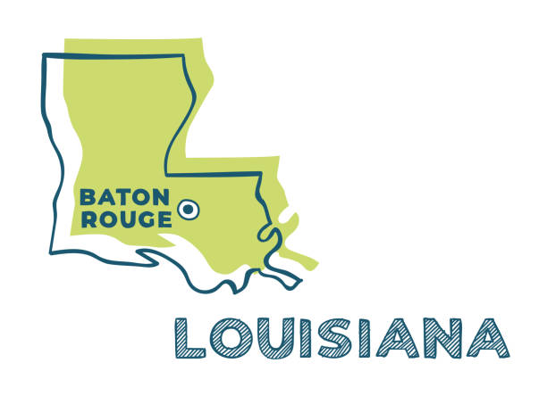
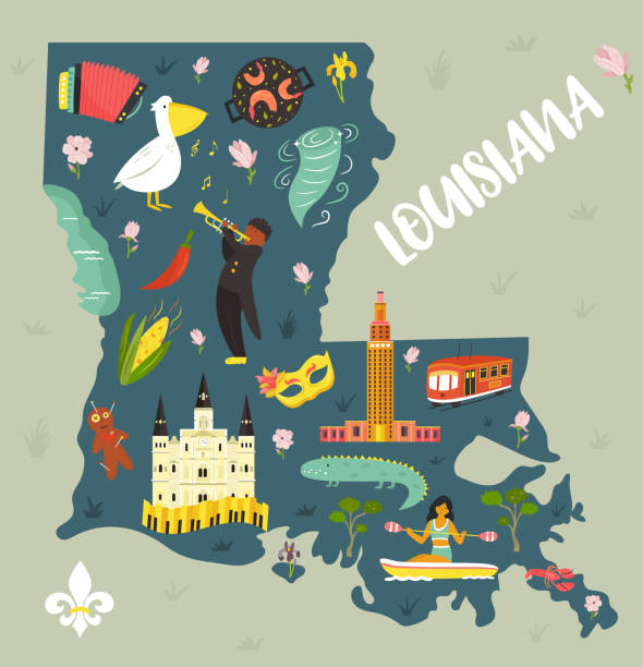
louisiana
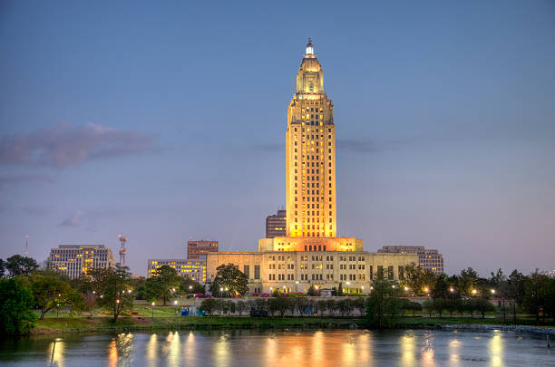
louisiana state capitol
new orleans
baton rouge louisiana
baton rouge la
baton rouge fishing
baton rouge map
baton rouge capitol
downtown baton rouge
baton rouge state capitol
baton rouge capital
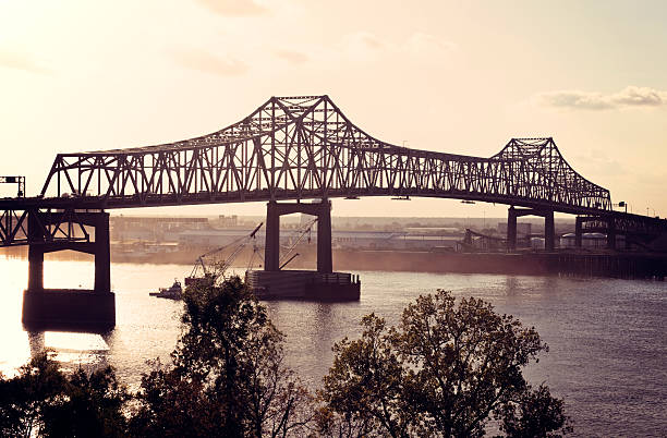
baton rouge bridge
port of baton rouge
baton rouge streets
baton rouge people
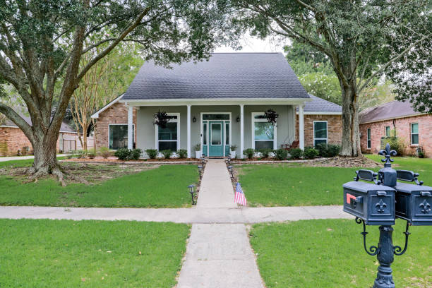
baton rouge home
baton rouge christmas
baton rouge zoo
baton rouge mississippi
vintage baton rouge
baton rouge skyline vector
baton rouge river
baton rouge plantation
baton rouge oil
baton rouge kingfish
baton rouge homes
baton rouge city
mississippi river baton rouge
baton rouge vector
Most popular
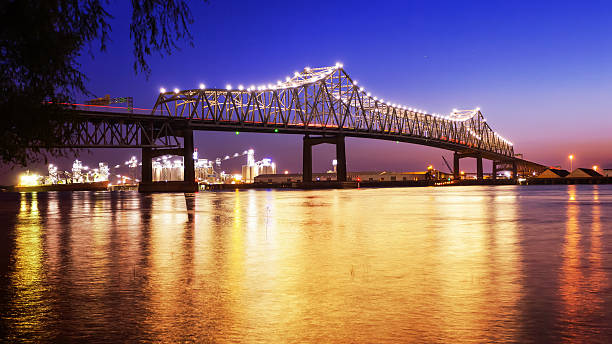
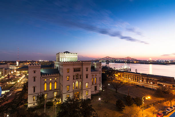
Horace Wilkinson Bridge crosses over the Mississippi River at night in Baton Rouge, Louisiana
Night view of Baton Rouge and The Mississipi River
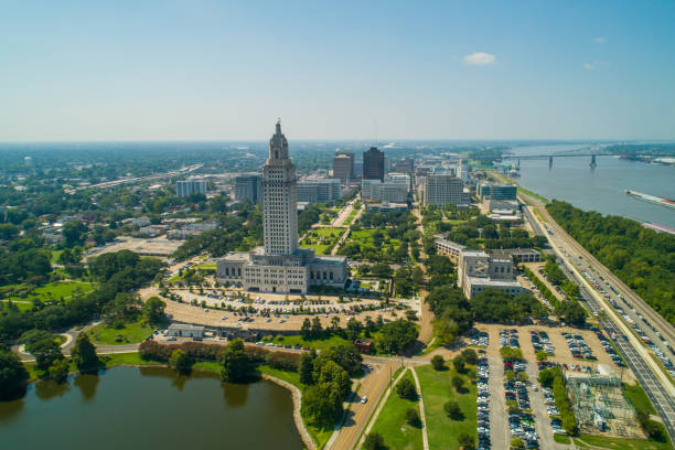
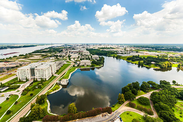
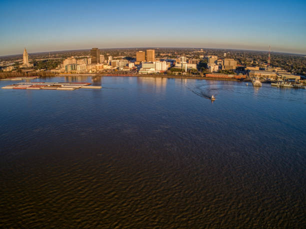
Aerial view of Baton Rouge, Louisiana and the Mississippi River
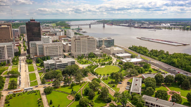
Aerial view of Louisiana state capitol and downtown Baton Rouge, Louisiana on a Fall morning. Authorization was obtained from the FAA for this operation in restricted airspace.
Aerial image of Downtown Baton Rouge by the Mississippi River
An aerial view of downtown Baton Rouge from the State Capitol building, looking towards the Mississippi bridge and river.
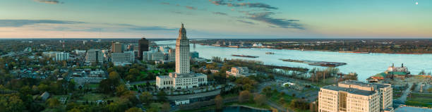
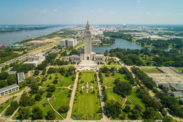
Panoramic drone shot of Baton Rouge, Louisiana at sunrise, including the Mississippi River, the State Capitol Building and downtown office buildings.
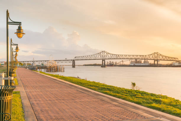
Walking path along the Mississippi River in Baton Rouge, Louisiana
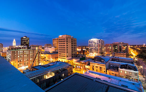
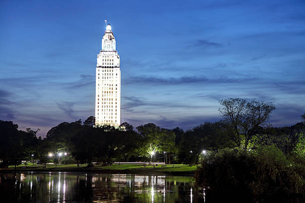
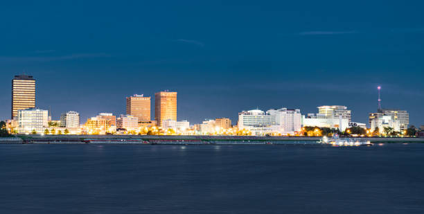
Night view of Baton Rouge, LA
Baton Rouge, Louisiana, USA skyline from Louisiana State Capitol.
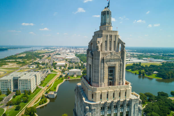
Aerial closeup of the Louisiana State Capitol Building and welcome center in Baton Rouge

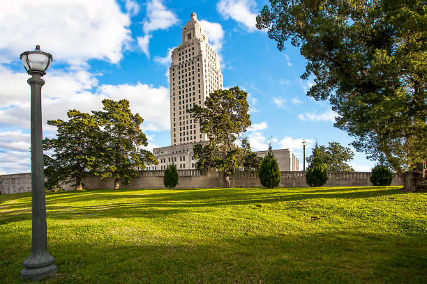
Louisiana State Capitol is the seat of government for the U.S. state of Louisiana and is located in downtown Baton Rouge. Baton Rouge is the second largest city in louisiana located on the banks of the Mississippi River. Baton Rouge is known for its Southern lifestyle, historic sites, bar and restaurant environment
Panorama of Baton Rouge, capital of Louisiana, USA. View from Mississippi
Old State Capitol in Baton Rouge, Louisiana

Baton Rouge LA City Vector Road Map Blue Text. All source data is in the public domain. U.S. Census Bureau Census Tiger. Used Layers: areawater, linearwater, roads.

Louisiana State Capitol reflection on a small pond during the day. Louisiana State Capitol is located in downtown Baton Rouge. Baton Rouge is the second largest city in louisiana located on the banks of the Mississippi River. Baton Rouge is known for its Southern lifestyle, historic sites, bar and restaurant environment
aerial of baton Rouge with Missisippi river and oil refineries at the horizon
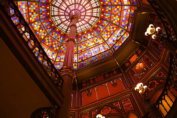
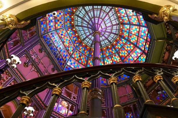
This photo was taken in old louisiana state capitol, baton rouge louisiana
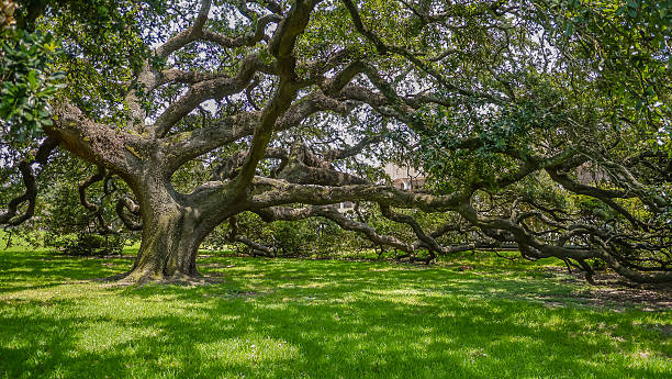
Oak tree in southern Louisiana
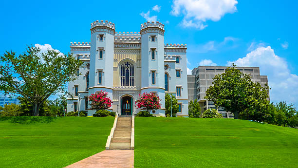
The Louisiana Old State Capitol building and front lawn in Baton Rouge, Louisiana.
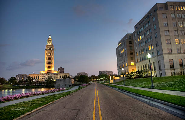
Road leading to the Louisiana State Capitol building in located in Baton Rouge. Baton Rouge is the second largest city in louisiana located on the banks of the Mississippi River. Baton Rouge is known for its Southern lifestyle, historic sites, bar and restaurant environment
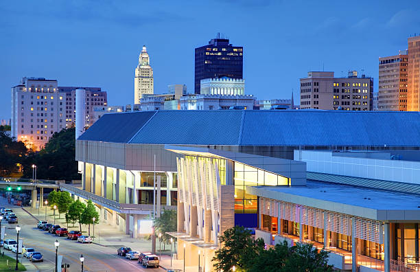
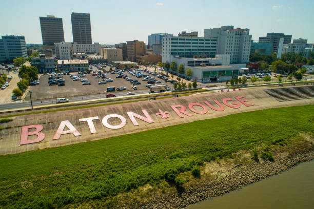
Downtown Baton Rouge, Louisiana
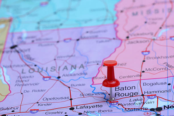
Photo of pinned Baton Rouge on a map of USA. May be used as illustration for traveling theme.

Baton Rouge, LA - 08.04.2021 - Louisiana State University Football and Basketball Stadium Area
A front view of an Acadian renovated home with columns, sidewalks and a colorful front door recently purchased with the changing real estate market.

Louisiana State Capitol Building in Downtown Baton Rouge
Louisiana State Capitol along the banks of a small pond. Louisiana State Capitol is located in downtown Baton Rouge. Baton Rouge is the second largest city in louisiana located on the banks of the Mississippi River. Baton Rouge is known for its Southern lifestyle, historic sites, bar and restaurant environment

Aerial of Downtown Baton Rouge, including a skyline view of Downtown and the Mississippi River.

Mississippi view at night from Baton Rouge

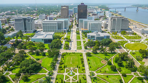
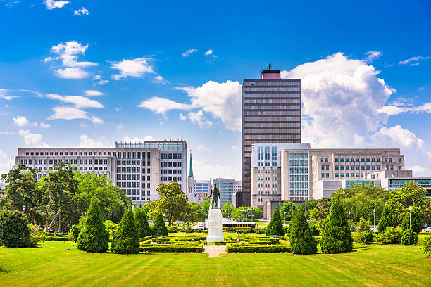
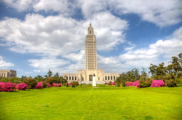
SPRINGTIME LAWN AND GROUNDS AT LOUISIANA STATE CAPITOL, BATON ROUGE
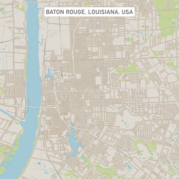
Vector Illustration of a City Street Map of Baton Rouge, Louisiana, USA. Scale 1:60,000. All source data is in the public domain. U.S. Geological Survey, US Topo Used Layers: USGS The National Map: National Hydrography Dataset (NHD) USGS The National Map: National Transportation Dataset (NTD)

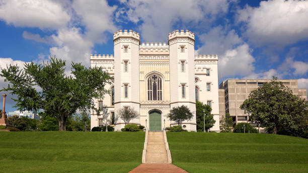
The old state capitol building in the city of Baton Rouge, Louisiana
Louisiana State Capitol is the seat of government for the U.S. state of Louisiana and is located in downtown Baton Rouge. Baton Rouge is the second largest city in louisiana located on the banks of the Mississippi River. Baton Rouge is known for its Southern lifestyle, historic sites, bar and restaurant environment
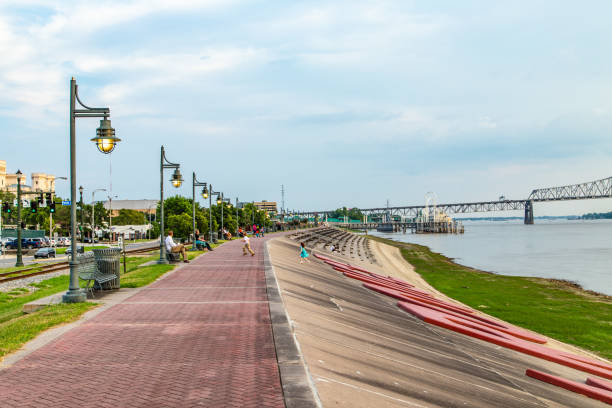
Baton Rouge, USA - July 13, 2013: people enjoy sitting at Mississippi promenade in Baton Rouge in the afternoon.
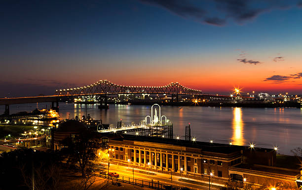
Night Skyline of Baton Rouge, Louisiana across the Mississippi River
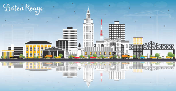
Baton Rouge Louisiana City Skyline with Color Buildings, Blue Sky and Reflections. Vector Illustration. Business Travel and Tourism Concept with Modern Architecture. Baton Rouge USA Cityscape with Landmarks.

Panoramic Baton Rouge - seen late afternoon


A horizontal composition of the area around Capitol at the State Capital Building Baton Rouge Louisiana
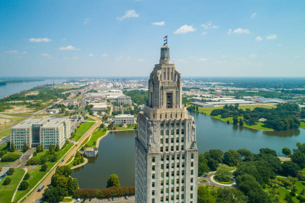
Aerial closeup of the Louisiana State Capitol Building and welcome center in Baton Rouge
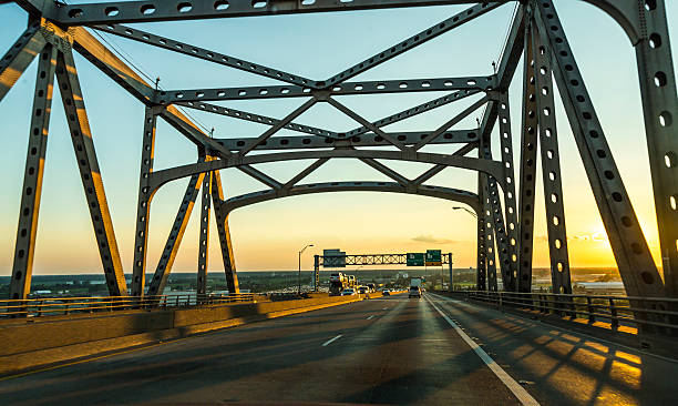
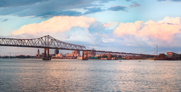
view of the Baton Rouge bridge on Interstate Ten over the Mississippi River in Louisiana.

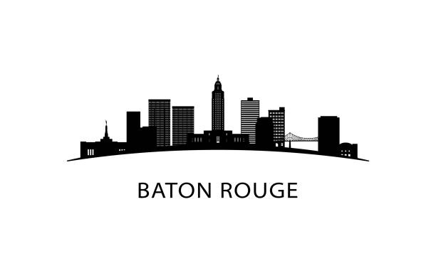
Baton Rouge Louisiana City Skyline Silhouette with Golden Buildings Isolated on White. Vector Illustration. Tourism Concept with Modern Architecture. Baton Rouge USA Cityscape with Landmarks.
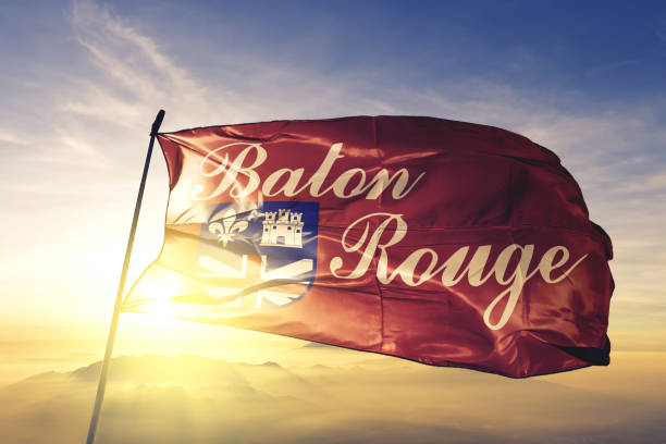
Baton Rouge city capital of Louisiana of United States flag on flagpole textile cloth fabric waving on the top sunrise mist fog
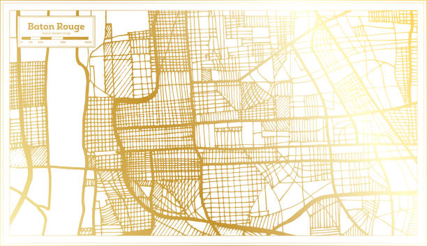
Baton Rouge Louisiana USA City Map in Retro Style in Golden Color. Outline Map. Vector Illustration.
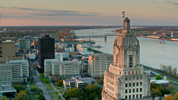
An aerial view of Baton Rouge, the Capitol of the American State of Louisiana at sunset

Baton Rouge Louisiana city skyline vector silhouette illustration


Topographic / Road map of Baton Rouge, Louisiana. Map data is public domain via census.gov. All maps are layered and easy to edit. Roads are editable stroke.

Panoramic drone shot of of the Louisiana State Capitol and downtown Baton Rouge, Louisiana at in pre-dawn twilight. Authorization was obtained from the FAA for this operation in restricted airspace.

Road leading to the Louisiana State Capitol building in located in Baton Rouge. Baton Rouge is the second largest city in louisiana located on the banks of the Mississippi River. Baton Rouge is known for its Southern lifestyle, historic sites, bar and restaurant environment
Next