Bay Of Bengal Pictures, Images and Stock Photos
Browse 3,500+ bay of bengal stock photos and images available, or search for bay of bengal map or bay of bengal fishing to find more great stock photos and pictures.
Most popular
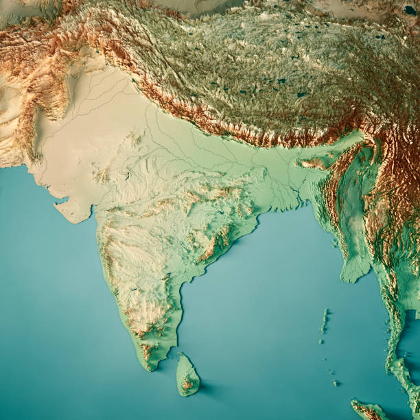
3D Render of a Topographic Map of India. All source data is in the public domain. Color texture and Rivers: Made with Natural Earth. http://www.naturalearthdata.com/downloads/10m-raster-data/10m-cross-blend-hypso/ http://www.naturalearthdata.com/downloads/10m-physical-vectors/ Relief texture: SRTM data courtesy of USGS. URL of source image: https://e4ftl01.cr.usgs.gov//MODV6_Dal_D/SRTM/SRTMGL1.003/2000.02.11/ Water texture: HIU World Water Body Limits: http://geonode.state.gov/layers/?limit=100&offset=0&title__icontains=World%20Water%20Body%20Limits%20Detailed%202017Mar30
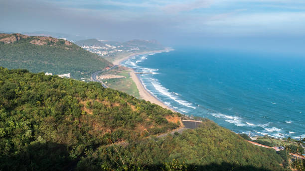
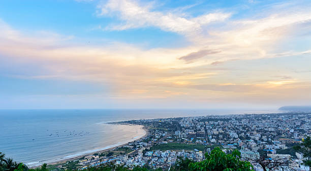
Arial View of Visakhapatnam/ Vizag city from Titanic viewpoint at Kailasagiri.
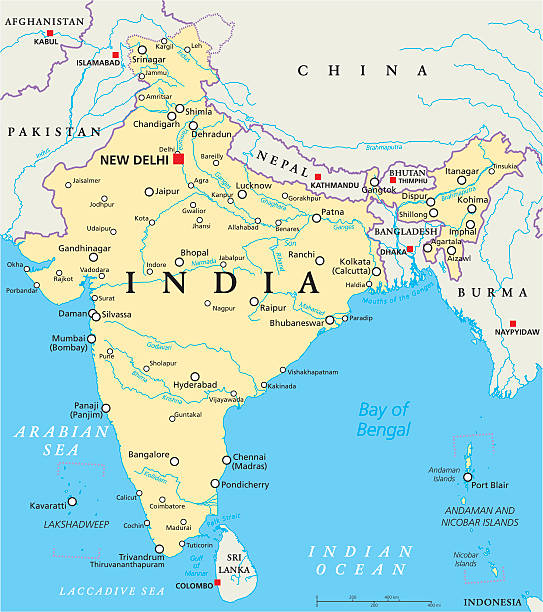
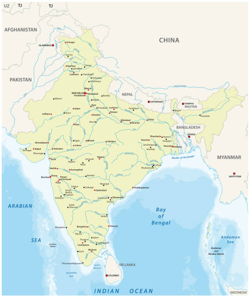
India political map with capital New Delhi, national borders, important cities, rivers and lakes. English labeling and scaling. Illustration.
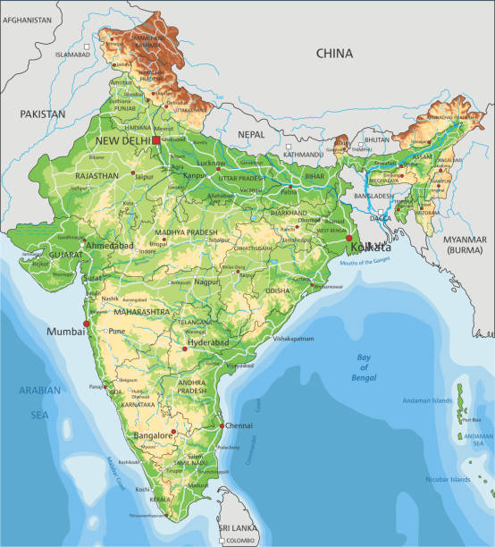
High detailed India physical map with labeling. Organized vector illustration on seprated layers.
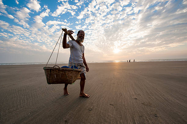
"Cox's Bazar, Bangladesh - February 10, 2013: A man is carrying seafood in barrel on shoulder walking on the beach of Cox's Bazar, Bangladesh."
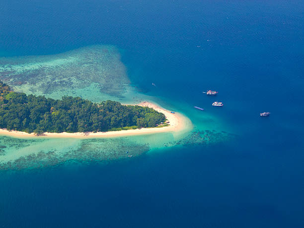
View from plane to Andaman Islands, an archipelago in the Bay of Bengal between India and Myanmar. There are a lot of people on beach.

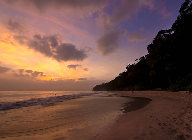
View of Havelock Islands Radhanagar Beach, Andaman archipelago in the Bay of Bengal between India and Myanmar.

3D Render of a Topographic Map of the India and Southeast Asia. All source data is in the public domain. Color texture: Made with Natural Earth. http://www.naturalearthdata.com/downloads/10m-raster-data/10m-cross-blend-hypso/ Relief texture: GMTED 2010 data courtesy of USGS. URL of source image: https://topotools.cr.usgs.gov/gmted_viewer/viewer.htm Water texture: SRTM Water Body SWDB: https://dds.cr.usgs.gov/srtm/version2_1/SWBD/
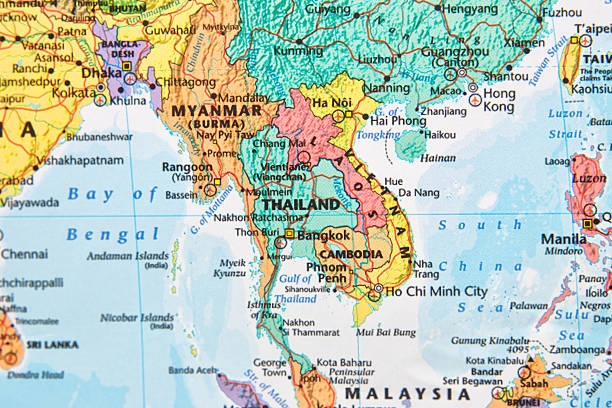
Map with Thailand in focus.
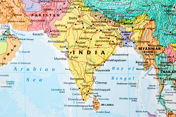
Map with India in focus.

Southeast Asia at night. 3D illustration with detailed planet surface and visible city lights. 3D model of planet created and rendered in Cheetah3D software, 9 Mar 2017. Some layers of planet surface use textures furnished by NASA, Blue Marble collection: http://visibleearth.nasa.gov/view_cat.php?categoryID=1484

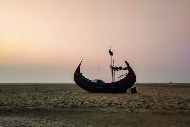
A moon shaped fishing boat on the Cox's Bazaar Sea beach, Bangladesh
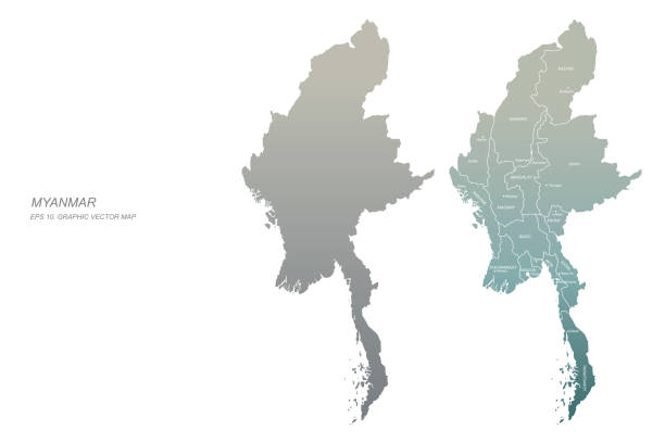
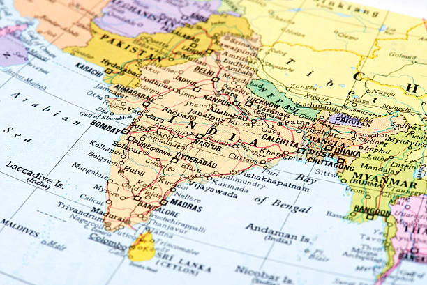
Map of India and surrounding countries

Southeast Asia on 3D model of Earth. 3D illustration with plastic planet surface and ocean floor. 3D model of planet created and rendered in Cheetah3D software, 7 Mar 2017. Some layers of planet surface use textures furnished by NASA, Blue Marble collection: http://visibleearth.nasa.gov/view_cat.php?categoryID=1484
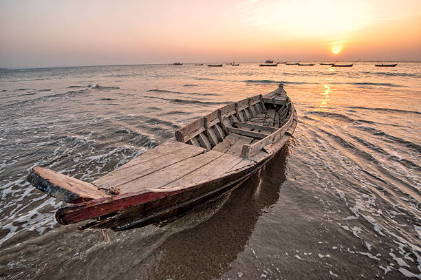
Sunset at the Bay of Bengal with fisher boats
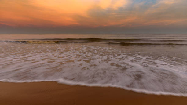
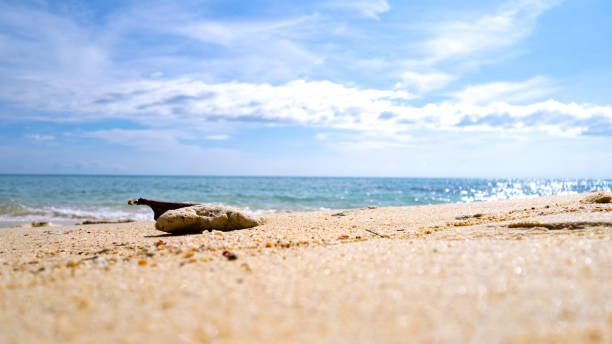
Beautiful Indian sea Beach at the time of Sunset. Slow Shutter is applied.

Men on boats catching fish in the sea on a cloudy day
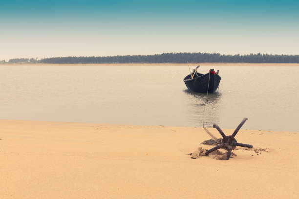
Moody image of a boat on water tied by a rope with an anchor on river bed at Tajpur, West Bengal, India. Minimalistic image.


November 13,2018. Visakhapatnam, India. Top View of Ramakrishna beach overlooking the Dolphin Nose of Vizag city.

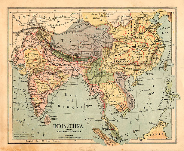
Vintage map of India fron 1837
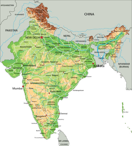
High detailed India physical map with labeling. Organized vector illustration on seprated layers.

3D Render of a Topographic Map of India. All source data is in the public domain. Color texture and Rivers: Made with Natural Earth. http://www.naturalearthdata.com/downloads/10m-raster-data/10m-cross-blend-hypso/ http://www.naturalearthdata.com/downloads/10m-physical-vectors/ Relief texture: SRTM data courtesy of USGS. URL of source image: https://e4ftl01.cr.usgs.gov//MODV6_Dal_D/SRTM/SRTMGL1.003/2000.02.11/ Water texture: HIU World Water Body Limits: http://geonode.state.gov/layers/?limit=100&offset=0&title__icontains=World%20Water%20Body%20Limits%20Detailed%202017Mar30
Gopalpur is a small port on the Bay of Bengal in the eastern state of Odisha. Beach is a famous tourist attraction
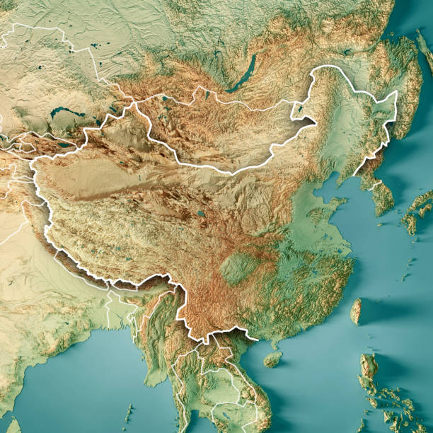
3D Render of a Topographic Map of China. Version with Country Boundaries. All source data is in the public domain. Color texture and lakes: Made with Natural Earth. http://www.naturalearthdata.com/downloads/10m-raster-data/10m-cross-blend-hypso/ https://www.naturalearthdata.com/downloads/10m-physical-vectors/ Relief texture: GMTED2010 data courtesy of USGS. URL of source image: https://topotools.cr.usgs.gov/gmted_viewer/viewer.htm Water texture: HIU World Water Body Limits: http://geonode.state.gov/layers/?limit=100&offset=0&title__icontains=World%20Water%20Body%20Limits%20Detailed%202017Mar30

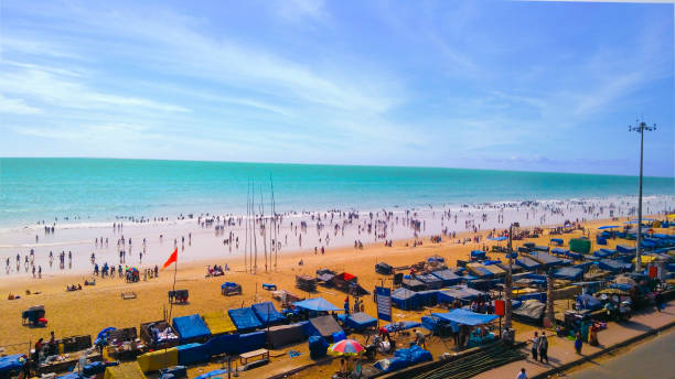
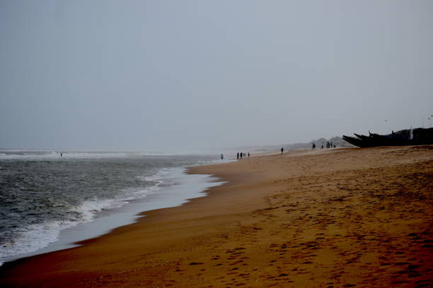
Travelling for fun and tour to the seashore or Beach on the sands by the water line of the sea, India, 2019. Digha, city by the bay of Bengal near Orissa, India, popular beach resort of all seasons.

India region from Earth's orbit in space during sunrise. 3D illustration with highly detailed realistic planet surface. 3D model of planet created and rendered in Cheetah3D software, 8 Mar 2017. Some layers of planet surface use textures furnished by NASA, Blue Marble collection: http://visibleearth.nasa.gov/view_cat.php?categoryID=1484

Color image of an old map of Asia, from 1800's.
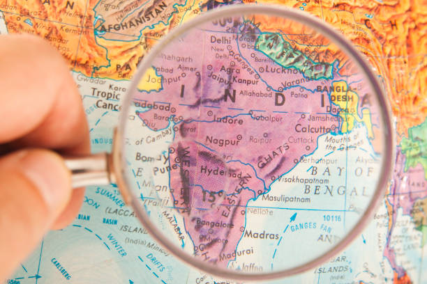
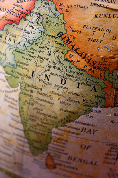
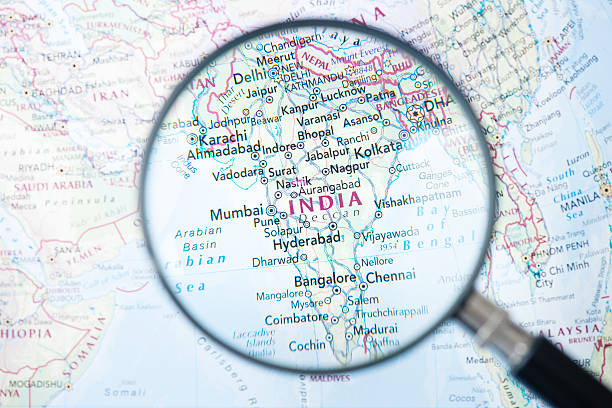
Studying Geography - Photo of India and surrounding countries on retro globe. Under a magnifying glass.

Early morning at Vijaynagar, Beach No 5 on Havelock Island, Andaman archipelago in the Bay of Bengal between India and Myanmar.
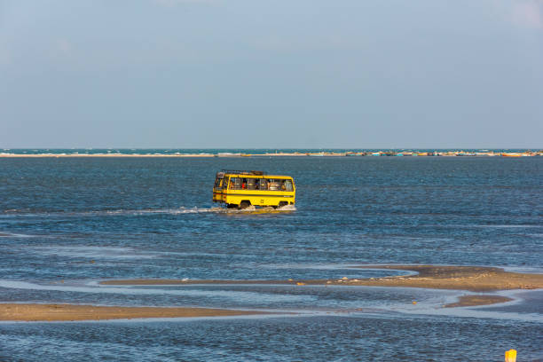
Rameshwaram, Tamil Nadu, India - January 2017: A yellow mini bus crossing shallow waters of the sea to reach the island of Dhanushkodi from Rameshwaram.
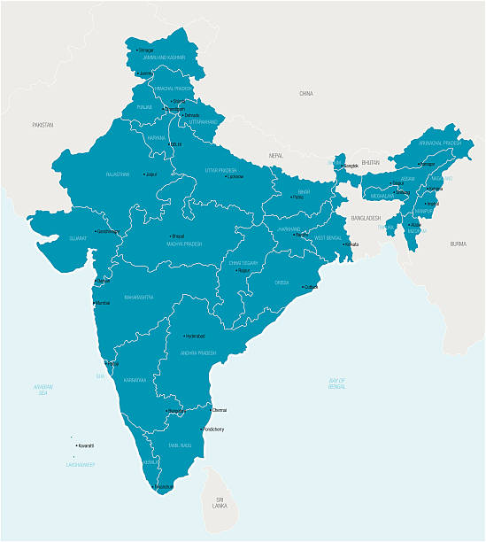
Detailed vector map of India with border states, administrative divisions and main cities.
Kailasagiri is a hilltop park in the city of Vizakhapatnam. It is covered with flora and tropical trees and the hill at 360 feet overlooks beaches, forests and the city of Vizag
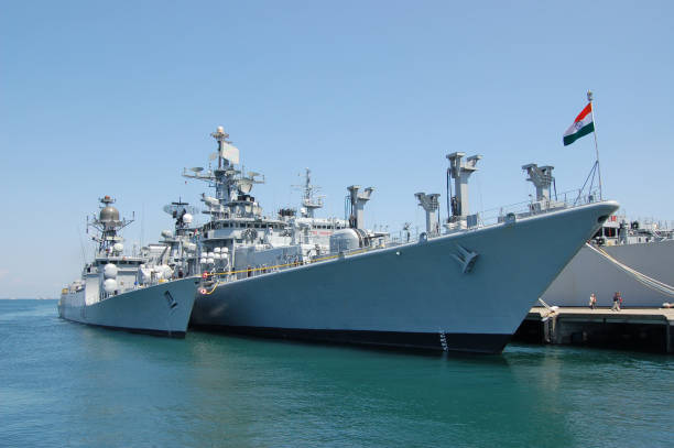
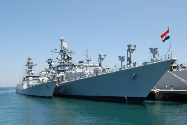
Kanagawa, Japan - April 14, 2007:Indian Navy warships.
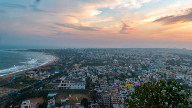
Hilltop View of Visakhapatnam/ Vizag city with moody sky from Kailasagiri park Rope way.
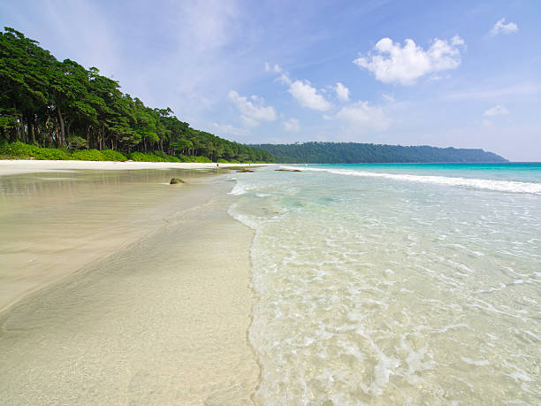
View of Havelock Islands Radhanagar Beach, Andaman archipelago in the Bay of Bengal between India and Myanmar.
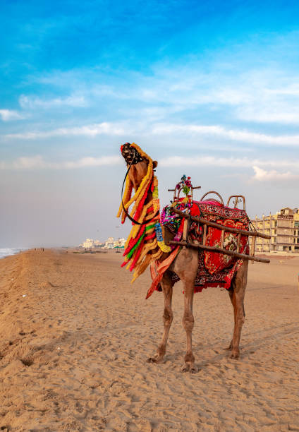
A domestic decorated camel, standing on the Puri sea beach. Camel riding on the beach is a popular tourist activity at Puri. Orissa.

The Thiruvalluvar Statue, or the Valluvar Statue, is a 41-metre-tall stone sculpture of the Tamil poet and philosopher Valluvar, author of the Tirukkural, an ancient Tamil work on Dharmic and morality.

Aerial Point of View of Saint Martins's Island Bangladesh. Isolated Island. Inspirational and motivation background
Map of India. Detail from the World Atlas (Webster's Concise.)
Havelock, India - December 29, 2013: Back light reflecting on the beach. Silhouettes of an Indian family walking on beach in shallow water. In background woman walk in shallow water with horizon and sun setting on the end.
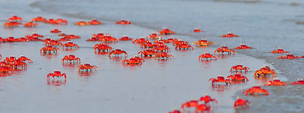
Red crabs are very common on the seashore of the Bay of Bengal, these little crabs from a distance look attractive, and give a feeling that the whole beach is covered with red flowers, this photograph was captured on the sea beach of the Bay of Bengal at Mandarmoni, West Bengal India.
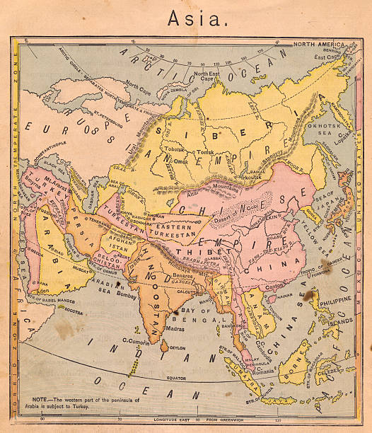
Color image of an old map of Asia, from the 1800's.
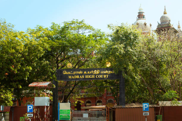
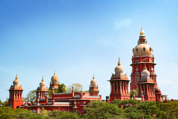
Chennai, tamil nadu, India March 11, 2021, Chennai High Court The ancient High Courts of India Madras High Court, Chennai , India madras , entrance gate name board
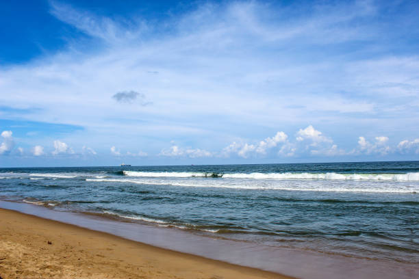
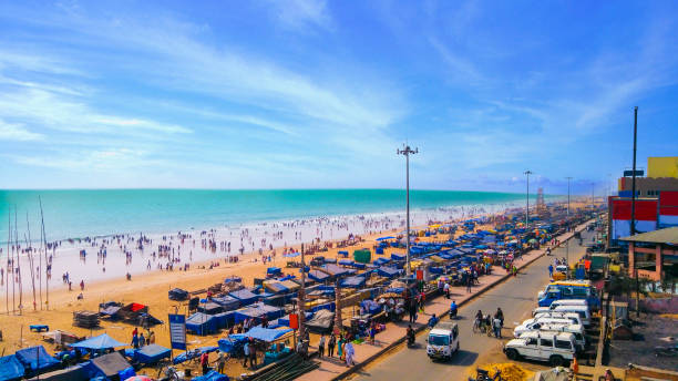
Calm Marina beach seascape in Chennai India

Color image of an old map of the Eastern Hemisphere.
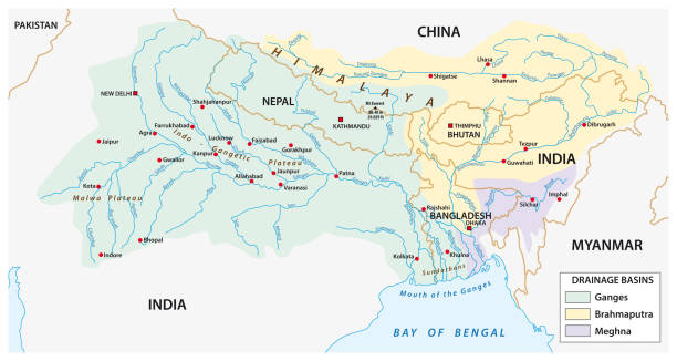
vector Map of the combined catchment areas of the Ganges, Brahmaputra and Meghna rivers
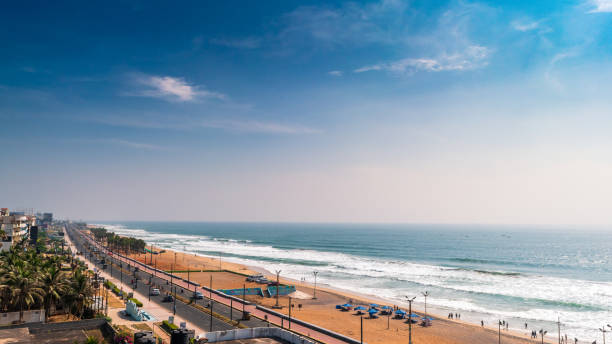
November 13,2018. Visakhapatnam, India. Top View of Ramakrishna beach of Vizag city.
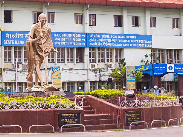
Port Blair, India - December 28, 2013: Roundabout in Port Blair with the monument to Gandhi. In the background is a building with inscriptions: Regional administrative office and Bank and Port Blair.
Next