Belgium Map Pictures, Images and Stock Photos
Browse 9,900+ belgium map stock photos and images available, or search for france and belgium map or belgium map vector to find more great stock photos and pictures.
Most popular
vector map of map of Belgium with high details

Map of Belgium - Vector illustration
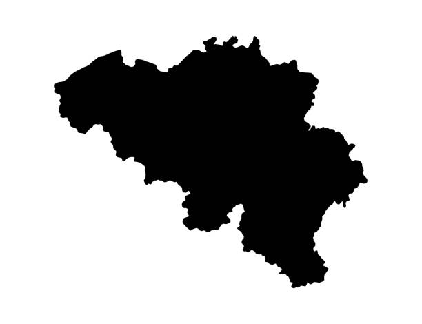
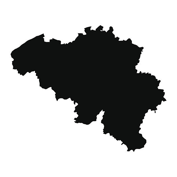
Vector isolated simplified illustration icon with black line silhouette of Belgium . White background

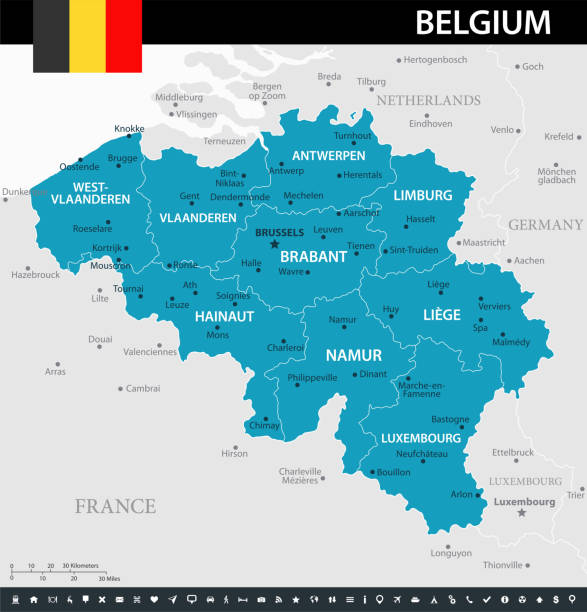
Belgium vector map. Editable template with regions, cities, red pins and blue surface on white background.
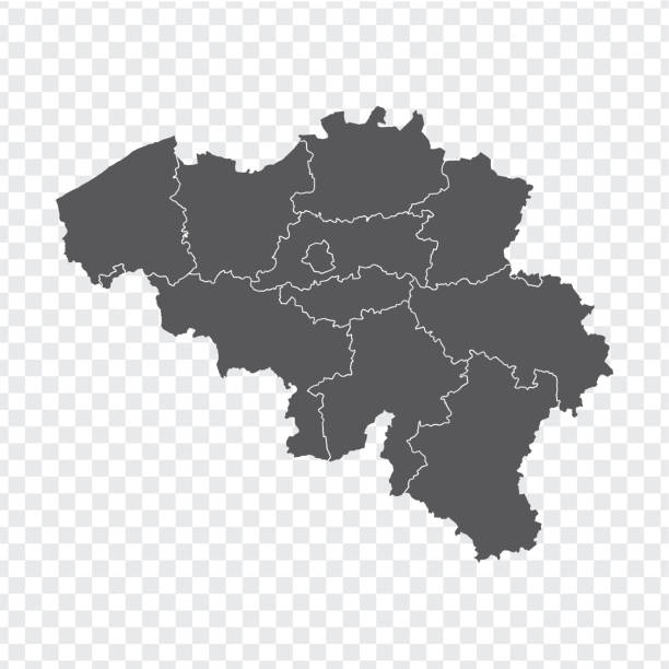
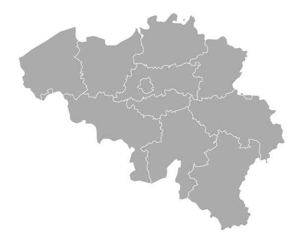
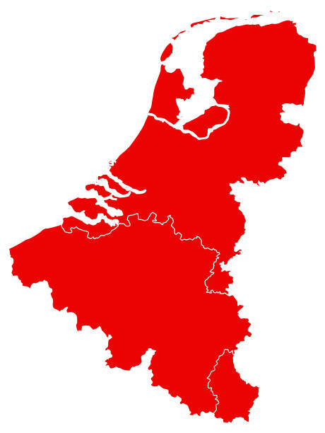
Shape of Belgium and its regions isolated on white background. Large 6000 x 4000 px jpeg. Carefully grouped and labeled in layers panel, easy to select and edit
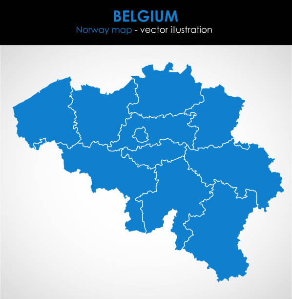
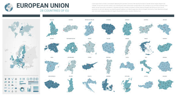
Belguim map made up of the 10 different provinces from the 3 main regions. Individual states included below. Global colours are easily changed.

Map of Belgium, Vector Icon in blue color

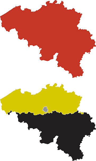
Stylized red sketch map of Belgium illustration vector
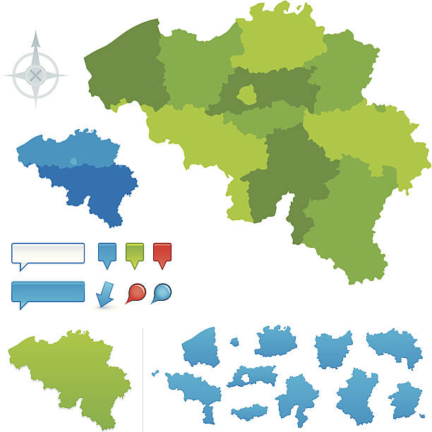
Vector maps of Belgium with variable specification and icons
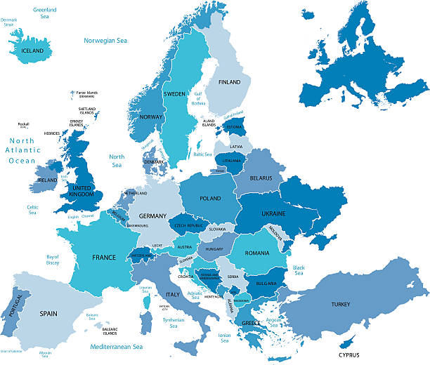
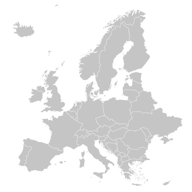
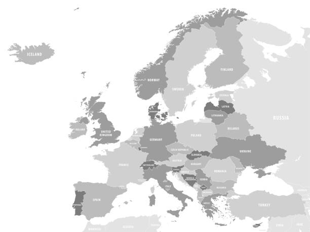
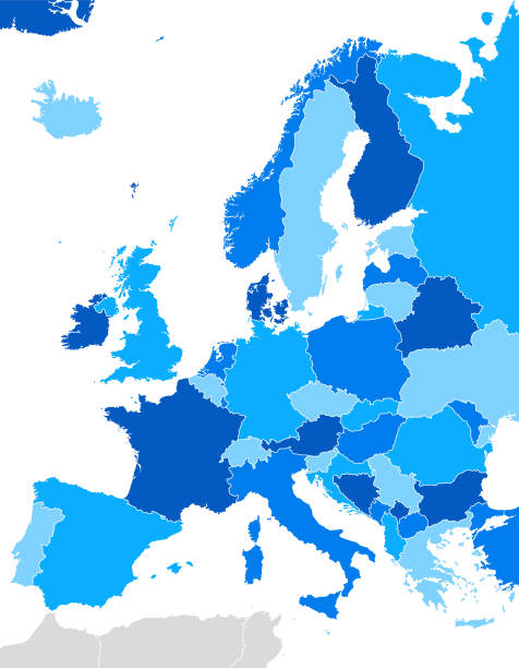
Highly detailed map of Europe for your design and product.
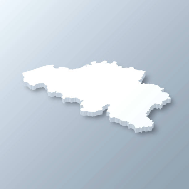
3D map of Belgium isolated on a blank and gray background, with a dropshadow. Vector Illustration (EPS10, well layered and grouped). Easy to edit, manipulate, resize or colorize.
Vector illustration of two blue Belgium icons.


High detailed Belgium physical map with labeling. Organized vector illustration on seprated layers.
vector illustration of Benelux map
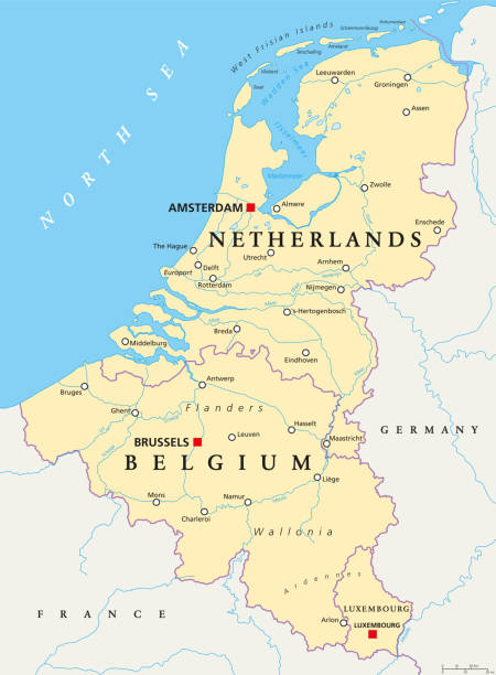
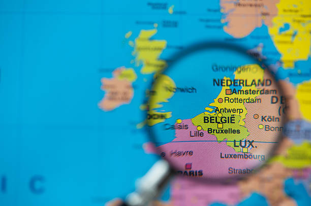
Benelux. Belgium, Netherlands and Luxembourg. Political map with capitals, borders and important cities. Benelux Union, a geographic, economic, cultural group. English labeling. Illustration. Vector.


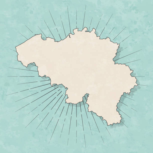
Map of Belgium in a trendy vintage style. Beautiful retro illustration with old textured paper and light rays in the background (colors used: blue, green, beige and black for the outline). Vector Illustration (EPS10, well layered and grouped). Easy to edit, manipulate, resize or colorize.


Highly detailed vector map of Belgium. File was created on July 14, 2011. The colors in the .eps-file are ready for print (CMYK). Included files: EPS (v8) and Hi-Res JPG.

Belgium map in neumorphism style on white background, vector illustration

Map of Belgium with a retro style, a vintage effect on an old textured paper.


Map of Belgium with a realistic paper cut effect isolated on white background. Vector Illustration (EPS10, well layered and grouped). Easy to edit, manipulate, resize or colorize. Please do not hesitate to contact me if you have any questions, or need to customise the illustration. http://www.istockphoto.com/bgblue/
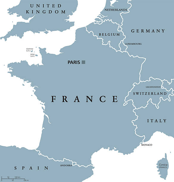
France political map with capital Paris, Corsica, national borders and neighbor countries. Gray illustration with English labeling and scaling on white background. Illustration.
![Europe map Europe map.Source: "World reference atlas"
[url=/search/lightbox/5890567][IMG]http://farm4.static.flickr.com/3574/3366761342_e502f57f15.jpg?v=0[/IMG][/url] belgium map stock pictures, royalty-free photos & images](https://media.istockphoto.com/id/110924644/photo/europe-map.jpg?s=612x612&w=0&k=20&c=Mtgn8ExOWOVi2J_HNMaZD2JLJALDXHS34pREoh1RZWo=)
Europe map.Source: "World reference atlas" [url=/search/lightbox/5890567][IMG]http://farm4.static.flickr.com/3574/3366761342_e502f57f15.jpg?v=0[/IMG][/url]
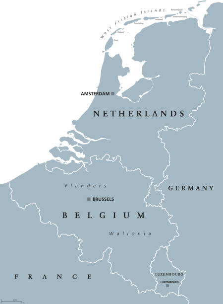
Benelux countries, gray colored political map. Belgium, Netherlands and Luxembourg. Benelux Union, a geographic, economic and cultural group. English labeling. Illustration on white background. Vector

High detailed Belgium road map with labeling. Organized vector illustration on seprated layers.

Dotted map of Belgium painted in the colors of the national flag of Belgium. Waving flag effect. Map tools, set of cartographic icons. Vector illustration

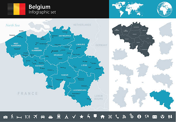
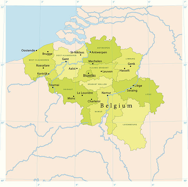
Detailed vector map of Belgium with administrative divisions. File was created on November 5, 2012. The colors in the .eps-file are ready for print (CMYK). Included files: EPS (v8) and Hi-Res JPG (5600 × 4678 px).
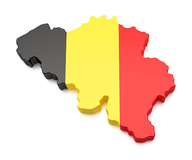
High detailed 3D Belgium Map with National Flag

"European Union flag over Europe map. Source: ""World reference atlas"""

Detailed vector map of Belgium, including main cities, roads, rivers and lakes. The colors in the .eps-file are ready for print (CMYK). Included files are EPS (v10) and Hi-Res JPG (4922 x 4922 px).

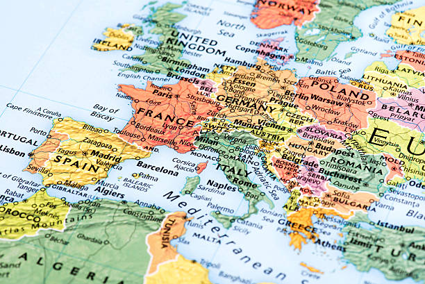
Map of Europe. Detail from the World Atlas.


http://teekid.com/istockphoto/banner/banner3.jpg
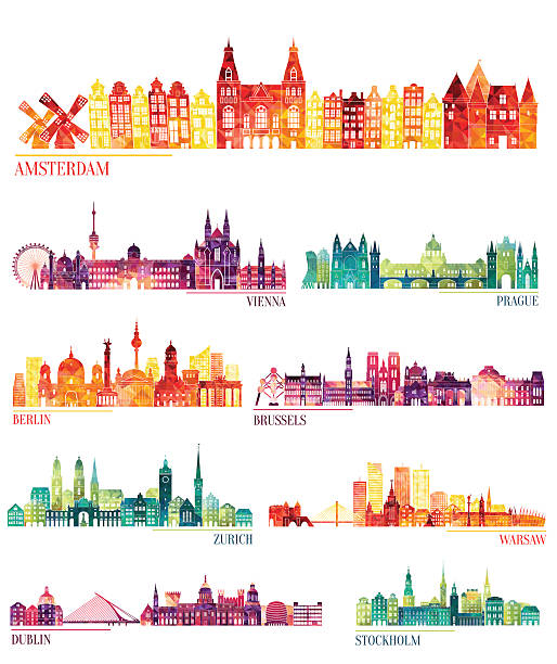
Skyline detailed silhouette set (Amsterdam, Vienna, Prague, Berlin, Brussels, Zurich, Warsaw, Dublin, Stockholm ). Vector illustration

Belgium - detailed map with administrative divisions country. Vector illustration

Country line of Europe, European map illustration, vector isolated on white background, outline style


States and capitals of the European Union pinned with golden pins on a cork globe. The pins are connected to each other with a golden thread.

3D Render of a Topographic Map of the Kingdom of Belgium.

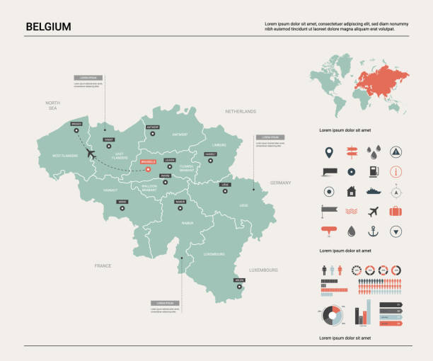
Belgium travel infographics with national map architecture and cuisine roads and rating of using transport vector illustration

White map of Belgium isolated on a gray background with a long shadow effect and in a flat design style. Vector Illustration (EPS10, well layered and grouped). Easy to edit, manipulate, resize or colorize.

Next