Blank Outline Maps Pictures Pictures, Images and Stock Photos
Browse 2,100+ blank outline maps pictures stock photos and images available, or start a new search to explore more stock photos and images.
Most popular
thin line usa map with other territories and shadow. concept of mapping, hand drawn decoration, topography, trip, education, federal. flat style trend modern vector illustration on white background

Human crowd forming a big Turkey map on white background. Horizontal composition with copy space. Clipping path is included. Population and Social Media concept.

Human crowd forming a big Australian map on white background. Horizontal composition with copy space. Clipping path is included. Population and Social Media concept.


The Milky Way photographed from the Viewpoint Car Park at Blackgang on the Isle of Wight, around this time last year. This is one photo. The Bright star to the lower-left of the central core is Saturn. 20 seconds, f4.2, ISO5000, @18mm

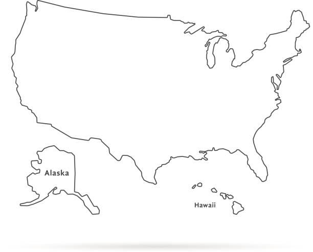
USA Map Outline on white background. Professional digitally created image.
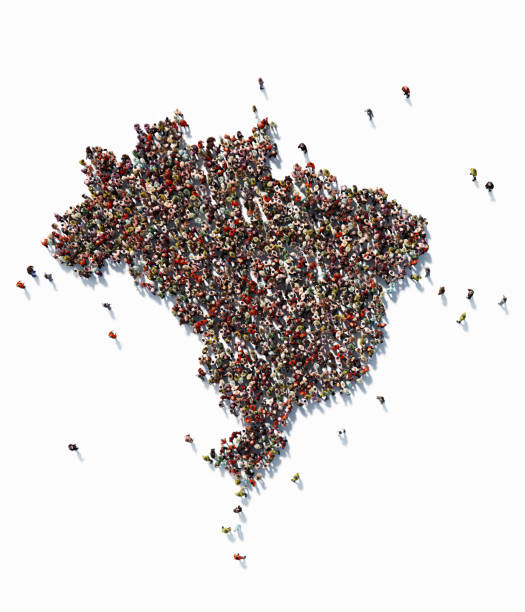
Human crowd forming a big Brazil map on white background. Horizontal composition with copy space. Clipping path is included. Population and Social Media concept.

Wine-producing countries - maps from wine corks. Map of USA on white background. Clipping path included.


Greece and Turkish flag standing on the table with defocused background


Red Maple Leaves in shape of Canada map, on white background with Happy Canada Day sample text.


Human crowd forming a big Canada map on white background. Horizontal composition with copy space. Clipping path is included. Population and Social Media concept.
isolated USA map photocopy texture on white

Human crowd forming a big Italy map on white background. Vertical composition with copy space. Clipping path is included. Population and Social Media concept.

Human crowd forming a big Holland map on white background. Horizontal composition with copy space. Clipping path is included. Population and Social Media concept.


Earth Globe with flight paths/connections_________INSPECTOR_______Earth map from here:http://visibleearth.nasa.gov/view.phpid=57735

A dark night sky with a sparkling red firecracker in the shape of Texas composed into.(series)


Hand drawn scribble line art world map isolated on whitebackground. Vector illustration

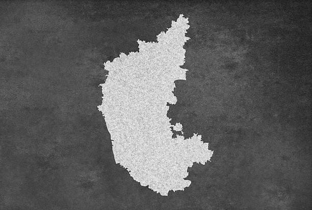
Indian Province Karnataka ಕರ್ನಾಟಕ Map Outline on an Blackboard. Professional digitally created image. High resolution, sharp edges.


Human crowd forming a big USA map on blue background. Horizontal composition with copy space. Clipping path is included. Population and Social Media concept.

Wine-producing countries - maps from wine corks. Map of Italy on white background. Clipping path included.

Germany map is written by hand on blackboard.

Vector political map of world. Black outline on white background with country name labels.
set of abstract design templates


Shiny light blue badge with an american state. United States concept image. Digitally created image. Map is

Wine-producing countries - maps from wine corks. Map of France on white background. Clipping path included.

Human crowd forming a big Austria map on white background. Horizontal composition with copy space. Clipping path is included. Population and Social Media concept.

A dark night sky with a sparkling red firecracker in the shape of Africa composed into.(series)

A dark night sky with a sparkling red firecracker in the shape of Australia composed into.(series)


Digital Indian Map on an old scratched Blackboard. Professional digitally created image. High resolution, sharp edges.

USA Map Outline Borders on White Background. Professional digitally created image.

Indian Province Telangana Map Outline on an Blackboard. Professional digitally created image. High resolution, sharp edges.

Capitol Hill, located in Washington, D.C., is a historic neighborhood and the epicenter of the United States' legislative branch. Dominated by the iconic United States Capitol building, Capitol Hill is home to the U.S. Congress, including the Senate and the House of Representatives. The neighborhood features grand government buildings, including the Library of Congress and the Supreme Court. Beyond its political significance, Capitol Hill is known for its charming row houses, historic streets, and Eastern Market—a vibrant market offering fresh produce, artisan goods, and a lively atmosphere. It is both a symbol of American democracy and a residential and cultural hub in the nation's capital.

Great Britain Map Outline on white background. Professional digitally created image.

Wine-producing countries - maps from wine corks. Map of Spain on white background.


Human crowd forming a big USA map on white background. Horizontal composition with copy space. Clipping path is included. Population and Social Media concept.

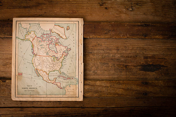
Color image of an old map of North America, from the 1800's, sitting on wood background, with copy space.


Hand painted water color graphic sketch, cut out clipart elements for design.

Wine-producing countries - maps from wine corks. Map of Argentina on white background.

Human crowd forming a big Spain map on white background. Horizontal composition with copy space. Clipping path is included. Population and Social Media concept.

Belgium Map Outline on white background. Professional digitally created image.

Map of Thuringia in realistic white frame isolated on blank wall (colors used: blue, green, gray and white). Vector Illustration (EPS10, well layered and grouped). Easy to edit, manipulate, resize or colorize.

Next