
Drc Silhouette Pictures, Images and Stock Photos
Browse 540+ drc silhouette stock photos and images available, or start a new search to explore more stock photos and images.
Most popular
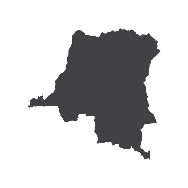
Democratic Republic of the Congo map silhouette on the white background. Vector illustration
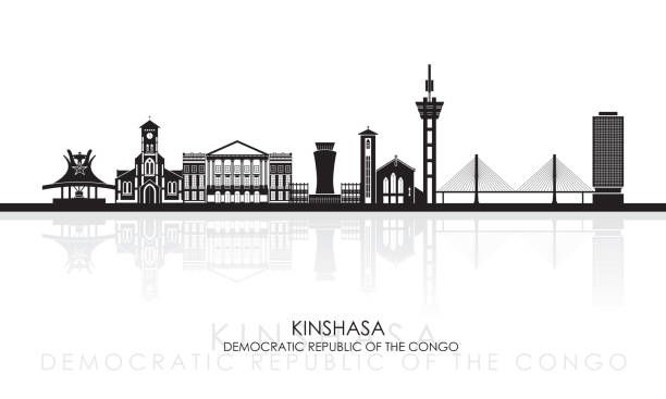
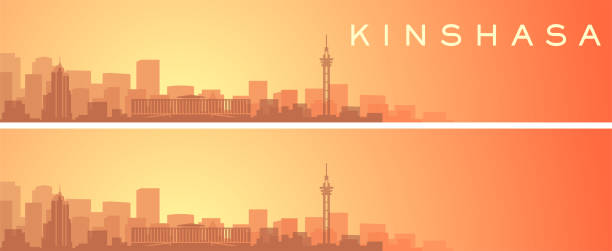
Silhouette Skyline panorama of Kinshasa, Democratic Republic of the Congo - vector illustration

Fisherman on a misty morning paddling in a typical dugout canoue (Pirogue) on the the Maringa River in Congo. This smaller river is joining the might Congo River.

Silhouette of a typical pirogue (dugout canoe) at sunset at Congo river.

Highly detailed physical map of Africa.

Multi-colored map of Africa showing country borders isolated on white.
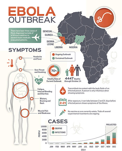
Ebola outbreak infographic elements. EPS 10 file. Transparency effects used on highlight elements.

Square dots pattern map of Democratic Republic of the Congo. DR Congo dotted pixel map with national flag colors isolated on black background. Vector illustration.

Map of Africa. Isolated vector illustration on white background.

Silhouette of a fisherman paddling his pirogue (dugout canoe) in the early morning fog at Congo river.

Map of Africa landscape view, Garden Route, South Africa


Highly detailed physical map of Africa.


Symbol of the Republic of the Congo.

Silhouette of a fisherman paddling his pirogue (dugout canoe) in the early morning fog at Congo river.


Mudende and Mugongo northwest Rwanda with views of Virunga volcanoes including Mikeno to the left and Karisimbi to the right in the background . In the foreground are pastures used by Tutsi herders and Eucalyptus trees.

Silhouette of a typical pirogue (dugout canoe) at sunset at Congo river.

Africa Skyline with Famous Landmarks. Vector Illustration. Business Travel and Tourism Concept. Image for Presentation, Banner, Placard and Web Site.
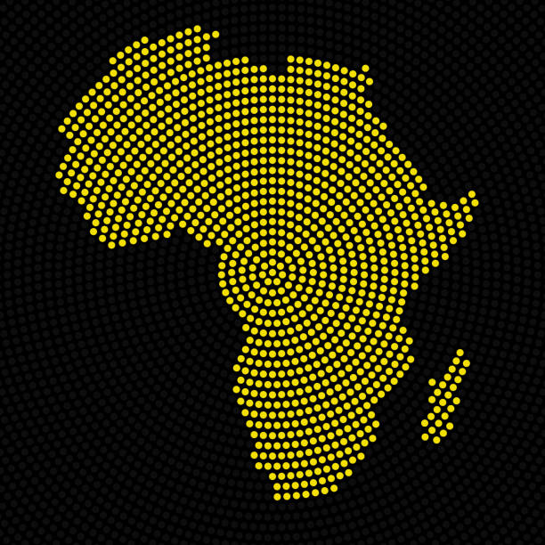
Africa, Planet Earth, Continent, Abstract, Radial, Map, Circle, Country, Colorful


Map of Africa landscape view, Garden Route, South Africa


Africa, Planet Earth, Continent, Abstract, Radial, Map, Circle, Country, Colorful, Neon, Glow

DR Congo round stamp. Round logo with country map and title. Stylish minimal DR Congo badge with map. Vector illustration.

Detailed map of Angola.

Highly detailed vector map of Central African Republic with administrative regions, main cities and roads.

Detailed map of Zambia.

Kid style map of DR Congo. Hand drawn polygons in the shape of DR Congo. Vector illustration.

Highly detailed set of vector flag maps of all the

Simple flat map of Africa continent with national borders and country name labels on blue background. Vector illustration.

Africa, Abstract, Map, Radial, Dot, Glow, Neon, Circle, Country
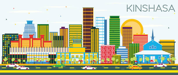
Kinshasa Skyline with Color Buildings and Blue Sky. Vector Illustration. Business Travel and Tourism Concept with Modern Architecture. Image for Presentation Banner Placard and Web Site.

DR Congo map. Map of the country with beautiful geometric waves in red blue colors. Vivid DR Congo shape. Vector illustration.

Democratic Republic of the Congo Map radial dotted pattern in futuristic style, design blue circle glowing outline made of stars. concept of communication on dark blue background. Vector illustration EPS10
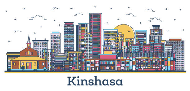
Outline Kinshasa Congo City Skyline with Modern Colored Buildings Isolated on White. Vector Illustration. Kinshasa Africa Cityscape with Landmarks.

Detailed map of Uganda.

Last daylight at Lake Tanganyika with some typcial fishing boats.

A typical wooden boat in the last daylight at Lake Tanganyika.

Detailed map of Rwanda.
![Lake Kivu Lake Kivu (2,700 km2), located on the border of the Democratic Republic of Congo and Rwanda, is one of the Great Lakes of Africa and the most dangerous of the continent's three meromictic lakes, as it contains large quantities of toxic, asphyxiating and greenhouse gas (hydrogen sulphide, carbon dioxide and methane) capable of suddenly degassing in the event of an earthquake[1]. Its outlet, the Rusizi River, feeds Lake Tanganyika to the south. The lake has an altitude of 1,460 m. There we find Idjwi, the second largest island in the interior of the African continent with a length of 40 km and an area of 285 km2. At the bottom of the lake, approximately 500 m of sediments cover the Precambrian crystalline basement. To the north of the lake, magnetic anomalies are due to ancient volcanic outpourings[2]. Salinity approaches 4‰ at the bottom of the lake. The first European to access it was a German, Count Gustav Adolf von Götzen, in 1894. The Congolese towns of Goma and Bukavu are neighbors of the lake. In Rwanda, these are Gisenyi, Kibuye and Cyangugu. It gained sad notoriety during the 1994 genocide of the Tutsi in Rwanda, with many victims having been thrown there. drc silhouette stock pictures, royalty-free photos & images](https://media.istockphoto.com/id/1777085470/photo/lake-kivu.jpg?s=612x612&w=0&k=20&c=y3uwFFo5HoMsuVH1AT7J3-YPg7vgUzEqBP0N6WWPcfw=)
Lake Kivu (2,700 km2), located on the border of the Democratic Republic of Congo and Rwanda, is one of the Great Lakes of Africa and the most dangerous of the continent's three meromictic lakes, as it contains large quantities of toxic, asphyxiating and greenhouse gas (hydrogen sulphide, carbon dioxide and methane) capable of suddenly degassing in the event of an earthquake[1]. Its outlet, the Rusizi River, feeds Lake Tanganyika to the south. The lake has an altitude of 1,460 m. There we find Idjwi, the second largest island in the interior of the African continent with a length of 40 km and an area of 285 km2. At the bottom of the lake, approximately 500 m of sediments cover the Precambrian crystalline basement. To the north of the lake, magnetic anomalies are due to ancient volcanic outpourings[2]. Salinity approaches 4‰ at the bottom of the lake. The first European to access it was a German, Count Gustav Adolf von Götzen, in 1894. The Congolese towns of Goma and Bukavu are neighbors of the lake. In Rwanda, these are Gisenyi, Kibuye and Cyangugu. It gained sad notoriety during the 1994 genocide of the Tutsi in Rwanda, with many victims having been thrown there.
![Lake Kivu Lake Kivu (2,700 km2), located on the border of the Democratic Republic of Congo and Rwanda, is one of the Great Lakes of Africa and the most dangerous of the continent's three meromictic lakes, as it contains large quantities of toxic, asphyxiating and greenhouse gas (hydrogen sulphide, carbon dioxide and methane) capable of suddenly degassing in the event of an earthquake[1]. Its outlet, the Rusizi River, feeds Lake Tanganyika to the south. The lake has an altitude of 1,460 m. There we find Idjwi, the second largest island in the interior of the African continent with a length of 40 km and an area of 285 km2. At the bottom of the lake, approximately 500 m of sediments cover the Precambrian crystalline basement. To the north of the lake, magnetic anomalies are due to ancient volcanic outpourings[2]. Salinity approaches 4‰ at the bottom of the lake. The first European to access it was a German, Count Gustav Adolf von Götzen, in 1894. The Congolese towns of Goma and Bukavu are neighbors of the lake. In Rwanda, these are Gisenyi, Kibuye and Cyangugu. It gained sad notoriety during the 1994 genocide of the Tutsi in Rwanda, with many victims having been thrown there. drc silhouette stock pictures, royalty-free photos & images](https://media.istockphoto.com/id/1777084934/photo/lake-kivu.jpg?s=612x612&w=0&k=20&c=WpQ9NuNMo0M8Z0GTTnHvofqqB7kysxAIT-q4WplEeVk=)
Lake Kivu (2,700 km2), located on the border of the Democratic Republic of Congo and Rwanda, is one of the Great Lakes of Africa and the most dangerous of the continent's three meromictic lakes, as it contains large quantities of toxic, asphyxiating and greenhouse gas (hydrogen sulphide, carbon dioxide and methane) capable of suddenly degassing in the event of an earthquake[1]. Its outlet, the Rusizi River, feeds Lake Tanganyika to the south. The lake has an altitude of 1,460 m. There we find Idjwi, the second largest island in the interior of the African continent with a length of 40 km and an area of 285 km2. At the bottom of the lake, approximately 500 m of sediments cover the Precambrian crystalline basement. To the north of the lake, magnetic anomalies are due to ancient volcanic outpourings[2]. Salinity approaches 4‰ at the bottom of the lake. The first European to access it was a German, Count Gustav Adolf von Götzen, in 1894. The Congolese towns of Goma and Bukavu are neighbors of the lake. In Rwanda, these are Gisenyi, Kibuye and Cyangugu. It gained sad notoriety during the 1994 genocide of the Tutsi in Rwanda, with many victims having been thrown there.

Detailed map of Burundi.


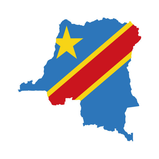
Outline map of Democratic Republic of Congo with the national flag superimposed at country outline borders. 3d graphic with shadow and the feeling of space
![Idjwi island Idjwi, or Ijwi, is an inland island in Lake Kivu which forms part of South Kivu Province in the Democratic Republic of the Congo. At 70 km (43 mi) in length and with an area of 340 km2 (131 sq mi), it is the second-largest lake island in Africa and the tenth largest in the world.[a] Idjwi is roughly equidistant between the Congo and Rwanda, with 10 to 15 kilometres (6 to 9 mi) separating its western shore from the DRC mainland and a similar distance between its eastern shore and the coastline of Rwanda. The island's southern tip, however, lies only 1 kilometre (0.62 mi) from a promontory of the Rwandan coast. drc silhouette stock pictures, royalty-free photos & images](https://media.istockphoto.com/id/1777083347/photo/idjwi-island.jpg?s=612x612&w=0&k=20&c=utGU3Ihx2J8CEiGLudzUzbK-snJ6WaIvRMsrN4aZlSQ=)
Idjwi, or Ijwi, is an inland island in Lake Kivu which forms part of South Kivu Province in the Democratic Republic of the Congo. At 70 km (43 mi) in length and with an area of 340 km2 (131 sq mi), it is the second-largest lake island in Africa and the tenth largest in the world.[a] Idjwi is roughly equidistant between the Congo and Rwanda, with 10 to 15 kilometres (6 to 9 mi) separating its western shore from the DRC mainland and a similar distance between its eastern shore and the coastline of Rwanda. The island's southern tip, however, lies only 1 kilometre (0.62 mi) from a promontory of the Rwandan coast.

![Lake Kivu Lake Kivu (2,700 km2), located on the border of the Democratic Republic of Congo and Rwanda, is one of the Great Lakes of Africa and the most dangerous of the continent's three meromictic lakes, as it contains large quantities of toxic, asphyxiating and greenhouse gas (hydrogen sulphide, carbon dioxide and methane) capable of suddenly degassing in the event of an earthquake[1]. Its outlet, the Rusizi River, feeds Lake Tanganyika to the south. The lake has an altitude of 1,460 m. There we find Idjwi, the second largest island in the interior of the African continent with a length of 40 km and an area of 285 km2. At the bottom of the lake, approximately 500 m of sediments cover the Precambrian crystalline basement. To the north of the lake, magnetic anomalies are due to ancient volcanic outpourings[2]. Salinity approaches 4‰ at the bottom of the lake. The first European to access it was a German, Count Gustav Adolf von Götzen, in 1894. The Congolese towns of Goma and Bukavu are neighbors of the lake. In Rwanda, these are Gisenyi, Kibuye and Cyangugu. It gained sad notoriety during the 1994 genocide of the Tutsi in Rwanda, with many victims having been thrown there. drc silhouette stock pictures, royalty-free photos & images](https://media.istockphoto.com/id/1777084379/photo/lake-kivu.jpg?s=612x612&w=0&k=20&c=WcRZfOsKRCWlGj6Vx749h448gGgQwBZH4hGpuwdoKj8=)
Lake Kivu (2,700 km2), located on the border of the Democratic Republic of Congo and Rwanda, is one of the Great Lakes of Africa and the most dangerous of the continent's three meromictic lakes, as it contains large quantities of toxic, asphyxiating and greenhouse gas (hydrogen sulphide, carbon dioxide and methane) capable of suddenly degassing in the event of an earthquake[1]. Its outlet, the Rusizi River, feeds Lake Tanganyika to the south. The lake has an altitude of 1,460 m. There we find Idjwi, the second largest island in the interior of the African continent with a length of 40 km and an area of 285 km2. At the bottom of the lake, approximately 500 m of sediments cover the Precambrian crystalline basement. To the north of the lake, magnetic anomalies are due to ancient volcanic outpourings[2]. Salinity approaches 4‰ at the bottom of the lake. The first European to access it was a German, Count Gustav Adolf von Götzen, in 1894. The Congolese towns of Goma and Bukavu are neighbors of the lake. In Rwanda, these are Gisenyi, Kibuye and Cyangugu. It gained sad notoriety during the 1994 genocide of the Tutsi in Rwanda, with many victims having been thrown there.

Mid-1980s view of Nyiragongo Volcano's Silhouette on the Zaire (Democratic Republic of Conto) side of the border and traditional village huts seen on the Mudende Rwanda side of the border