
Images
Extreme Weather Pictures, Images and Stock Photos
Browse 451,500+ extreme weather stock photos and images available, or search for hurricane or extreme weather collage to find more great stock photos and pictures.
hurricane
extreme weather collage
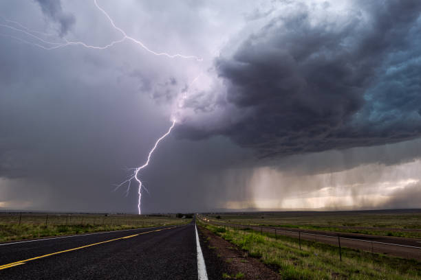
thunderstorm
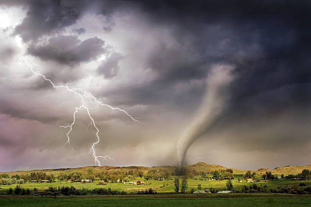
tornado
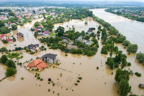
flood
extreme weather conditions
climate change
extreme weather icon
extreme weather sea
extreme weather events
extreme weather city
extreme weather preparation
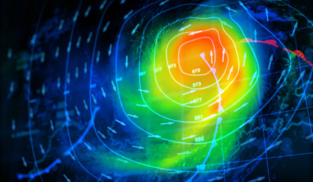
extreme weather map
extreme weather desert
extreme weather snow
climate change extreme weather
extreme weather norway
extreme weather farm
extreme weather damage
extreme weather uk
extreme weather montage
extreme weather ice
extreme weather pattern
extreme weather rain
extreme weather house
extreme weather australia
people in extreme weather
extreme weather umbrella
extreme weather photos
extreme weather person
Most popular

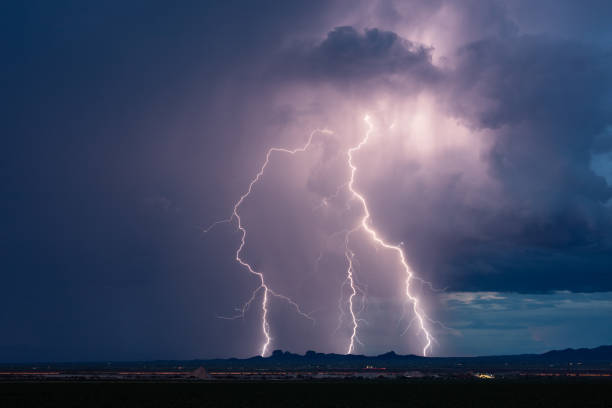
Bright lightning bolt strikes and dark storm clouds from a monsoon thunderstorm near Tucson, Arizona.
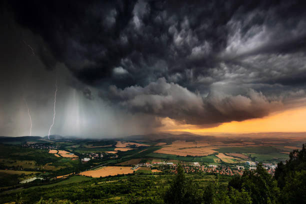
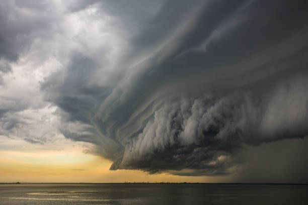
A severe thunderstorm shelf cloud races across the country side on a summer afternoon
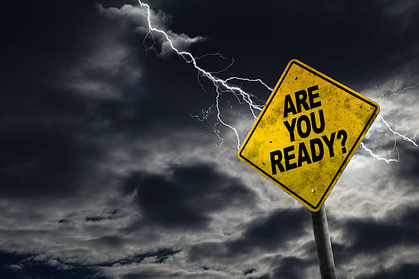
Are You Ready sign against a stormy background with lightning and copy space. Dirty and angled sign adds to the drama.

dramatic lightning thundertbolt bolt strike in daylight rural surrounding bad weather dark sky
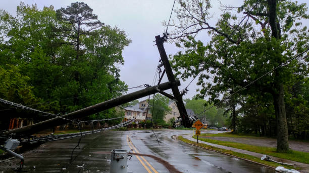
transformer on a electric poles and a tree laying across power lines over a road after Hurricane


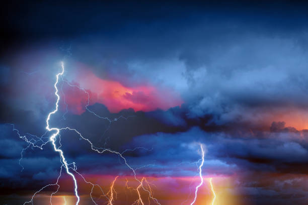
Lightning thunderstorm flash over the night sky. Concept on topic weather, cataclysms (hurricane, Typhoon, tornado, storm)
Weather line icons set. Sun, rain, thunder storm, dew, wind, snow cloud, night sky minimal vector illustrations. Simple flat outline signs for web, forecast app. 30x30 Pixel Perfect. Editable Strokes.
Weather Map - 3D Rendering
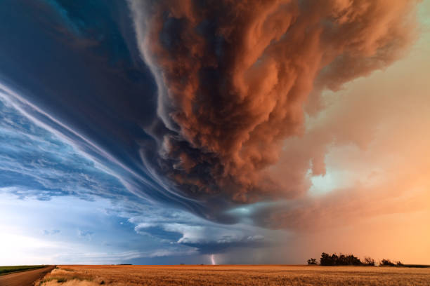
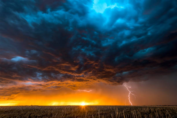
Supercell thunderstorm with dramatic storm clouds at sunset during a severe weather outbreak in Kansas.
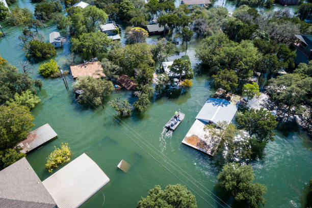
Water Rescue crew on site searching for survivors after dangerous Flooding Aerial drone views high above Flooding caused by Climate Change leaving entire neighborhood underwater and houses completely under water , boat with water rescue searching for people stuck in their flooded homes
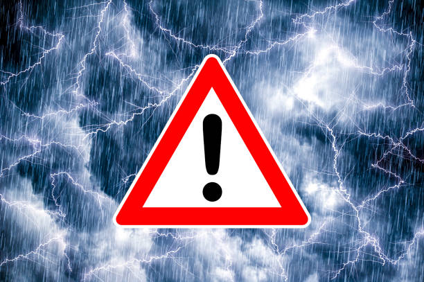
A traffic warning sign with exclamation points in front of a dramatic sky background
Thunder, lightnings and rain on stormy summer night.

Storm Map - 3D Rendering
An amazing looking super cell storm cloud forming on the east coast of Queensland, Australia.
Natural Disaster Icons Set on White Background. Vector illustration
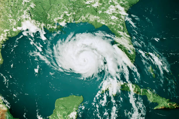
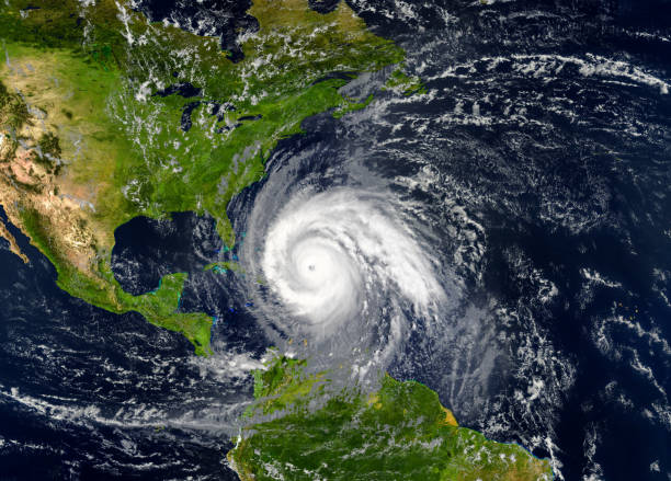
3D Render of the clouds of Hurricane Ida (Aug 28, 2021) on a Topographic Map of the Gulf of Mexico. All source data is in the public domain. Cloud texture: VIIRS, NOAA-20 courtesy of NASA. https://worldview.earthdata.nasa.gov Color texture: Made with Natural Earth. http://www.naturalearthdata.com/downloads/10m-raster-data/10m-cross-blend-hypso/ Relief texture: SRTM data courtesy of NASA JPL (2020). https://e4ftl01.cr.usgs.gov//DP133/SRTM/SRTMGL3.003/2000.02.11 Water texture: SRTM Water Body SWDB: https://dds.cr.usgs.gov/srtm/version2_1/SWBD/
Lightning thunderstorm flash over the night sky. Concept on topic weather, cataclysms (hurricane, Typhoon, tornado)
Thunder, lightning and rain during summer storm at night.
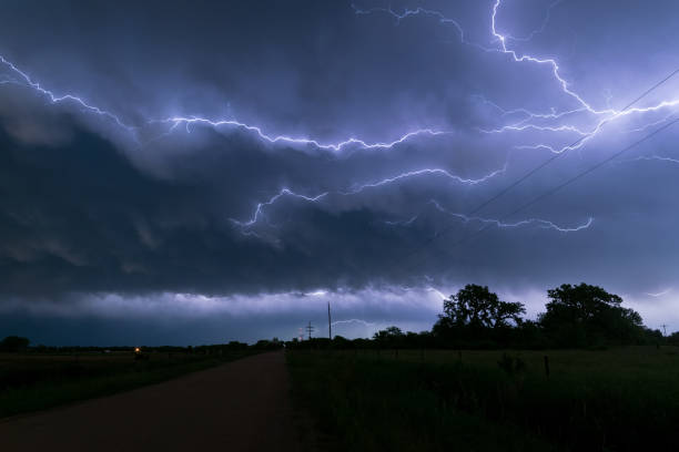
An active thunderstorm complex moved over Nebraska in the afternoon and evening hours. At the back of this system a lot of these so called `anvil crawlers` could be seen.
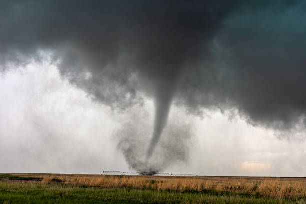
A tornado spins in a field beneath a supercell thunderstorm during a severe weather event in Selden, Kansas.
Weather flat icons set. Sun, rain, thunder storm, dew, wind, snow cloud, night sky black minimal vector illustrations. Simple glyph silhouette signs for web, forecast app.
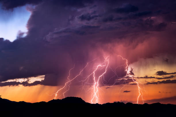
Powerful lightning bolts strike from a sunset thunderstorm in the Arizona desert.
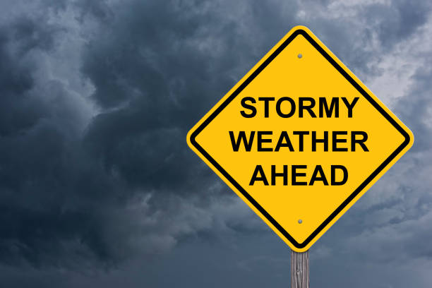
Stormy Weather Ahead Caution Sign With Storm Cloud Background
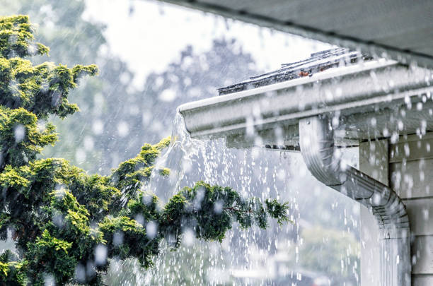
Drenching downpour rain storm water is overflowing off the tile shingle roof - streaming, rushing and splashing out over the overhanging eaves trough aluminum roof gutter system on a suburban residential colonial style house near Rochester, New York State, USA during a torrential mid-summer July downpour.
A nighttime, tornadic mezocyclone lightning storm shoots bolt of electricity to the ground and lights up the field and dirt road in Tornado Alley. A large lightning strike at dusk in an open plain framed against a deep, dark orange sunset and stormy skies. A large lightning strike at dusk in an open plain framed against a deep, dark orange sunset and stormy skies.
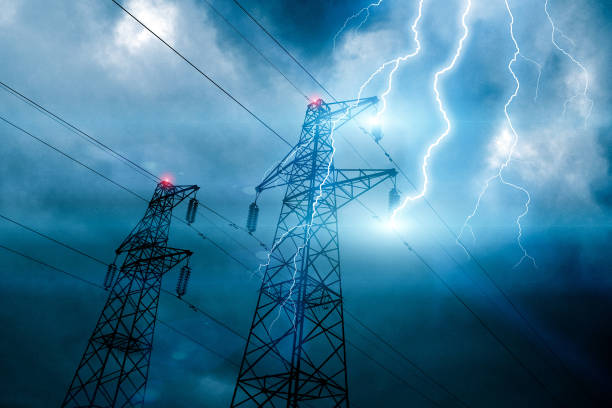
Storm lightning hitting powerline tower with bolts and plasma balls forming along electricity cables. Possible blackout. Cloudy sky with stormy weather at dusk. Digital composite.
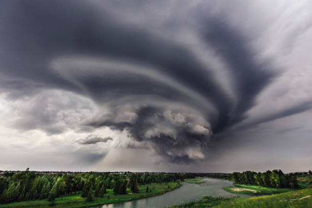
An ominous storm rolls in over the Bow River in Calgary
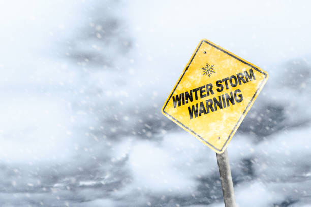
Winter storm season with snowflake symbol sign against a snowy background and copy space. Snow splattered and angled sign adds to the drama.
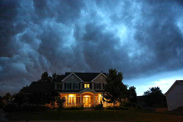
A well appointed house is lit up while a large thunderstorm moves in overhead. Ample copy space above.
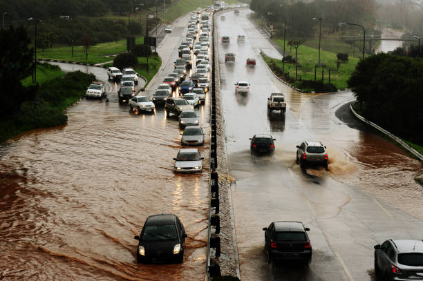
Motorists drive through water on a flooding highway
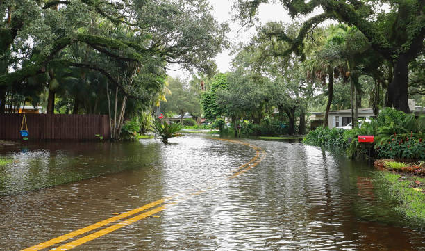
Fort Lauderdale street floods with rain water from Tropical Storm Eta.

A set of natural disaster icons. The icons include a hurricane, tornado, weather, snow storm, wind, volcano, drought, tsunami, rain, forest fire, avalanche, flood, flooding, wind damage, fire, house, home, astroid, earthquake among others.


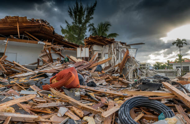
House destroyed by the passage of a hurricane in Florida
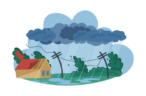
Natural disasters Tropical cyclones. Swirling tornado in village destroy houses, tropical rainstorm with strong wind breaks trees blows off roof of building. Huge wind, waterspout storm cartoon vector
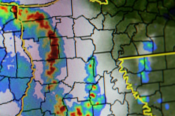
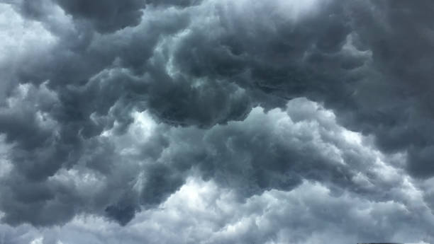
Storm on Rader shallow focus on storm visible RGB cells.
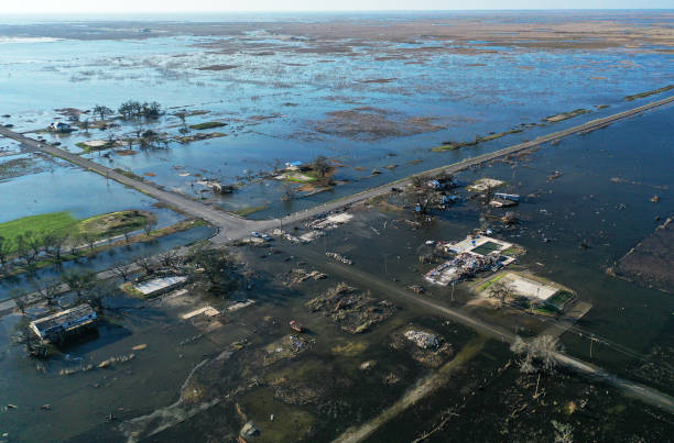
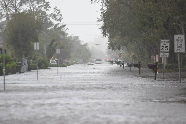
Storm Surge During Hurricane IAn Naples Park 108th Ave
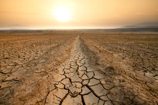
Canal middle agricultural dry by drought and heatwave on summer. water crisis and water stress on summer during long term drought on summer.

Emergency Preparedness Checklist with pencil. Close-up.
Weather and Climate - Ultimate pack #9
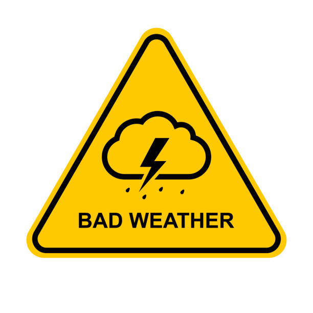
Bad weather. Yellow bad weather warning sign. Downpour, rain, thunderstorm, lightning, hurricane, storm, typhoon, hail, wind, precipitation. Vector illustration.
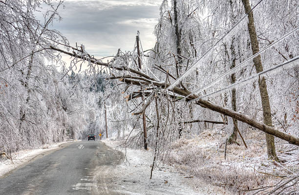
Car drives under dangerous trees weighed down by ice and powerlines after an icestorm. The weight of ice can easily snap power lines and break or bring down power/utility poles split trees in half and turn roads and pavements into lethal sheets of smooth, thick ice
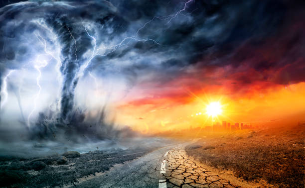
Mix of dgital painting and photographic elements of extreme weather. Photo is of rural Washington state terrain.
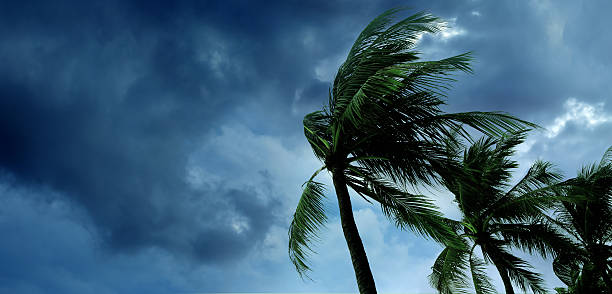
waving palm trees in windy tropical storm over cloudy dark sky
Lightning bolt strike from a thunderstorm with dark clouds and rain.
Next