Imaginary City Map Pictures, Images and Stock Photos
Browse 80+ imaginary city map stock photos and images available, or start a new search to explore more stock photos and images.
Most popular
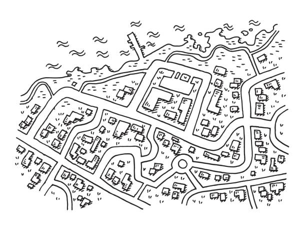
Hand-drawn vector drawing of a Street Map of a Coastal Village, Aerial View. Black-and-White sketch on a transparent background (.eps-file). Included files are EPS (v10) and Hi-Res JPG.
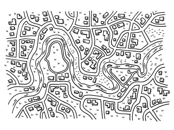
Hand-drawn vector drawing of a Generic City Map with a River. Black-and-White sketch on a transparent background (.eps-file). Included files are EPS (v10) and Hi-Res JPG.
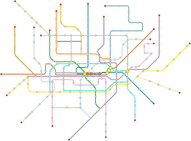
Fictional vector subway map, public transportation map of a great city, free copy space, isolated on white background

Road map of Kota Kinabalu City in Sabah, Malaysia

A cartoon geometric map with lettering and symbols of a brazilian state

Abstract city background illustration without name. An example of low-rise buildings of the old town's historic center. Urban planning vector illustration with space for your copy. Urban planning example

A brain wrapped with a simple road map texture laying on a flap road map

Hand-drawn vector drawing of a Fictional City Map. Black-and-White sketch on a transparent background (.eps-file). Included files are EPS (v10) and Hi-Res JPG.


A brain wrapped with a simple road map texture laying on a flap road map

Man at work thinking about vocation destination


Anime background fantasy city at Night , 2D Illustration

Isometric city urban roads and streets abstract map downtown district map. Highlights points of interest. Vector illustration with pin point, location marker

City map with colored building parcels and roads illustration


The city of Berlin in Germany.


Isometric abstract map background. Colorful abstract lines. Rout, location marked with pin on city map. Navigation pin. Generic city map with signs of streets, roads and house. Colored editable vector illustration, map background.


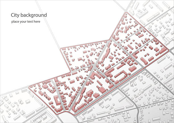
Architect drawing with a digital pen over an imaginary cadastral map of territory with buildings and roads drawn with a CAD (Computer-Aided-Design) computer software in dwg format file.

Napkin sketch illustration. Showing concepts and ideas.

Girl in white looking for a route on the city map.

Gps map as human head and brain. Eps10. This illustration contains transparent and blending mode objects. Each item on different layers.

Isometric city map with designated destination, and multiple markers indicating various routes, including the shortest path option. Abstract navigation layout showcases city streets and neighborhoods. Vector illustration

Concept of analysis, assessment of the state of a city. Red highlighted commercial buildings. Evaluation of various factors that contribute to its overall well-being and functionality. Abstract vector map of buildings illustration


Generic Street Map Square. Computer generated map. Made with Processing. Included files are Vector EPS (v10) and Hi-Res JPG.

Generic Street Map Square. Computer generated map. Made with Processing. Included files are Vector EPS (v10) and Hi-Res JPG.

Navigation system showing tracking navigation in progress on the streets. Track navigation pin on street maps, navigate mapping locate position pin. Editable vector illustration
City streets and blocks, route distance data, path turns and destination tag or mark. Huge city top view. Location tracks dashboard. Vector, illustration. Abstract transportation background.

Urban map for travel. City streets route distance data, path turns and destination tag or mark. Huge city top view. Street on plan town. Vector illustration
Navigation system showing tracking navigation in progress on the streets. Track navigation pin on street maps, navigate mapping locate position pin. Editable vector illustration
Track navigation pin on street maps, navigate mapping locate position pin. Fragments of town. Futuristic route dashboard gps map tracking. Vector illustration,

City map with building parcels and roads monochrome illustration

Decorative graphic tourist map of territory. Search map navigation. Fragments of town. Futuristic route dashboard gps map tracking. Vector illustration,
City street road. City streets and blocks, route distance data, path turns and destination tag or mark. Huge city top view. Location tracks dashboard. Vector, illustration. Abstract transportation background.
Location tracker dashboard. City street road with pins on map and alternative ways. Isometric street roads and location, vector background.

City map featuring directional signs, an intended goal point and multiple markers. An abstract navigation plan highlights points of interest (POI) including city streets and blocks. Editable vector illustration includes designated route, alternative paths.


young tourist woman exploring city map in the street. holidays, tourism and travel concept. High quality 4k footage

Imaginary cadastral map of territory with buildings, roads and land parcel - Concept image with 3D render of a digital tablet and hand writing on a white sheet.

Imaginary cadastral map of territory with buildings, roads and land parcel - Concept image with 3D render of a digital tablet.


Anime background fantasy city at Evening , 2D Illustration


Pushpins on mao

City map featuring directional signs, an intended goal point, and multiple markers. An abstract navigation plan highlights points of interest (POI) including city streets and blocks. Editable vector illustration includes designated route, alternative paths.

Anime background fantasy city at Daytime , 2D Illustration


Generic Street Map Square. Computer generated map. Made with Processing. Included files are Vector EPS (v10) and Hi-Res JPG.

Generic Street Map Square. Computer generated map. Made with Processing. Included files are Vector EPS (v10) and Hi-Res JPG.

Generic Street Map Square. Computer generated map. Made with Processing. Included files are Vector EPS (v10) and Hi-Res JPG.

Generic Street Map Square. Computer generated map. Made with Processing. Included files are Vector EPS (v10) and Hi-Res JPG.

Generic Street Map Square. Computer generated map. Made with Processing. Included files are Vector EPS (v10) and Hi-Res JPG.

Generic Street Map Square. Computer generated map. Made with Processing. Included files are Vector EPS (v10) and Hi-Res JPG.

Generic Street Map Square. Computer generated map. Made with Processing. Included files are Vector EPS (v10) and Hi-Res JPG.
Next