
Kentucky State Pictures, Images and Stock Photos
Browse 1,400+ kentucky state stock photos and images available, or search for kentucky state capitol or kentucky state outline to find more great stock photos and pictures.
kentucky state capitol
kentucky state outline
kentucky state flag
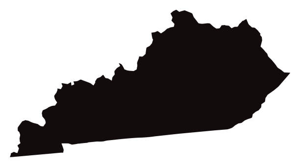
kentucky state shape
kentucky state park
kentucky state capitol building
kentucky state police
kentucky state house
kentucky state university
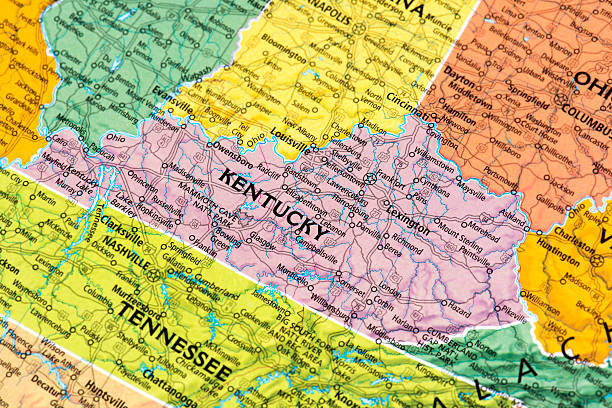
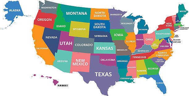
kentucky state map
kentucky state seal
kentucky state legislature
kentucky state fair
kentucky state capital
Most popular
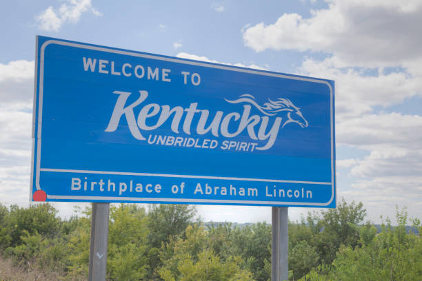
Welcome to Kentucky road sign at the state border
kentucky state map concept
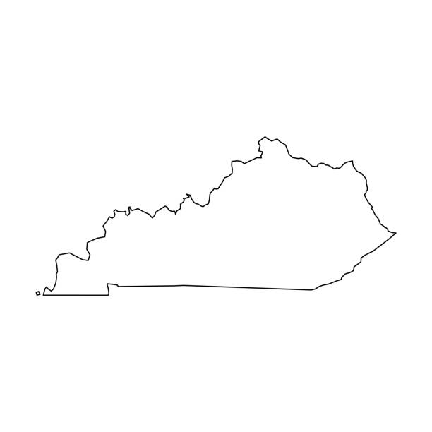
Kentucky, state of USA - solid black outline map of country area. Simple flat vector illustration.

vector illustration of Kentucky map
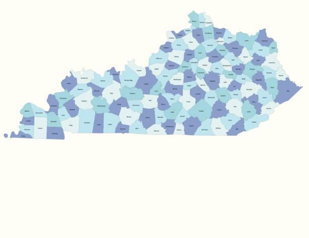
Detailed state-county map of Kentucky.
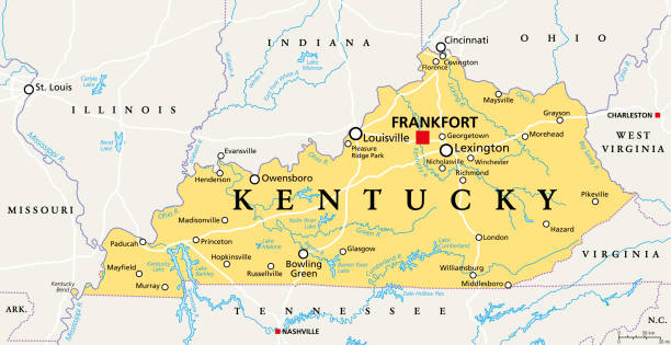
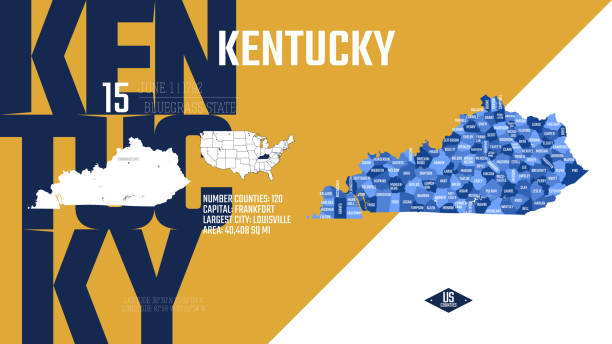
Kentucky, KY, political map with capital Frankfort and largest cities. Commonwealth of Kentucky. State in the Southeastern region of the United States of America. Bluegrass State. Illustration. Vector
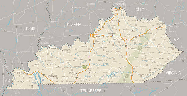
A detailed map of Kentucky state with cities, roads, major rivers, and lakes plus National Forests. Includes neighboring states and surrounding water.

Capitol building in Frankfort, Kentucky

Capitol building in Frankfort, Kentucky
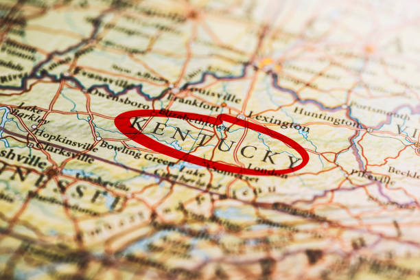
Kentucky circled with red marker on map. Close up shot.


Capitol building in Frankfort, Kentucky

Highway map of the state of Kentucky with Interstates and US Routes. It also has lines for state and county routes (but not labeled) and many cities on it as well. All cities are the County Seats and the Capitol (and some others).


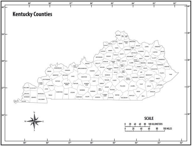
"Highly-detailed Kentucky county map. Each county shape is in a separate labeled layer. All layers have been alphabetized for easy manipulation, recoloring or other use. (see image below -- note: labels only available in AICS2 and AI10 files)"

Road map of Kentucky, US American federal state. Editable highly detailed transportation map of Kentucky with highways and interstate roads, rivers and cities realistic vector illustration

illustration of highly detailed U.S.A map with all state for your design , products and print.

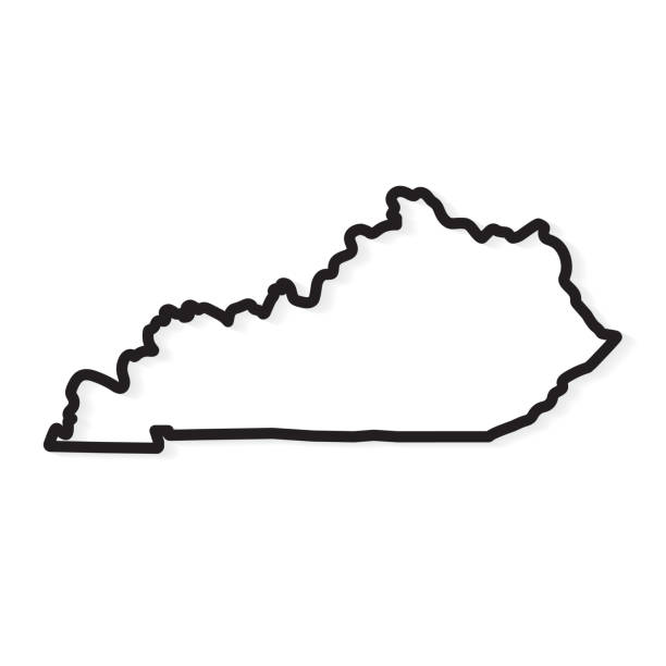
black outline of Kentucky map- vector illustration

kentucky road vector map

Stylized blue sketch map of Kentucky on white background
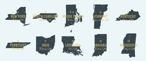

illustration of Kentucky state road map for your design and products.
Map of Kentucky State.
Vector of Highly Detailed Map of Kentucky State of the United States of America - The url of the reference file is : https://www.cia.gov/library/publications/the-world-factbook/graphics/ref_maps/pdf/united_states.pdf
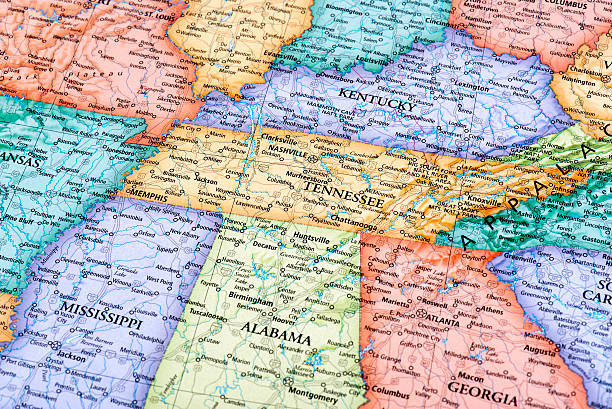
Map of Tennessee and Kentucky States in USA. Detail from the World Map.

3D render of the US state of Kentucky painted with its flag.
Vector isolated illustration icon with simplified blue map's silhouette of Commonwealth of Kentucky (USA). Polygonal geometric style. White background.

Government building of American mid western state with a typical dome


state silhouette, line style. America illustration, American vector outline isolated on white background


United states Kentucky State Map

Illustrated map of Kentucky state with landmarks and symbols.

Map of Kentucky on a realistic wooden wall with a natural light.

USA state map in thin line outline style. The line path is editable and the map is on a transparent background (there is no white shape behind it)

Highly-detailed Kentucky county map. Each county is in it's own separate labeled layer. County names are in a separate layer and can be easily adjusted or removed as well. All layers have been alphabetized for easy manipulation, recoloring or other use.


Capitol building in Frankfort, Kentucky
Set of Kentucky map, united states of america. Flat concept icon vector illustration .

vector illustration of Circle state flag of US federal state of Kentucky
The USA map was traced and simplified in Adobe Illustrator on 5 JULY 2013 from a copyright-free resource below:

Poster Style Topographic / Road map of Louisville, KY, USA. Original map data is open data via © OpenStreetMap contributors. All maps are layered and easy to edit. Roads have editable stroke.

Frankfort, Kentucky/ USA - August 8th, 2019. Interior of the State Senate Chambers in the Kentucky State Capitol Building.

US American state inside the heart shape. Kentucky state. Patriotic heart symbol. Love America symbol. Vector illustration


vector illustration of Kentucky map

USA state Of Kentucky's map and Flag. Isometric view of Kentucky. Flag of USA.

http://farm8.staticflickr.com/7189/6818724910_54c206caf8.jpg


Map of Ohio, Indiana, West Virginia, Kentucky and Illinois States in USA. Detail from the World Map.

Flag of Kentucky. Rendered with fabric texture (visible at 100%). Clipping path included.


The US state flag of Kentucky waving in the wind. Kentucky is a state in the Southeastern region of the United States. Rippled textile background. Realistic 3d illustration. US state flag

USA rubber stamps - State of Kentucky.
Next