Kununurra Pictures, Images and Stock Photos
Browse 410+ kununurra stock photos and images available, or search for kununurra australia to find more great stock photos and pictures.
Most popular
Kununurra is a town in far northern Western Australia located at the eastern extremity of the Kimberley approximately 45 kilometres (28 mi) from the border with the Northern Territory.
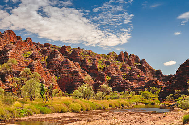
Bee Hive formations at the Bungle Bungles in Western Australia

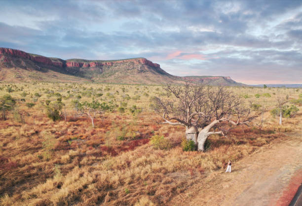
Single Boab tree at sunrise in the Kimberly Western Australia


Western Australia scenes Ord river Farming and crops at Kununurra in the Kimberley region

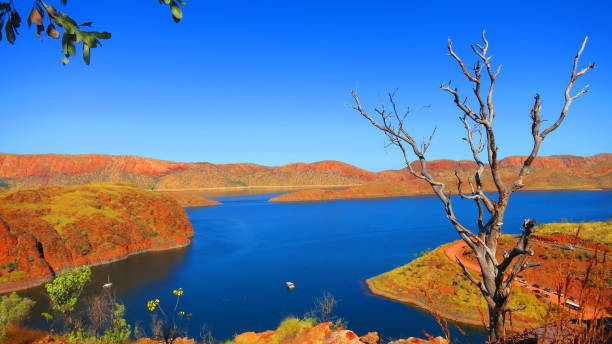
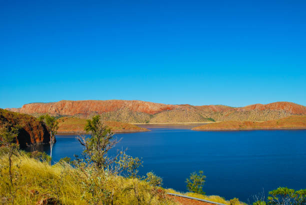
Magnificent Lake Argyle at the edge of the Kimberley.
View of Lake Argyle nearby Kununurra, West Australia - this reservoir lake is full of fresh water crocodiles popular place for fishing and various family water sports

Color landscape drone Aerial view of the dam wall at lake argyle
Aerial video of surroundings and cliffs in El Questro, the Kimberley, Western Australia
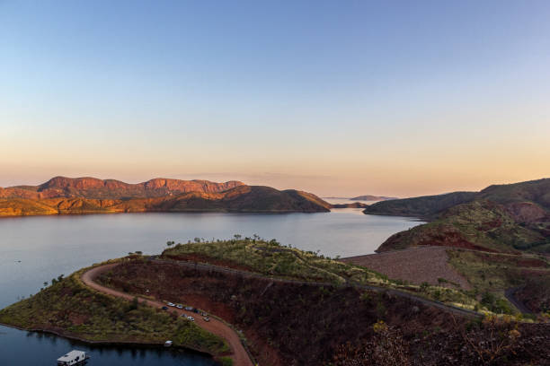
Lake Argyle is Western Australia's largest man-made reservoir by volume. The reservoir is part of the Ord River Irrigation Scheme and is located near the East Kimberley town of Ku

Western Australia Lake Kununurra

Ord River Dam was completed in 1972 and created lake Argyle. The dam is part of the Ord River Irrigation Scheme in the Kimberley Region in North West Western Australia


Crops in Kununurra, Western Australia

The crossing is a concrete causeway over the Ord River, north of Kununurra, originally part of the main road through to Wyndham. Since the start of the Ord irrigation project in the 1960's, the river now flows all year round, making the crossing impassable during the "Wet season" when the river level is higher.

"The famous beehive rock formations of Keep River National Park in the remote western reaches of the Northern Territory. The beehive rock formations are endemic to this region of Australia, and are also associated with the Bungle Bungle Range in nearby Purnululu National Park."

Aerial view of the Mitchel Plateau and falls in the dry season in The Kimberley Western Australia

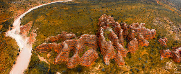
World Heritage Purnululu National Park (The Bungle Bungle), although a mere 250 km south of Kununurra, it was only discovered by the outside world in the early 1980s.

Sunbeam shining through the narrow rock walls of Echidna Chasm on a person at the base.

Ranges and cliffs of the Kimberley in Western Australia

Views from Mirima National Park in Kununurra, Wester Australia

Mirima National Park in Kununurra, Western Australia

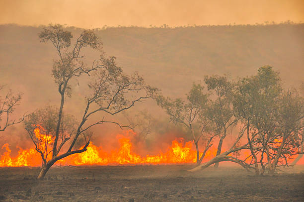
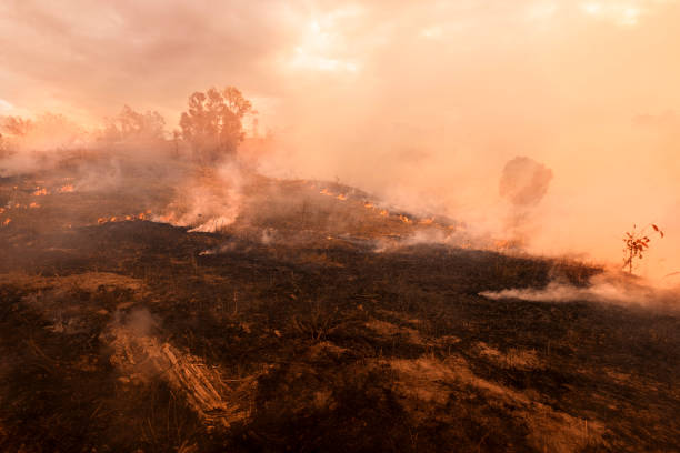
Australian outback bush fires

World Heritage Purnululu National Park (The Bungle Bungle), although a mere 250 km south of Kununurra, it was only discovered by the outside world in the early 1980s.

World Heritage Purnululu National Park (The Bungle Bungle), although a mere 250 km south of Kununurra, it was only discovered by the outside world in the early 1980s.

Ranges and cliffs of the Kimberley in Western Australia
Ranges and cliffs of the Kimberley in Western Australia

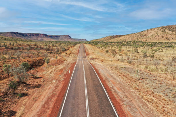
The Highway south of Kununurra is a great back drop
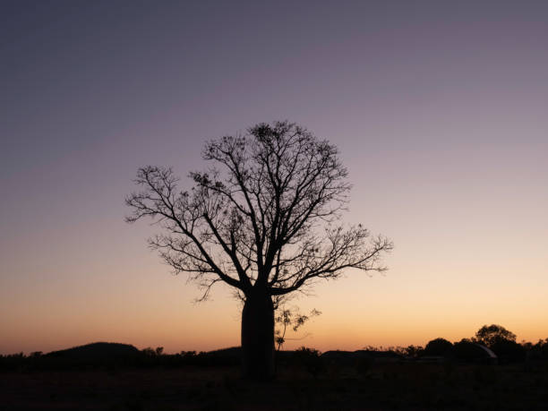
Single Boab tree at sunrise in the Kimberly Western Australia
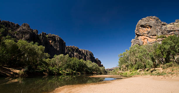
The opening of the famous Windjana Gorge in the remote Kimberley region of Western Australia. Windjana Gorge is home to one of th most concentrated populations of Freshwater Crocodiles in Australia.
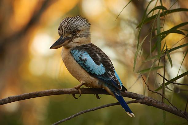
Kookaburra sitting on a branch in the bush - El Questro, Western Australia.

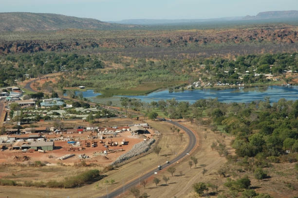
High angle view over rock formations and the remote Kimberley township of Kununurra

Kununurra, Australia - November 8, 2010. Offroad trucks parked at Ivanhoe Crossing and people swimming in river, Kununurra, Western Australia, Australia. A concrete causeway over Ord River.

Magpie geese in flight in the Kimberley

Mirima National Park in Kununurra, Western Australia

The Kimberley is the northernmost of the nine regions of Western Australia. It is bordered on the west by the Indian Ocean, on the north by the Timor Sea, on the south by the Great Sandy and Tanami Deserts in the region of Pilbara, and on the east by the Northern Territory.


A 4WD vehicle crossing the remote Pentecost River in Western Australia. This river crossing is one of the most photographed locations along the popular Gibb River Road 4WD route through the Kimberley.

Irrigation in Kununurra in the Pilbara Western Australia. Part of the Ord River scheme


Mirima National Park in Kununurra, Western Australia

The Western Australian town of Kununurra on the Ord river.

A single Livistona palm tree at the red rocks of Mini Palms Gorge.

The Kimberley is the northernmost of the nine regions of Western Australia. It is bordered on the west by the Indian Ocean, on the north by the Timor Sea, on the south by the Great Sandy and Tanami Deserts in the region of Pilbara, and on the east by the Northern Territory.

Aerial video of surroundings and cliffs in El Questro, the Kimberley, Western Australia

"Picturesque Jarnem Loop Walk in Keep River National Park in the remote western reaches of the Northern Territory. The beehive rock formations of Keep River are endemic to this region of Australia, and are also associated with the Bungle Bungle Range in nearby Purnululu National Park."


Termite mounds and Bee Hive formations at the Bungle Bungles in Western Australia

"A natural stone wall near Kununurra, Western Australia"

Lake Argyle is Western Australia's largest man-made reservoir by volume. The reservoir is part of the Ord River Irrigation Scheme and is located near the East Kimberley town of Ku

Lake Argyle is Western Australia's largest man-made reservoir by volume. The reservoir is part of the Ord River Irrigation Scheme and is located near the East Kimberley town of Ku


The Cockburn ranges near El Questro in Western Australia

Picturesque lake Argyle in Kimberley, Western Australia.

Next