Kuwait Desert Pictures, Images and Stock Photos
Browse 470+ kuwait desert stock photos and images available, or search for kuwait city to find more great stock photos and pictures.
Most popular
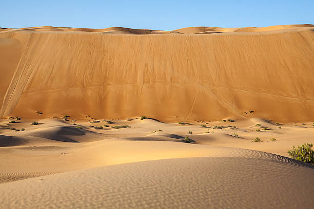
Desert Landscape showing a large Tsunami-like wall of sand showing the contrasts in desert topography.
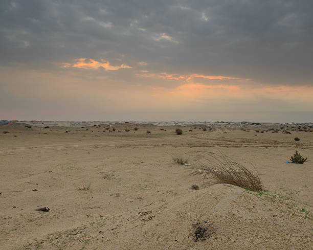
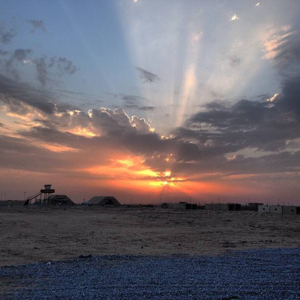
Sunset on a cloudy night in the desert, with tents in the distance, just off the Wafra road in Kuwait
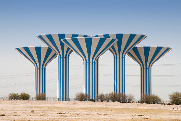
Kuwait watertowers (Mushroom tower group)
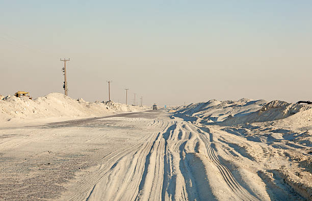
Industrial road in the desert of Kuwait, Middle East
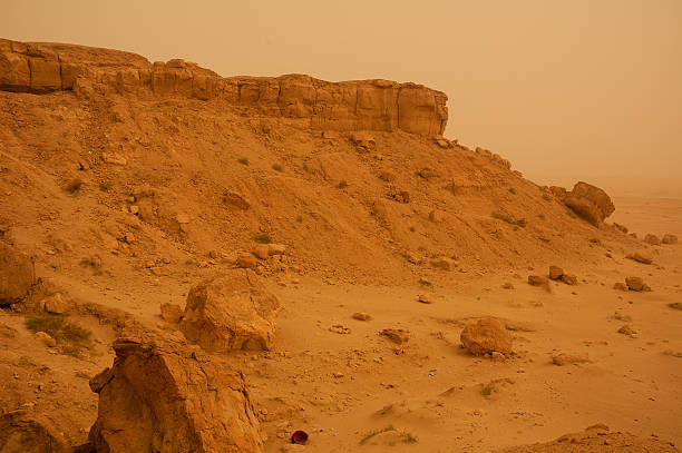
Desert in Kuwait City area. Kuwait City, Kuwait.

3D Render of a Topographic Map of Kuwait City, Kuwait, Middle East. Contains modified Copernicus Sentinel data (September 28, 2016) courtesy of ESA. Relief texture SRTM data courtesy of NASA. URL of source images:
3D Render of a Topographic Map of Kuwait City, Kuwait, Middle East. Contains modified Copernicus Sentinel data (September 28, 2016) courtesy of ESA. Relief texture SRTM data courtesy of NASA. URL of source images:
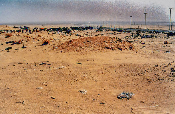
The series of images were taken in the War Zone of Kuwait by Desmond Stagg just after Desert Storm (17 January 1991 – 28 February 1991) had taken place. I cannot remember the exact date and time when I took the pictures but it was sometime in 1991. The images show the remains of war equipment left by the Iraqis on their hasty retreat back to Irak. Untold amounts of weapons, grenades, tanks, howitzers, vehicles as well as ammunition were left abandoned in the desert. Nearly all the ammunition was still live and dangerous. The date created, below is the date the images were processed. They have remained on my hard disk since the end of Desert Storm. Up until now they are unpublished. In some of the images the sky was grey from the smoke covering the blue sky and sunshine. This was caused by the fires at the oil wells the invading troops had set. Image #14 shows the spillage of oil caused by the supply lines being opened allowing the oil to escape and soil the desert ground.
Bedouin, derived from the Arabic badawī ( بدوي), a generic name for a desert-dweller, is a term generally applied to Arab nomadic pastoralist groups, who are found throughout most of the desert belt extending from the Atlantic coast of the Sahara via the Western Desert, Sinai, and Negev to the Arabian Desert. So they were reside in all related countries like Yemen, United Arab Emirates, Qatar, Lebanon, Kuwait, Bahrain, Israel, Palestine, Oman, Saudi Arabia, Tunisia, Morocco, Libya, Egypt, Algeria, Syria, Jordan and Iraq.

A lonely soldier's boot left on the battlefield in Kuwait. Ther is no body so one can assume he didn't make it.

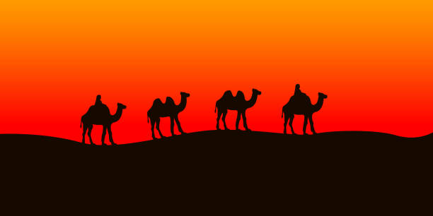
Camel caravan going in the Sahara desert. Vector illustration.
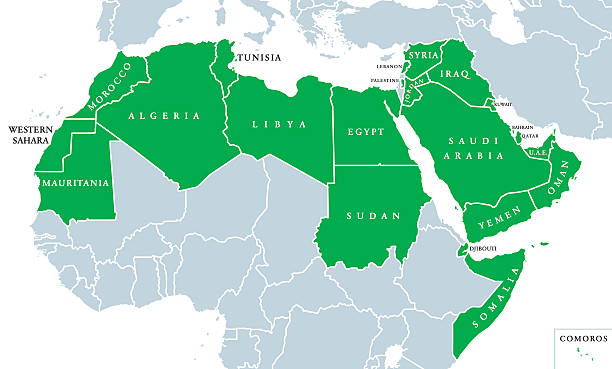
Arab World political map, also called Arab nation, consists of twenty-two arabic-speaking countries of the Arab League. All nations in green color, plus Western Sahara and Palestine. English labeling.
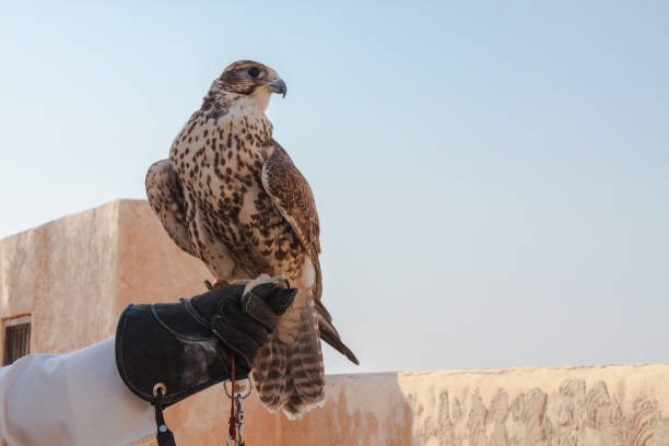
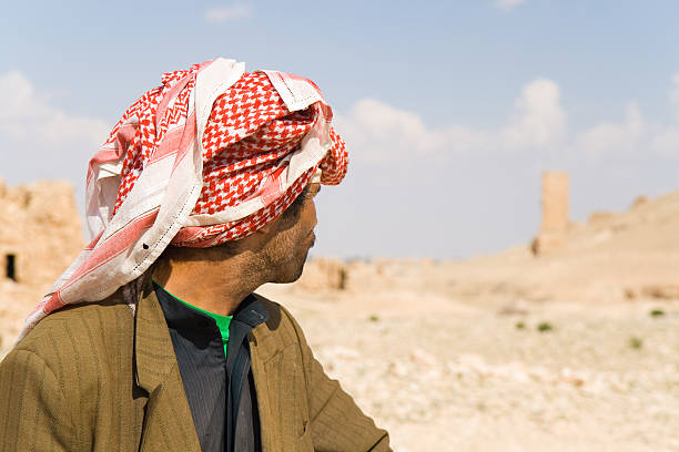
man holding his falcon before using it to hunt birds and rabbits on the desert.
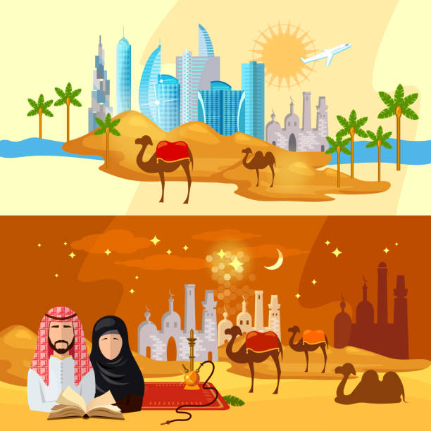
Muslims banners tradition and culture Arab countries vector illustration
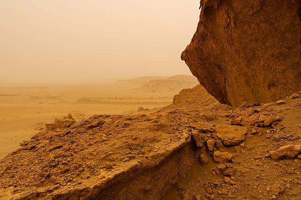
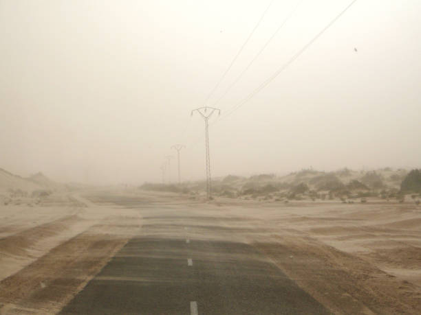
Sandstorm at Mutla, Kuwait

Desert camp at the Moreeb Dune in Liwa Oasis area. Emirate of Abu Dhabi, United Arab Emirates, Middle East
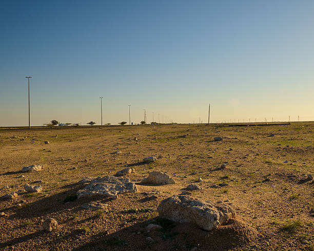
Rocks in the desert by the Salmi road in Kuwait on a very cold winter's morning

3D Render of a Topographic Map of Kuwait. Version with Country Boundaries. All source data is in the public domain. Color texture: Made with Natural Earth. http://www.naturalearthdata.com/downloads/10m-raster-data/10m-cross-blend-hypso/ Color Texture: Contains modified Copernicus Sentinel data (Feb 2021) courtesy of ESA. URL of source image: https://scihub.copernicus.eu/dhus/#/home. Relief texture: NASADEM data courtesy of NASA JPL (2020). URL of source image: https://doi.org/10.5067/MEaSUREs/NASADEM/NASADEM_HGT.001 Water texture: SRTM Water Body SWDB: https://dds.cr.usgs.gov/srtm/version2_1/SWBD/ Boundaries Level 0: Humanitarian Information Unit HIU, U.S. Department of State (database: LSIB) http://geonode.state.gov/layers/geonode%3ALSIB7a_Gen

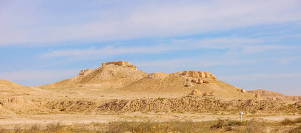
Al Zumerida Kuwait.

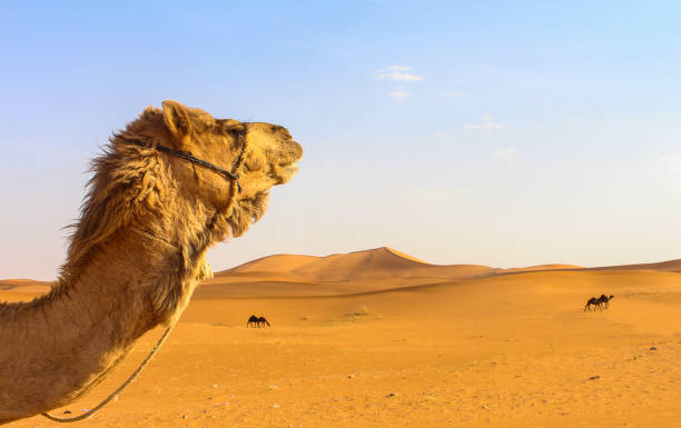
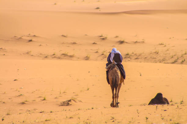
Camels in rural Kuwait. Kuwait City, Kuwait.
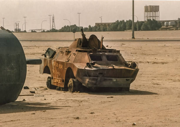
The series of images were taken in the War Zone of Kuwait by Desmond Stagg just after Desert Storm (17 January 1991 – 28 February 1991) had taken place. I cannot remember the exact date and time when I took the pictures but it was sometime in 1991. The images show the remains of war equipment left by the Iraqis on their hasty retreat back to Irak. The date created, below is the date the images were processed. They have remained on my hard disk since the end of Desert Storm. Up until now they are unpublished.


Plantation of date palms, agriculture industry in desert areas of the Middle East

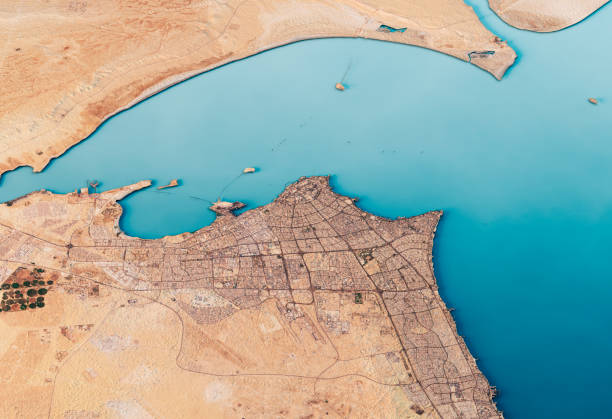
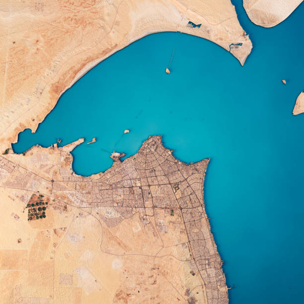
3D Render of a Topographic Map of Kuwait City, Persian Gulf.

Trenches along the Kuwaiti border.

Plantation of date palms, agriculture industry in desert areas of the Middle East
Detailed multicolor vector icon set appropriate for web and print applications. Designed in 192 x 192 pixel square with 2px editable stroke. Pixel perfect.
Kuwait sunset
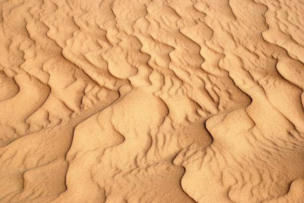
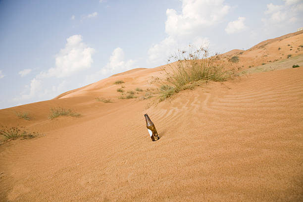
Wind formed beautiful temporary sand pattern in the desert. The sand looks like frozen waves.

A photo of a map of Iraq and Iran.


Plantation of date palms, Middle East, agriculture industry in desert areas and signs of Global Warming

Iran region from Earth's orbit in space during sunrise. 3D illustration with highly detailed realistic planet surface. 3D model of planet created and rendered in Cheetah3D software, 8 Mar 2017. Some layers of planet surface use textures furnished by NASA, Blue Marble collection: http://visibleearth.nasa.gov/view_cat.php?categoryID=1484


Camel Crossing: Beware of loose camels near the camel race track as they trot by near cars and down the side of the road in the UAE.


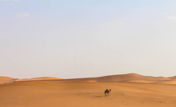
Group of camels walking in desert in Kuwait


Tradition and culture in muslim countries banner muslims in the desert arab culture vector illustration

Field with seeds and young plants of corn covered by plastic film against wild birds. Advanced agriculture industry in desert areas of the Middle East


Traditional Garden of Deriyah in Riyadh city.

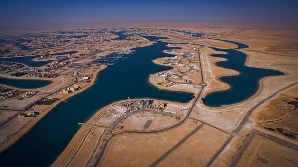
State of Kuwait, March 2020. OPEC and Russia disagreement brings uncertainty to the economy of the oil exporters in the Persian Gulf. An areal view of an empty oil tanker terminal and a refinery near the Kuwait's capital.

3D Render of a Topographic Map of Kuwait City, Persian Gulf.


Creative vector illustration of oil pump industry silhouette, field pumpjack, rig drill over sunset isolated on background. Art design template. Abstract concept graphic equipment element.

The Jerboa is a medium sized rodent with kangaroo like legs. Found across North Africa and the Middle East. They are considered a food source in some cultures.

Kuwait water towers also known as Mushroom tower group.
Next