Kyushu Pictures, Images and Stock Photos
Browse 128,300+ kyushu stock photos and images available, or search for kyushu japan or kyushu university to find more great stock photos and pictures.
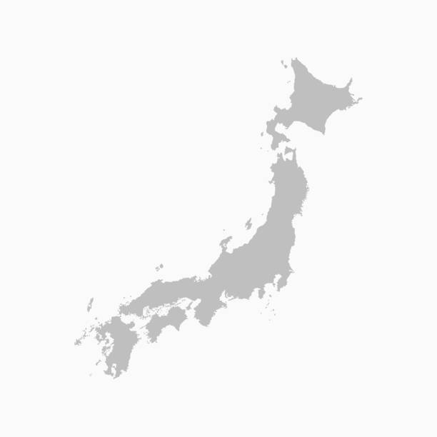
japan region vector map.

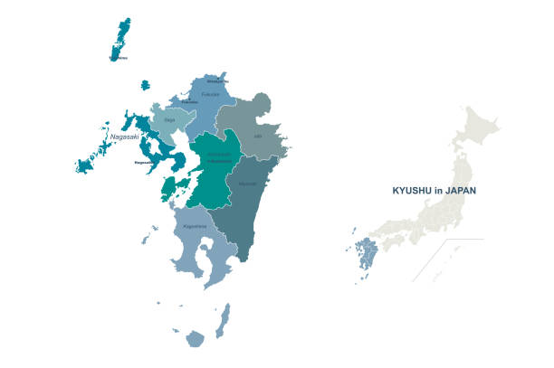
High Quality map of Kyushu is a region of Japan

Kagoshima, Japan with Sakurajima Volcano.
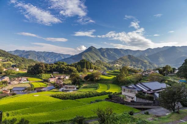
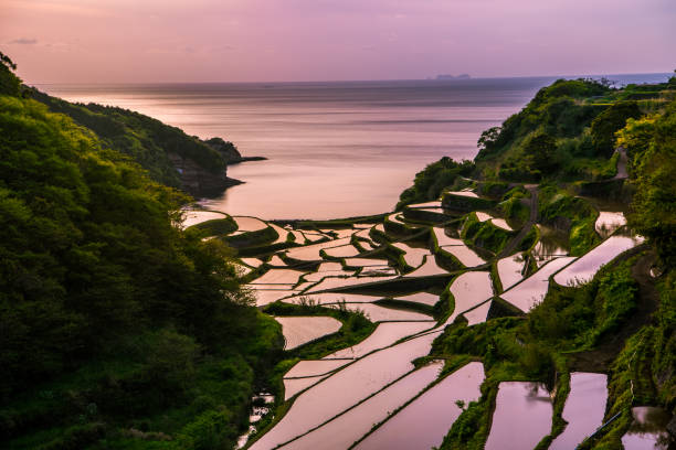
Agriculture village in Takachiho, Miyazaki, Kyushu
An aerial view over islands with beautiful water and reef surrounding them. From the Kerama island chain in Okinawa, Japan.

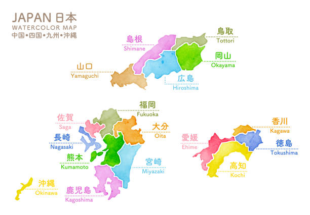
Japan Kyushu region map with watercolor texture / translation of Japanese "Kyushu Map" "Watercolor"
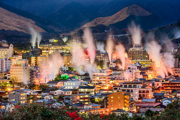
Beppu, Japan cityscape with hot spring bath houses with rising steam.
japan region map. vector map of japan provinces.
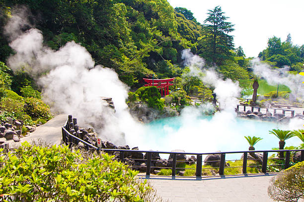
One of the eight hells (Jigoku), multi-colored volcanic pool of boiling water in Kannawa district in Beppu, Japan.
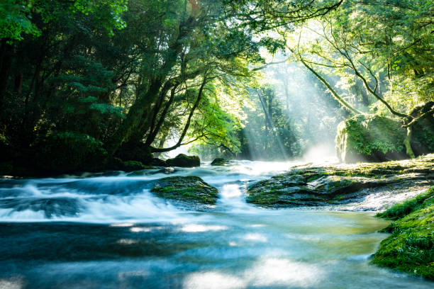
Kikuchi Valley, Kumamoto Japan.Kusasenri, Aso Kumamoto Japan.Kusasenri, Aso Kumamoto Japan.
Japan map graphic vector - Separated isolated regions and prefecture provinces for design work or info graphic education and geography
Map of Kyushu for your own design. Four maps with editable stroke included in the bundle: - One black map on a white background. - One blank map on a black background. - One white map with shadow on a blank background (for easy change background or texture). - One line map with only a thin black outline (in a line art style). The layers are named to facilitate your customization. Vector Illustration (EPS10, well layered and grouped). Easy to edit, manipulate, resize or colorize. Vector and Jpeg file of different sizes.

Kyushu map. southernmost of the four main islands of Japan. brush stroke line.

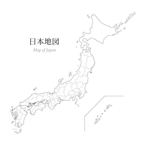
Map of Japan, a blank map, an outline map / translation of Japanese "Map of Japan"


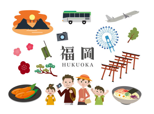
Map of Fukuoka Prefecture Green Illustration.
An aerial view looking down over beautiful Iheya island, Okinawa

Aharen Beach on Tokashiki Island in Okinawa, Japan.

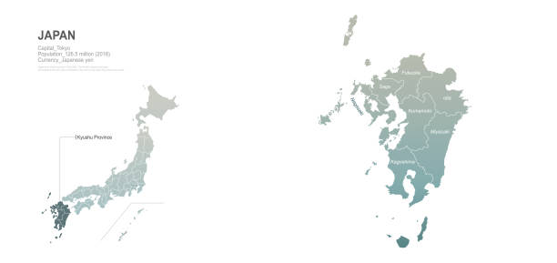
High Quality map of Kyushu is a region of Japan, with borders of the prefectures

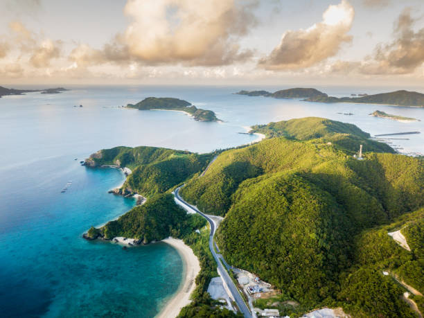
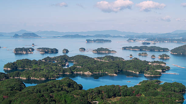
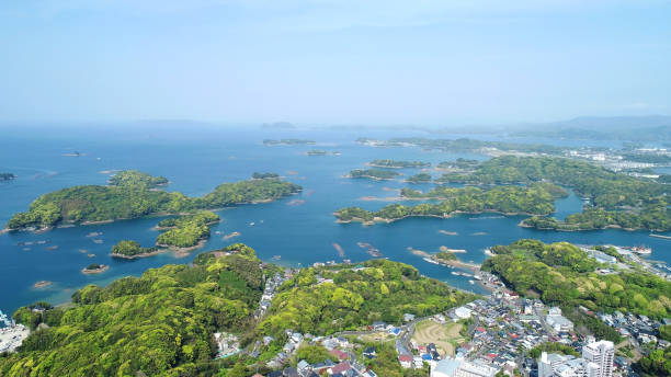
Beautiful bird's-eye view of a seascape of the Kujkushima islands that lie off sasebo famous for its saw-toothed coast with multiple islets part of Saikai National Park in Kyushu.

Winding road in Aso, Japan
Vector illustration

A sunrise view of the Pacific Ocean from the east coast area of Ishigaki Island, Okinawa Perfecture

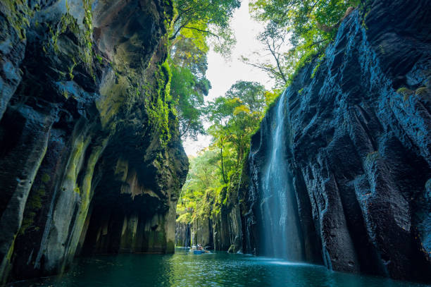
View of Takachiho Gorge, a beautiful autumn canyon
Clear ocean. Viewpoint from directly above.
Nagasaki Sasebo: A City of the Seas

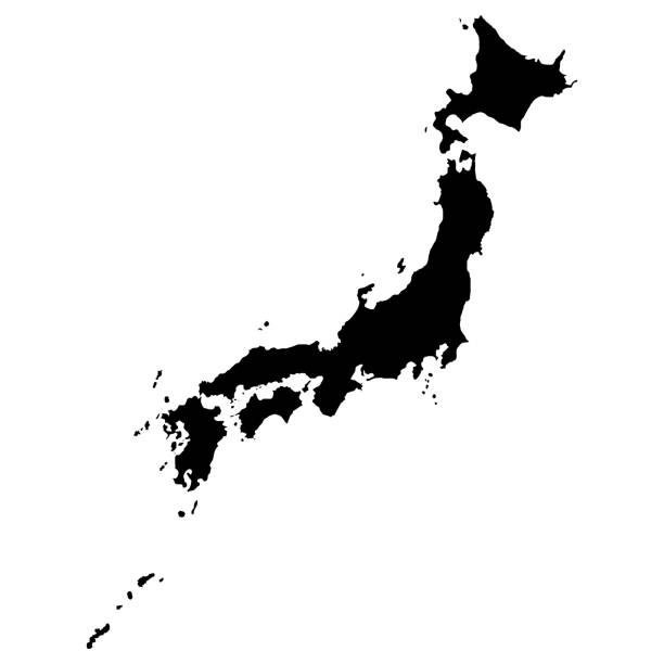
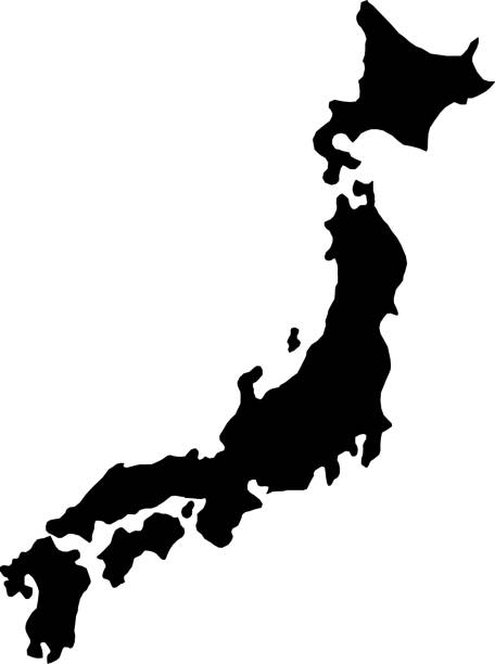
Map of Japan in high resolution. Detailed vector illustration.

Japan space map. Elements of this image furnished by NASA. 3d rendering

Sakurajima is the most famous active volcano in Japan.
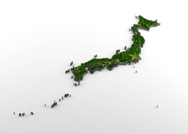
3D rendering of extruded high-resolution physical map (with relief) of Japan, isolated on white background. Modeled and rendered with Houdini 16.5 Satellite image from NASA: https://visibleearth.nasa.gov/view.php?id=74092
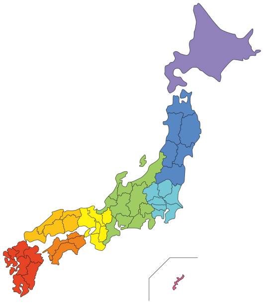
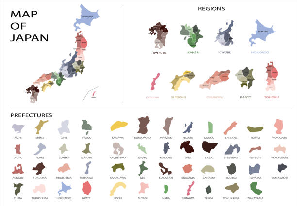
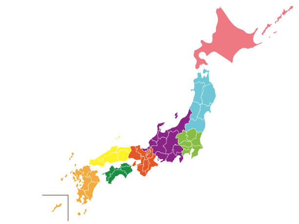
Map of Japan (color-coded by region)

Renewable Energy Image Photo

View of Beppu and train
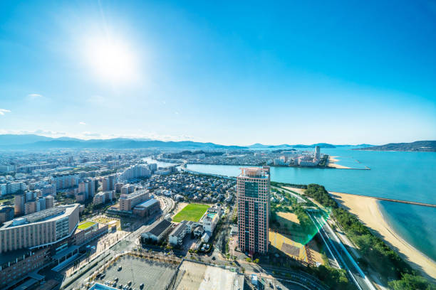
Asia Business concept for real estate and corporate construction - panoramic urban townscape aerial view of beach park under bright blue sky and sun in Fukuoka Japan

The Takachiho Gorge (Takachiho-kyo, 高千穂峡) on the island of Kyushu, Japan.

Japan Kyushu region map with watercolor texture / translation of Japanese "Kyushu Map" "Watercolor"
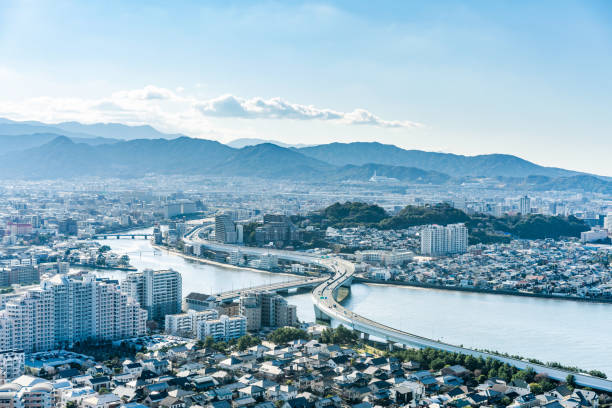
Asia Business concept for real estate and corporate construction - panoramic urban townscape aerial view under bright blue sky and sun in Fukuoka Japan
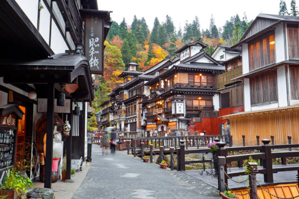
Many tourists come to this village in autumn for fall foliage scene with the ancient town.
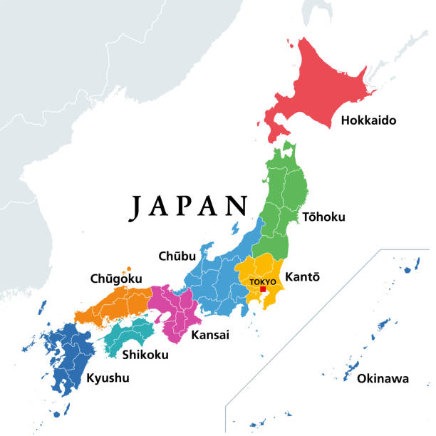
The eight regions of Japan, political map. Traditional units, multicolored and used for statistical and other purposes. Hokkaido, Tohoku, Kanto, Chubu, Kansai, Chugoku, Shikoku, Kyushu and Okinawa.

Vector illustration.Original paintings and drawing.
High detailed vector Japan country outline border map isolated on background. State template japanese islands trip pattern, report, infographic, backdrop. Asia nation business silhouette sign concept.

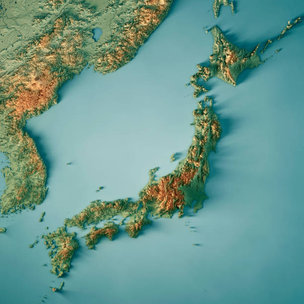
3D Render of a Topographic Map of Japan. All source data is in the public domain. Color texture: Made with Natural Earth. http://www.naturalearthdata.com/downloads/10m-raster-data/10m-cross-blend-hypso/ Boundaries Level 0: Humanitarian Information Unit HIU, U.S. Department of State (database: LSIB) http://geonode.state.gov/layers/geonode%3ALSIB7a_Gen Relief texture and Rivers: SRTM data courtesy of USGS. URL of source image: https://e4ftl01.cr.usgs.gov//MODV6_Dal_D/SRTM/SRTMGL1.003/2000.02.11/ Water texture: SRTM Water Body SWDB: https://dds.cr.usgs.gov/srtm/version2_1/SWBD/

Map of Kyushu created with round blue dots on a blank background. Modern and trendy mosaic illustration. Vector Illustration (EPS10, well layered and grouped). Easy to edit, manipulate, resize or colorize.
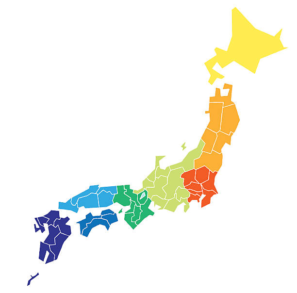
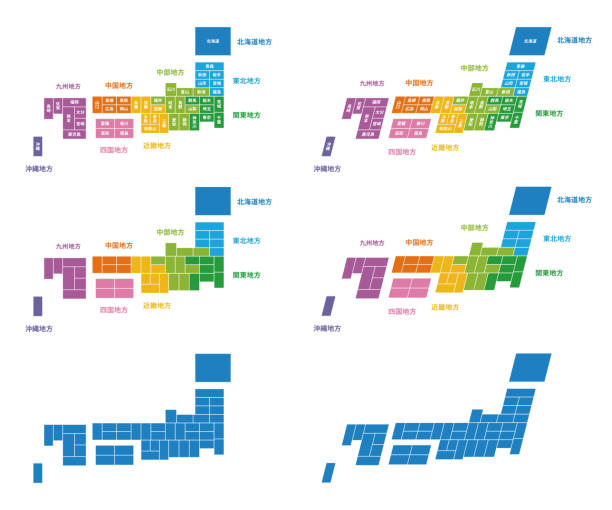
Japanese map divided by color region
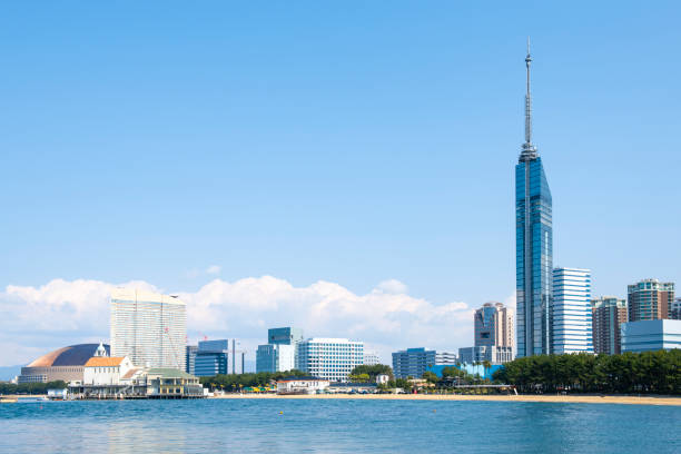

Fukuoka city skyline vector illustration poster

This is a summer scenery in Aso highland in Kumamoto prefecture, Japan. Aso highland is well known as a tourist destination in this prefecture.

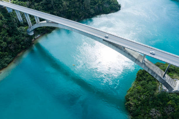
View from Ikei Ohashi Bridge connecting Miyagi Island and Ikei Island, Okinawa Prefecture
Next