Latin America Map Pictures, Images and Stock Photos
Browse 108,700+ latin america map stock photos and images available, or search for latin america map icon or latin america map vector to find more great stock photos and pictures.
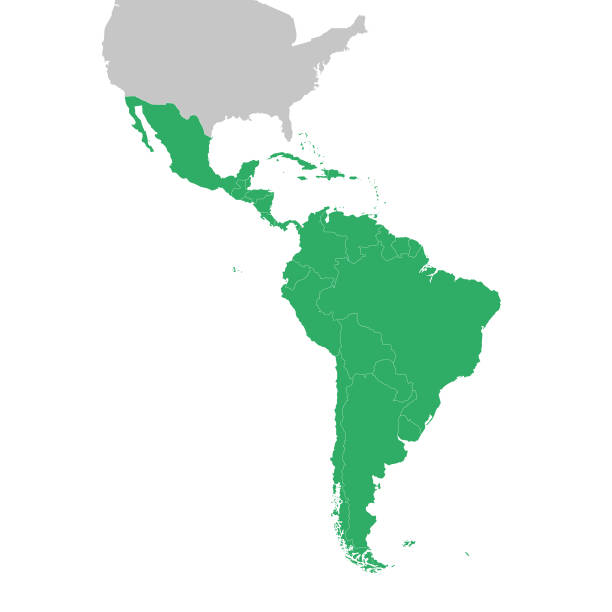
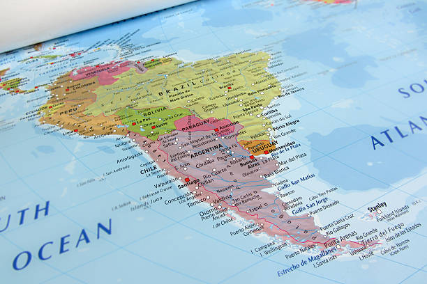
Latin America map, North America, Caribbean, Central America, South America.

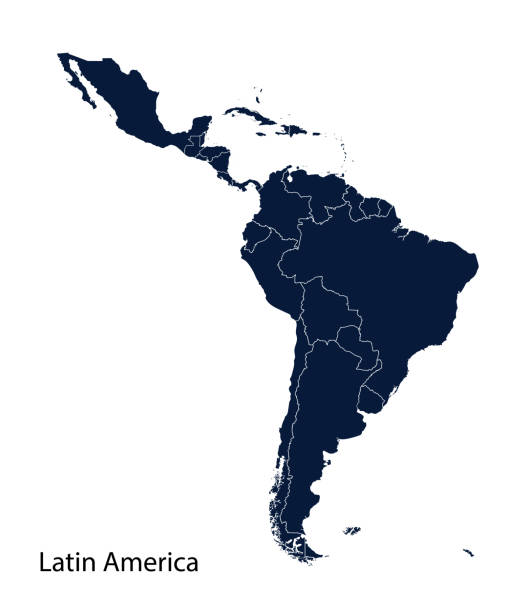
Latin America dark silhouette map isolated on white background
This vector illustration uses squares to create a detailed map of Latin America. The EPS 10 file is easy to colour and customise if required and can be scaled to any size without loss of quality, making it an ideal design element for your project.
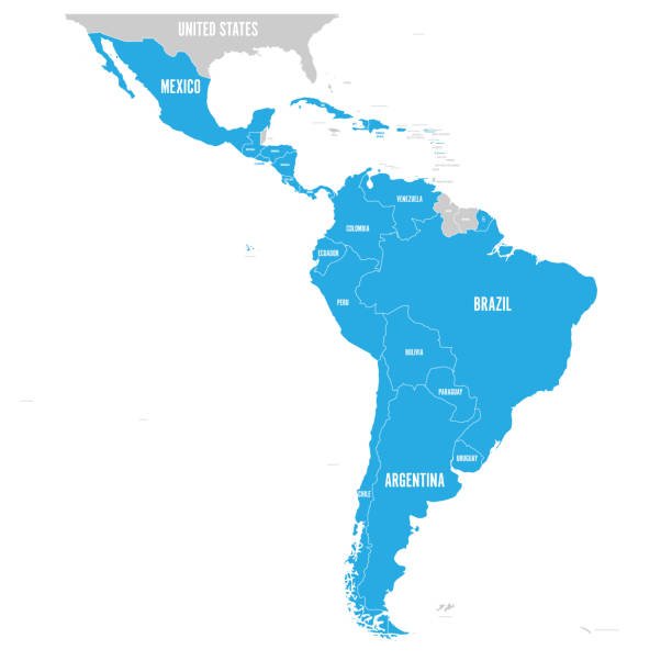
Political map of Latin America. Latin american states blue highlighted in the map of South America, Central America and Caribbean. Vector illustration.
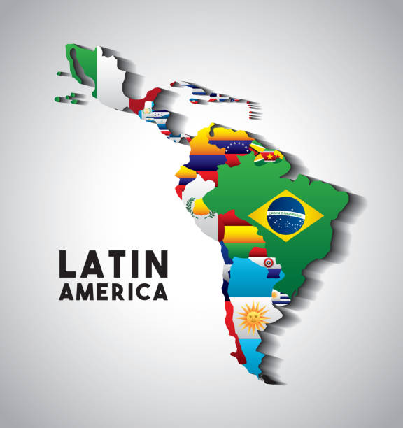
Map of Latin America with the flags of countries. colorful design. vector illustration
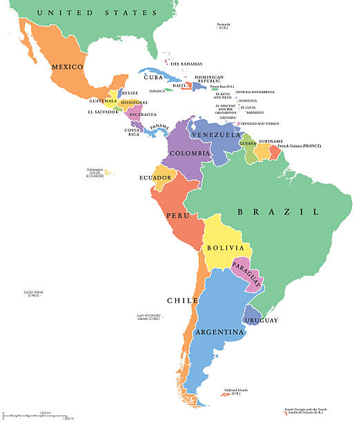
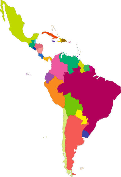
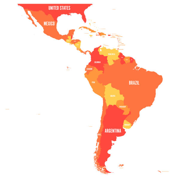
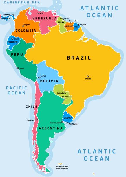
Latin America single states political map. Countries in different colors, with national borders and English country names. From Mexico to the southern tip of South America, including the Caribbean.
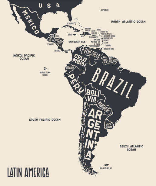
Map Latin America. Poster map of Latin America. Black and white print map of Latin America for t-shirt, poster or geographic themes. Hand-drawn graphic map with countries. Vector Illustration
South America on a continental map

High quality 3D rendered image, perfectly usable for topics related to big data, global networks, international flight routes or the spread of a pandemic / computer virus. Special focus on Brazil and the USA. Textures courtesy of NASA: https://visibleearth.nasa.gov/images/55167/earths-city-lights, https://visibleearth.nasa.gov/images/73934/topography

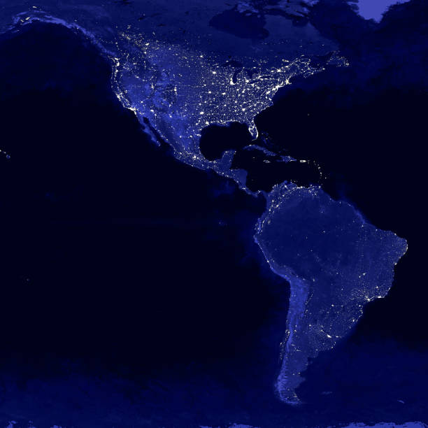
City lights of South America continents at night from outer space 3D rendering illustration. Earth map texture provided by Nasa Earth map texture provided by Nasa from https://visibleearth.nasa.gov/collection/1484/blue-marble?page=2.. Energy consumption, electricty, industry, power supply, ecology concepts.

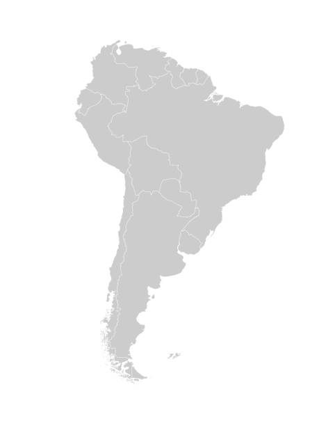
Map of South America with countries and borders. Vector illustration.
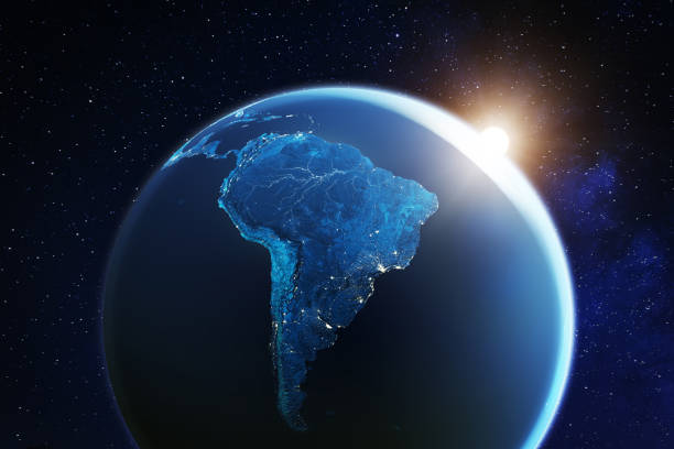
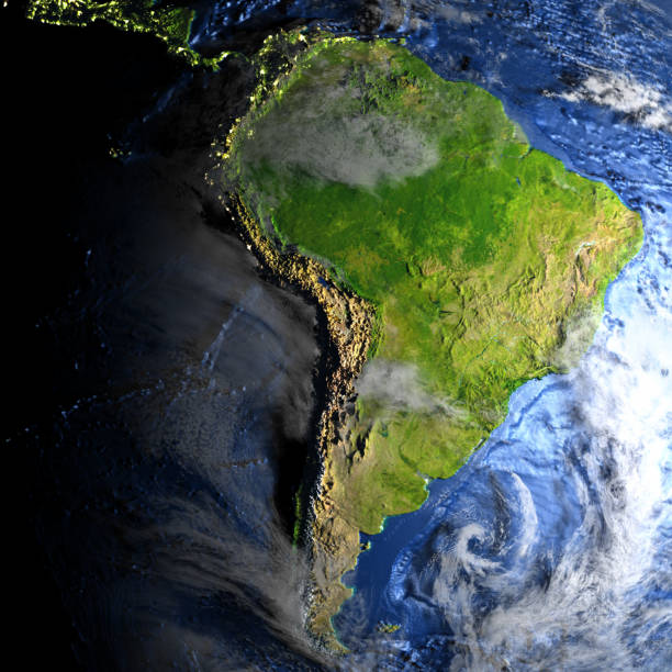
South America viewed from space with sunrise on planet Earth and stars, overview of Amazon river and forest, night lights from cities in Brazil, Argentina, Chile, Peru, map elements from NASA, 8k (https://eoimages.gsfc.nasa.gov/images/imagerecords/57000/57752/land_shallow_topo_2048.jpg)
Vector highly detailed political map of Latin America and their capitals. All elements are separated in editable layers clearly labeled. EPS 10

South America on Planet Earth view from space with continents outlines abstract background. Globalization, connection concept. Low poly wireframe, lines and dots glowing design. Vector illustration.
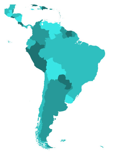
Political map of South America. Simple flat blank vector map in four shades of turquoise blue.
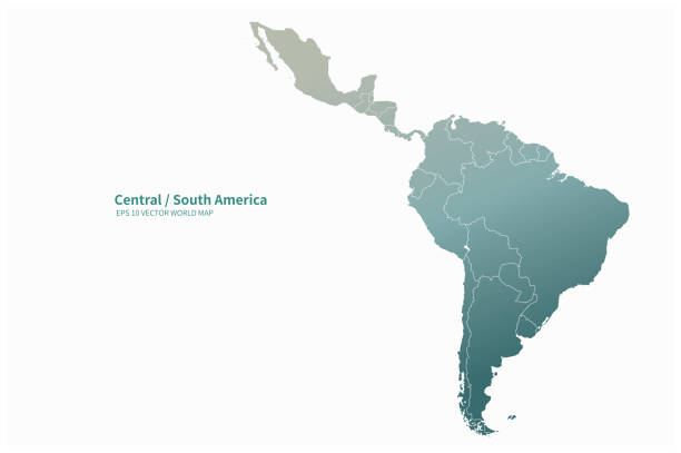
Map of South America and Central America. Vector illustration in HD very easy to make edits.
Map of South America with flags. Digitally generated 3d image. Isolated on white background.

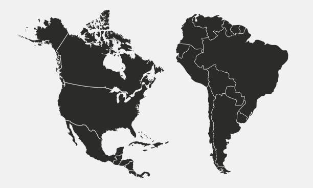
Low poly map of North and South Americas on blue background.
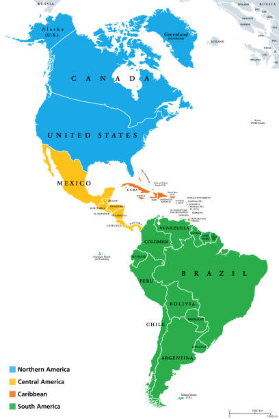
The Americas, geoscheme and political map. The North American subregion with intermediate regions Caribbean, Northern and Central America, and the subregion South America. Subdivisions for statistics.
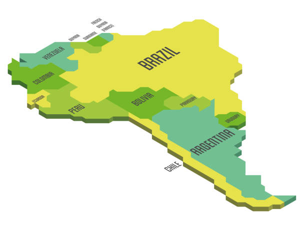
Isometric political map of South America. Colorful land with country name labels on white background. 3D vector illustration
Americas map. Vector
Map of Latin America. Vector illustration in shades of orange.
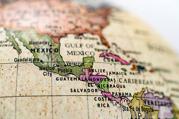
Close-up of Mexico in the colorful world map.

latin america map icon over white background. colorful design. vector illustration
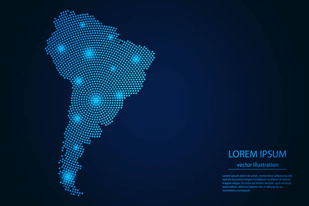
Abstract image South America map from point blue and glowing stars on a dark background. Vector Illustration.
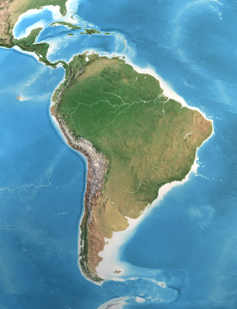
Physical map of South and Central America, with high resolution details. Satellite view of Planet Earth. 3D illustration (Blender software), elements of this image furnished by NASA (https://eoimages.gsfc.nasa.gov/images/imagerecords/147000/147190/eo_base_2020_clean_3600x1800.png)

Vector illustration

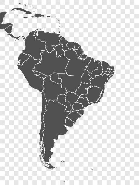
Vector illustration with map of South America continent and part of Central America. Grey silhouettes, white grey background. Text with names of independent states

South America on Planet Earth view from space with continents outlines abstract background. Globalization, connection concept. Low poly wireframe, lines and dots glowing design. Vector illustration.

South America 3D Render of the Planet Earth. Made with Natural Earth. URL of source data: http://www.naturalearthdata.com

Vector maps of the South America with variable specification and icons

White dotted 3d earth world map globe in black background. Vector illustration.
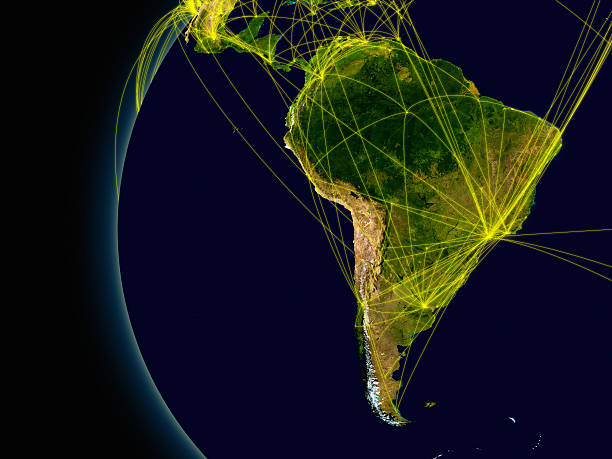
South America viewed from space with connections representing main air traffic routes. Elements of this image furnished by NASA.

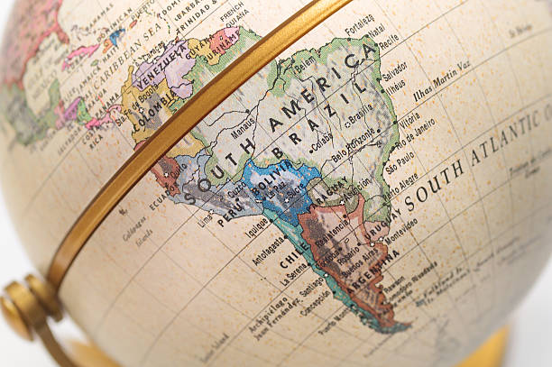
Macro of a recycled glass marble globe with internal bubbles and surface imperfections and shallow depth of field showing south america.
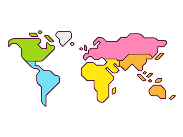
Simplified world map infographic with continents in different color. Modern flat vector style illustration.
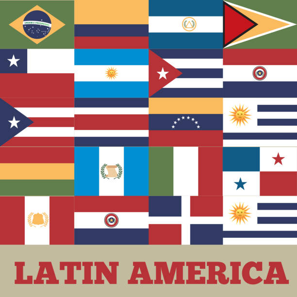
flags of latin america countries. colorful design. vector illustration
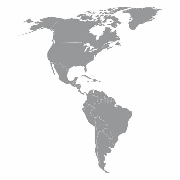
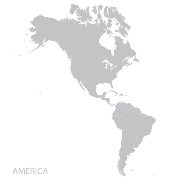
Illustration of a gray North and South America map
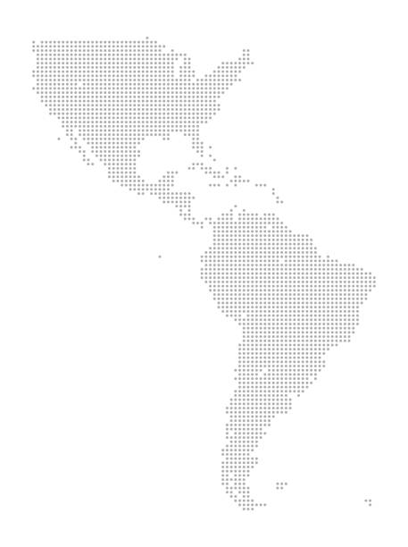
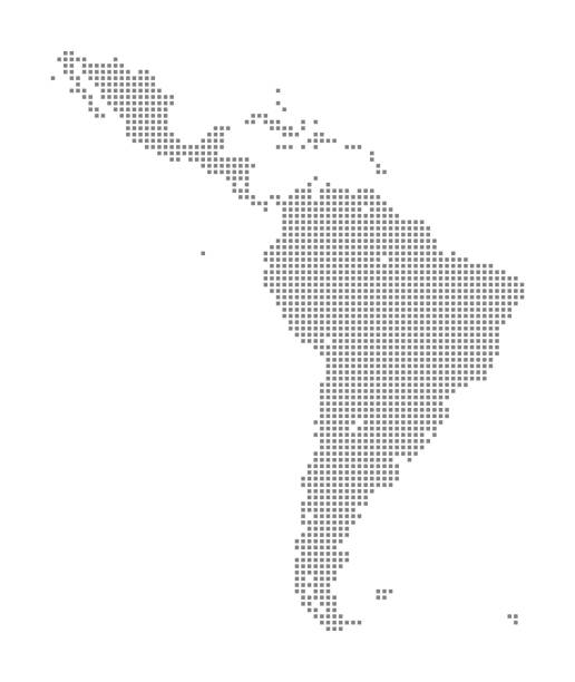
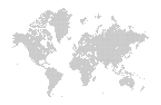
This detailed map illustration using dots is an ideal design element for your project. Easy to color and customize if required, it can be scaled to any size without loss of quality.

Planet earth made of glowing blue dots over black background. South America in focus. horizontal composition with copy space.
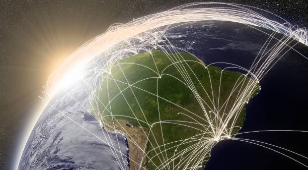
South America with network representing major air traffic routes. Elements of this image furnished by NASA.
South America political division map - vector illustration.

Vector illustration of South America map
This vector illustration uses squares to create a detailed world map. The EPS 10 file is easy to colour and customise if required and can be scaled to any size without loss of quality, making it an ideal design element for your project.

The continent of South America.
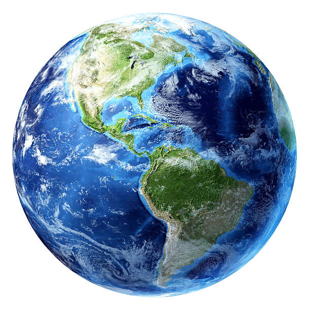
Planet earth with some clouds. America's view.

Globe - Navigational Equipment, Technology, World Map, Digital Display, Planet Earth
South America on 3D model of Earth. 3D illustration with plastic planet surface and ocean floor and visible city lights. 3D model of planet created and rendered in 9 Mar 2017. Some layers of planet surface use textures furnished by NASA, Blue Marble collection: http://visibleearth.nasa.gov/view_cat.php?categoryID=1484

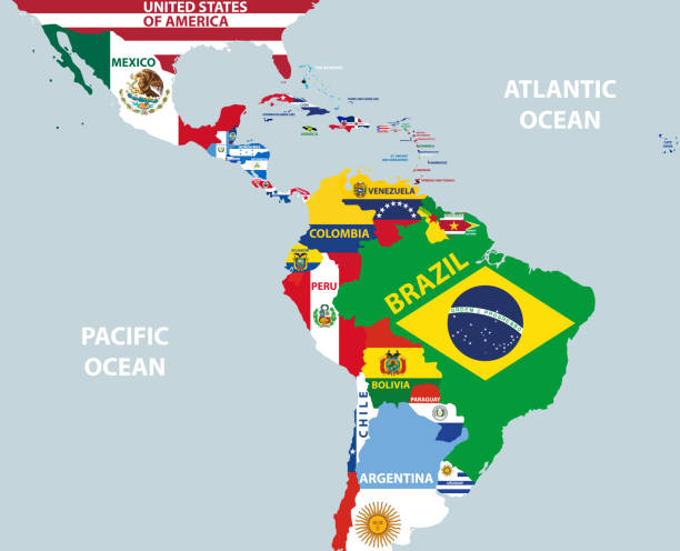
Latin America countries political map with national borders. Countries from the northern border of Mexico to the southern tip of South America, including the Caribbean. English labeling. Illustration.
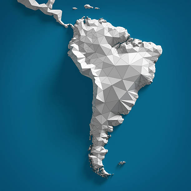
Map of South America made in polygonal style
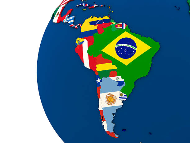
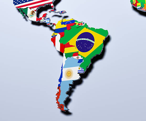
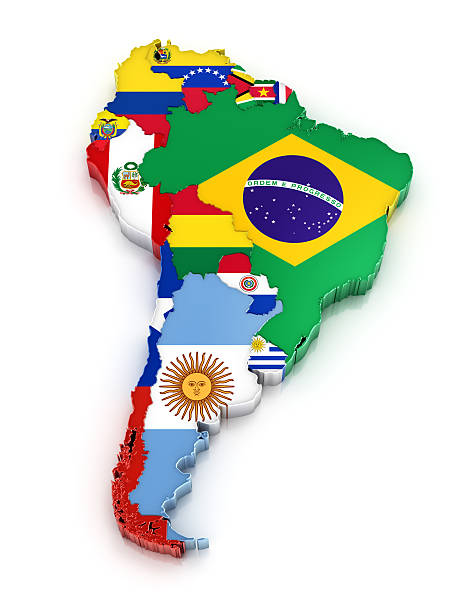
Political map of south America with each country represented by its national flag. 3D Illustration.

South America 3D Render of the Planet Earth with Clouds. Made with Natural Earth. URL of source data: http://www.naturalearthdata.com Cloud data courtesy of NASA. URL of source image: https://visibleearth.nasa.gov/view.php?id=57747 The source data is in the public domain.
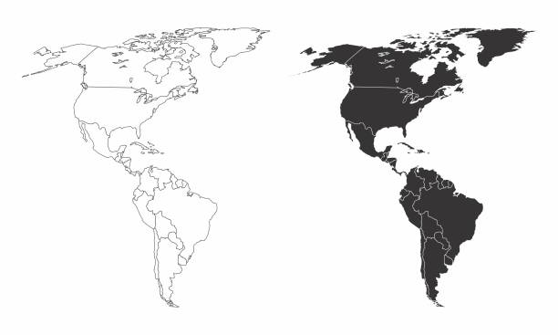
Simplified maps of the americas with countries boundaries. Black and white outlines.
Next