London England Map Pictures, Images and Stock Photos
Browse 8,700+ london england map stock photos and images available, or start a new search to explore more stock photos and images.
Most popular
Detailed accurate map of London in high resolution. Vector illustration.
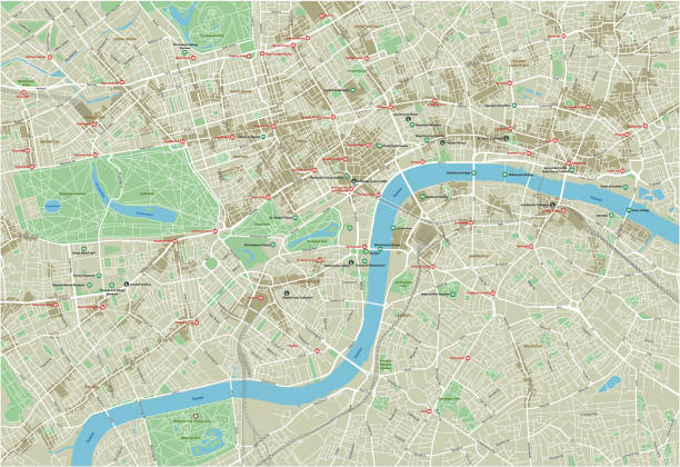
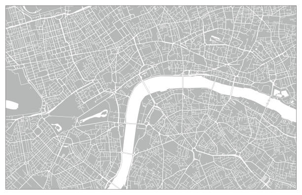
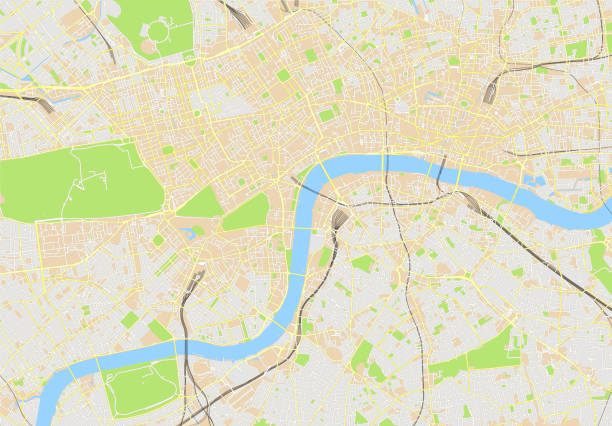
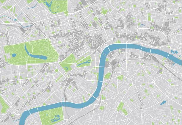
London city map. Map data © OpenStreetMap contributors.
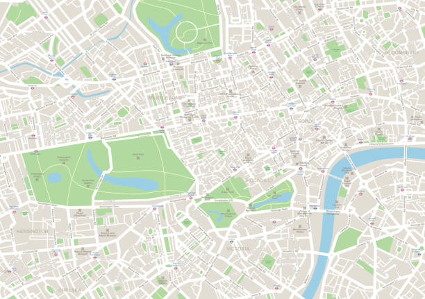
Highly detailed vector map of London - illustration
Vector poster map city London detailed plan of the city, rivers and streets
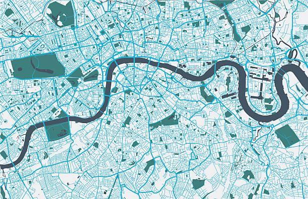
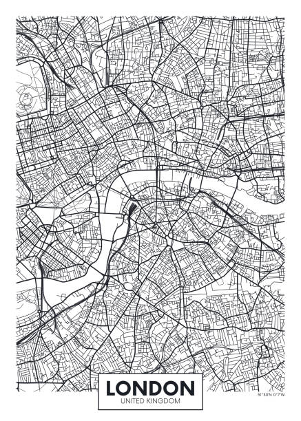
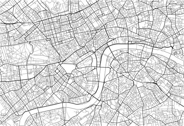
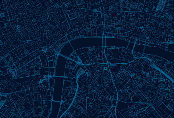
Topographic / Road map of London, England. Original map data is open data via © OpenStreetMap contributors
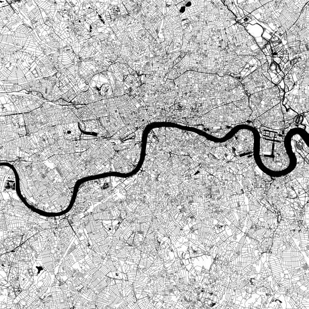
Topographic / Road map of London, England. Original map data is open data via © OpenStreetMap contributors
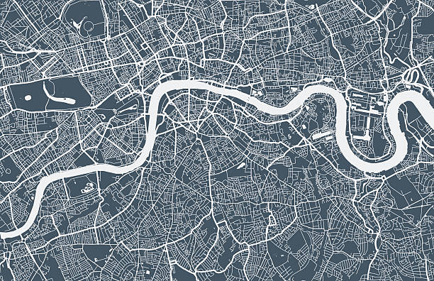
London city map. Map data © OpenStreetMap contributors.

Map of London.
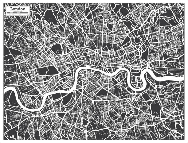
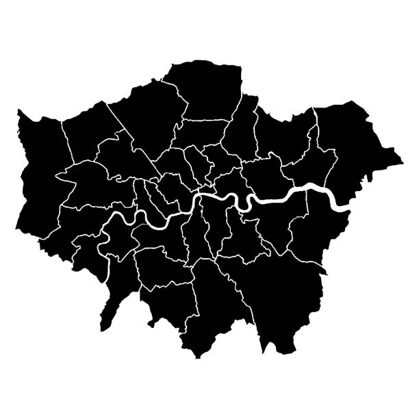
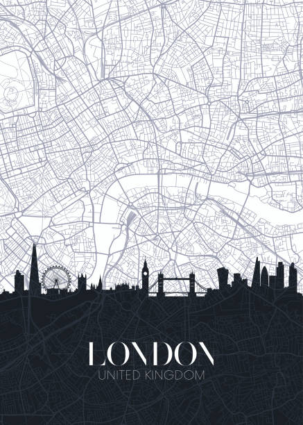
London UK City Map in Black and White Color in Retro Style. Outline Map. Vector Illustration.
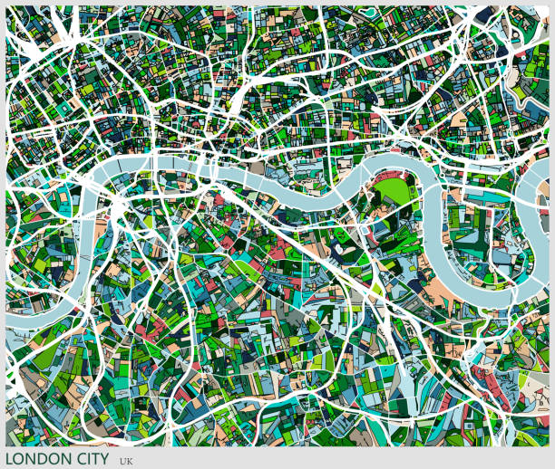
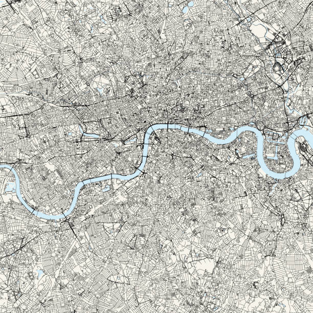
Highly detailed vector map of London. It's includes: - streets - parks - names of subdistricts - points of interests


Gately’s Universal Educator Educational Cyclopedia - Washington 1886
Encyclopedia Britannica 9th Edition Vol II New York, Samuel Hall 1878

London city map. Map data © OpenStreetMap contributors.
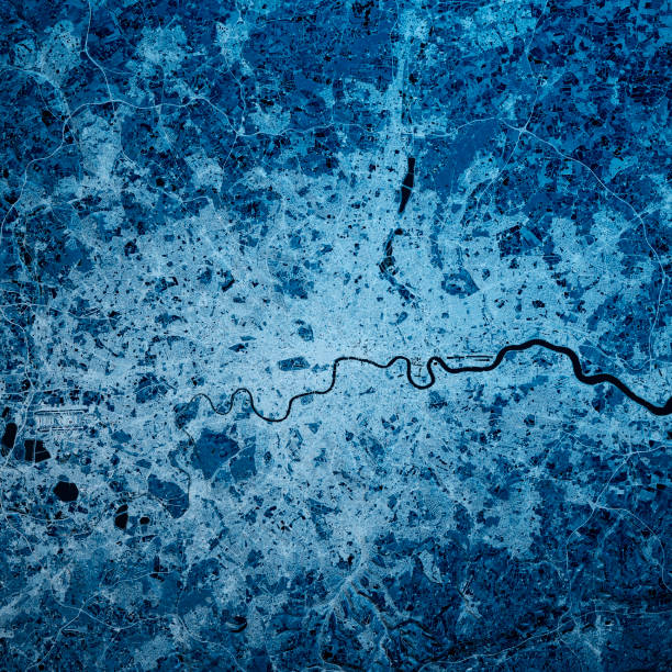
3D Render of a Topographic Map of the Greater London area, England, UK. All source data is in the public domain. Contains modified Copernicus Sentinel data (Feb 2019) courtesy of ESA. URL of source image: https://scihub.copernicus.eu/dhus/#/home. Relief texture SRTM data courtesy of NASA. URL of source image: https://search.earthdata.nasa.gov/search/granules/collection-details?p=C1000000240-LPDAAC_ECS&q=srtm%201%20arc&ok=srtm%201%20arc
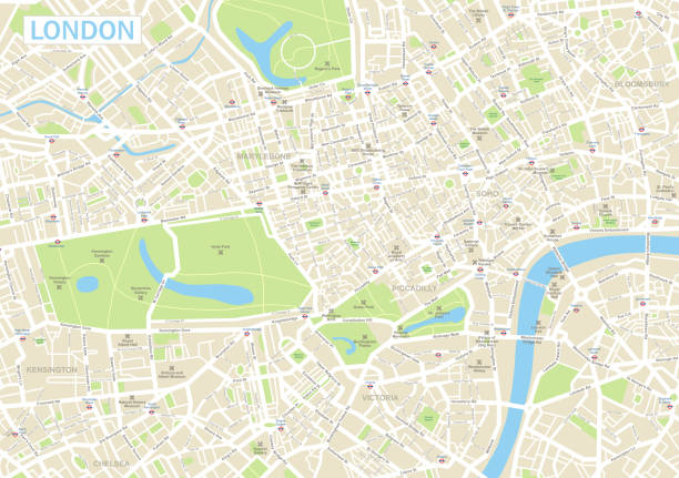
Geographical/Road map of London, UK

High Quality map is a ceremonial county of England. Greater London

London England City Map in Retro Style. Outline Map. Vector Illustration.

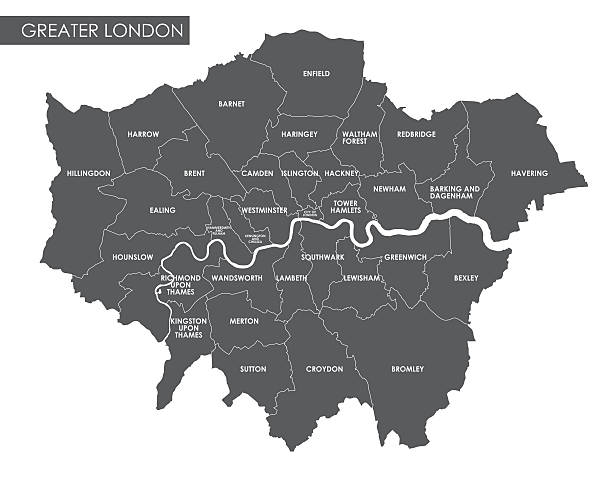
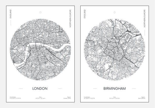
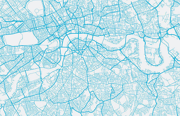
Vector map of Greater London with named districts and location on British map
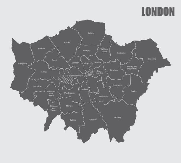
A London map divided into regions with labels
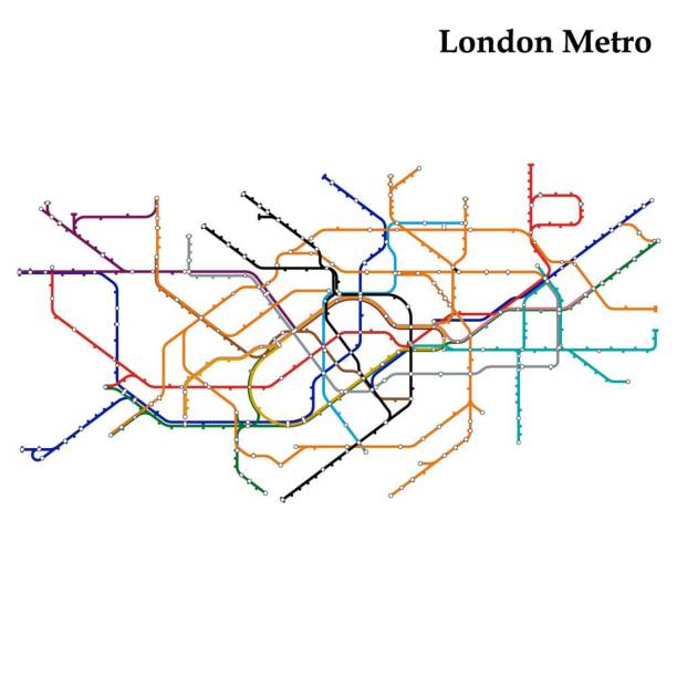
Map of London metro, Template of city transportation scheme for underground road. Vector illustration.


Futuristic travel GPS map or location navigator, navigate mapping technology and final destination on the streets of the city London, high tech vector background


Happy woman sightseeing in London holding a map while leaning on a telephone booth with the Big Ben at the background


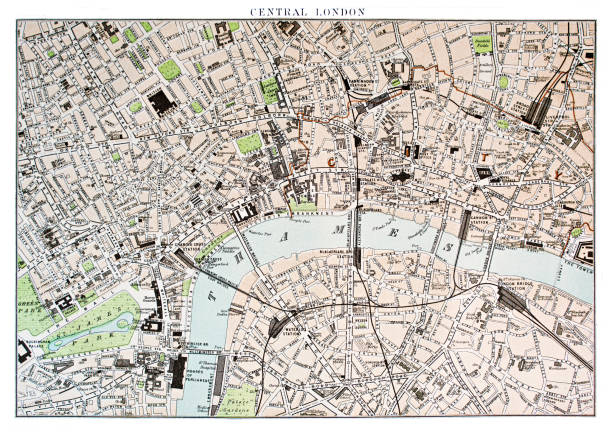
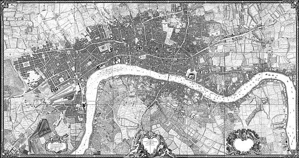
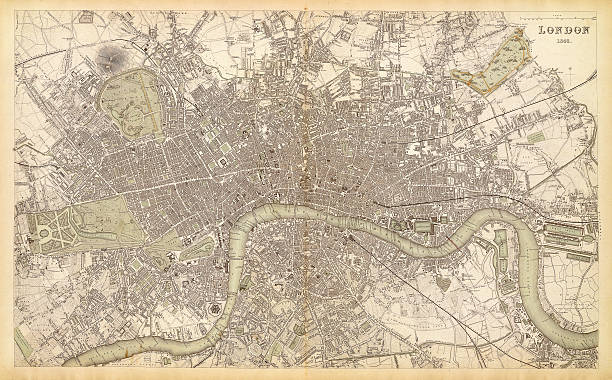
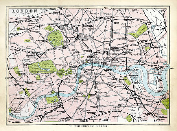
City map of London, United Kingdom. Lithograph, published in 1877.

DLR and crossrail map design template

Scan of 1746 London map by John Rocque.More maps:
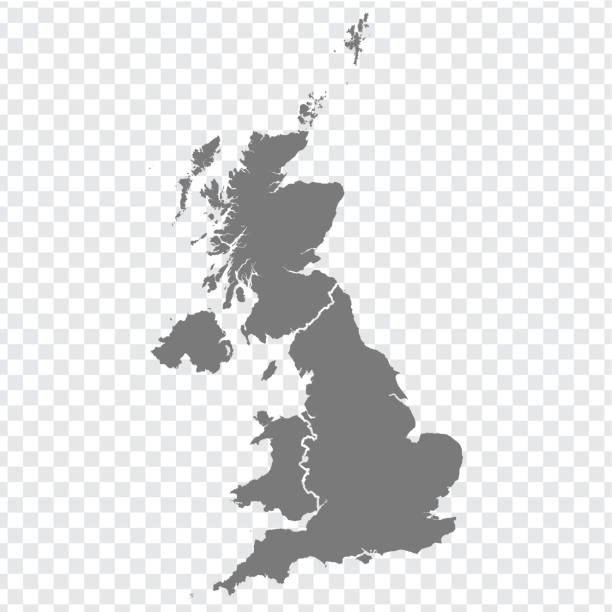

Very detailed United Kingdom map - easy to edit.

City map of London with suburbs, capital of England and the United Kingdom. Lithograph, published in 1897.
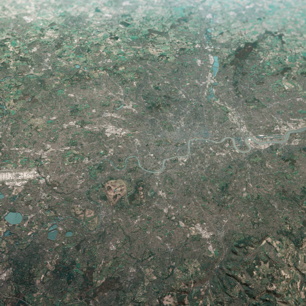
3D Render of a Topographic Map of the Greater London area, England, UK. All source data is in the public domain. Contains modified Copernicus Sentinel data (Feb 2019) courtesy of ESA. URL of source image: https://scihub.copernicus.eu/dhus/#/home. Relief texture SRTM data courtesy of NASA. URL of source image: https://search.earthdata.nasa.gov/search/granules/collection-details?p=C1000000240-LPDAAC_ECS&q=srtm%201%20arc&ok=srtm%201%20arc
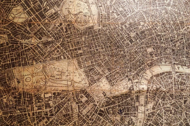
map/plan of the city of london 1843

Vector illustration
Topographic / Road map of London, England. Original map data is open data via © OpenStreetMap contributors
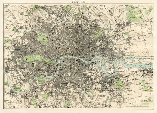
Antique map of London, England, 1891


Topographic / Road map of London, England. Original map data is open data via © OpenStreetMap contributors


Vector map of London in black and white, city map simple style


map/plan of the inner city of London from 1899
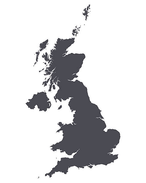

illustration of Antquie Map of London, 1895

Top view of central London, plexus effect, hologram and map of the city, streets and buildings. Blue background
Next