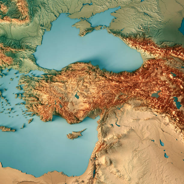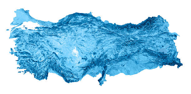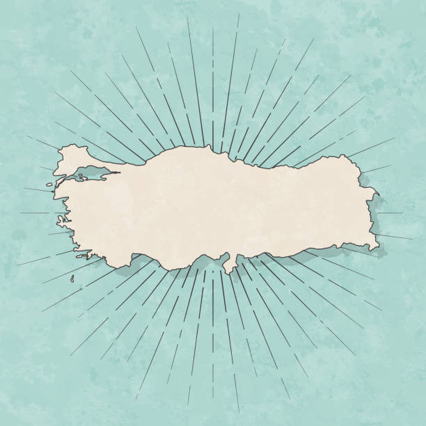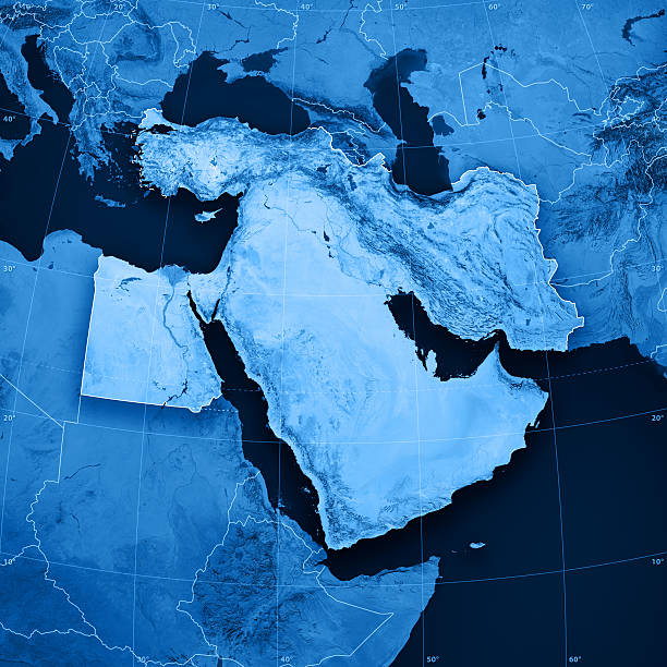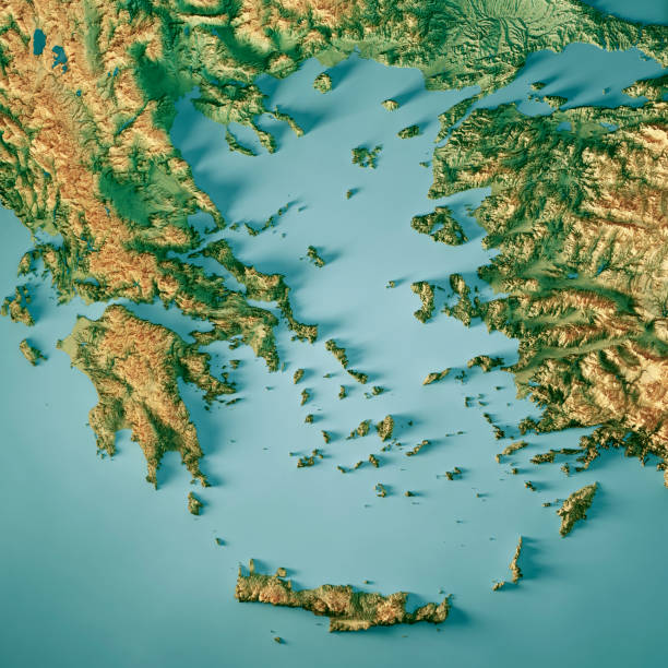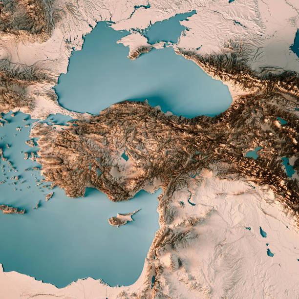
3D Render of a Topographic Map of Turkey. All source data is in the public domain. Relief texture and Rivers: SRTM data courtesy of USGS. URL of source image: https://e4ftl01.cr.usgs.gov//MODV6_Dal_D/SRTM/SRTMGL1.003/2000.02.11/ Water texture: SRTM Water Body SWDB: https://dds.cr.usgs.gov/srtm/version2_1/SWBD/