Northeast Pictures, Images and Stock Photos
Browse 54,700+ northeast stock photos and images available, or search for northeast map or northeast usa to find more great stock photos and pictures.
northeast map
northeast usa
northeast ohio
northeast home
northeast pennsylvania
northeast india
northeast landscape
northeast house
northeast beach
northeast us
northeast coast
northeast lighthouse
northeast states
northeast winter
northeast arkansas
northeast corridor
northeast thailand
compass northeast
northeast pa
northeast america
northeast wisconsin
northeast brazil
northeast minnesota
northeast greenland
northeast coastline
northeast asia
northeast town
northeast region
northeast icon
northeast georgia
Most popular
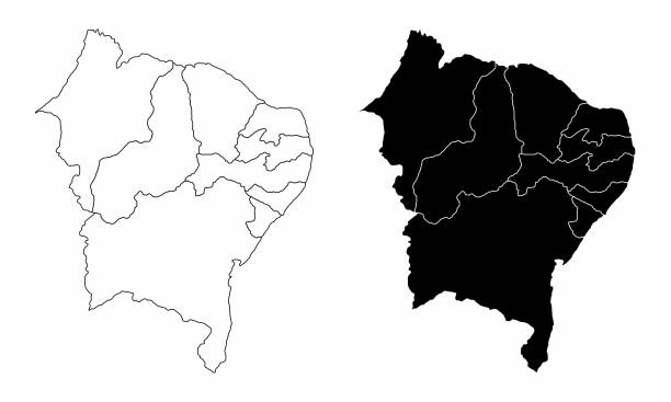
The black and white maps of the Brazil northeast region
Twine literature icon set. Illustration in woodcut style, brazilian northeast elements
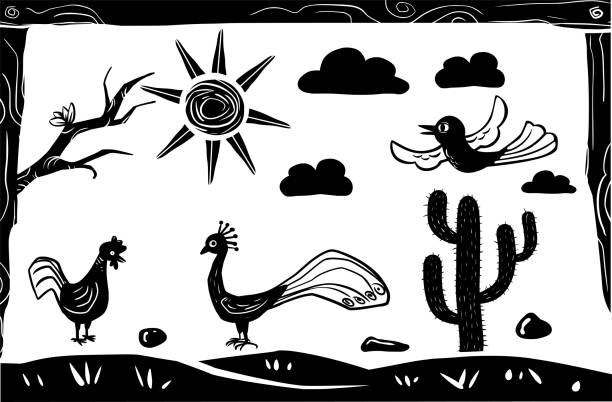
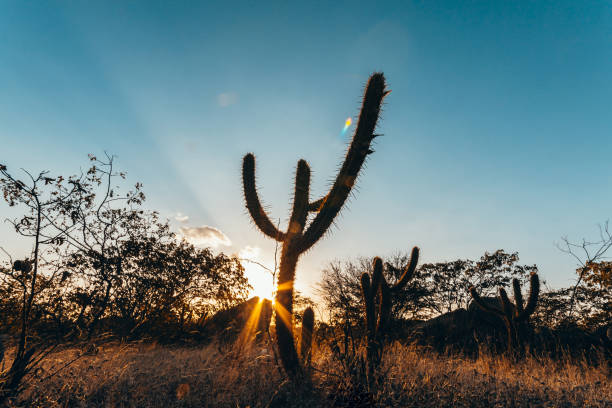
Birds flying over cacti. woodcut-style illustration

Leather hat, symbol of cowboys and country man.
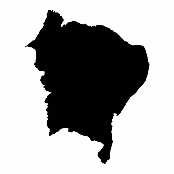
Brazil Northeast dark silhouette map isolated on white background

Set of phrases from northeastern Brazil, Oxente (oh shit), Vixe (virgin) and danô-se (damned). Cordel vector illustration in woodcut and literature style.
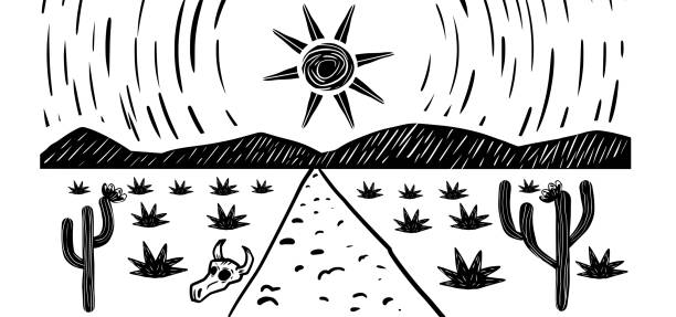
Scorching sun in the northeastern hinterland. Cordel woodcut and literature style illustration.

Northeastern woman wearing cangaceiro hat in Olinda, Pernambuco, Brazil.


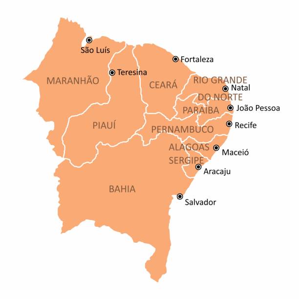
The Northeast Region map and its location in Brazil
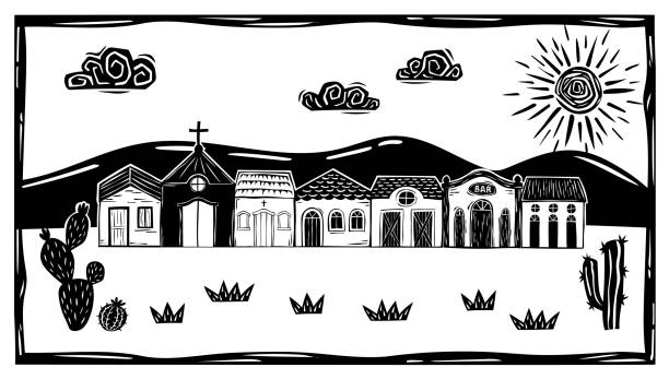
simple houses in the interior of brazil, mountain and sunny sky with clouds. Desert vegetation with cacti

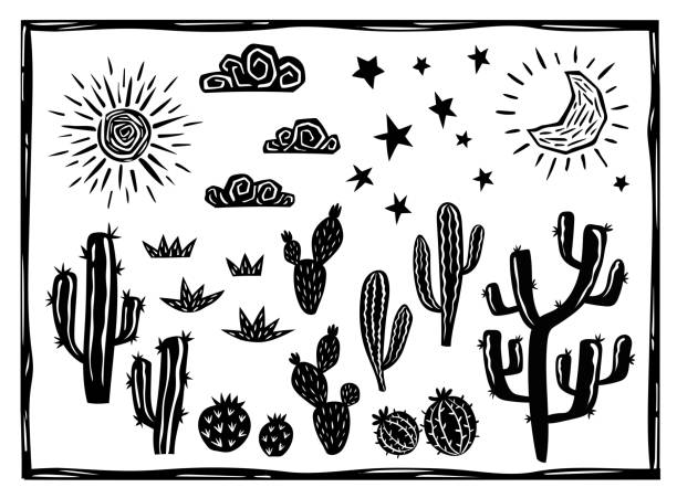
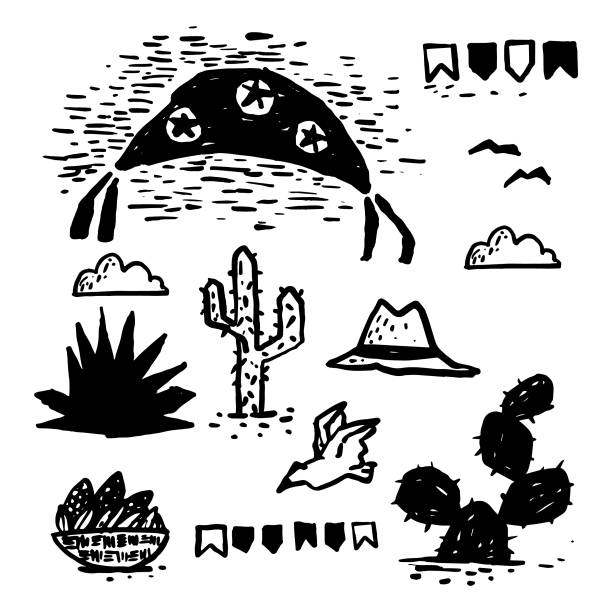
Desert landscape elements. Cacti, succulents, sun, moon and stars. Woodcut vector in Brazilian cordel

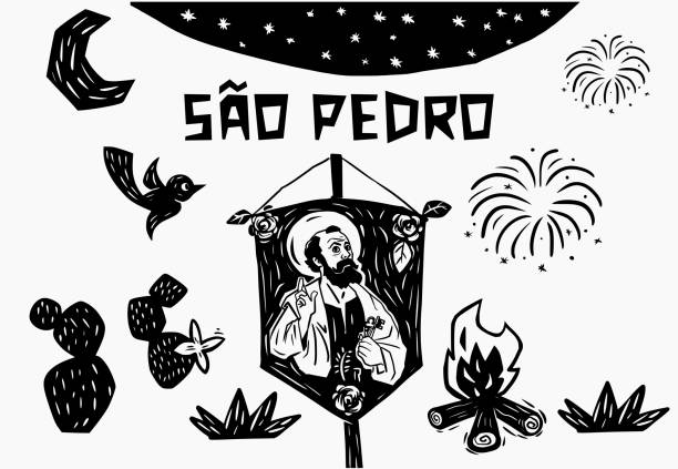
Standard of Saint Peter in woodcut and Cordel style. For June and July parties. Bonfire and fireworks.


Woodcut-style illustration of guitar players from São João festivals. Brazilian singers with northeastern scenery. Cactus and Cordel literature.
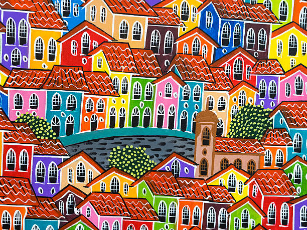
Painting of colorful Pelourinho Historic Centre in Salvador, Bahia, Brazil.


United States, geographic regions, colored political map. Five regions, according to their geographic position on the continent. Common but unofficial way of referring to regions of the United States.
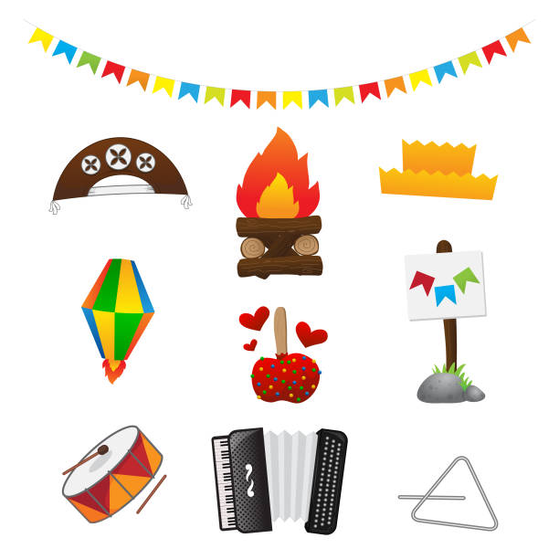
Complete package of icons for junina bonfire party, cangaceiro hat, matuto hat, love apple, zabumba, accordion, triangle, balloon and flags. cangaço, forró and forrzeiro
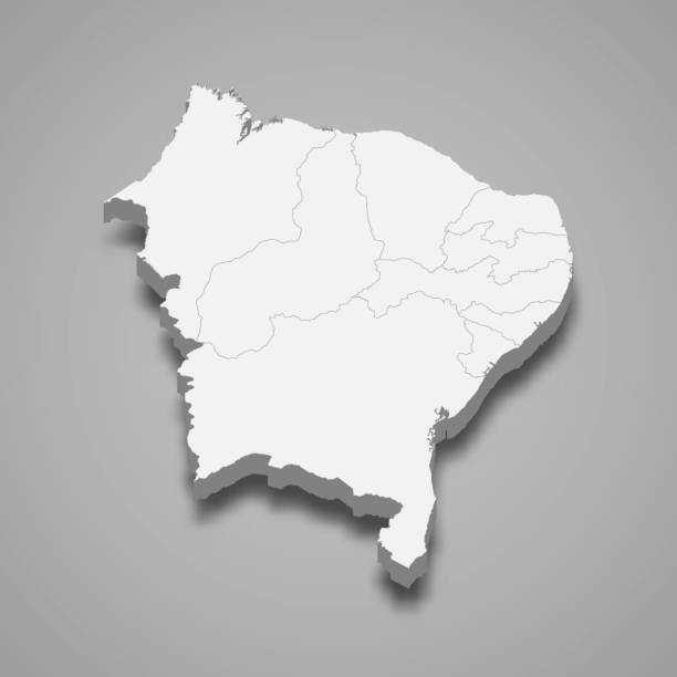
3d isometric map Northeast Region of Brazil, isolated with shadow

Pernambuco, Brazil July 5, 2016: An unidentified singer in Chicken Beach with typical sail boats behind in Ipojuca City near barrier reef, northeast Brazil

Map of United States split into Census regions and divisions. Region definition, widely used for data collection and analysis. Most commonly used classification system. English. Illustration. Vector
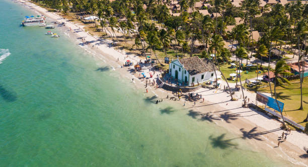
In Ipojuca - Pernambuco
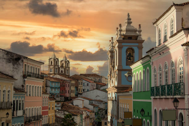
Pelourinho, Historic Center of the city of Salvador Bahia Brazil

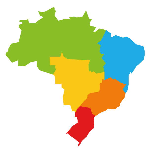
Colorful political map of Brazil divided by color into 5 regions. Simple flat blank vector map


Afro man at Marco Zero in Recife city in Pernambuco state, Brazil
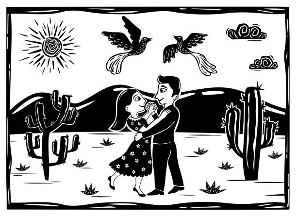
Loving couple dancing in a desert scene, birds flying, sun and clouds, cacti. Line drawing, monochrome of arid climate

Festa Junina background vector. Cute couple dancing.Traditional Brazilian woodcut style illustration.

Traditional dish of Brazilian cuisine and consumed throughout the Brazilian coast.
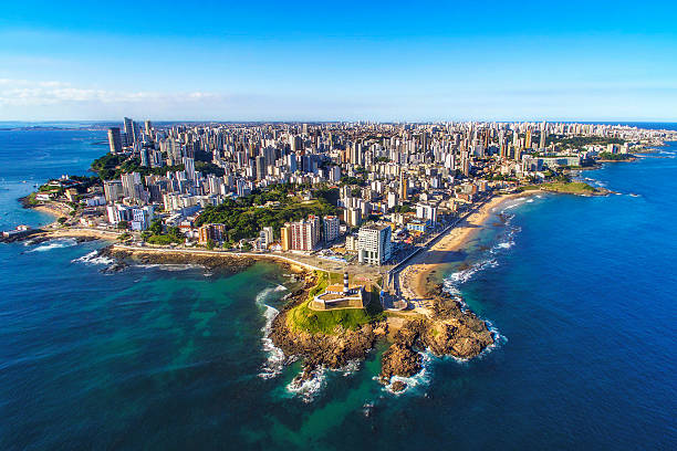
Aerial view of Salvador da Bahia cityscape, Bahia, Brazil.
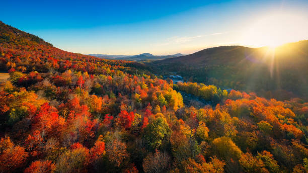
Aerial view of Mountain Forests with Brilliant Fall Colors in Autumn at Sunrise, Adirondacks, New York, New England

Brazilian collection

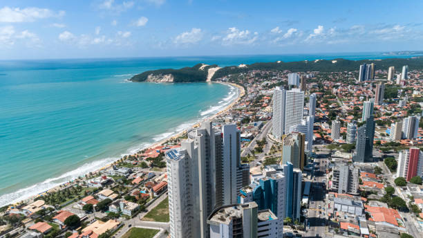
Beautiful aerial image of the city of Natal, Rio Grande do Norte, Brazil.

Historic guerrilla couple from northeastern Brazil
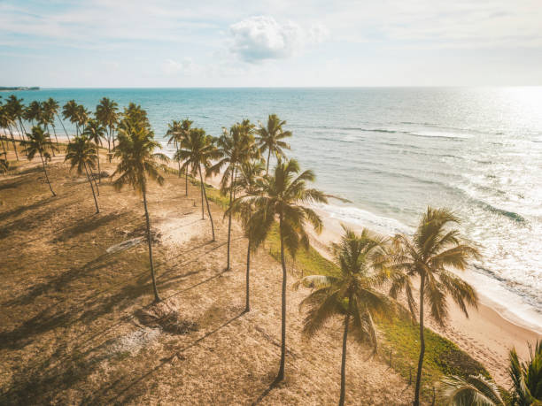
aerial view on idyllic beach in the morning light in Bahia, Brazil
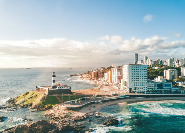
drone view from bay on coastline and skyline of Salvador da Bahia


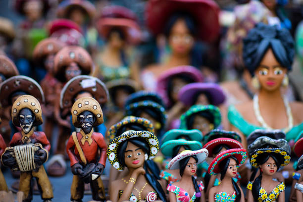
Clay dolls. Clay dolls from the north of Brazil. Clay dolls from Brazil. Concept of musicians and women.


Sunrise view of Arunachal Pradesh
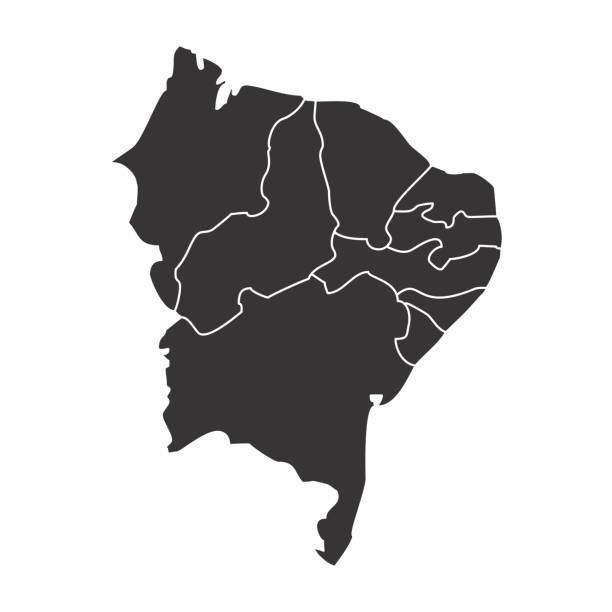
Map of the Brazil northeast region isolated on white background

Geographic regions of the United States, political map. Five regions, according to their geographic position on the continent. Common but unofficial way of referring to regions of the United States.
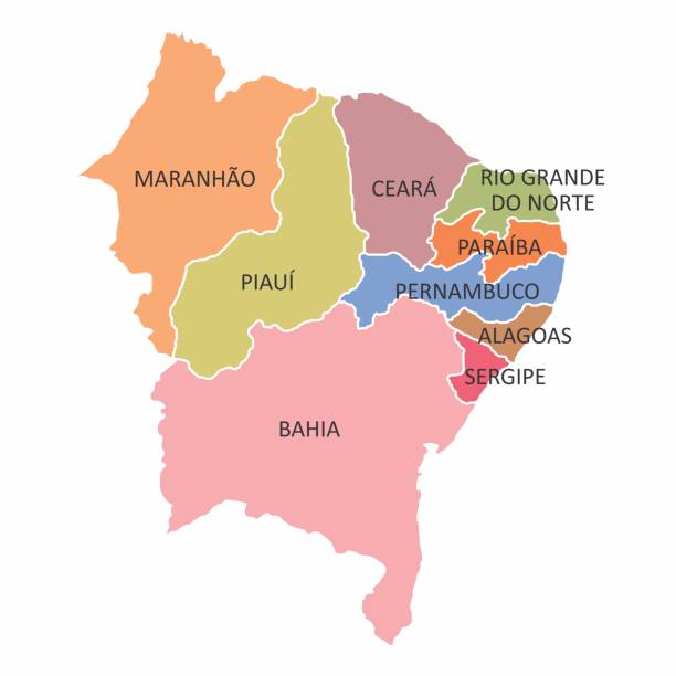
Brazil northeast region map isolated on white background

Gray map of the Brazil northeast region isolated on white background

Beach, Sea, Summer, Tropical Climate, Brazil
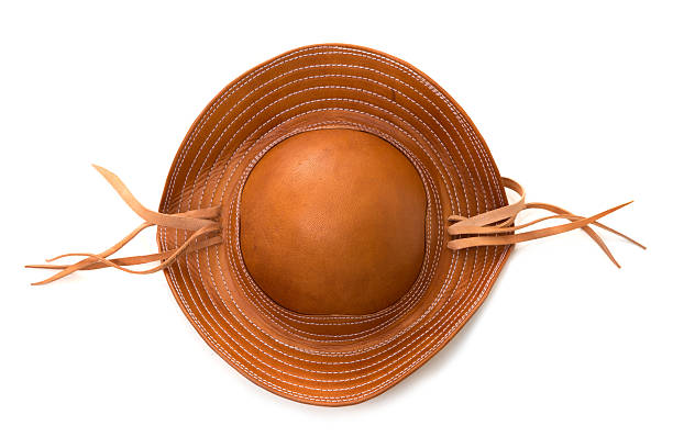
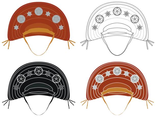
Brazilian leather hat, typical of the northeast Brazilian people, on a white background

View of the Lacerda Elevator in Salvador Bahia Brazil.

clay figure from the "Bumba meu boi"- Brazilian folk theatrical tradition
Brazil northeast region map isolated on white background

2010, Ceara, Brazil
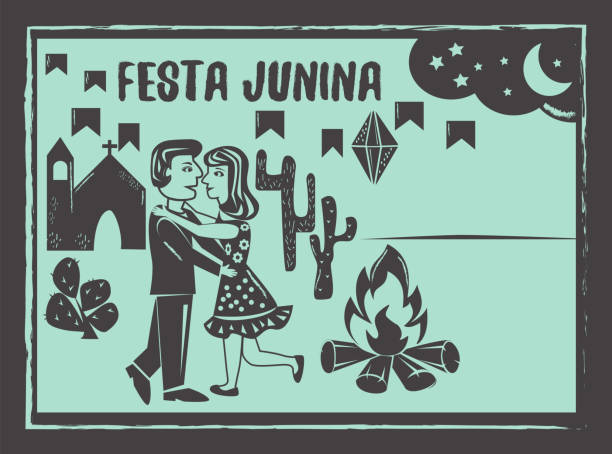
Festa Junina background vector. Cute couple dancing.Traditional Brazilian woodcut style illustration with copy space.
Next