
Ottawa Skyline Aerial Pictures, Images and Stock Photos
Browse 590+ ottawa skyline aerial stock photos and images available, or start a new search to explore more stock photos and images.
Most popular
Autumn aerial photo of Ottawa and parliament buildings.
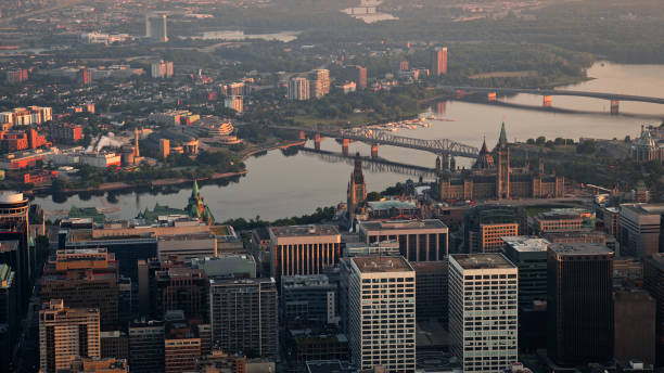
Aerial view of downtown Ottawa with Ottawa River and Alexandra Bridge during sunrise in Ontario, Canada.

Aerial view of cityscape of Ottawa during sunrise in Ontario, Canada.

An aerial view of Ottawa in Canada

Ottawa, Canada - September 19, 2021: Aerial view of cityscape of Ottawa downtown, Byward market on summer day
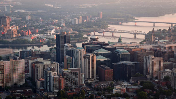
Aerial view of downtown Ottawa and its skyscrapers during sunrise in Ontario, Canada.


Aerial drone photo of Ottawa in the fall, over the Ottawa River.

Aerial view of city of Gatineau and Ottawa on the banks of Ottawa River during sunrise in Canada.

Aerial view of downtown neighbourhood with modern skylines in Ottawa, Ontario, Canada.

Aerial view of Rideau River and Porter Island in Ottawa, Ontario, Canada.

Aerial view of Parliament Hill and Ottawa city from Ottawa River, Ontario, Canada.

Aerial drone photograph of Ottawa at sunset, Lowertown, New Edinburgh, Parliament Hill, Ottawa River, Rideau River

Aerial view of Parliament Hill and Gatineau across Ottawa River in Ontario, Canada.


Aerial view of Fairmont Château Laurier with Parliament Hill behind it during sunrise in Ottawa, Ontario, Canada.

Aerial view of spring pink cherry blossoms along road, Prince of Wales Drive crossing the Experimental Farm and the Dominium Arboretum, Ottawa, Ontario, Canada. Photo taken by drone in May 2023.
Aerial view of Gatineau, Quebec and Ottawa River viewed from downtown Ottawa during sunrise in Canada.


Aerial drone photograph of Ottawa at sunset, Lowertown, New Edinburgh, Parliament Hill, Ottawa River, Rideau River

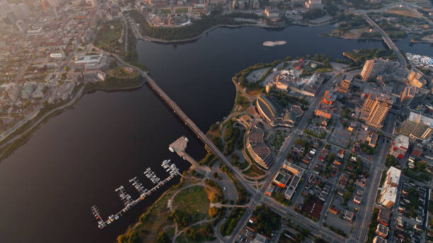
Aerial view of downtown Ottawa and Ottawa River during sunrise in Ontario, Canada.


Canada, Ottawa - May 23, 2021: Panoramic view of Ottawa River and Gatineau city of Quebec in Canada from the hill on a sunny summer day

Aerial view of Canadian Museum of History in Hull neighbourhood of Gatineau, Quebec, Ontario, Canada.


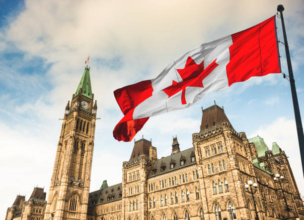
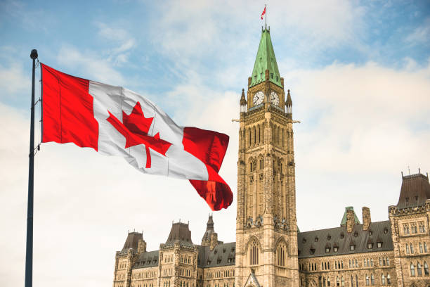
View of Parliament Buildings, Ottawa, Ontario, Canada

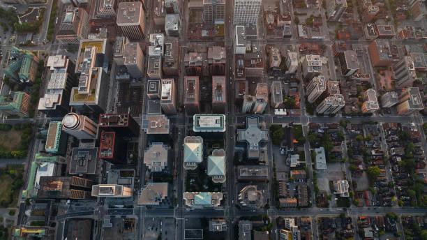
aerial view of an urban area in the Ottawa region, Summer scene; Ontario Canada

Aerial view of downtown Ottawa and Gatineau across Ottawa River during sunrise in Ontario, Canada.

Aerial view of Parliament Hill in Downtown Ottawa, Ontario, Canada.

Panoramic view of Ottawa River and Gatineau city of Quebec in Canada from the hill on a sunny summer day

Aerial view of downtown Ottawa and Ottawa River during sunrise in Ontario, Canada.


Aerial video of Ottawa University,Ontario Canada


The Ottawa River and City of Gatineau, Quebec, Canada

View of downtown Ottawa in Ontario, Canada.

Canada, Ottawa - May 23, 2021: Panoramic view of Ottawa River and Supreme Court of Canada from the hill on a sunny summer day.


Aerial view of Parliament Hill with Downtown Ottawa during sunrise in Ottawa, Ontario, Canada.

An image of Ottawa (Ontario, canada) and Gatineau (Quebec, Canada) from the Peace Tower of the Parliament building. Airview of Ottawa. Library of Parliament Dome. Ottawa River. See more in my profile.


Aerial view of Chaudière Falls and bridges with Ottawa city in background, Ontario, Canada.

Aerial view of downtown Ottawa with Ottawa River from Rideau Canal during sunrise, Canada.

Aerial view of Parliament Hill in Downtown Ottawa, Ontario, Canada.

Aerial view of Parliament Hill in Downtown Ottawa, Ontario, Canada.

View of downtown Ottawa in Ontario, Canada.

Aerial drone photograph of Ottawa at sunset, Lowertown, New Edinburgh, Parliament Hill, Ottawa River, Rideau River


Aerial view of downtown neighbourhood with modern skylines in Ottawa, Ontario, Canada.


Wide view of Ottawa River through trees looking towards Gatineau.

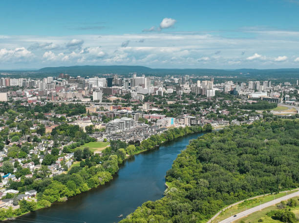
Aerial view of downtown in Ottawa City during sunrise in Ontario, Canada.
Next