Oxfordshire Pictures, Images and Stock Photos
Browse 19,300+ oxfordshire stock photos and images available, or search for oxfordshire countryside or witney oxfordshire to find more great stock photos and pictures.
oxfordshire countryside
witney oxfordshire
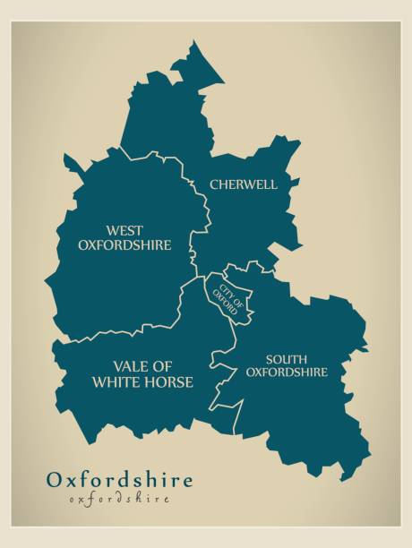
oxfordshire map
west oxfordshire
oxfordshire pub
oxfordshire winter
oxfordshire cotswolds
oxfordshire country
south oxfordshire
oxfordshire road
churchill oxfordshire
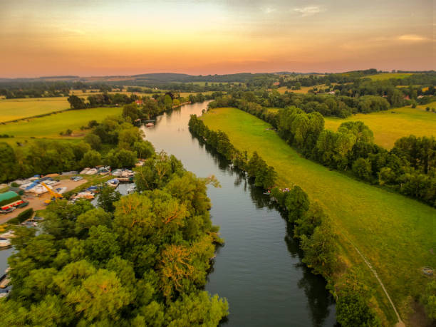
oxfordshire canal
kingham oxfordshire
christmas oxfordshire
chayford oxfordshire
woodstock oxfordshire
wallingford oxfordshire
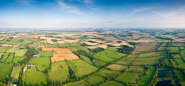
oxfordshire fields
oxfordshire spring
banbury oxfordshire
Most popular
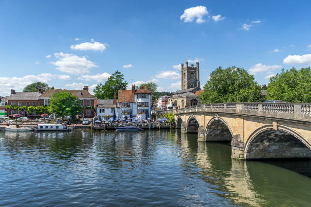
The town of Heley on Thames in the English county of Oxfordshire
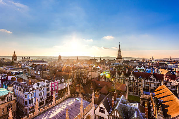
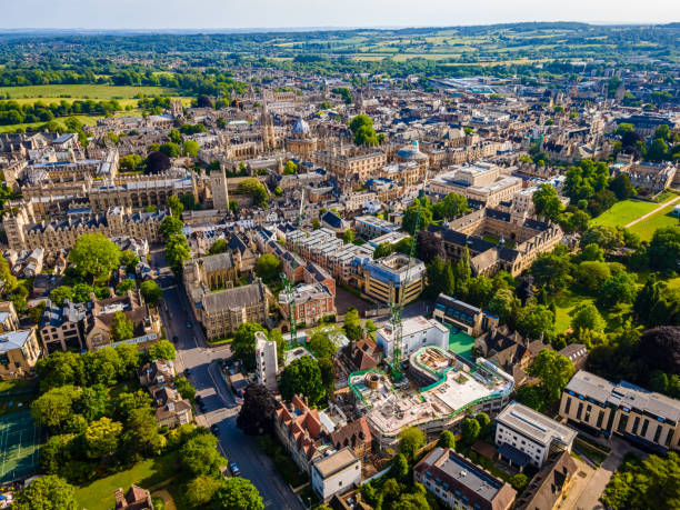
Oxford from above
Cityscape of Oxford. England, Europe
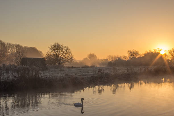
A winter cold frosty Sunrise Over the River Thames at Cheese Wharf, Oxfordshire
Temple Island Henley looking towards Henley in oxfordshire
Row houses along a road in he Cotswold village of Burford
Oxford, UK- August 23, 2014: The Gorgeous Birdview of the Bodleian Library, University of Oxford.

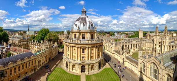
"The Radcliffe Camera and All Souls College in Oxford, UK"

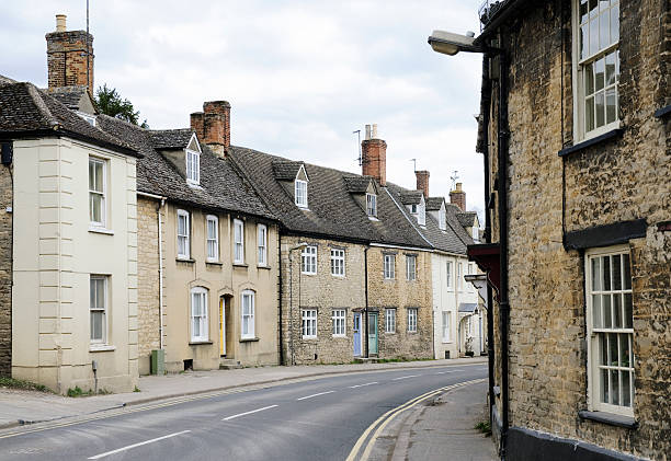
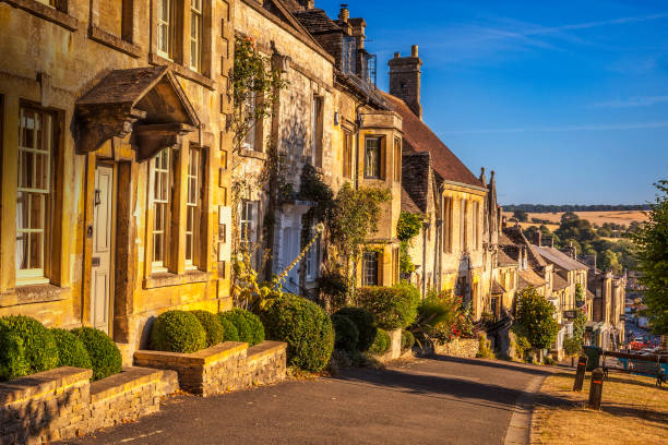
Several traditional Cotswold houses in the Oxfordshire town of Witney, England.
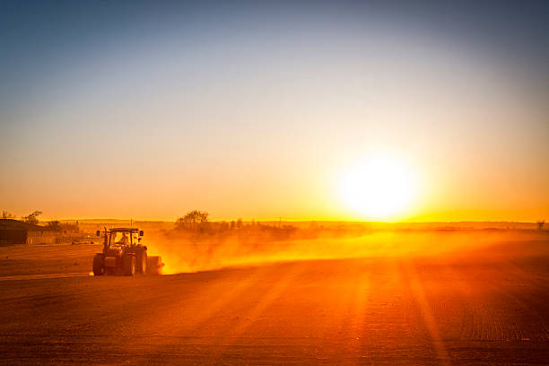
A farmer in a tractor prepares his field as the sun begins to set. The tractor is backlit by the setting sun. The sun is in the upper right corner of the frame, and it is setting behind a low row of hills in the far distance, creating a lens flare
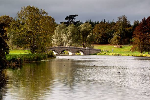
Bridge over water in Blenheim Palace garden
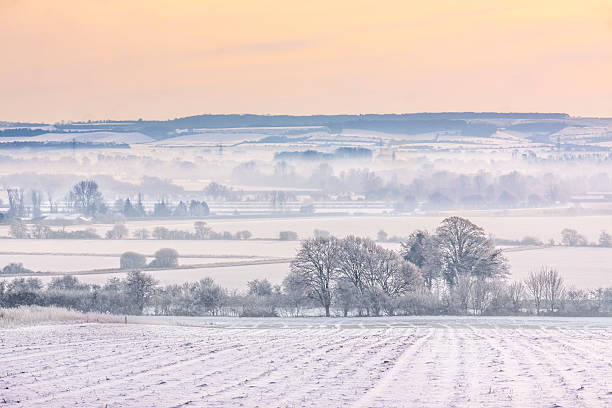
As sunset approaches the mist hangs in valleys over snowy, Oxfordshire fields near Wittenham Clumps
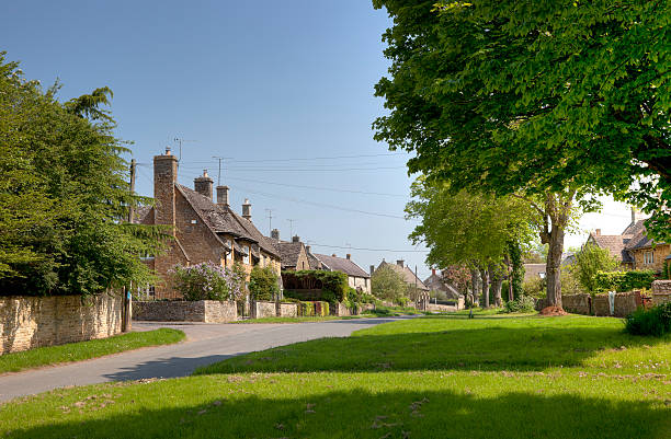
The Cotswold village of Kingham, Oxfordshire, England.
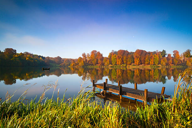
Fishermen doze in a boat on an English lake under autumn sunshine
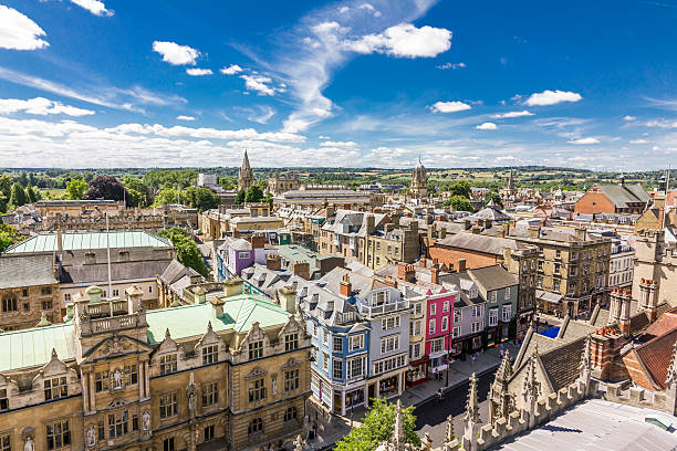
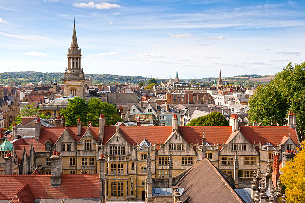
Aerial view of roofs and spires of Oxford, England with blue sky in background
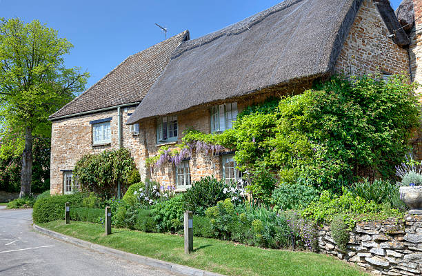
Thatched cottage with pretty garden, Kingham, Oxfordshire, England.

Temple Island near Henley-on-Thames, early summer morning

Countryside road in the town of Bibury
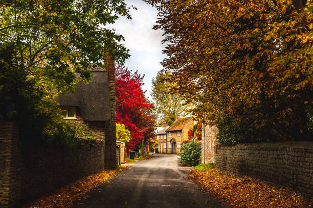
Empty roadway among stone fences of rural stone houses among lush colorful trees in autumn, Oxford, United Kingdom

village with houses in countryside - adlestrop, oxfordshire, cotswolds,

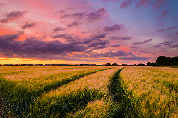
The sun sets over a green and gold, flowing crop of wheat or barley on a farm on a hill in England. The thin clouds are illuminated by the sun in red, orange, gold
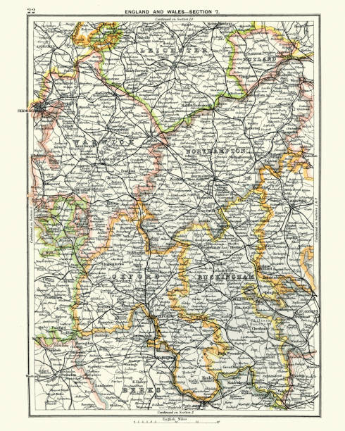
Vintage engraving of a Antique map, Leicester, Warwick, Northampton, Oxford, Buckingham. England 19th Century
Beautiful countryside landscape in Oxfordshire with the Great Coxwell Barn and cottages in the background
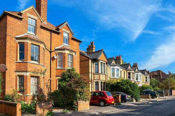
Typical brick town houses in Oxford. England, UK
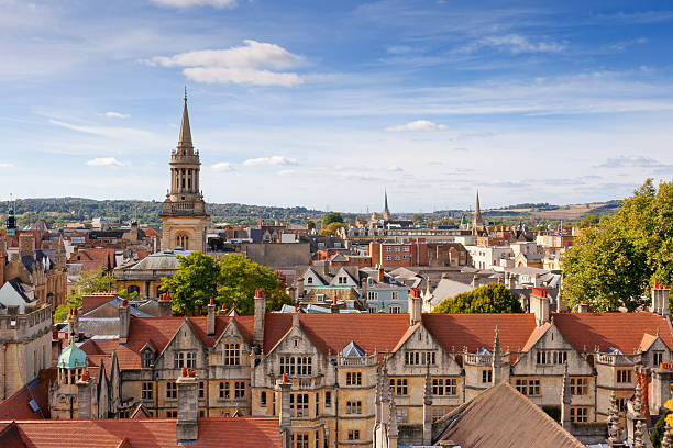
Oxford viewed from St Mary the Virgin Church. England
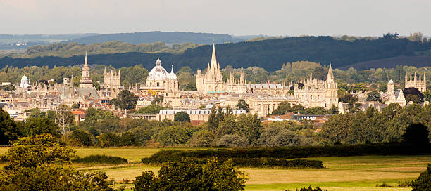
The city of Oxford viewed from across the countryside, England

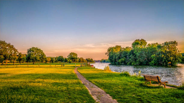
River Thames near Iffley Lock. Oxford, Oxfordshire, England, UK
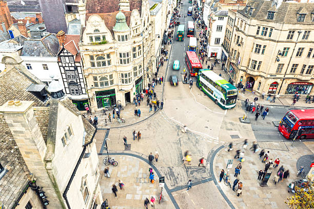
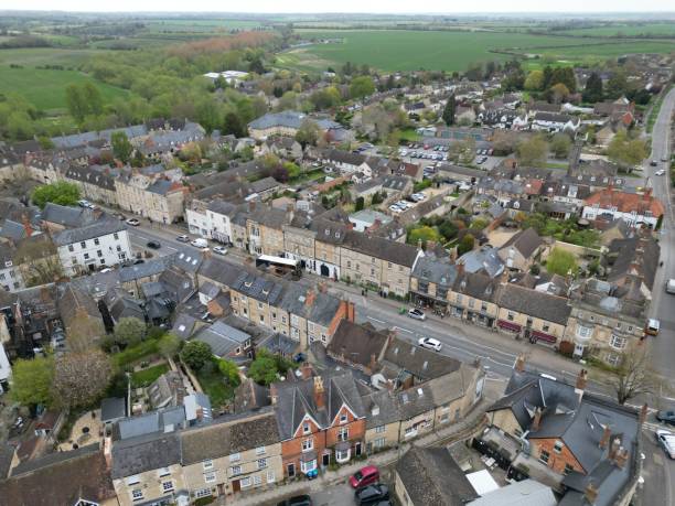
Oxford City, one of the most popular cities with universities in UK. Aerial view on the city crossroad - houses, people and busses.

The Ridgeway National Trail is Britain's Oldest Road, about 87 miles (139km) long.
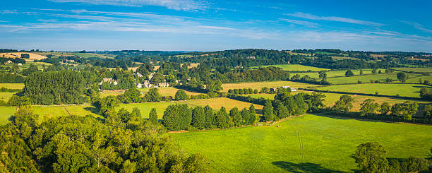
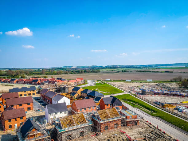
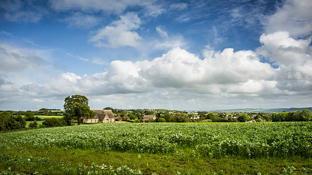
Aerial view across the vibrant green pasture and rural patchwork quilt landscape surrounding a picturesque village of family homes in an idyllic rural setting. ProPhoto RGB profile for maximum color fidelity and gamut.
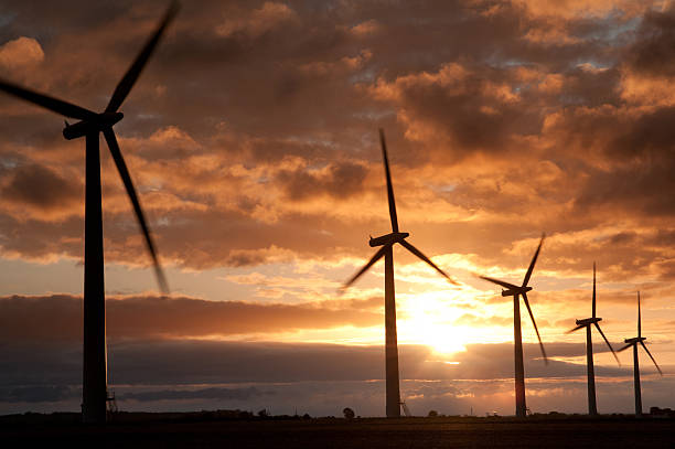
Westmill wind farm in Oxfordshire , England
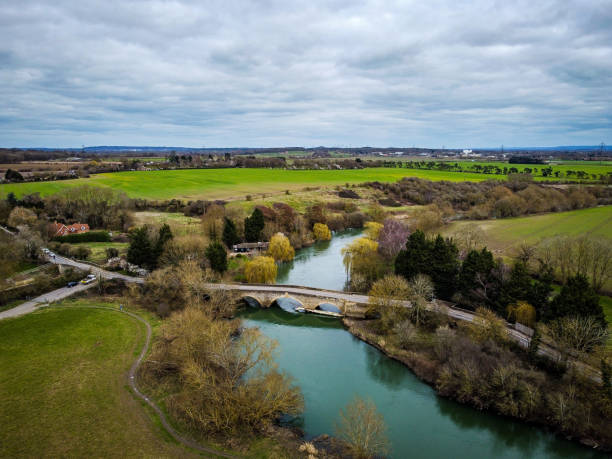
Culham Bridge, Abingdon, Oxfordshire. March 2021
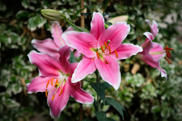
Flowering pink Stargazer lily plant growing from bulb
South Oxofrdshire from the ridgeway
![Aerial vista over farm and village Open air view from hot air balloon over a rural quilt of green fields, crops, country roads and residential housing. Adobe RGB 1998 color profile.
[b]See more great images in and from balloons in this lightbox:[/b]
[url=http://www.istockphoto.com/file_search.php?action=file&lightboxID=2691105/?refnum=fotoVoyager][img]http://www.fotovoyager.com/istock/lightbox_balloons.jpg[/img][/url]
[b]See more great agricultural images in this lightbox:[/b]
[url=http://www.istockphoto.com/file_search.php?action=file&lightboxID=1143616/?refnum=fotoVoyager][img]http://www.fotovoyager.com/istock/lightbox_farm.jpg[/img][/url]
[b]See more great urban, rural and wilderness panoramic images in this lightbox:[/b]
[url=http://www.istockphoto.com/file_search.php?action=file&lightboxID=384048/?refnum=fotoVoyager][img]http://www.fotovoyager.com/istock/lightbox_panoramas.jpg[/img][/url] oxfordshire stock pictures, royalty-free photos & images](https://media.istockphoto.com/id/109725150/photo/aerial-vista-over-farm-and-village.jpg?s=612x612&w=0&k=20&c=cd4XUjPn7PzDtPYtOm6xgx9BPdBpUG8UGw5iaKykUKw=)
Open air view from hot air balloon over a rural quilt of green fields, crops, country roads and residential housing. Adobe RGB 1998 color profile. [b]See more great images in and from balloons in this lightbox:[/b] [url=http://www.istockphoto.com/file_search.php?action=file&lightboxID=2691105/?refnum=fotoVoyager][img]http://www.fotovoyager.com/istock/lightbox_balloons.jpg[/img][/url] [b]See more great agricultural images in this lightbox:[/b] [url=http://www.istockphoto.com/file_search.php?action=file&lightboxID=1143616/?refnum=fotoVoyager][img]http://www.fotovoyager.com/istock/lightbox_farm.jpg[/img][/url] [b]See more great urban, rural and wilderness panoramic images in this lightbox:[/b] [url=http://www.istockphoto.com/file_search.php?action=file&lightboxID=384048/?refnum=fotoVoyager][img]http://www.fotovoyager.com/istock/lightbox_panoramas.jpg[/img][/url]
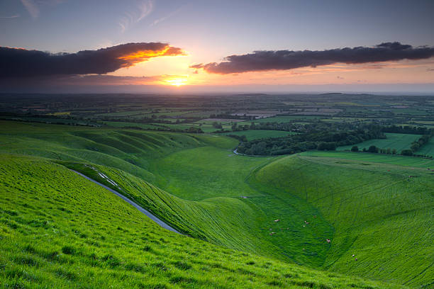
The Uffington Mangerat sunset , Vale of White Horse, Oxfordshire ,England


Boy sitting on the hill at White Horse Uffington, seeming lost in thought.
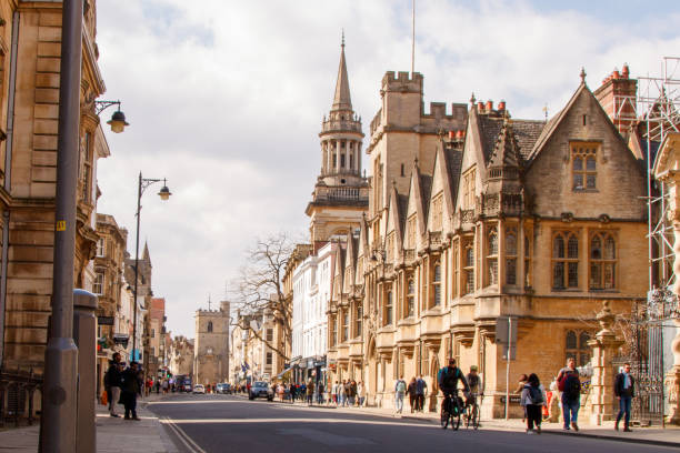
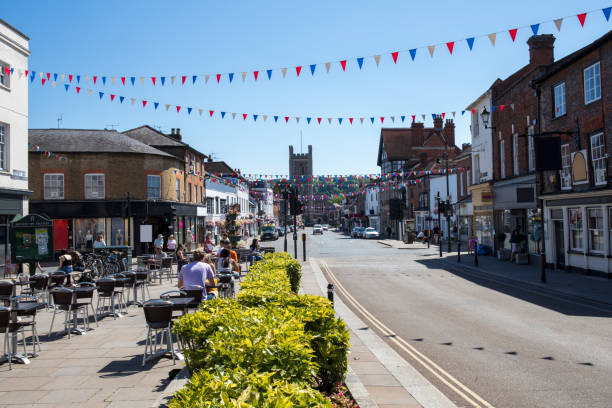
High Street, Oxford, uk
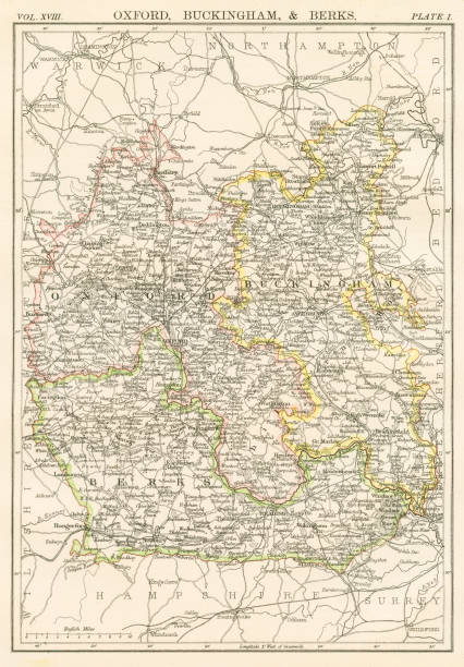
Encyclopedia Britannica 9th Edition New York Charles Scribners and Sons 1885 Vol XVIII

This photograph was taken from the top of 'South Park' in Oxford, capturing the sunset of the city's skyline. The original sky in this image has been replaced with software.
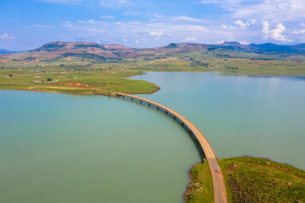
The road bridge over the Tugela River below Woodstock Dam wall near Bergville in the Kwazulu-Natal Province
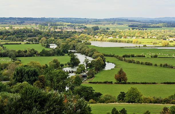
Beautiful English Countryside taken late afternoon on an autumn day. Image is taken from the top of Wittenham Clumps, looking across the fields of animals, the river with barges and locks, rooftops peeking through the tree tops all the way towards the distant hills
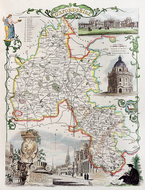
Old Oxfordshire map. Created by Thomas Moule, published in English Counties Delineated, London 1837
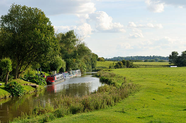
Canal Boats on the Oxford canal at the village of Somerton in Oxfordshire

Next