Political Map Usa Pictures Pictures, Images and Stock Photos
Browse 1,500+ political map usa pictures stock photos and images available, or start a new search to explore more stock photos and images.
Most popular

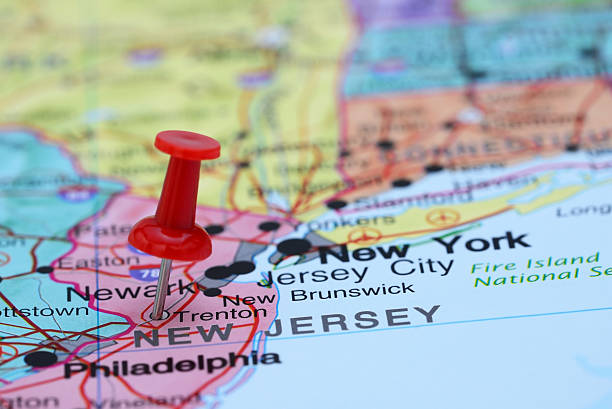
Photo of pinned Trenton on a map of USA. May be used as illustration for traveling theme.
The flag of the country in the form of borders
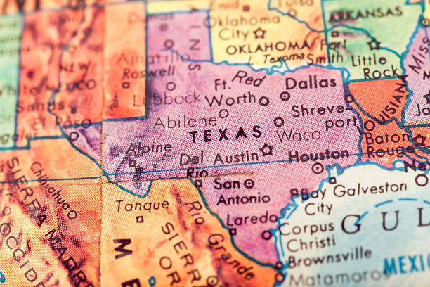
Studying Geography - Texas on retro globe.

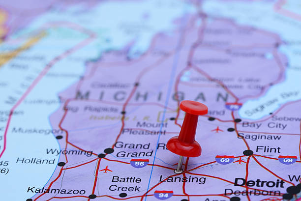
Photo of pinned Lansing on a map of USA. May be used as illustration for traveling theme.

Trade War, Business War, US China, Chess, Game, Shatter, Broken
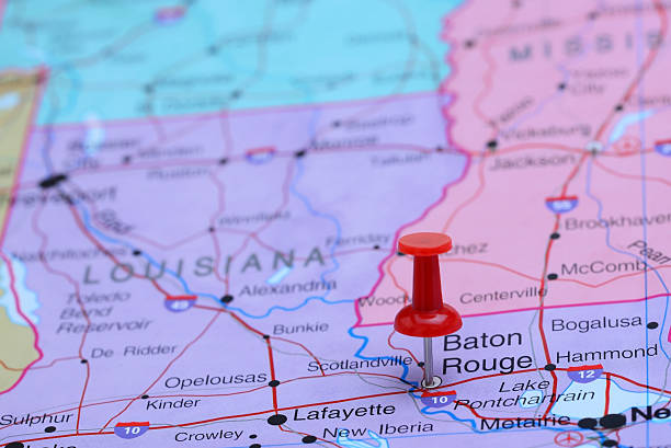
Photo of pinned Baton Rouge on a map of USA. May be used as illustration for traveling theme.

Photo of pinned Richmond on a map of USA. May be used as illustration for traveling theme.


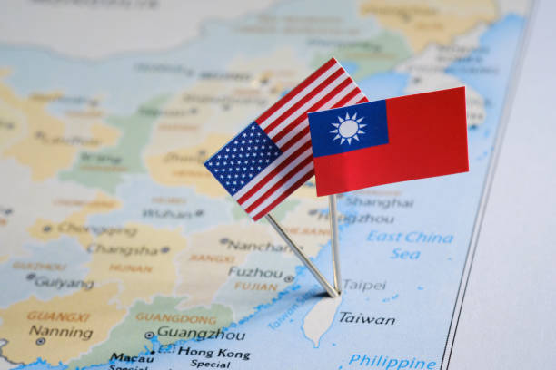
Paper boats with the colors of the USA and China surrounding the island of taiwan on a map. China and taiwan war and conflict concept.
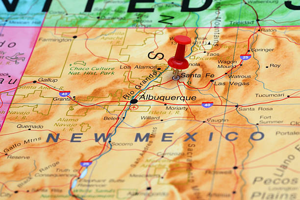
Photo of pinned Santa Fe on a map of USA. May be used as illustration for traveling theme.
Concept TAIWAN-AMERICAN RELATIONS For the Inspector. When I created this photo, I used the public domain map http://www.freemapviewer.com/en/map/Map-China_60.html
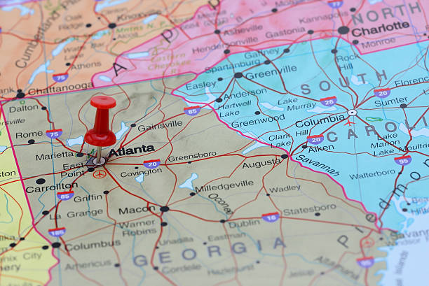
Photo of pinned Atlanta on a map of USA. May be used as illustration for traveling theme.

Photo of pinned Boise on a map of USA. May be used as illustration for traveling theme.


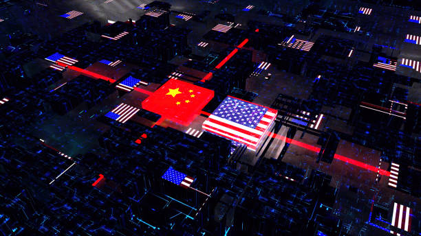
USA against China Global Financial Trade War Background Close-up on Digital Display
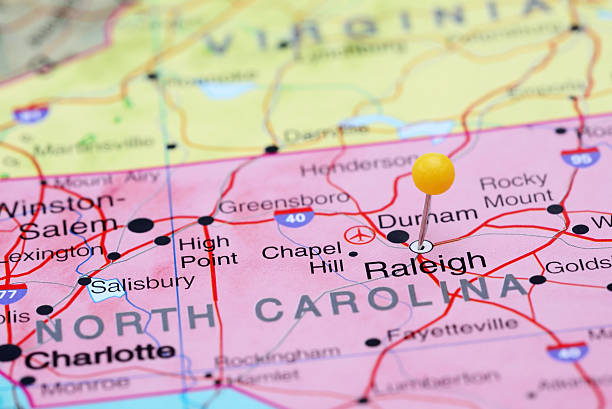
Photo of pinned Raleigh on a map of USA. May be used as illustration for travelling theme.

United States of America gray 3D minimalist map

Many voting stickers given to US voters in Presidential election formed in the shape of the USA to illustrate vote rights

Photo of pinned Des Moines on a map of USA. May be used as illustration for traveling theme.

Conflict, close up of two fists hitting each other over dramatic background with copy space
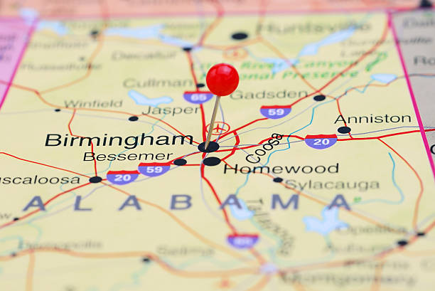
Photo of pinned Birmingham on a map of USA. May be used as illustration for travelling theme.

Photo of pinned St Paul on a map of USA. May be used as illustration for traveling theme.

Photo of pinned Little Rock on a map of USA. May be used as illustration for traveling theme.
isolated USA map photocopy texture on white

Fractured World Divided and Dissolving Map Concept
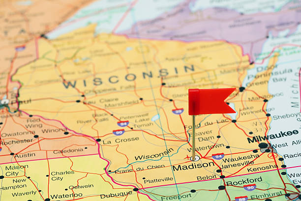
Photo of pinned Madison on a map of USA. May be used as illustration for travelling theme.

Photo of pinned Bismarck on a map of USA. May be used as illustration for traveling theme.

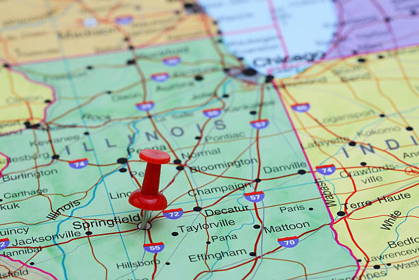
Photo of pinned Springfield on a map of USA. May be used as illustration for traveling theme.


Photo of pinned Jackson on a map of USA. May be used as illustration for traveling theme.


This is a conceptual photo of an American and Russian fist punching each other and cracking and disintegrating into bits and pieces together.

Photo of pinned Annapolis on a map of USA. May be used as illustration for traveling theme.

World Map with Standard Time Zones. Vector Illustration.
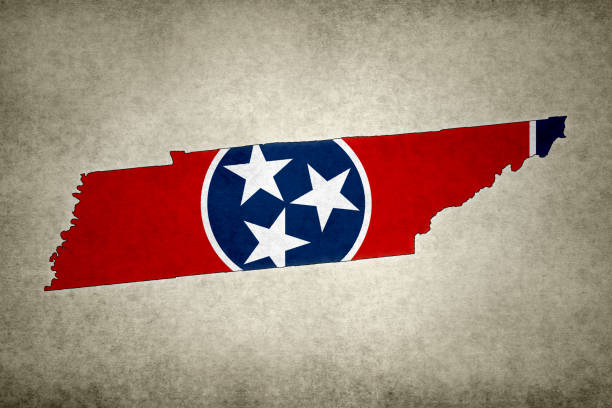
Grunge map of the state of Tennessee (USA) with its flag printed within its border on an old paper.

Photo of pinned Phoenix on a map of USA. May be used as illustration for traveling theme.

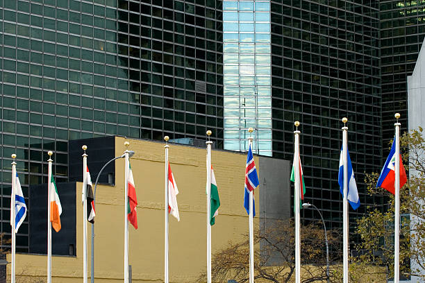
UN headquarters in Manhattan, NYC


Blue globe isolated on background

Low-angle view of signpost showing states of the world and their flags.

USA map - blue and red states

Vintage globe isolated on background

Trade Wars or Summit Concept For the Inspector. When I created this photo, I used the public domain map http://www.freemapviewer.com/en/map/Map-China_60.html
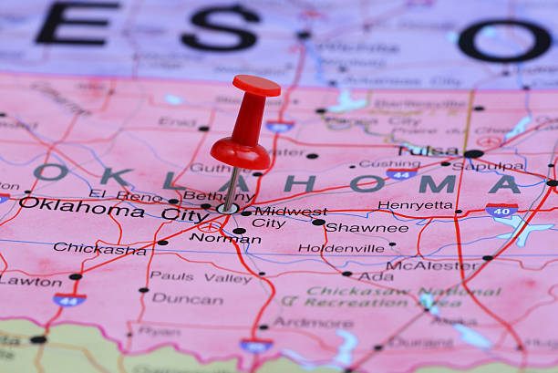
Photo of pinned Oklahoma City on a map of USA. May be used as illustration for traveling theme.

US economy agreement concept

Photo of pinned Columbia on a map of USA. May be used as illustration for travelling theme.


A rear view of a businessman as he stands and looks up at three interlocking globes on the wall in front of him as he tries to sort out the mess of geopolitical events. Map source material courtesy of https://images.nasa.gov/

Mini Globe Brazil, Chile and Argentina.


Next