Province Of Carolina Pictures, Images and Stock Photos
Browse 150+ province of carolina stock photos and images available, or start a new search to explore more stock photos and images.
Most popular
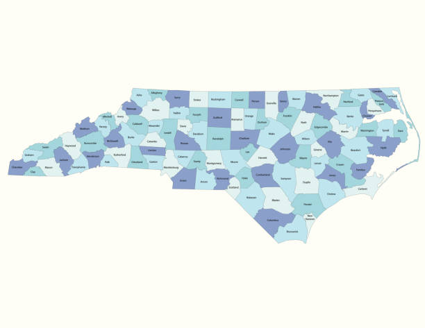
Detailed state-county map of North Carolina.
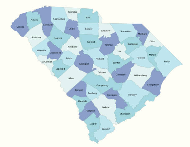
Detailed state-county map of South Carolina.
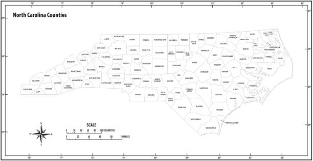

illustration of highly detailed U.S.A map with all state for your design , products and print.
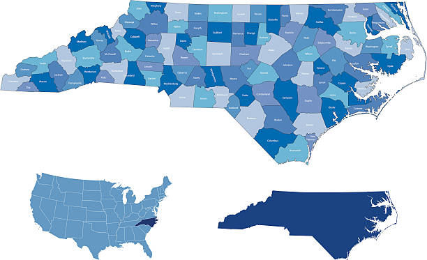
highly detailed map from North Carolina state & counties for your design and products.
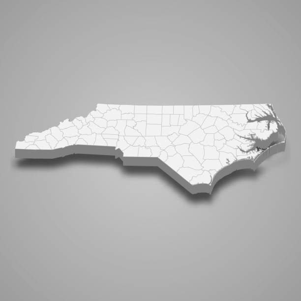
3d map of North Carolina is a state of United States

Vector of Highly Detailed Map of South Carolina State of the United States of America - The url of the reference file is : https://www.cia.gov/library/publications/the-world-factbook/graphics/ref_maps/pdf/united_states.pdf

Vector illustration of the North Carolina County Map

Road map of North Carolina, US American federal state. Editable highly detailed transportation map of North Carolina with highways and interstate roads, rivers, lakes and cities vector illustration


Map of North Carolina state designed in illustration with the counties and the county seats

illustration of North Carolina state map with road map for your design and products.

Vector illustration of the South Carolina County Map (Gray, Black, White)


United State of America flag with flag of North Carolina

black outline map of North Carolina (US state) - vector illustration

Flag of american state of South Carolina, region of the United States, waving at wind

Aerial view of classical american homes in South Carolina residential area. New family houses as example of real estate development in USA suburbs.

3d flag North Carolina, state of United States, isolated on background with copyspace

Flag of american state of South Carolina, region of the United States, waving at wind

Vector illustration of the South Carolina County Map

Florida county map outline vector in gray color

Vector illustration of the North Carolina County Map (Gray, Black, White)

West Virginia county map outline vector in gray color

Vintage map of the state of North Carolina, USA. - See lightbox for more.

Aerial view of tightly packed homes in South Carolina residential area. New family houses as example of real estate development in american suburbs.


Tryon Palace Historic Sites & Gardens

View from above of expensive residential houses high on hill top between yellow fall trees in suburban area in North Carolina. American dream homes as example of real estate development in US suburbs.


Counties of North Carolina federal state, administrative map of USA. Highly detailed color map of American region with territory borders and counties names labeled vector illustration

3D Realistic waving Flag of South Carolina is a state of United States on transparent background


Flag of american state of North Carolina, region of the United States, waving at wind


Flag of american state of North Carolina, region of the United States, waving at wind

illustration of South Carolina state map with road map for your design and products.

High Quality map state of United States. North Carolina

territory of South Carolina state isolated from other states of USA

black outline map of South Carolina (US state) - vector illustration

Aerial view of american apartment buildings in South Carolina residential area. New family condos as example of real estate development in USA suburbs.

Vintage map of the state of South Carolina, USA. - see lightbox for more

USA 3d render, State of South Carolina

Map of South Carolina state designed in illustration with the counties and the county seats

National flag with wooden texture backgroung

3d flag South Carolina, state of United States, isolated on background with copyspace

territory of North Carolina state isolated from other states of USA

Aerial view of american apartment buildings in South Carolina residential area. New family condos as example of real estate development in USA suburbs.

Vector of Highly Detailed Map of North Carolina State of the United States of America - The url of the reference file is : https://www.cia.gov/library/publications/the-world-factbook/graphics/ref_maps/pdf/united_states.pdf

West Virginia county map outline vector in gray color

3d isometric map South Atlantic Region of United States, isolated with shadow

highly detailed map from South Carolina state & counties for your design and products.

Icon for carolina, map, border, country, division, political, borough, province, region, borough


A North Carolina state coin isolated on a white background

A South Carolina state coin isolated on a white background

Waving ribbon or stripe with flag of North Carolina is a state of United States
Next