
Images
San Francisco Bay Area Pictures, Images and Stock Photos
Browse 154,000+ san francisco bay area stock photos and images available, or search for san francisco or hong kong-zhuhai-macao bridge to find more great stock photos and pictures.
Most popular
An aerial view of Sausalito on a golden morning with the Golden Gate Bridge peaking over the hillside.
Downtown San Francisco and Oakland Bay Bridge on sunny day
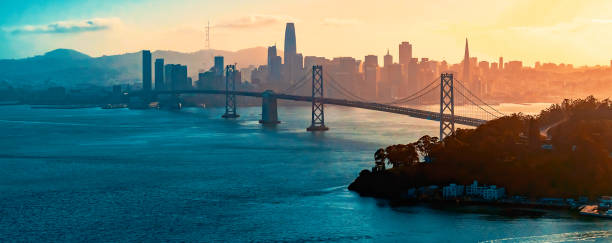
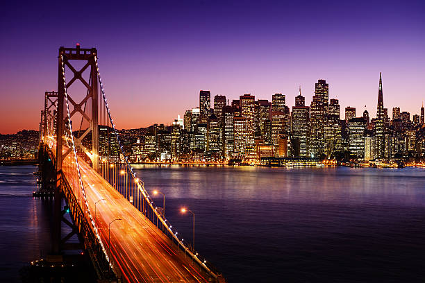
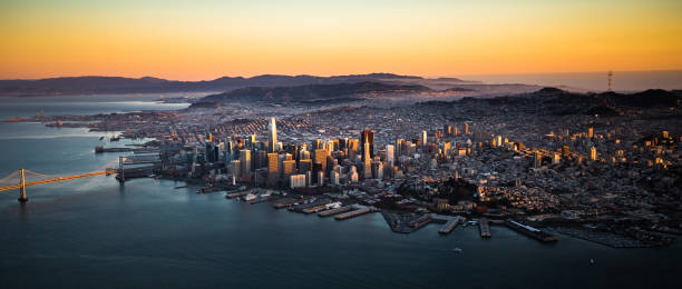
Classic panoramic view of San Francisco skyline with famous Oakland Bay Bridge illuminated in beautiful golden evening light at sunset in summer, San Francisco Bay Area, California, USA
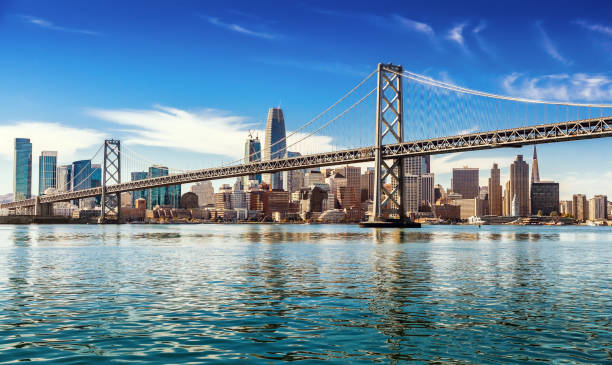
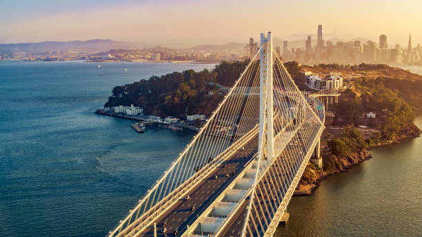
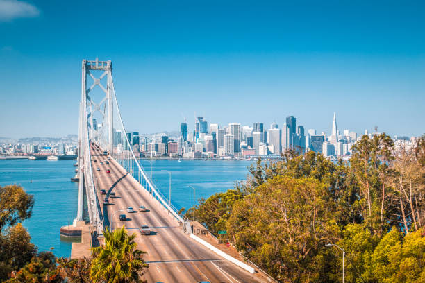
Aerial view of the Bay Bridge in San Francisco, CA
San Francisco city skyline panorama at sunset with downtown skyline and
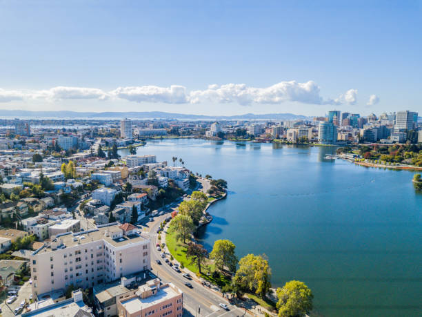
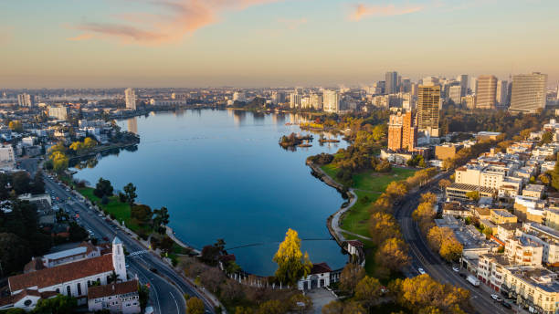
Aerial view above Lake Merritt in Oakland, California. Looking across the lake at downtown Oakland with skyscrapers in the distance.
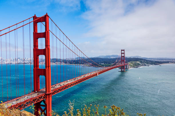
Golden Gate and the Golden Gate strait, San Francisco, California
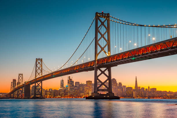
Aerial view of San Francisco-Oakland Bay Bridge during sunset, San Francisco, California, USA.
San Francisco skyline and Bay Bridge at sunset, California
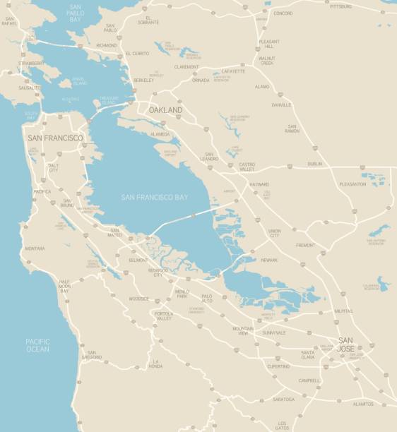
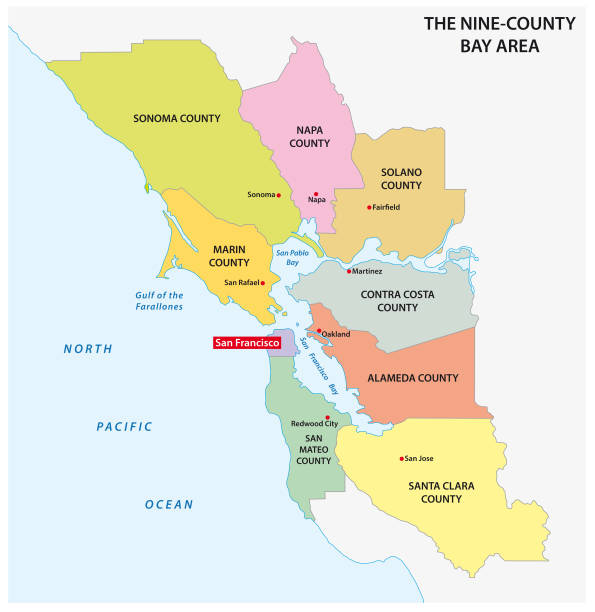
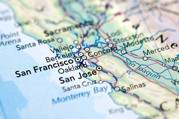
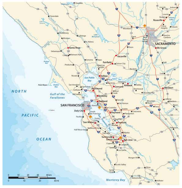
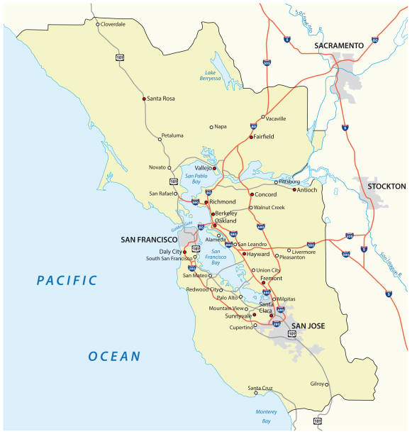
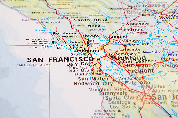
A map of the Bay Area, including San Francisco, Oakland and San Jose. Includes highways and freeways, the main cities in the region and bodies of water. Includes CS3 file and an extra-large JPG.
San Francisco Panorama with Bay bridge
Colorful San Francisco building tops with Bay on a Sunny day. Oblique view with copy space.
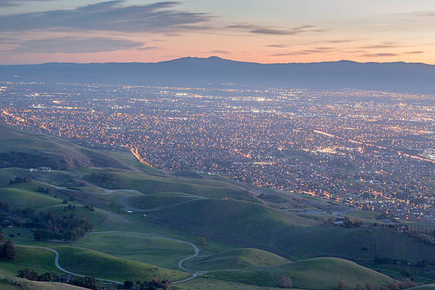
Silicon Valley and Green Hills at Dusk. Monument Peak, Ed R. Levin County Park, Milpitas, California, USA.
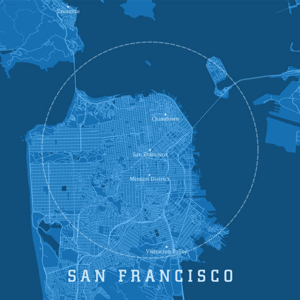
Map of San Francisco. Selective Focus.

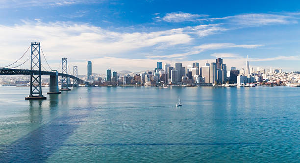
Classic panoramic view of San Francisco skyline with famous Oakland Bay Bridge illuminated on a beautiful sunny day with blue sky in summer, San Francisco Bay Area, California, USA
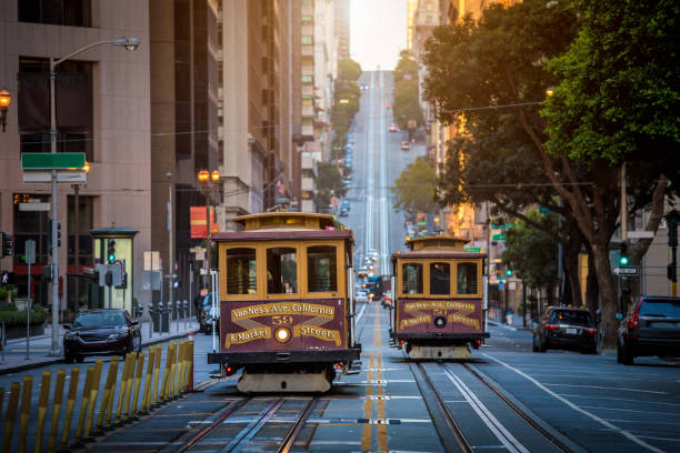
Classic view of historic traditional Cable Cars riding on famous California Street in beautiful early morning light at sunrise in summer, San Francisco, California, USA
Aerial view of San Francisco city in California, USA
Aerial stock photo of downtown Oakland California and Lake Merritt early in the morning at sunrise.
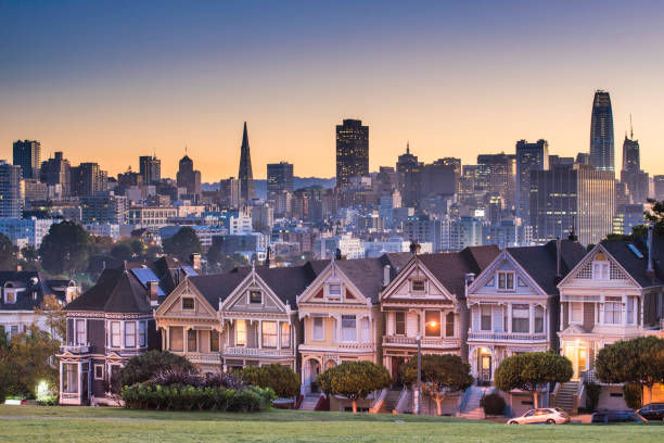
San Francisco - California, Alamo Square, Urban Skyline, City, Famous Place
Views from the trails of Tilden Park
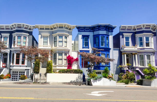
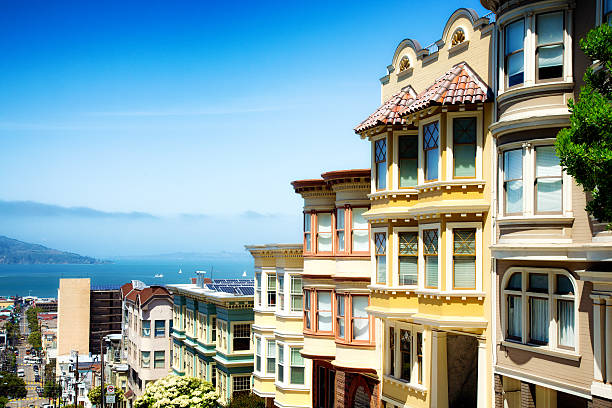
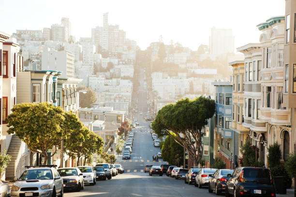
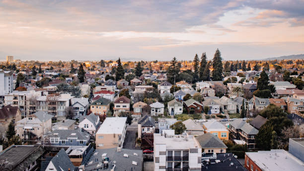
Vibrant colors of typical San Francisco houses.
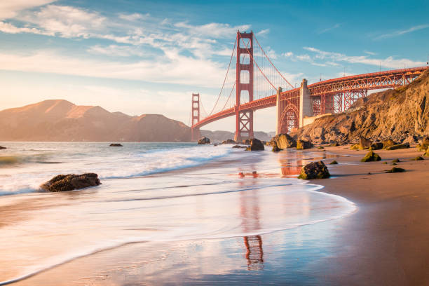
Classic panoramic view of famous Golden Gate Bridge seen from scenic Baker Beach in beautiful golden evening light on a sunny day with blue sky and clouds in summer, San Francisco, California, USA
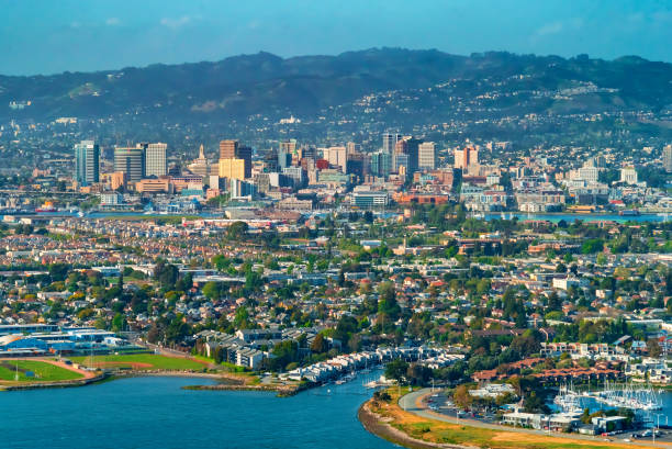
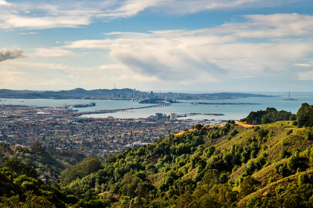
Aerial view of Oakland, CA from the bay
San Francisco Bay Area vector map
Golden Gate Bridge at Sunset Aerial View, San Francisco , California, USA
San Francisco CA City Vector Road Map Blue Text. All source data is in the public domain. U.S. Census Bureau Census Tiger. Used Layers: areawater, linearwater, roads.
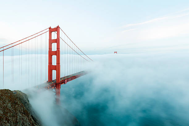
famous Golden Gate Bridge with low fog, San Francisco, USA
Silicon Valley region in California, United States with neighboring counties. Vector image
Golden Gate Bridge at Sunset Aerial View, San Francisco , California
San Francisco Skyline with Dramatic Clouds at Sunrise, California, USA
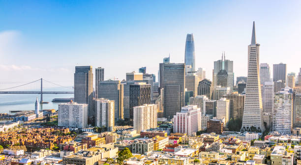
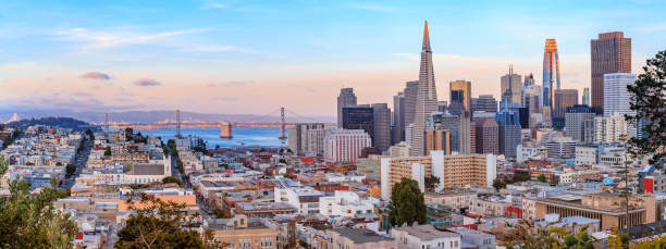
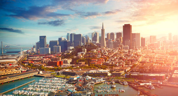
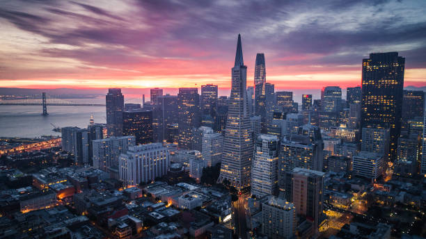
A panoramic view from above San Francisco's financial district on a bright sunny day.
San Francisco from San Francisco Headlands
San Francisco map.


Golden Gate Bridge seen from Marshall beach in San Francisco, California, USA
Oakland, CA

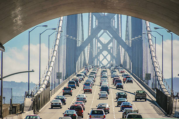
Bay bridge of San Francisco, USA
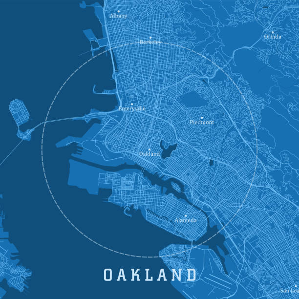
Oakland CA City Vector Road Map Blue Text. All source data is in the public domain. U.S. Census Bureau Census Tiger. Used Layers: areawater, linearwater, roads.
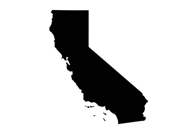
vector illustration of California map
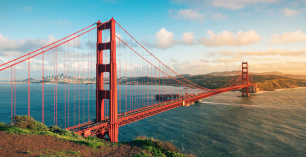
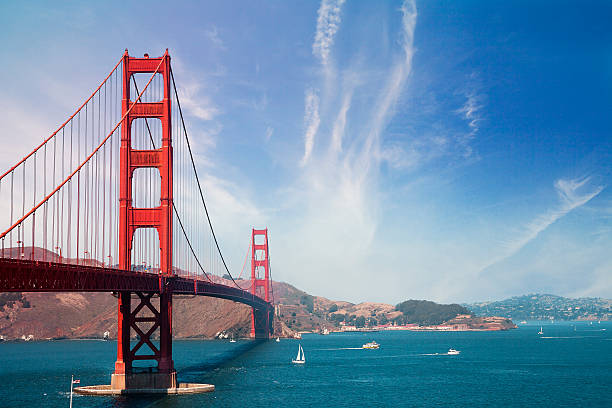
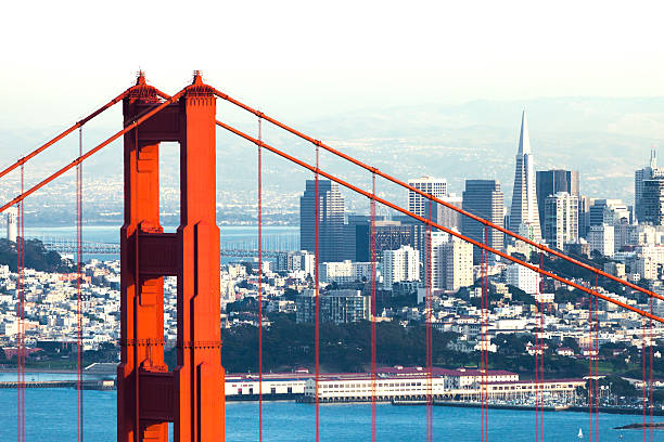
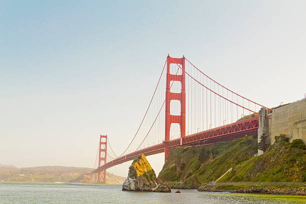
The Golden Gate Bridge, standing on the Golden Gate Strait in San Francisco, California, USA, is one of the world's famous bridges and a miracle of modern bridge engineering

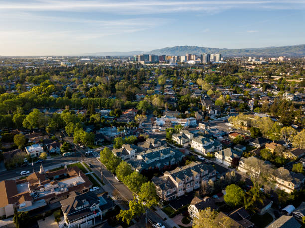
Exterior view of modern apartment building offering luxury rental units in Silicon Valley; Sunnyvale, San Francisco bay area, California

San Francisco with the downtown skyline just before sunrise
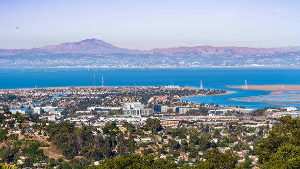
Drone point of view of Silicon Valley in California
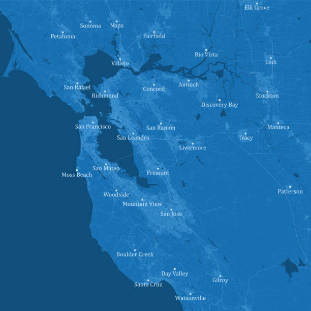
San Francisco Bay Area CA Vector Road Map Blue Text. All source data is in the public domain. U.S. Census Bureau Census Tiger. Used Layers: areawater, linearwater, roads.
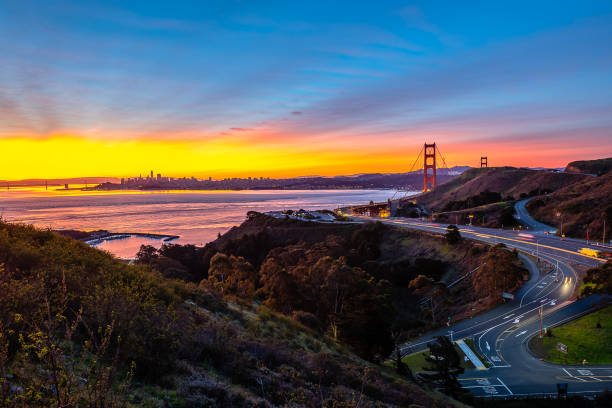
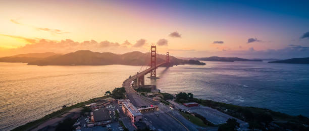
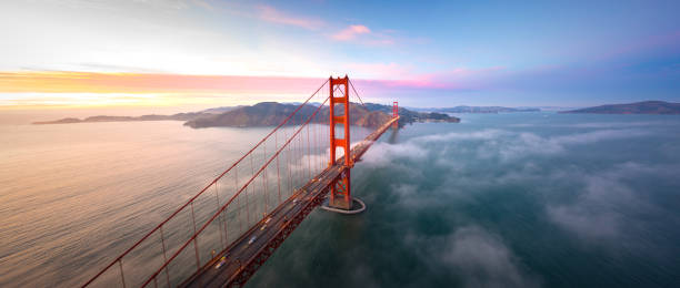
Sunrise begins over the San Francisco Bay Area and the Golden Gate Bridge from the Marin Headlands.
A look at the East Bay post-thunderstorm on a muggy, summer's day in August 2020
Spring Sunset at Coyote Hills Regional Park. Fremont, Alameda County, California, USA
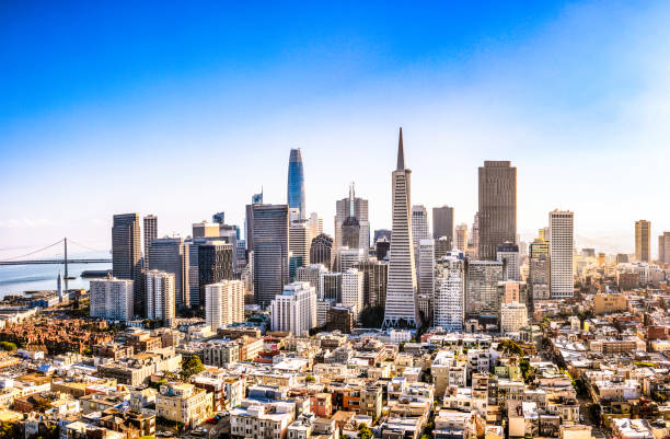
A high angle view of San Francisco's business district on a sunny day.

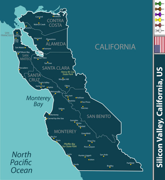
Map of the Silicon Valley section of California - San Francisco and Palo Alto
Golden Gate Bridge view in the morning


Next