Seoul South Korea Map Pictures, Images and Stock Photos
Browse 2,400+ seoul south korea map stock photos and images available, or start a new search to explore more stock photos and images.
Most popular

Korea travel map, lovely flat style korea attractions and specialties for traveler

Poster Style Topographic / Road map of Seoul, South Korea.
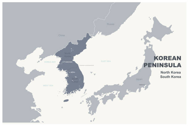
Korean Peninsula region, political map. Peninsular region Korea in East Asia, divided between the 2 countries North and South Korea, bordered by China and Russia, separated from Japan by Korea Strait.

Illustrated map of South Korea with nature and landmarks. Editable vector illustration

Korea travel map, lovely flat style korea attractions and specialties for traveler


Map link URL: https://legacy.lib.utexas.edu/maps/world_maps/united_states_foreign_service_posts-september_2011.pdf. Some urban locations were taken from: https://legacy.lib.utexas.edu/maps/world_maps/txu-oclc-264266980-world_pol_2008-2.jpg. The image was created in Adobe Illustrator in eps10 format

modern city vector map.
World landmarks related icons: thin vector icon set, black and white kit

colored korean province map.


Drawings isolated on white background. Outline stroke is not expanded, stroke weight is editable

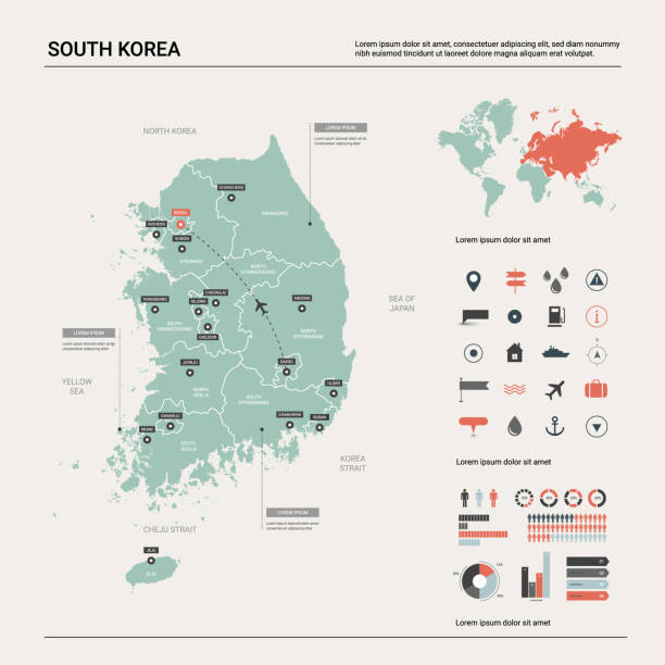
Map of South Korea - Infographic Vector illustration

Korean Peninsula region, gray political map. Peninsular region Korea in East Asia, divided between North and South Korea, bordered by China and Russia, and separated from Japan by the Korea Strait.
korean peninsula vector map

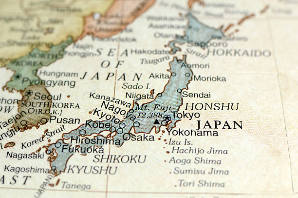
"Pyongyang and Seoul Map. Source: ""Reference Atlas of the World"""

grey vector map of South Korea

Map of Seoul.


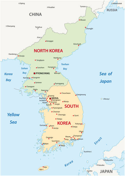
Highly detailed vector map of Korean peninsula with administrative regions,main cities and roads.

South Korea political map of administrative divisions - provinces, metropolitan cities, special city of Seolu and special self-governing cities of Sejong. 3D colorful vector map with name labels.

japan and korea vector map

South Korea Map - Detailed Info Graphic Vector Illustration

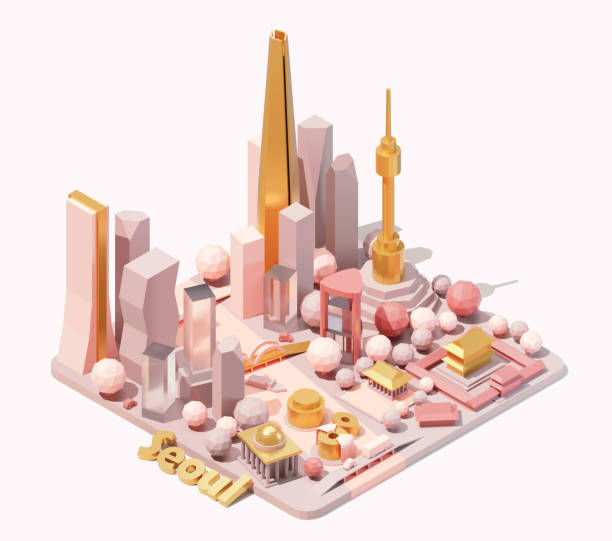
Vector isometric Seoul skyline, South Korea. Low poly illustration. Fictional isometric map. Korean landmarks and famous buildings
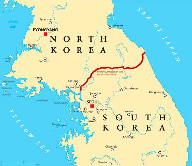
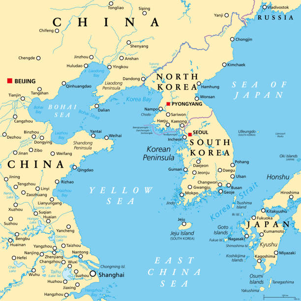
Korean Peninsula, Demilitarized Zone, political map. North and South Korea with Military Demarcation Line, capitals, borders, most important cities and rivers. English labeling. Illustration. Vector.
Map of South Korea created with pink and purple square dots on a blank background. Modern and trendy mosaic illustration in pixel art style. Vector Illustration (EPS file, well layered and grouped). Easy to edit, manipulate, resize or colorize. Vector and Jpeg file of different sizes.

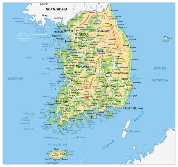
Korean Peninsula Detailed Physical Map Isolated on Retro White Color. Vector illustration. Image contains next layers:

High quality colorful labeled map of South Korea with borders of the regions

"Detailed vector map of South Korea with administrative divisions. File was created on November 26, 2012. The colors in the .eps-file are ready for print (CMYK). Included files: EPS (v8) and Hi-Res JPG (5241aa aaa 5600 px)."

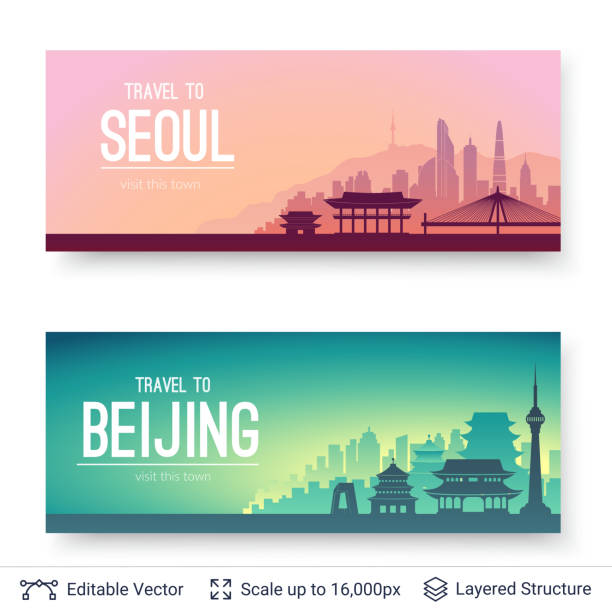
Global connectivity from Seoul, South Korea to other major cities around the world. Technology and network connection, trading and traveling concept. World map element furnished by NASA : https://visibleearth.nasa.gov/collection/1484/blue-marble

Poster Style Topographic / Road map of Seoul, South Korea.


Highly detailed vector map of South Korea with states, capitals and big cities.

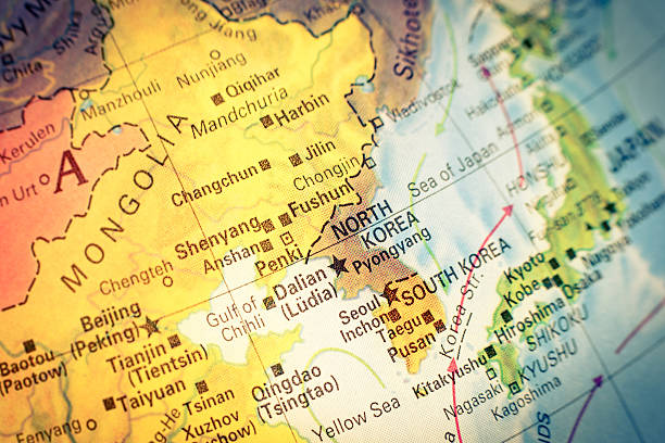
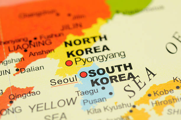
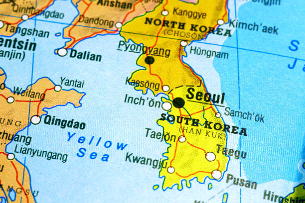
Map of North Korea and South Korea. close-up macro image. Selective focus ,Vintage editing


Isolated map with flag of South Korea Vector illustration

South Korea map, black and white detailed outline regions of the country. Vector illustration

Seoul road and administrative and political vector map, south korea

Welcome to Busan travel. Beautiful rope bridge and cityscape. Busan South Korea metropolitan city skyline with blue buildings. Tourism historic and modern architecture. Busan Tower of Yongdusan Park
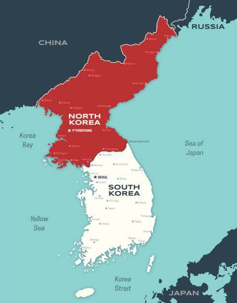
Map of the Korean peninsula including North and South Korea and major cities.
A macro photograph of Japan from a desktop globe. Adobe RGB color profile.

Map of South Korea through magnifying glass


High quality Map Seoul City. vector illustration

Japan, Korea, China Sea and vicinities in a small desktop globe

Close-up of Seoul on a map

Detailed map of China.
South Korea Physical Map. Vector illustration.

South Korea map glowing silhouette outline made of stars lines dots triangles, low polygonal shapes. Communication, internet technologies concept. Wireframe futuristic design. Vector illustration.
Flat well known silhouettes. Vector illustration easy to edit for flyers or web banners.

Rough map of South Korea

made in South Korea labels set, Republic of Korea product emblem
Next