Volcanic Landscape Pictures, Images and Stock Photos
Browse 373,100+ volcanic landscape stock photos and images available, or search for volcano or volcanic crater to find more great stock photos and pictures.
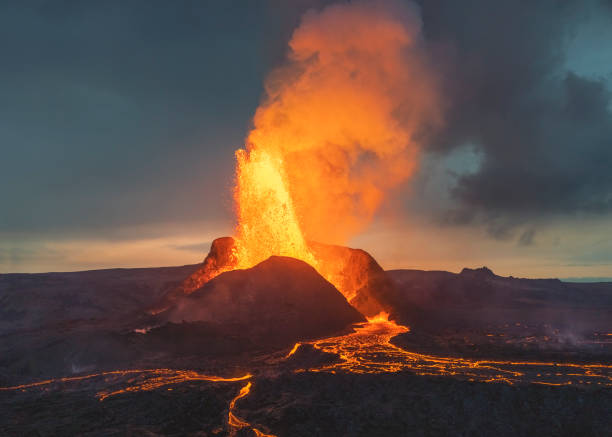
Glowing lava from the volcano eruption in Iceland. Powerful volcanic show from Mother Nature in all its beauty
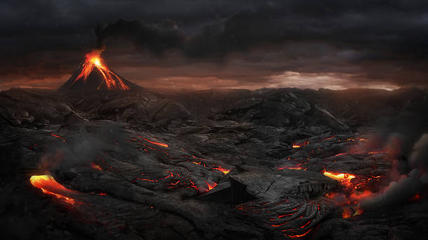
Landscape after volcanic eruption
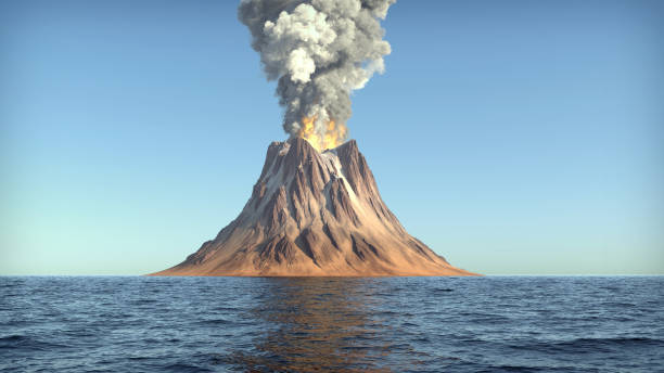
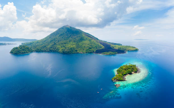
volcano eruption on an island in the ocean
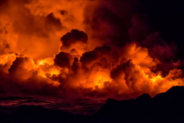
Burning lava and fire flowing into the sea from the Kilauea Volcanic eruption in Hawaii on the Big Island
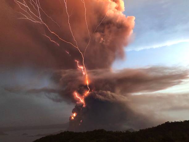
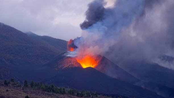
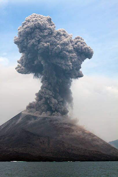
Taal Volcano 2020 Eruption
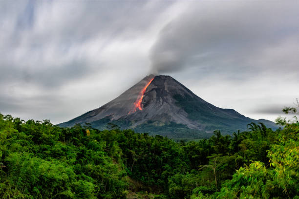
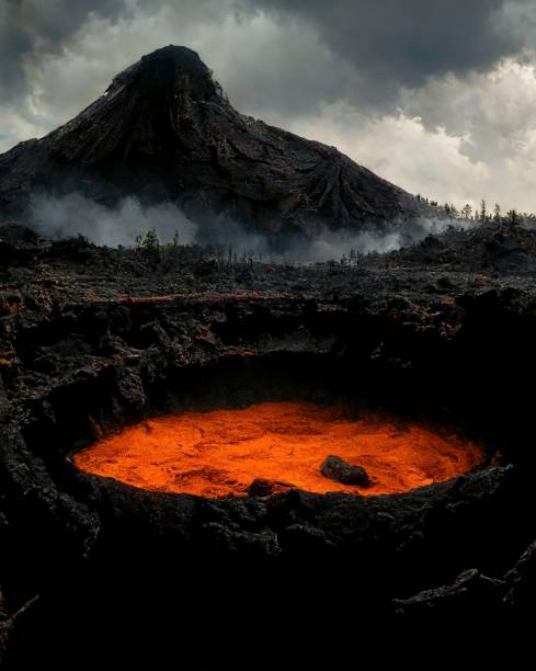
Incandescent lava avalanches from the lava dome of Mount Merapi, Yogyakarta, Indonesia
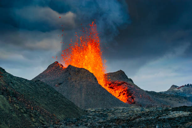
Iceland Volcano Volcanic Eruption with lava at Fagradalsfjall, Reykjanes Peninsula
"A fiery, molten landscape."
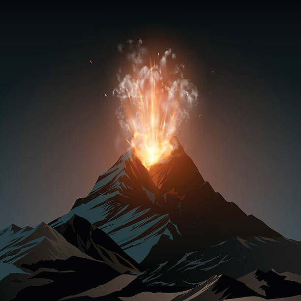
A volcano explodes with smoke and hot red flowing lava.
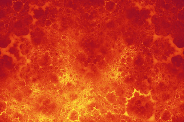
Fire Flame Lava Pattern Abstract Exploding Volcano Eruption Crater Asteroid Meteor Background Red Orange Yellow Gradient Smoke Cloud Defocused Texture Fractal Art for banner, flyer, card, poster, brochure, presentation
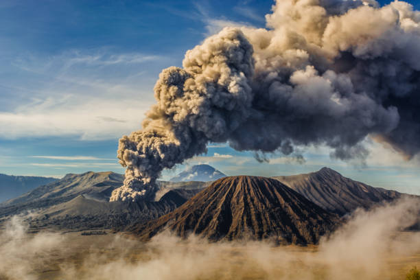
Bromo mountain eruption 2016
Lava - Magma Field at Fagradalsfjall Volcano Iceland. Glowing lava field of Fagradalsfjall Volcano on Iceland at Night. Fagradalsfjall Volcano Lava Field, South-West Iceland, Nordic Countries, Europe.
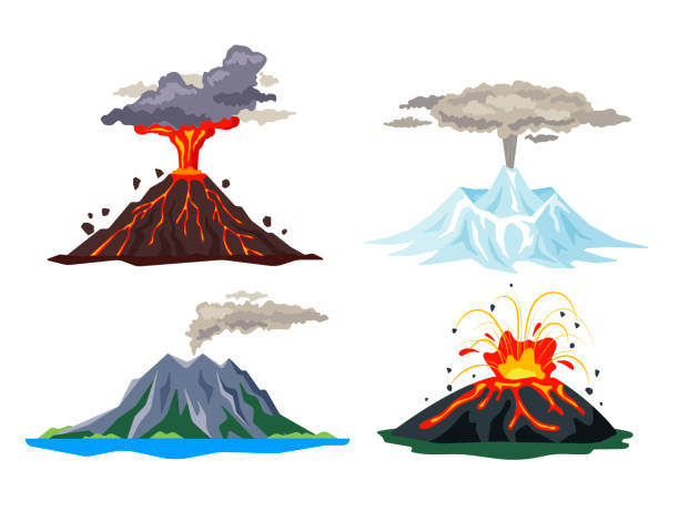
Volcano eruption set with magma, smoke, ashes isolated on white background. Volcanic activity hot lava eruption, sleeping and erupting volcanoes - flat vector illustration.
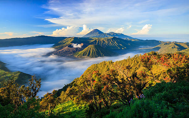
Mount Bromo volcano, East Java, Surabuya, Indonesia
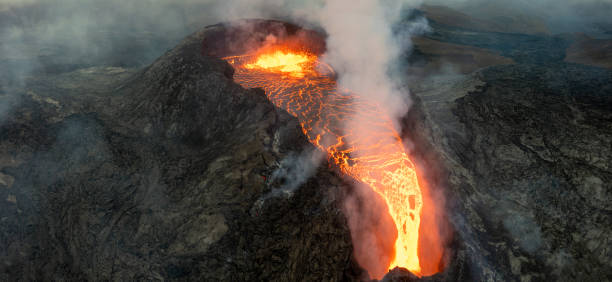
Fagradalsfjall Volcano Eruption Panorama, Aerial view towards the lava stream of the erupting Fagradalsfjall Volcano on Iceland. Fagradalsfjall is a volcano on the Reykjanes Peninsula about 40km from Reykjavík. Its highest summit is Langhóll. A volcanic eruption began in March 2021 in Geldingadalir to the south of Fagradalsfjall. Drone Point of View stiched Panorama Shot. Fagradalsfjall Volcano, Reykjanes Peninsula, Geldingadalir, Iceland
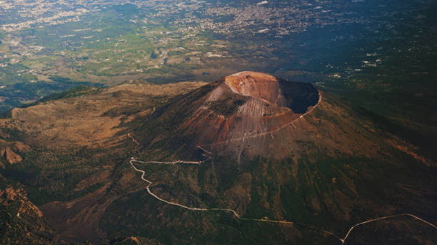
Volcano
The eruption site of Geldingadalir in Fagradalsfjall mountain on the Reykjanes Peninsula in Iceland
Volcano illustration in vector
view of a smoking Stromboli volcano at sunset
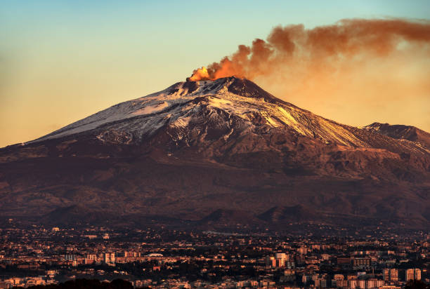
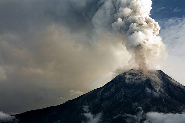
Mount Etna Volcano with smoke at dawn and the Catania city, Sicily island, Italy, Europe

Snowy pines and Chaos Crags and Lassen Peak seen over Reflection Lake at Lassen Volcanic National Park.
Volcano icon cartoon vector. Lava magma. Volcanic eruption

Blue Classic Navy Stone Mineral Dark Cliff Trendy Color of Year 2020 Abstract Solidified Lava Formation Circle Rippled Stripe Mountain Pattern Close-up Ombre Texture Fantastic Planet Landscape Fractal Fine Art

Romantic table for two on the island Santorini, Greece. Views of the sea and the volcano
line icons for Natural Disaster Contains such Icons as earth quake, flood, tsunami
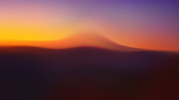
Gradient landscape with volcano. Blurry volumetric silhouettes of hills. Vector wavy background with mountain slopes in fog. Desert wallpaper
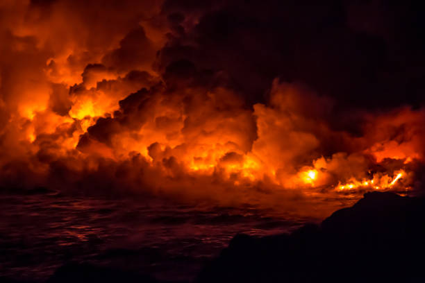
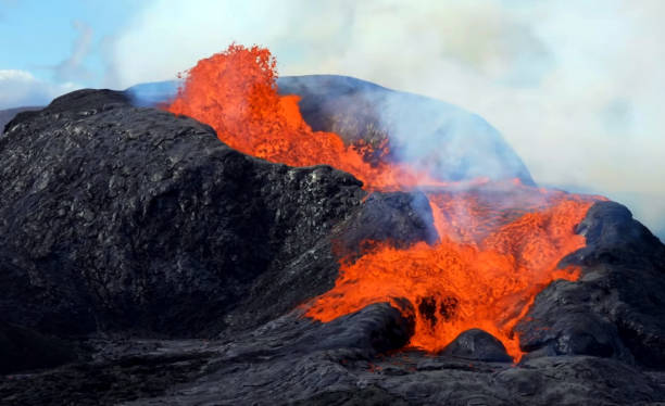
Fire and lava flowing from the volcanic eruption in Hawaii on the Big Island
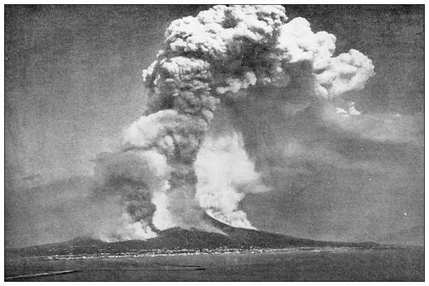
Krakatau erupts plume of smoke. Location: Indonesia. Date of photo: january 2011.

Tropical landscape with a volcano rolled by a cloud and the jungle at its feet. Costa Rica
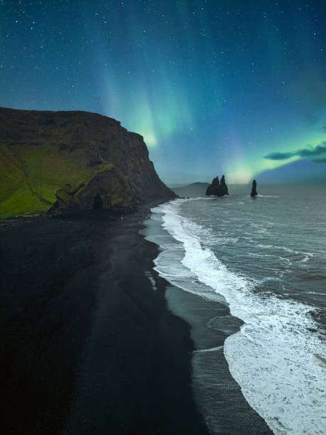
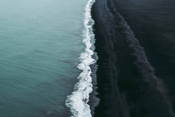
Reynisfjara is a world-famous black sand beach on the South Coast of Iceland. Basalt rocks Reynisdrangar, black volcanic sand and Atlantic ocean in Iceland
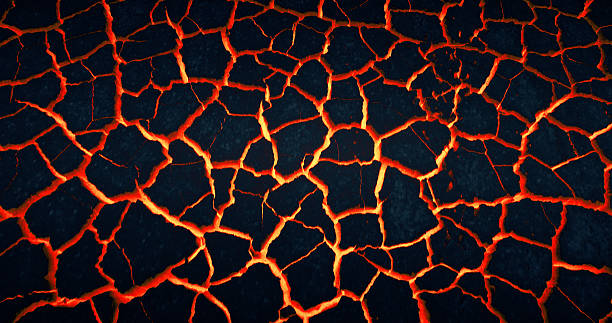
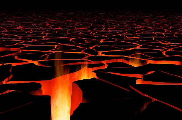
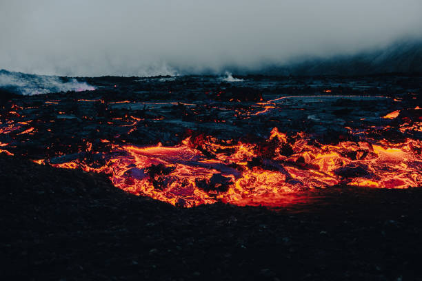
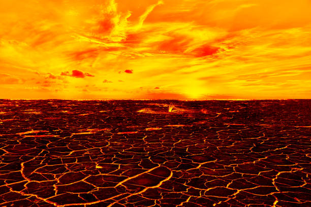
Wasteland. Lava glowing through cracks under dry ground Volcanic landscape

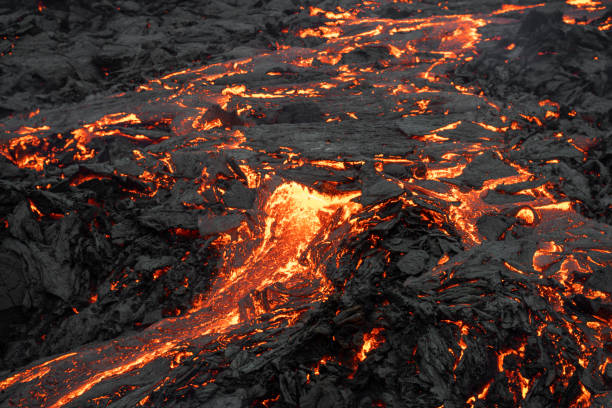
Lava glowing hot orange as it flows down from Kilauea, Volcano on Big Island
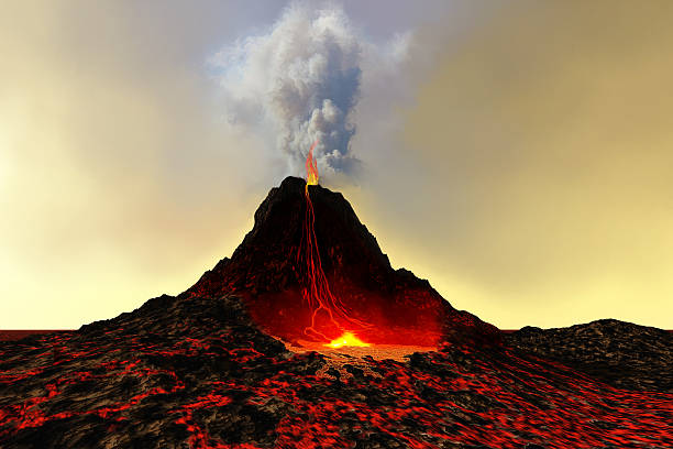
Glowing Lava in Volcano Crater Lake. Dark Lava Covered Mountain in the Background. Lake of Lava Digital Generated Image - CGI Fantasy Unreal Place.
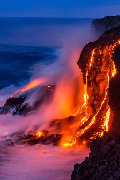
Lava falls over the cliff into the ocean at Kilauea
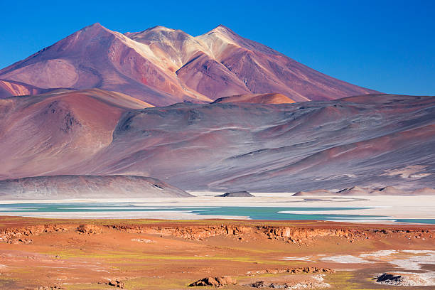
"The salt lake Salar de Talar with surrounding volcanoes in the Atacama Desert, Chile."

Drone photo of a young couple of travelers enjoying the cloudy morning walking at the black sand remote Stokksnes beach with mounain view at East Iceland

Aerial view of la geria Vineyards in Lanzarote, Spain
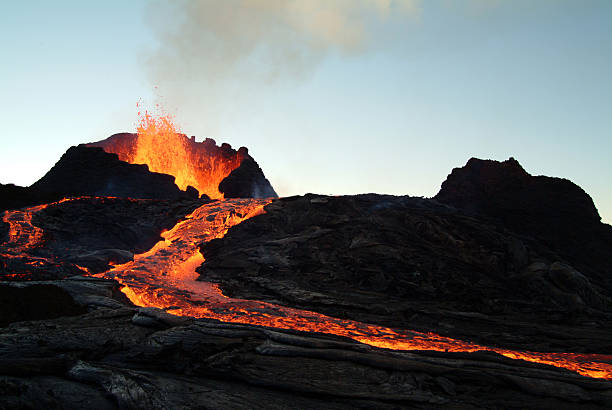
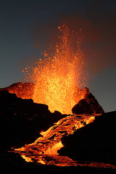
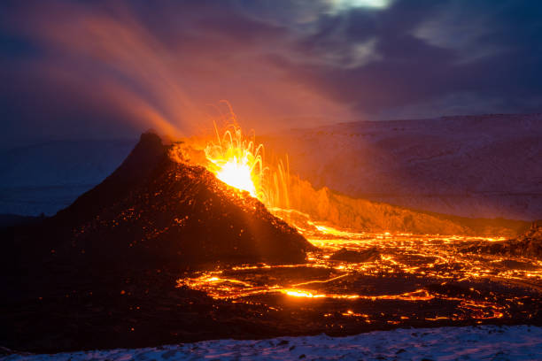
Fagradalsfjall volcano eruptions started in Iceland on 19 of March 2021. Glowing lava running from the crate og active volcano
Volcano icon ash eruption silhouette volcanic pictogram logo isolated set. Vector graphic design

A mesmerizing view of the volcanoes of Auvergne seen from the summit of Puy de Dome
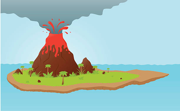
Vector volcano explosing on lonely island in the middle of the ocean
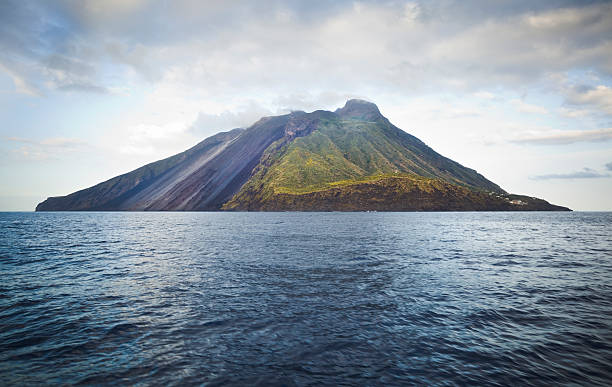
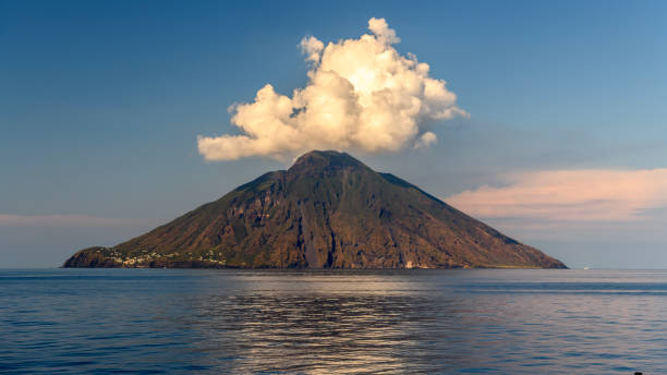
Volcanic Stromboli Island.
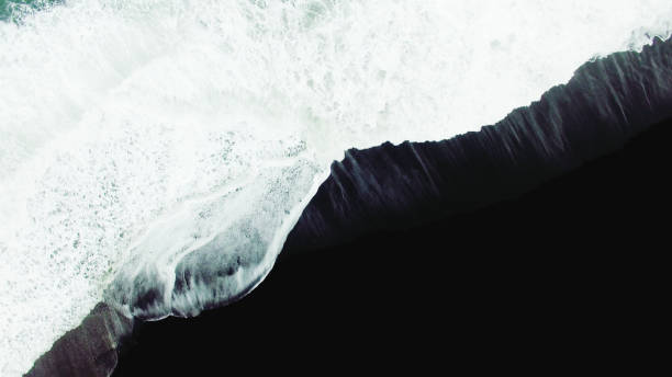
Aerial view of waves constantly hitting black sand beach. Angle of the camera is like that the waves are going diagonally, and making the view more stunning. Wave after wave is going further into the beach, leaving trace with every impact. Waves are also making a lot of foam, leaving it on the beach for more mesmerizing effect.

Taal Volcano in Philippines

Volcanic wonderland with unearthly colored water

Series of Erupting Volcano Mt. Yasur, view towards the erupting volcano crater of the active Mount Yasur Volcano, Tanna Island, Vanuatu, Melanesia, South Pacific

famous giants causeway stones infinity horizon over the atlantic ocean in northern ireland, europe.
Volcano linear icon. Vector Volcanic Eruption concept line symbol
Next