Cartoon Map England stock vectors
Browse 700+ cartoon map england stock illustrations and vector graphics available royalty-free, or start a new search to explore more great stock images and vector art.
Most popular
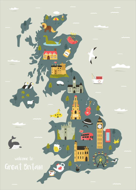
Cartoon map of United Kingdom (England, Scotland, Wells, Northen Irland) . all objects isolated.

Illustration map with animals, nature and landmarks. Vector illustration

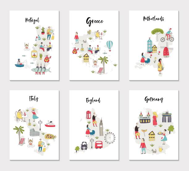
Big set of illustrated maps of of Europe with cute and fun hand drawn characters, plants and elements. Color vector illustration

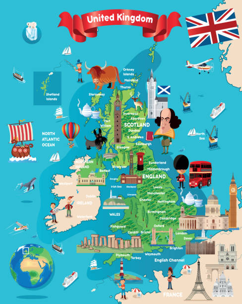
Hand drawn map of the United Kingdom including England, Wales, Scotland and Northern Ireland and their capital cities. Colorful hand drawn vector illustration.

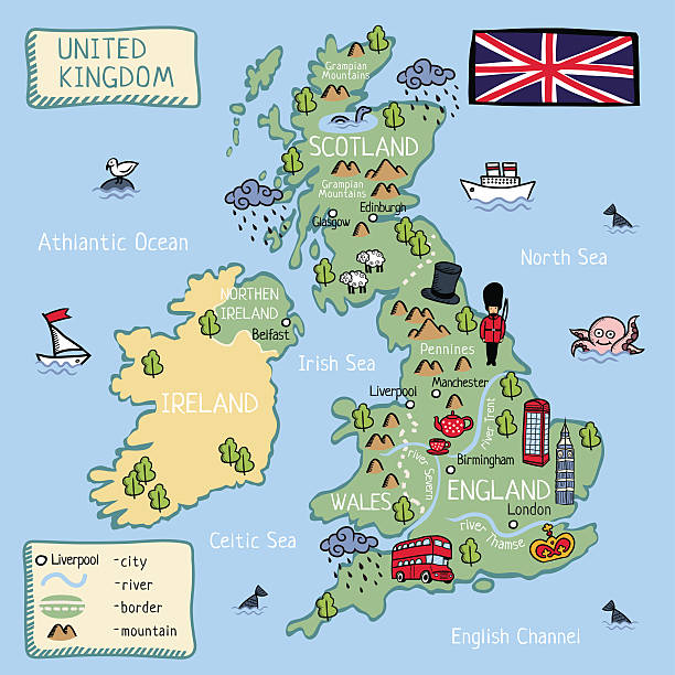
Cartoon map of the United Kingdom. Children poster.
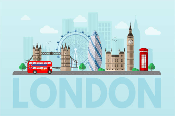
London cityscape blue flat vector illustration. Great Britain tourist attractions cliparts. World famous UK architectural landmarks. Big ben, London Eye, double decker bus. England sightseeing tour
Vector illustration

VECTOR WORLD TRAVEL
Vector uk cartoon map http://legacy.lib.utexas.edu/maps/europe/united_kingdom_pol87.jpg
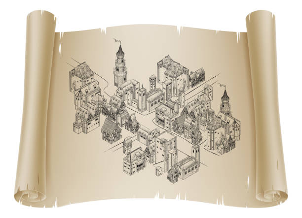
A medieval town map illustration in a vintage retro engraved woodcut etching style
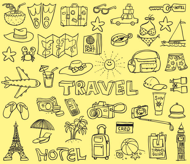
Vector illustration of a funny doodles with the theme of traveling and vacations

Vector illustration World Travel symbols
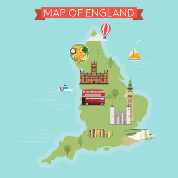
Map of England. Flat style illustration.

A medieval building map icon isometric illustration in a vintage retro engraved woodcut etching style

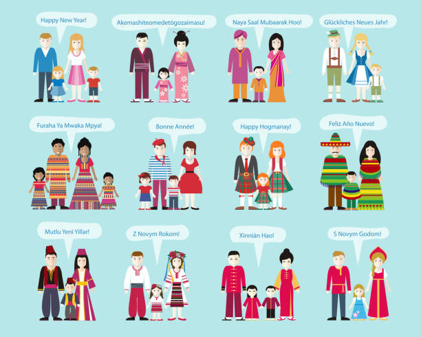
Different nationalities Happy New Year. Family man and woman with child, Russian and Ukrainians, Americans and Africans, Chinese and Mexicans, Scots and Germans, French and Indians illustration

An map of the UK showing the location of the major cities. The style is slightly cartoony but the map outline and locations are accurate. There are 10 layers to help editing. Please note this is an Illustrator 10 file, with some transparency in the clouds layer.
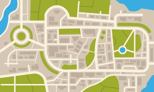
City navigation map. Flat plan of streets parks and river with top view, simple cartoon city map. Vector illustration downtown pattern with beautiful mapping image town squares, square

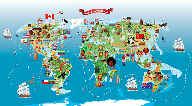
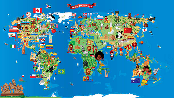
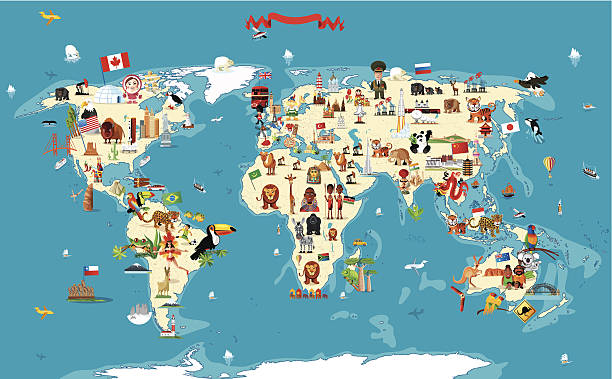
World Cartoon Map I have used http://legacy.lib.utexas.edu/maps/world_maps/world_physical_2015.pdf address as the reference to draw the basic map outlines with Illustrator CS5 software, other themes were created by myself.
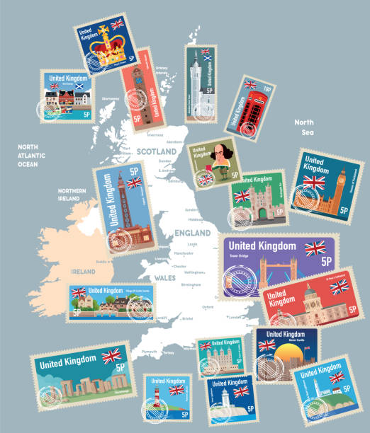
Vector United Kingdom Map

CARTOON MAP OF WORLD I have used http://legacy.lib.utexas.edu/maps/world_maps/world_physical_2015.pdf


earth / cartoon vector and illustration, black and white, hand drawn, sketch style, isolated on white background.

a vector map of Europe
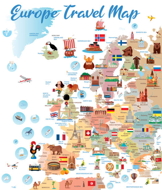
Vector EUROPE MAP http://legacy.lib.utexas.edu/maps/europe/europe_ref_2012.pdf

Happy couples traveling in Europe and taking photo isolated flat vector illustration. Cartoon group of people with backpack, camera and map. Vacation and tourism concept

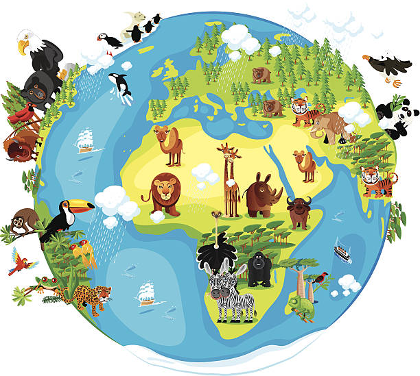
Earth I have used http://legacy.lib.utexas.edu/maps/world_maps/world_physical_2015.pdf address as the reference to draw the basic map outlines with Illustrator CS5 software, other themes were created by myself.

Flight travel trip banner for online booking. Vector Airplane ticket online sale design promo template.
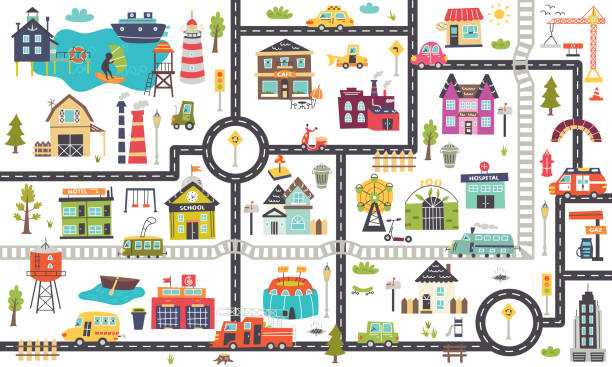
Horizontal children's map with roads, cars, buildings.Nursery design for posters, carpet, children's room. Vector illustration


Hello in different languages. Colorful speech bubbles with hello word.

Time zones abstract concept vector illustration. Time standard, international business coordination, meeting management, utc converter, gmt, world clock calculator, jet lag abstract metaphor.

Hand drawn bookshelf with travel literature, globe, holiday photos and city guides

Vector WORLD TRAVEL

Metro station, arriving train to empty subway platform from underground tunnel. Vector cartoon illustration of subway interior with ticket vending machine, seats, map and stairs

world or earth / cartoon vector and illustration, hand drawn, sketch style, isolated on white background.

Travel Everywhere Concept. Cartoon Man Woman with Map Suitcase Bag Vector Illustration. Famous Europe Monuments Eiffel Tower Paris London Pizza Background. Buy Flight Ticket Online App
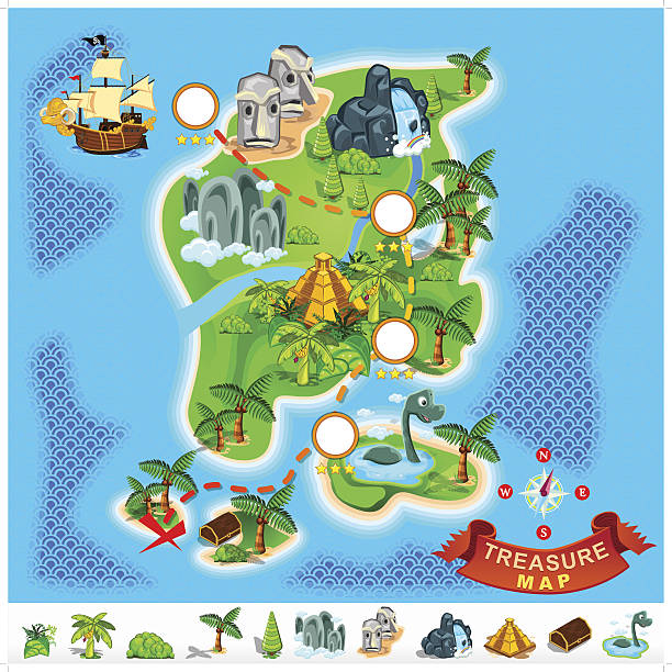
Various Exotic Location from Pirate Treasure Map
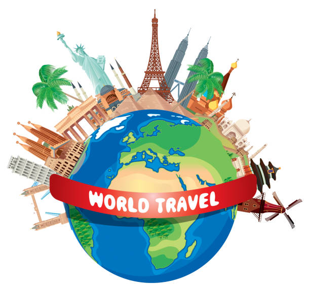
Vector World Travel
School icons set with studing little people. Doodle cute miniature of teamwork and lessons. Hand drawn cartoon vector illustration for school subject design.


London sightseeing holiday flat vector illustration. Girlfriends tourist with backpacks taking selfie on smartphone cartoon characters. European city landmarks excursion. Vacation in Europe

Vector illustration World Travel symbols

earth / cartoon vector and illustration, black and white, hand drawn, sketch style, isolated on white background.
Next