Massachusetts State Map stock vectors
Browse 900+ massachusetts state map stock illustrations and vector graphics available royalty-free, or start a new search to explore more great stock images and vector art.
Most popular
Highly detailed map of Massachusetts for your design and products.
Massachusetts State Concept
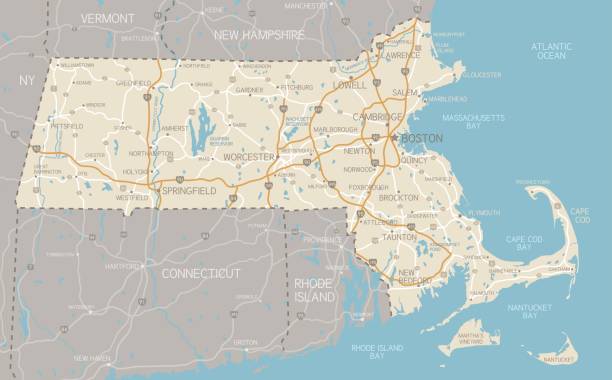
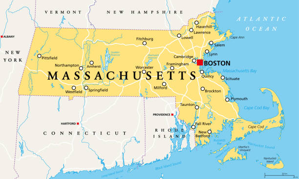
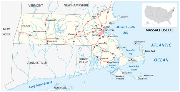
A detailed map of Massachusetts state with cities, roads, major rivers, and lakes. Includes neighboring states and surrounding water.
massachusetts road vector map.
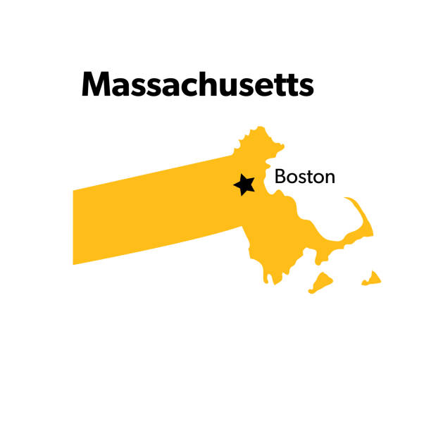
Isolated U.S.A State With Capital City
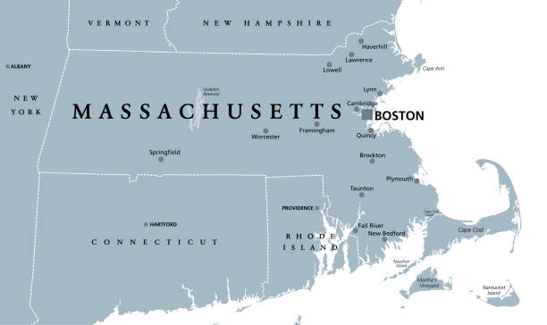
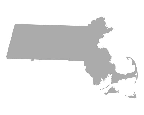
Massachusetts, gray political map, with capital Boston. Commonwealth of Massachusetts, MA. Most populous state in the New England region of United States. The Bay State. English. Illustration. Vector.

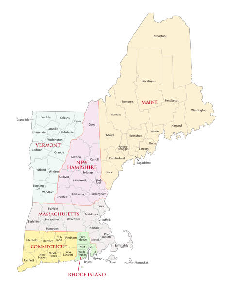
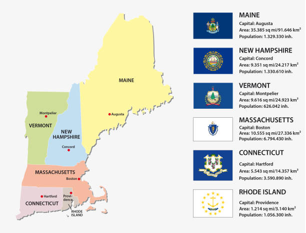
New England region, colored map. A region in the United States of America, consisting of the six states Maine, Vermont, New Hampshire, Massachusetts, Rhode Island and Connecticut. Illustration. Vector
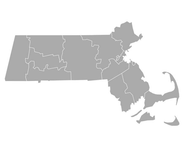
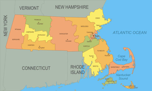
Detailed state-county map of Massachusetts.
vector illustration of Massachusetts map
Massachusetts, political map with capital Boston. Commonwealth of Massachusetts, MA. Most populous state in the New England region of the United States. The Bay State. English. Illustration. Vector.
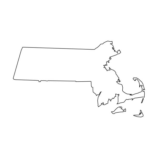
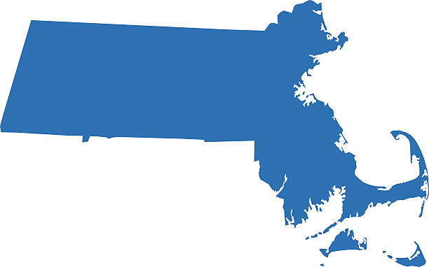
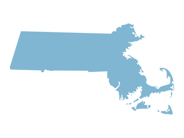
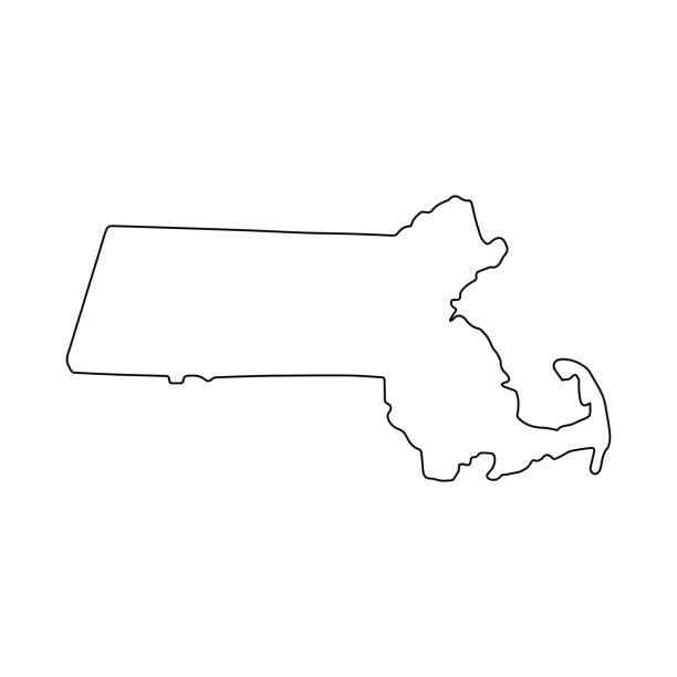
Massachusetts, state of USA - solid black outline map of country area. Simple flat vector illustration.
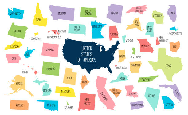
USA map with separated states. Colorful outlines of the 50 states with labels

3d map of Massachusetts is a state of United States
Detailed map of Massachusetts with surroundings, provinces and capital
vector illustration of Massachusetts map
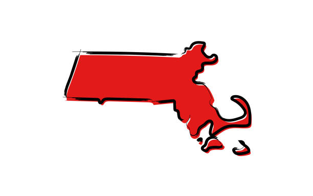
Stylized red sketch map of Massachusetts illustration vector


New england states road vector map
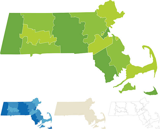
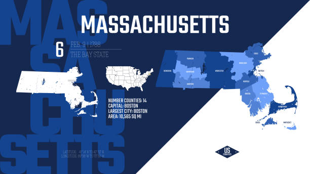
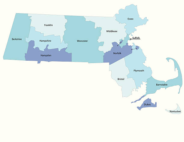
"Highly-detailed Massachusetts county map. Each county shape is in a separate labeled layer. All layers have been alphabetized for easy manipulation, recoloring or other use. (note: labels only available in AICS2 and AI10 files)"
Line USA state, American map illustration, America vector isolated on white background, outline style
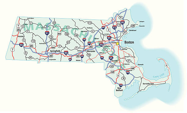
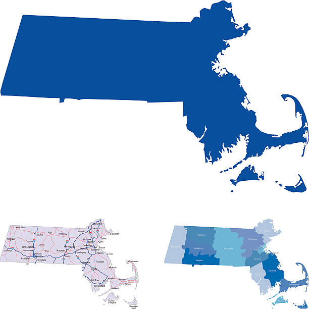
illustration of Massachusetts state map with road map for your design and products.

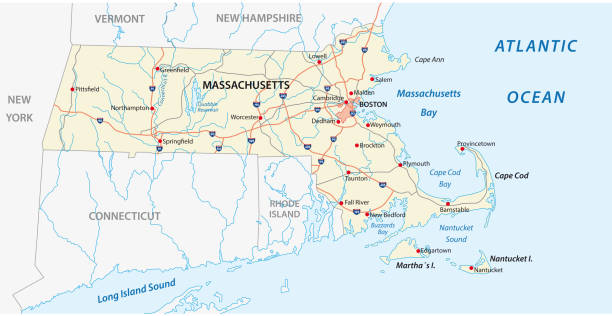
Highway map of the state of Massachusetts with Interstates and US Routes. It also has lines for state and county routes (but not labeled) and many cities on it as well. All cities are the County Seats and the Capitol (and some others).

Map of Massachusetts isolated on a realistic blueprint with measures.

massachusetts administrative and political vector map
New england states vector map

Map of Massachusetts with a retro style, a vintage effect on an old textured paper.

Abstract image Massachusetts map from point blue and glowing stars on a dark background. vector illustration.


vector illustration of Massachusetts map

Poster map of United States of America with state names. Print map of USA for t-shirt, poster or geographic themes. Hand-drawn colorful map with states. Vector Illustration
New england states vector map with flags


New England region of the United States of America, gray political map. The six states Maine, Vermont, New Hampshire, Massachusetts, Rhode Island and Connecticut with capitals. Illustration. Vector.

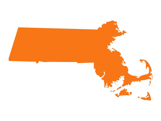
Massachusetts map shape, united states of america. Flat concept icon symbol vector illustration .

Highly-detailed Massachusetts county map. Each county is in it's own separate labeled layer. County names are in a separate layer and can be easily adjusted or removed as well. All layers have been alphabetized for easy manipulation, recoloring or other use.
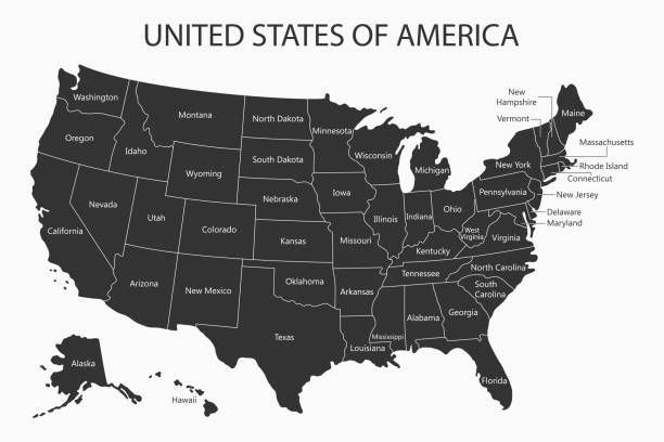
USA map with states names. United States of America cartography. Vector illustration.

illustration of highly detailed U.S.A map with all state for your design , products and print.
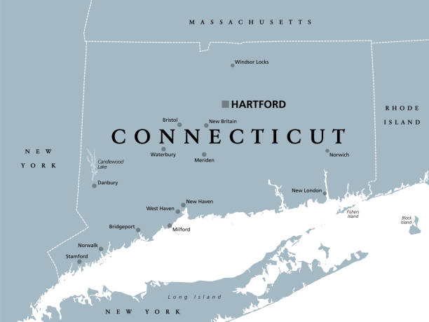
Connecticut, political map with capital Hartford. State of Connecticut, CT, southernmost state in New England region of northeastern United States of America. Gray illustration, over white. Vector.
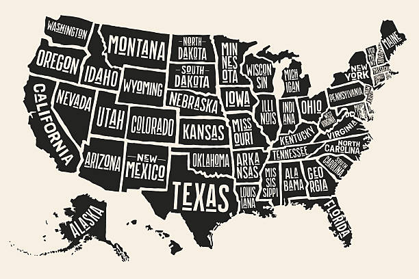
Poster map of United States of America with state names. Black and white print map of USA for t-shirt, poster or geographic themes. Hand-drawn black map with states. Vector Illustration
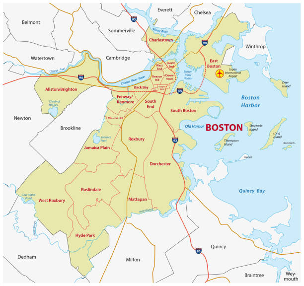
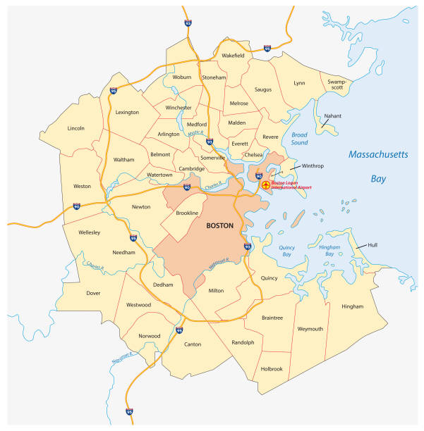
Boston administrative and political vector map

Massachusetts US state map red outline border. Vector illustration isolated on white. Two-letter state abbreviation. Editable stroke. Adjust line weight.


Map of Massachusetts on a blackboard texture with chalk traces.

Vector Illustration
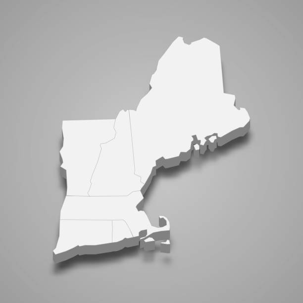
3d isometric map New England Region of United States, isolated with shadow

Stylized map of the U.S. State of Massachusetts vector illustration. Silhouette and outline witth name inscription


Detailed map of Massachusetts with surroundings, provinces and capital

Next