
New York City Skyline Aerial stock vectors
Browse 140+ new york city skyline aerial stock illustrations and vector graphics available royalty-free, or start a new search to explore more great stock images and vector art.
Most popular


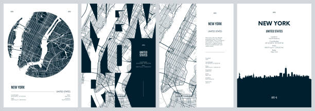
Topographic / Road map of Manhattan, NY - Poster Style. Original map data is public domain sourced from www.census.gov/

City at Sunset in the Porthole. Vector illustration.

New york usa line concept icon. New york usa flat vector website sign, outline symbol, illustration.

United States, New York Staten Island city skyline isolated vector illustration. United States, New York Staten Island travel cityscape with landmarks
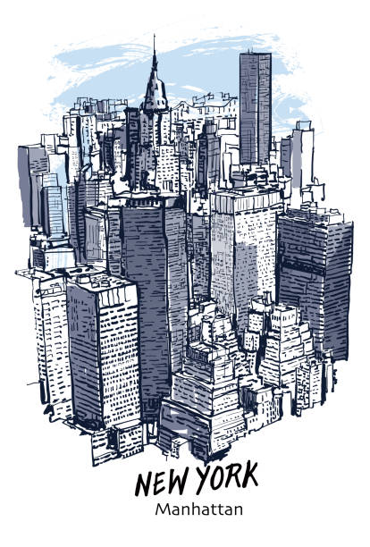
New York, Manhattan cityscape - vector illustration

New York, New York City architecture line skyline illustration. Linear vector cityscape with famous landmarks, city sights, design icons. Editable strokes

City skyline Vector illustration. Urban landscape. Daytime cityscape

City skyline Vector illustration. Urban landscape. Daytime cityscape


New york skyline line concept icon. New york skyline flat vector website sign, outline symbol, illustration.


Topographic / Road map of Staten Island, NYC. Map data is public domain via census.gov. All maps are layered and easy to edit. Roads are editable stroke.


Topographic / Road map of Newark, NJ. Map data is public domain via census.gov. All maps are layered and easy to edit. Roads are editable stroke.

Topographical / Road map of Manhattan, NY

Poster Style Topographic / Road map of The Bronx, NYC. Map data is public domain via census.gov. All maps are layered and easy to edit. Roads are editable stroke.

Poster Style Topographic / Road map of Brooklyn, NYC. Map data is public domain via census.gov. All maps are layered and easy to edit. Roads are editable stroke.


Flat cityscape. Vector illustration. Modern City Skyline, Daytime Panoramic Urban Landscape with Silhouette Buildings and Skyscraper Towers. EPS 10


City skyline Vector illustration. Urban landscape. Daytime cityscape
New York city line icon. Element of USA states illustration icons. Signs, symbols can be used for web, logo, mobile app, UI, UX on white background

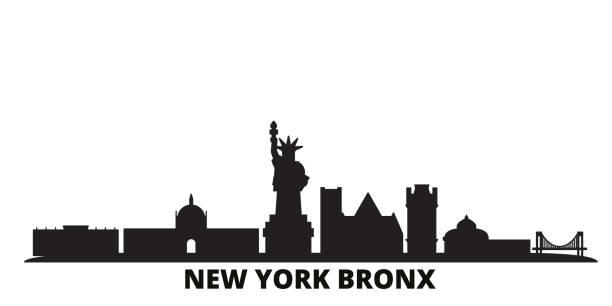
United States, New York Bronx city skyline isolated vector illustration. United States, New York Bronx travel cityscape with landmarks


Topographic / Road map of The Bronx, NYC. Map data is public domain via census.gov. All maps are layered and easy to edit. Roads are editable stroke.

Topographic / Road map of Staten Island, NYC. Map data is public domain via census.gov. All maps are layered and easy to edit. Roads are editable stroke.

Poster Style Topographic / Road map of Brooklyn, NYC. Map data is public domain via census.gov. All maps are layered and easy to edit. Roads are editable stroke.

Topographic / Road map of Manhattan, NY - Poster Style. Original map data is public domain sourced from www.census.gov/

Topographical / Road map of Manhattan, NY

Topographic / Road map of Jersey City, NJ. Map data is public domain via census.gov. All maps are layered and easy to edit. Roads are editable stroke.

Topographic / Road map of Jersey City, NJ. Map data is public domain via census.gov. All maps are layered and easy to edit. Roads are editable stroke.

silhouette vector cityscape illustration


Night sky and moon over city silhouette cityscape illustration. Modern boho background with moonrise in town. Minimalist wall decor. Vector art print


city skyline building skyscrapers sunset view vector illustration

Poster Style Topographic / Road map of Newark, NJ. Map data is public domain via census.gov. All maps are layered and easy to edit. Roads are editable stroke.


City skyline of New York - Vector illustration

United States, New York Bronx travel landmarks, vector city tourism illustration


Empire state New York golden icon vector image template
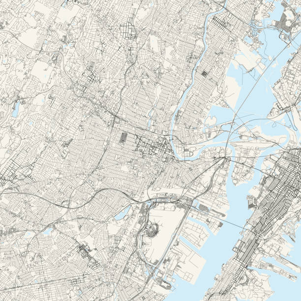
Topographic / Road map of Newark, NJ. Map data is public domain via census.gov. All maps are layered and easy to edit. Roads are editable stroke.

Manhattan, New York architecture line skyline illustration. Linear vector cityscape with famous landmarks, city sights, design icons. Editable strokes

Poster Style Topographic / Road map of Queens, NYC. Map data is public domain via census.gov. All maps are layered and easy to edit. Roads are editable stroke.

Queens, New York architecture line skyline illustration. Linear vector cityscape with famous landmarks, city sights, design icons. Editable strokes


Topographic / Road map of Brooklyn, NYC. Map data is public domain via census.gov. All maps are layered and easy to edit. Roads are editable stroke.


Topographic / Road map of Manhattan, NY - Poster Style. Original map data is public domain sourced from www.census.gov/

Vector illustration - abstract composition with 3D effect - an overhead view of skyscrapers and a street intersection with yellow taxis. Concept - a modern city
Next