North America Terrain Map stock vectors
Browse 6,300+ north america terrain map stock illustrations and vector graphics available royalty-free, or start a new search to explore more great stock images and vector art.
Most popular
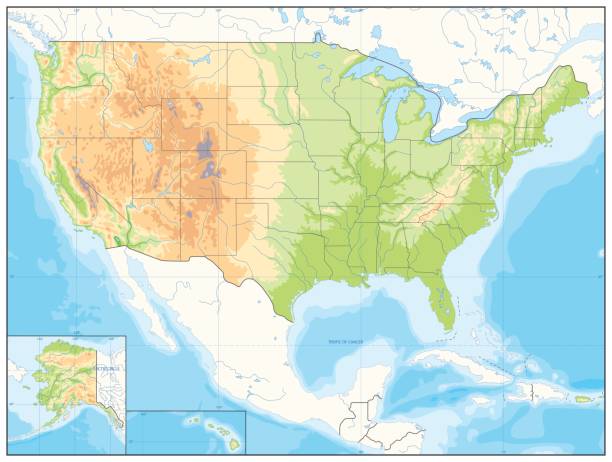
Detailed Relief map of USA. No text. Vector illustration.
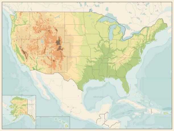
Detailed Relief map of USA. Retro color. No text

Highly detailed colored vector illustration of North America map -
Vector illustration of a detailed map of North America.

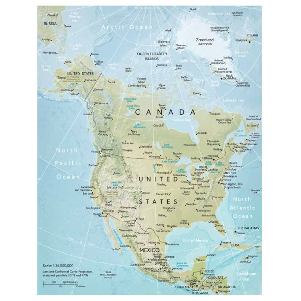
Vector illustration of the physical map of North America Reference map was created by the US Central Intelligence Agency and is available as a public domain map at the University of Texas Libraries website. https://www.cia.gov/library/publications/resources/the-world-factbook/graphics/ref_maps/physical/pdf/north_america.pdf

Retro Color Political Map of USA with water objects, cities and capitals.

Retro Color Physical map of USA with water objects, cities and capitals.

Highly detailed colored vector illustration of North America map -
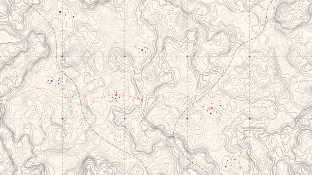
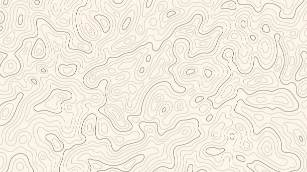
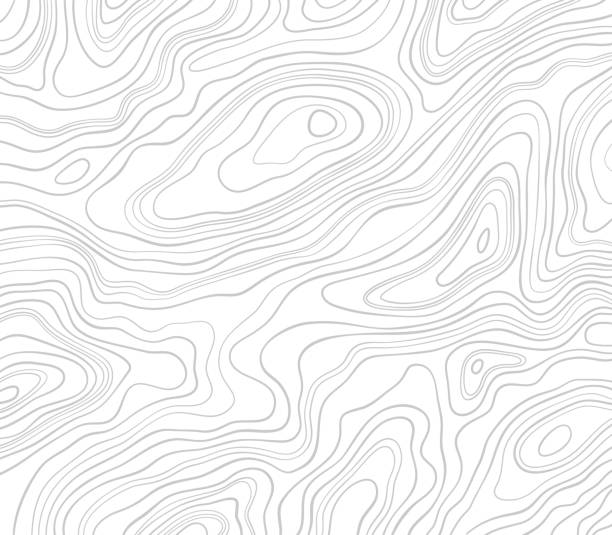
Vintage Detailed Contour Topographic Map Of Wild West Abstract Vector Background
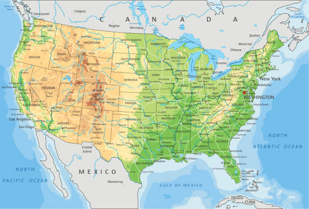
USA detailed physical map with roads, railroads, water objects, cities and capitals.

Large detailed road map of United States

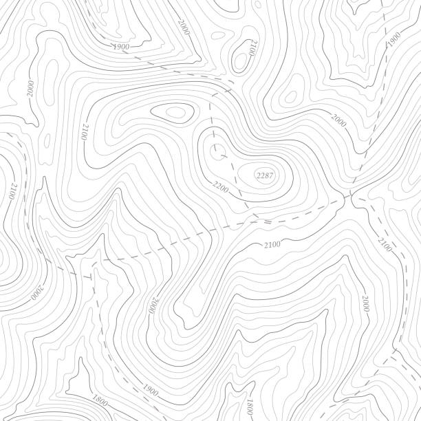
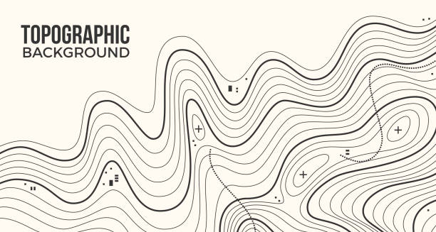
Abstract Blank Detailed Topographic Contour Map Subtle White Vector Background

Light topographic topo contour map background, stock vector illustration
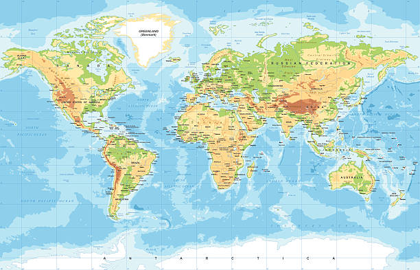
Highly detailed colored vector illustration of world map -
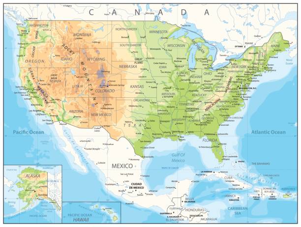
High detailed United States of America physical map with labeling. Organized vector illustration on seprated layers.

World Map and Flags Physical Topographic - Vector Detailed Illustration

World Map and Poles - Vintage Physical Topographic - Vector Detailed
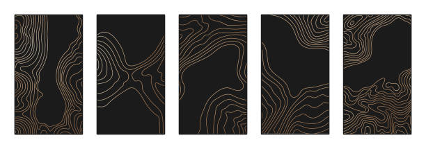
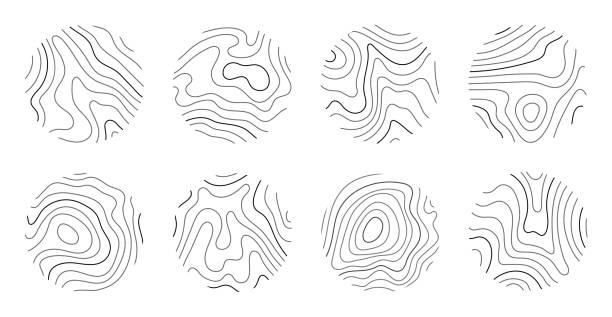
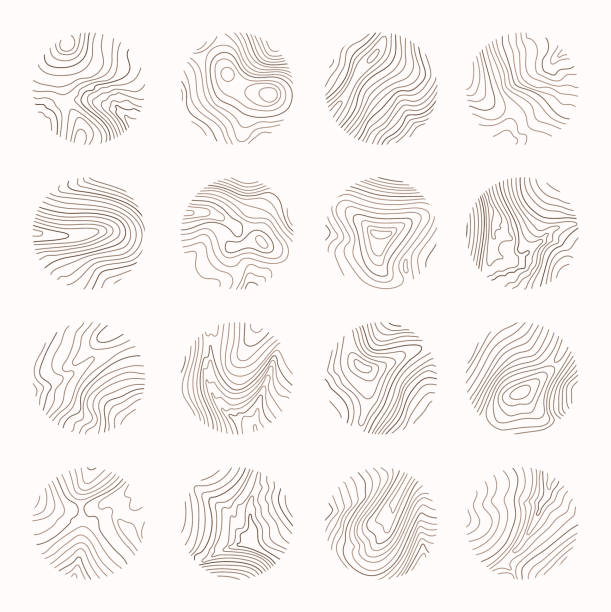
Topographic map patterns, topography line map. Vintage outdoors style.
Topographic lines abstract smooth pattern background.

A Vector 3d Map of the USA in Illustrator EPS format.

Highly detailed colored vector illustration of world map -

World Map Physical Topographic - Vector Detailed Illustration
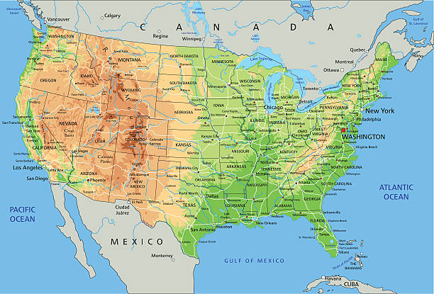
High detailed physical map of United States of America with labeling.
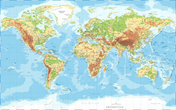
World Map Physical Topographic - Vector Detailed Illustration

Deep blue layers abstract water background concept.
Sea Abyss Crater Vector Topographic Map With Depth Route And Coordinates Conceptual User Interface Dark Green Background. Topography Relief Of Dormant Volcano Underwater Area Abstract Illustration
Topographic map abstract background concept illustration.
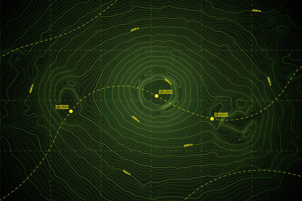
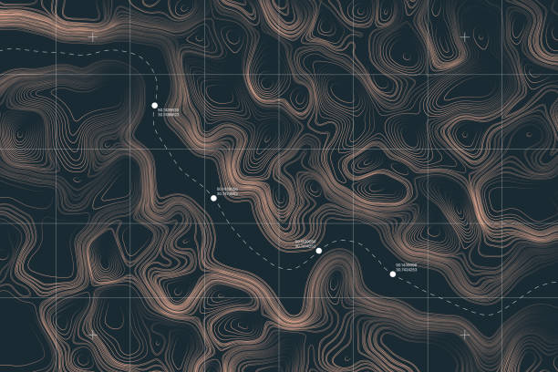
Vector Modern Dark Grey Topography Contour Map With Relief Elevation. Geographic Terrain Area Satellite View Digital Cartographic UI. Mountains Hiking Route Coordinates Abstract Illustration
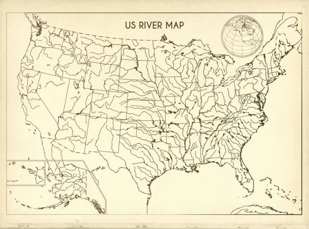
Public Domain Map Source: http://legacy.lib.utexas.edu/maps/united_states/us-rivers_and_lakes-2003.pdf

High detailed physical map of North America with labeling
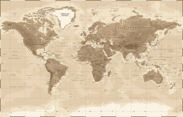
World Map Physical Vintage - vector illustration
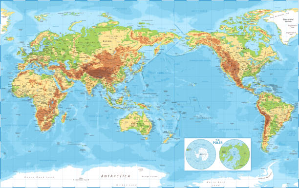
World Map Pacific China Asia View - Physical Topographic - Vector Detailed Illustration
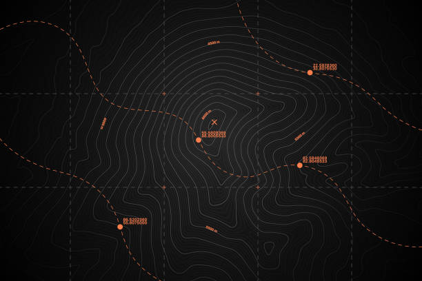
View From Above Lie Of The Ground Conceptual Vector Topographic Map With Route And Coordinates Abstract Blue Background
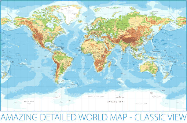
World Map Physical Topographic - Vector Detailed Illustration
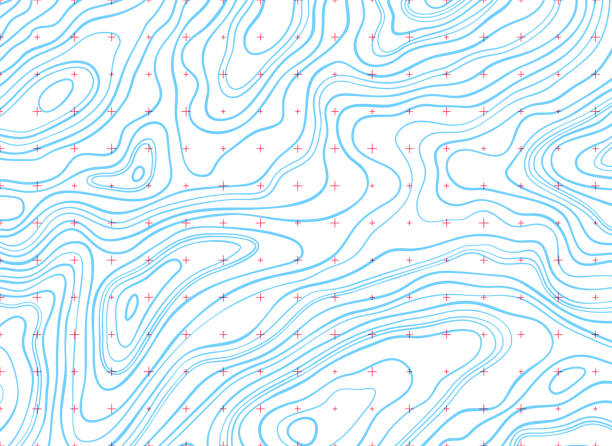
Background of topographic line contour map, geographic grid map. Stock vector illustration
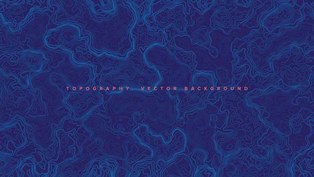
Blue Topographic Contour Map Vector Abstract Background. Render Wavy Lines Ultra Wallpaper. Conceptual Sci-Fi Marine Technology Futuristic Line Art Illustration
Contour lines on topographic maps, geographic map pattern. Vector set of social media stories template with copy space.

World Map and Poles - Vintage Physical Topographic - Vector Detailed
Growth rings of a tree. Wood stump line design. Vector illustration.

Blue horizontal topographic background.
View From Above Alien Terrain Conceptual Vector Topographic Map With Route And Coordinates User Interface Abstract Background
Isoline topographic lines background abstract design.
Line topography map logo. Wood ring texture, vector logo tree ring, editable stroke.
Tree ring, wood line art. Vector topography illustration.

Ocean Water Topographic Background isolines.

Golden yellow abstract background layers.

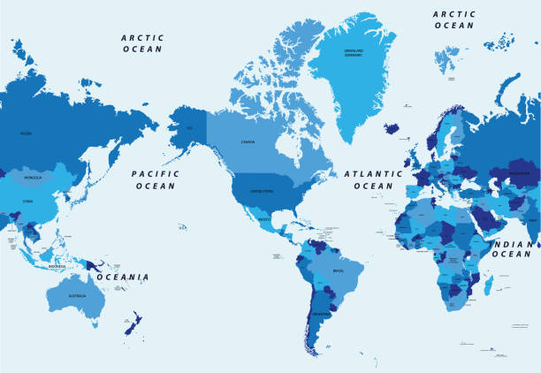
World Map American View - Physical Topographic - Vector Detailed Illustration - America in Center

Contour lines on topographic maps, geographic map pattern. Vector set of social media stories template with copy space.

Abstract paper cut-out paper topography layers background.
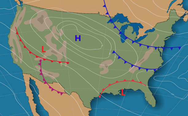
Weather forecast USA. Meteorological weather map of the United State of America. Realistic synoptic map USA with aditable generic map showing isobars and weather fronts. Topography and physical map.EPS 10
Topographic map lines background.

Black flat blank highlighted locator administrative map of the Canadian province of PRINCE EDWARD ISLAND inside gray flat map of CANADA
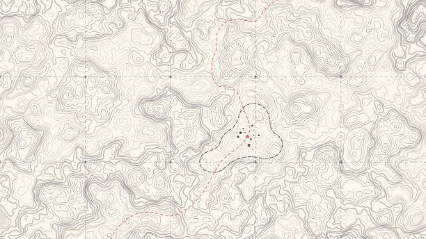
Vintage Detailed Contour Topographic Map Of Wild West Abstract Vector Background

Topographic map patterns, topography line map. Outdoor vector background, editable stroke.

Abstract topography lines background.

Contour lines on topographic maps, geographic map pattern. Vector set of social media stories template with copy space.

Layered gradient abstract river valley background pattern.

Contour lines on topographic maps, geographic map pattern. Vector set of social media stories template with copy space.
Next