North Carolina Map Outline stock vectors
Browse 2,000+ north carolina map outline stock illustrations and vector graphics available royalty-free, or start a new search to explore more great stock images and vector art.
Most popular
Vector Illustration of the Silver Map of USA State of North Carolina
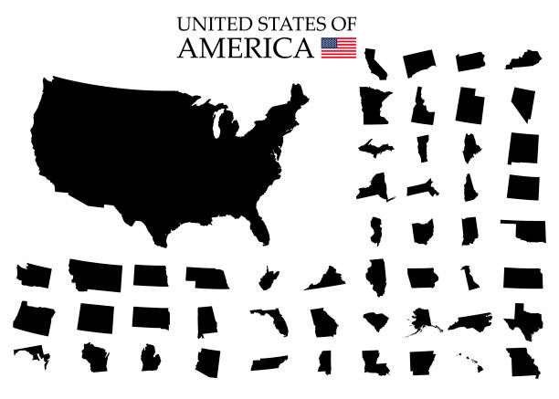

illustration of highly detailed U.S.A map with all state for your design , products and print.
Vector illustration of two blue North Carolina icons.

vector illustration of North Carolina map
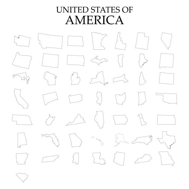
Vector icons of the complete United States of America states map.

Vector illustration of a blue North Carolina state icon with shadow.
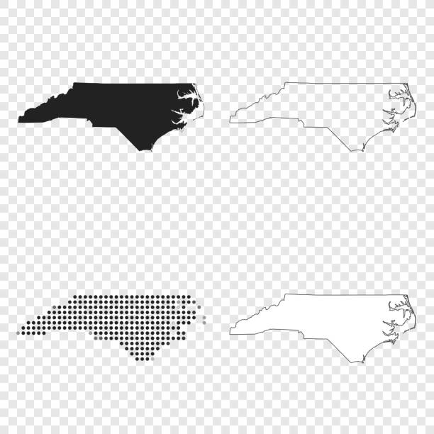
Map of North Carolina for your own design. With space for your text and your background. Four maps included in the bundle: - One black map. - One blank map with only a thin black outline (in a line art style). - One mosaic map. - One white map with a thin black outline. The 4 maps are isolated on a blank background (for easy change background or texture).The layers are named to facilitate your customization. Vector Illustration (EPS10, well layered and grouped). Easy to edit, manipulate, resize or colorize.
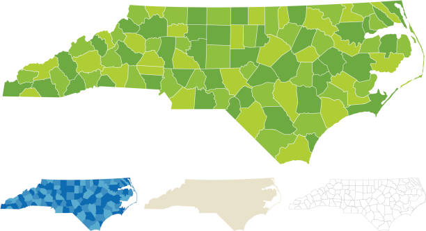
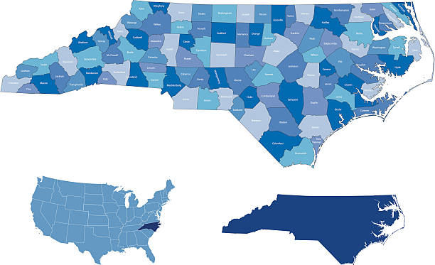
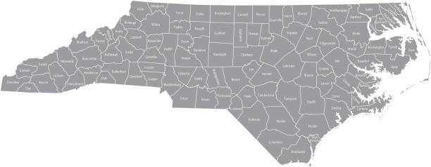
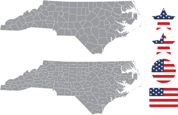
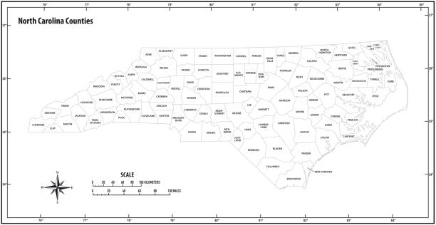
"Highly-detailed North Carolina county map. Each county shape is in a separate labeled layer. All layers have been alphabetized for easy manipulation, recoloring or other use. (see image below -- note: labels only available in AICS2 and AI10 files)"
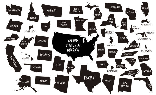
outline of USA maps
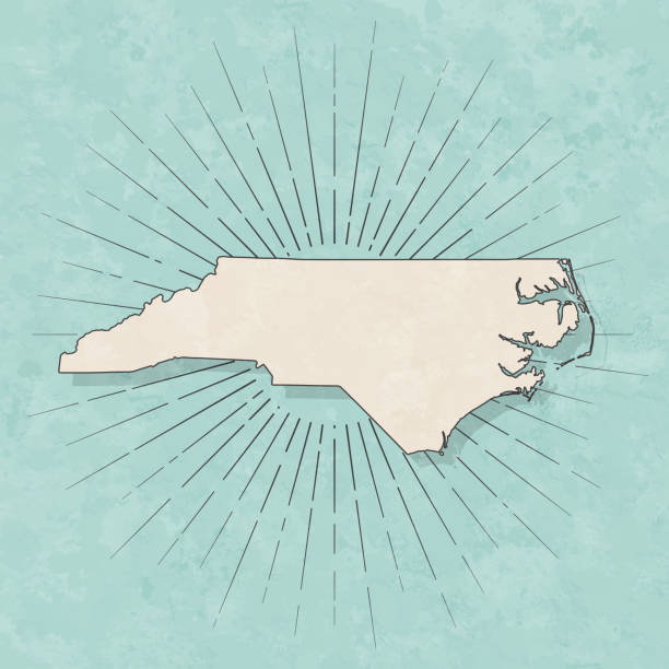
Map of North Carolina in a trendy vintage style. Beautiful retro illustration with old textured paper and light rays in the background (colors used: blue, green, beige and black for the outline). Vector Illustration (EPS10, well layered and grouped). Easy to edit, manipulate, resize or colorize.

North Carolina US state map red outline border. Vector illustration isolated on white. Two-letter state abbreviation. Editable stroke. Adjust line weight.
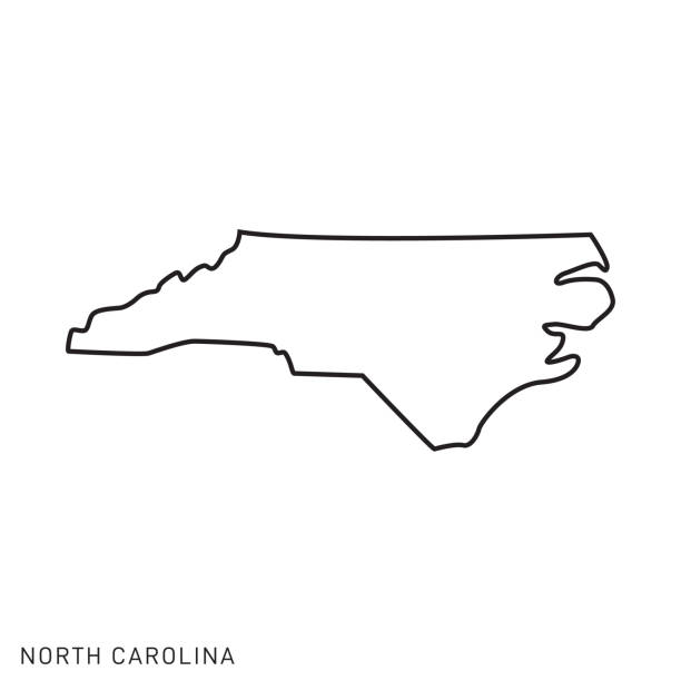
North Carolina - States of USA Outline Map Vector Template Illustration Design. Editable Stroke. Vector EPS 10.

Set of North Carolina map, united states of america. Flat concept vector illustration .
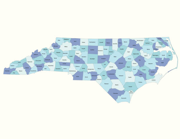
highly detailed map from North Carolina state & counties for your design and products.

North Carolina. Vector silhouette state. Carolina map with text script. North carolina shape state map for poster, t-shirt, tee, souvenir. Vector outline Isolated illustratuon on a white background.
map of the U.S. state North Carolina. Vector illustration
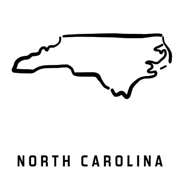
North Carolina simple logo. State map outline - smooth simplified US state shape map vector.

Illustrated pictorial map of Southern United States. Includes Tennessee, Carolinas, Georgia, Florida, Alabama and Mississippi. Vector Illustration.
Detailed state-county map of North Carolina.
The maps are accurately prepared by a GIS and remote sensing expert.

North Carolina map vector illustration, scribble sketch North Carolina map

map of the U.S. state of North Carolina vector

Map of North Carolina in a trendy vintage style. Beautiful retro illustration of an antique map with light rays in the background and on old textured paper. Included: Realistic texture of an old parchment (colors used: sepia, beige, brown). Vector illustration (EPS10, well superimposed and grouped). Easy to edit, manipulate, resize or colorize.

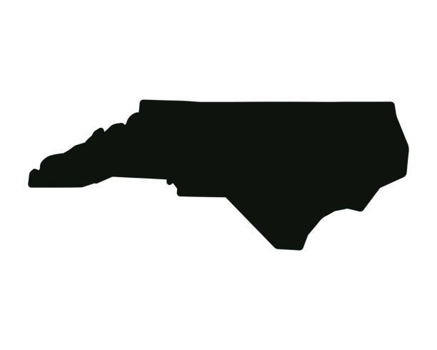
North Carolina, state of USA - solid black outline map of country area. Simple flat vector illustration.

Stylized map of the U.S. North Carolina State vector illustration. Silhouette and outline witth name inscription
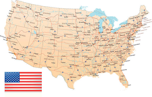
Highly detailed map of United States with roads, states, big cities, rivers and some other objects


Stylized blue sketch map of North Carolina on white background

All counties have separate borders that are accurately prepared and are also selectable and editable.

Map outline and flag of North Carolina, A blue union, a white star with N and C, the circle containing the same to be one-third the width of the union. With American flag.

vector illustration of North Carolina map

vector of the North Carolina map

Map of North Carolina for your own design. With space for your text and your background. Four maps included in the bundle: - One black map on a white background. - One blank map on a black background. - One white map with shadow on a blank background (for easy change background or texture). - One blank map with only a thin black outline (in a line art style). The layers are named to facilitate your customization. Vector Illustration (EPS10, well layered and grouped). Easy to edit, manipulate, resize or colorize. Please do not hesitate to contact me if you have any questions, or need to customise the illustration. http://www.istockphoto.com/portfolio/bgblue

Map of North Carolina Vector Illustration Design Template. USA State. Vector eps 10.
The maps are accurately prepared by a GIS and remote sensing expert.

North Carolina vector map with single border line boundary using light green color on dark background
North Carolina state map. US state map. North Carolina silhouette symbol. Vector illustration

vector of the North Carolina map
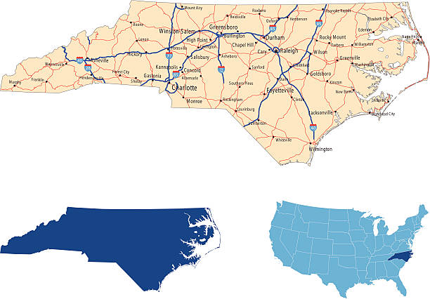
illustration of North Carolina state road map for your design and products.

Florida county map outline vector in gray color
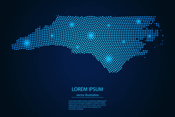
Abstract image North Carolina map from point blue and glowing stars on a dark background. vector illustration.
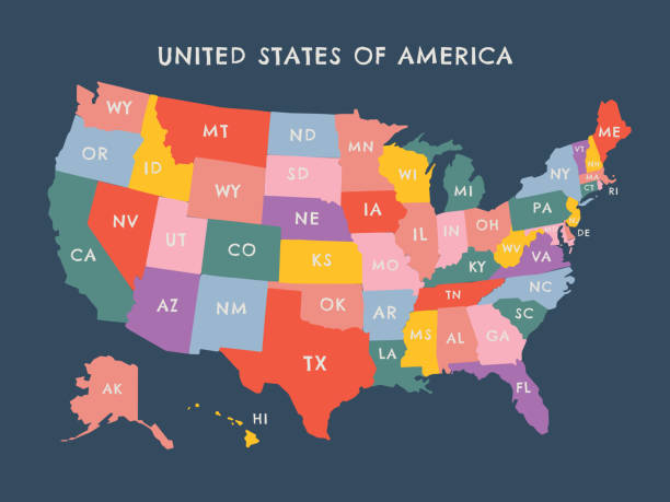
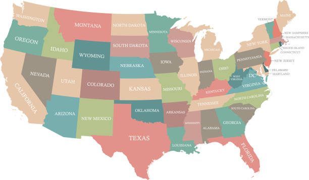
Vector modern illustration. Simplified isolated administrative map of USA (only contiguous states) . White background, blue shapes. Names of states and some big and capital cities
Highly detailed USA map prepared by a map expert.
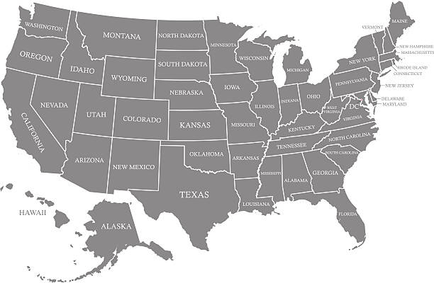
Ouline vector map of United States with states borders and names in gray color background, and capital location and name, Washington, D.C.

Scribble Map of North Carolina Vector Illustration Design Template. Vector EPS 10.

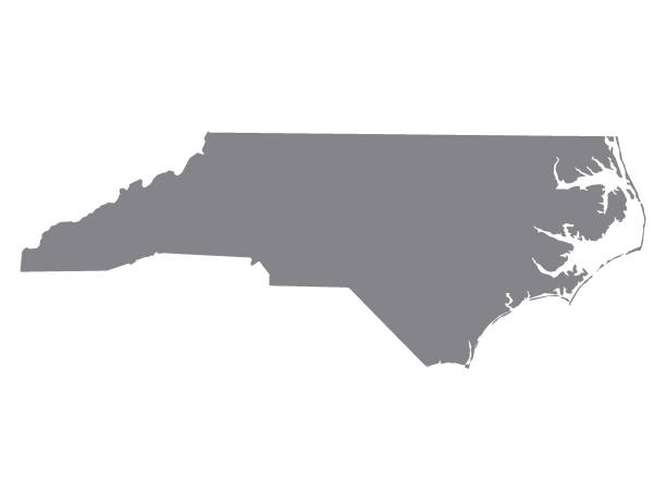
Map of North Carolina.


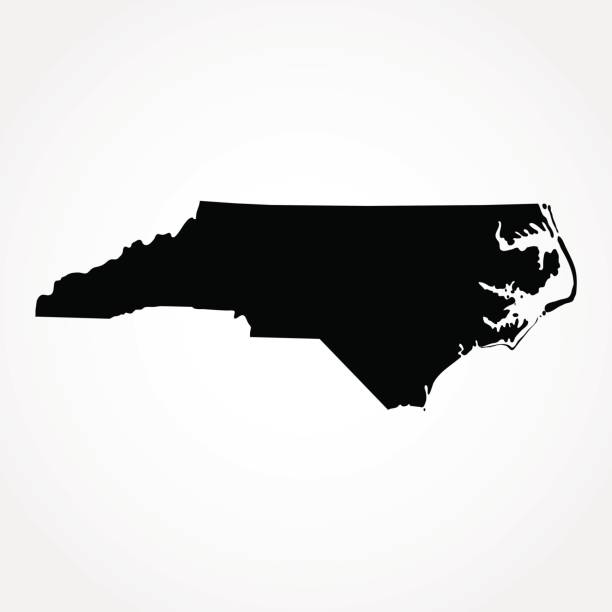
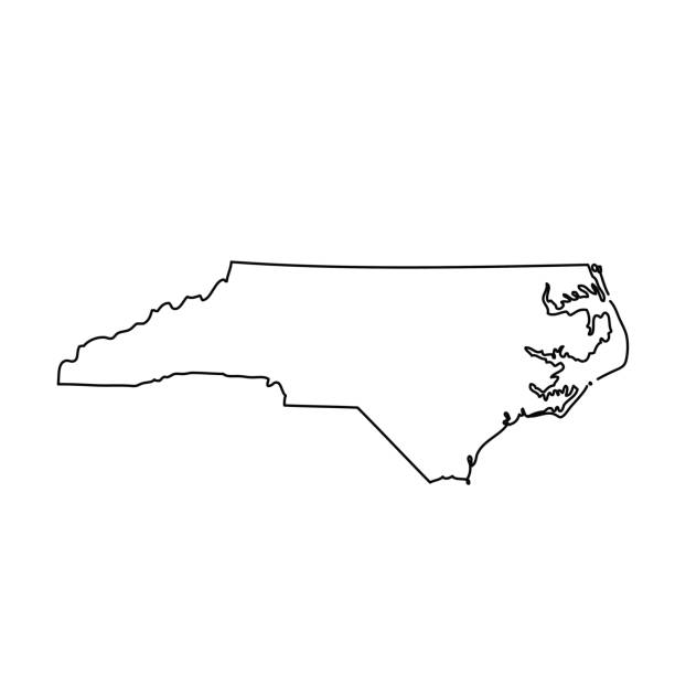
black outline map of North Carolina (US state) - vector illustration


Poster Style Topographic / Road map of Charlotte, NC, USA.

The maps are accurately prepared by a GIS and remote sensing expert.
Next