South African School stock vectors
Browse 520+ south african school stock illustrations and vector graphics available royalty-free, or search for south african school boy or south african school children to find more great stock images and vector art.

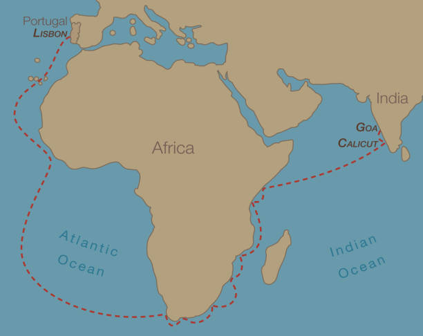
Doodle freehand drawing South Africa political map with major cities. Vector illustration.

South Africa Outline Map Vector Stock Illustration Design Template. Editable Stroke. Vector eps 10.
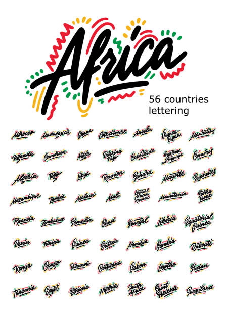
Set of typography African countries. Handwritten design modern brush lettering isolated vector.
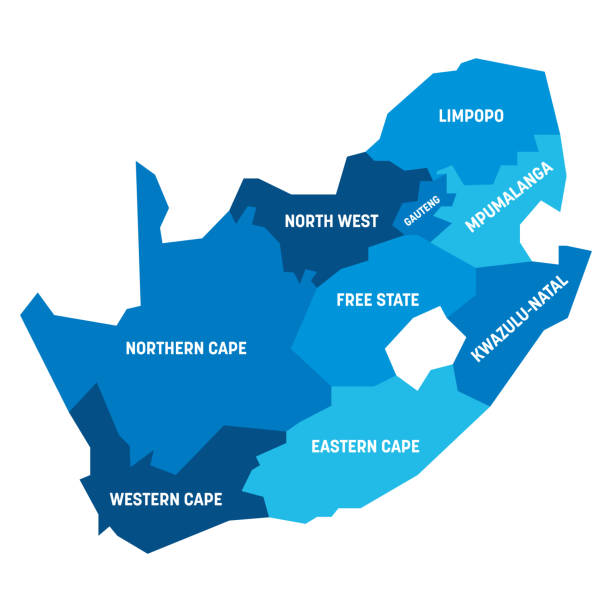
Blue political map of South Africe, RSA. Administrative divisions - provinces. Simple flat vector map with labels.

Highly detailed South Africa map with borders isolated on background. Flat style
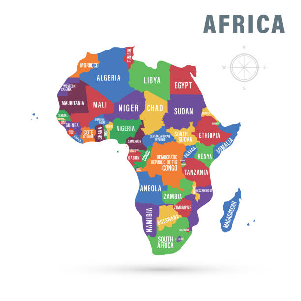
Vector illustration. Africa political map with country names.


vector illustration of Black Map of Kenya
Save water awareness icon set. Smart water use and conservation concept signs. Drops with symbols. Vector illustration.


South Africa - Waving Flag Vector Stock Illustration Design Template. Vector eps 10.


vector illustration of Black Map of Ethiopia
countries vector map.


Africa map - green hue colored on dark background. High detailed political map of african continent with country, capital, ocean and sea names labeling.


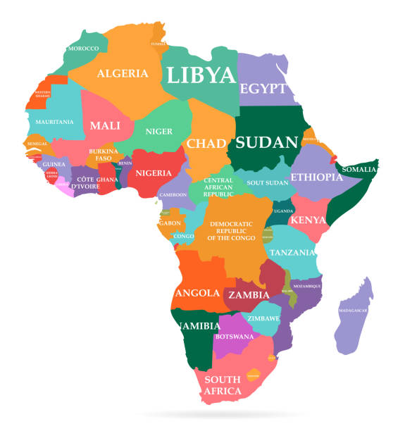
Vector illustration of colorful map. Africa continent with names of countries and borders isolated on white background


Surfing on Internet, keeping network and informations search. Work at home where ever you are. EPS10.

United States of America country illustration in red color. EPS version 10 with transparency included in download.


South Africa map silhouette with flag isolated on white background. Flat style

Vector Find the animals on the map

Southern Africa map - green hue colored on dark background. High detailed political map of southern african region with country, capital, ocean and sea names labeling.

South Africa vector hand drawn sketch map

South Africa highlighted in green color on world map vector illustration.

World Countries vector maps. Microchip Series

Cute african elephant waving trunk, funny comic animal dancing and smiling, cute cartoon character for nursery, isolated vector illustration in scandi style.
Beautiful,Meticulously Designed World Book Icon

black outline of South Africa map- vector illustration

Happy graduates wearing gown and cap embrace each other. Education, graduation and people concept


Personal development, education and career. Stairway in life. Businesswoman take big steps in stair of a pile, heap of books. Its easy to change titel on books if you like.

Cute baby animals, vector set

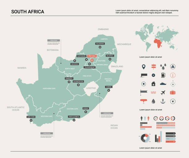
Vector illustration of the map of South Africa

Doodle freehand colorful drawing South Africa map with major cities and highway. Vector illustration.

Pink political map of South Africe, RSA. Administrative divisions - provinces. Simple flat vector map with labels.

Scribble map of South Africa. Sketch Country map colors for infographic, brochures and presentations. Vector illustration eps 10


Woman with pencil marking her way to big goal. Flags on the road. Drawing workflow. Dimension 16:9.

Brainstorming doctors, health care people or scientists. Woman and man connecting with eachother. Teamwork for best solution.

Elevate your projects with our high-quality Florida state map vector in a sleek flat design style. This meticulously crafted vector image is fully scalable, ensuring crisp, clear details at any size, making it ideal for digital and print use. Perfect for graphic designers, web developers, educators, and anyone in need of a versatile Florida map. Instant digital download available. Keywords: Florida vector map, flat design, scalable, state map, Florida graphic, digital map, printable, download.

Africa isolated countinent map illustration in isometric view.

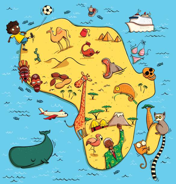
Illustrated Map of Africa. With funny and typical objects, people, activities, animals, plants, history etc. Illustration in eps10 vector, continent on separate layer.

Man giving water to growing tree with light bulbs. Dimension 16:9. EPS10.

Human brain in the graduate hat. Vector flat illustration of mind symbol in the academic hat with tassel. The graduation, education, scientific, studying concept icon isolated on white background.

Map of South Africa Vector Illustration Design Template. Vector eps 10.

South Africa administrative map isolated on white background

Man, doctor with on big magnifying glass , focus, looking at heart. Cordis, cor. Cardiologi, cardiologist. Dimension 16:9. You can find other organs with same banner design in my portfolio.

Next