
State Capitol Building Austin stock vectors
Browse 10+ state capitol building austin stock illustrations and vector graphics available royalty-free, or start a new search to explore more great stock images and vector art.
Most popular
Vector. Austin city, capital of Texas silhouette.
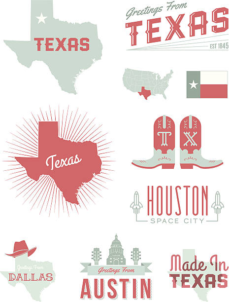
A set of vintage-style icons and typography representing the state of Texas, including Austin, Houston and Dallas. Each items is on a separate layer. Includes a layered Photoshop document. Ideal for both print and web elements.

Welcome to Austin Texas background concept. EPS 10 file. Transparency effects used on highlight elements.
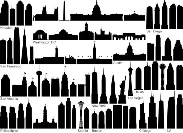
American cities. All buildings are complete and moveable.


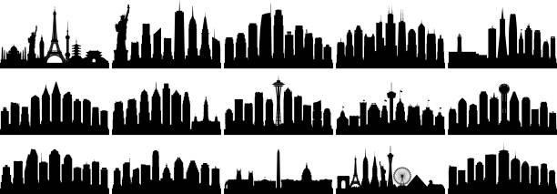
American skyline. All buildings are complete and moveable.

A detailed map of downtown Austin, Texas, including the 6th Street entertainment area. Austin is known for its music scene, including the yearly SXSW festival. Includes an extra-large JPG.
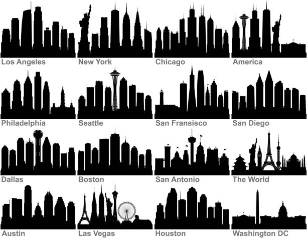
American cities. All buildings are complete and moveable. From left to right; the world, New York, Los Angeles, Chicago, San Fransisco, San Diego, Philadelphia, Seattle, San Antonio, Dallas, Houston, Austin, Washington DC, Las Vegas, and Boston.
American monuments.

State Capitol in Austin, Texas, America.

Detailed vector map of the State and Flag. PDF file included.

Vector illustration of Texas Cartoon Character. Hey kids collect all 50 states!

Detailed vector map of the State and Flag. PDF file included.

All elements were drawn in a vector graphics editor and design program. Elements and layers are well organized, separable, detachable and easy to use and edit. Map data is in the public domain, available from the United States Census Bureau via census.gov