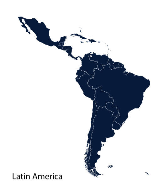
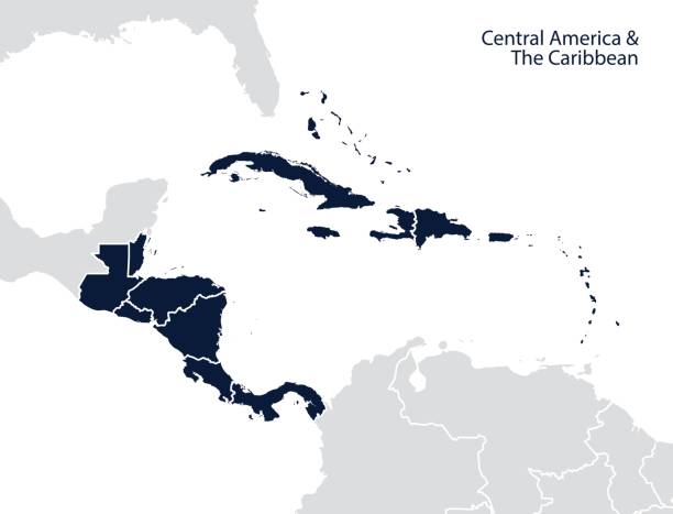
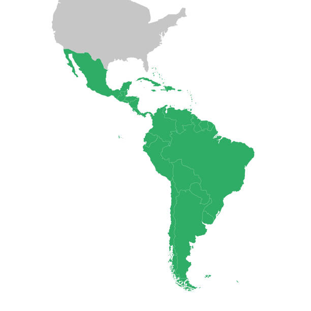
Latin America map, North America, Caribbean, Central America, South America.
Browse 27,300+ caribbean map vector stock illustrations and vector graphics available royalty-free, or start a new search to explore more great stock images and vector art.
Latin America map, North America, Caribbean, Central America, South America.
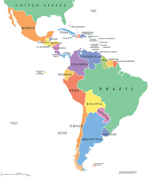
Latin America single states political map. Countries in different colors, with national borders and English country names. From Mexico to the southern tip of South America, including the Caribbean.
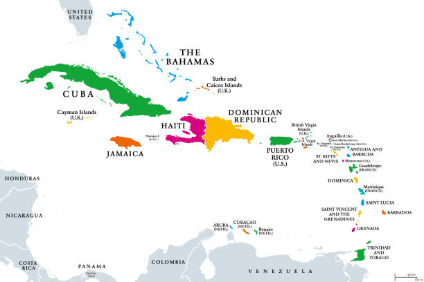
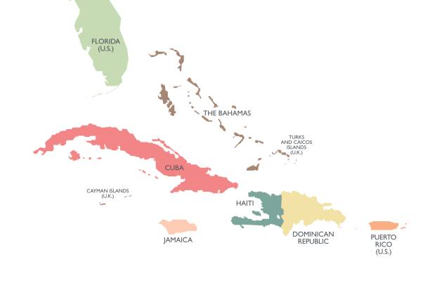
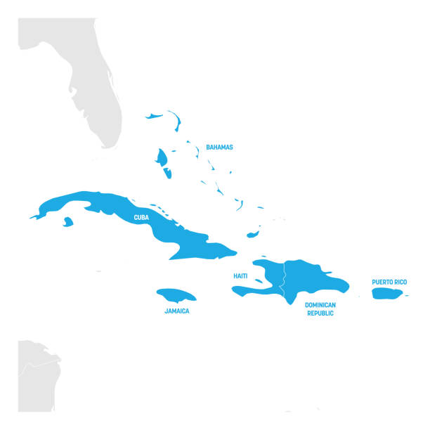
The Caribbean, colored political map. Subregion of the Americas in the Caribbean Sea with its islands and English names. The Greater Antilles and the Lesser Antilles. Isolated illustration over white.
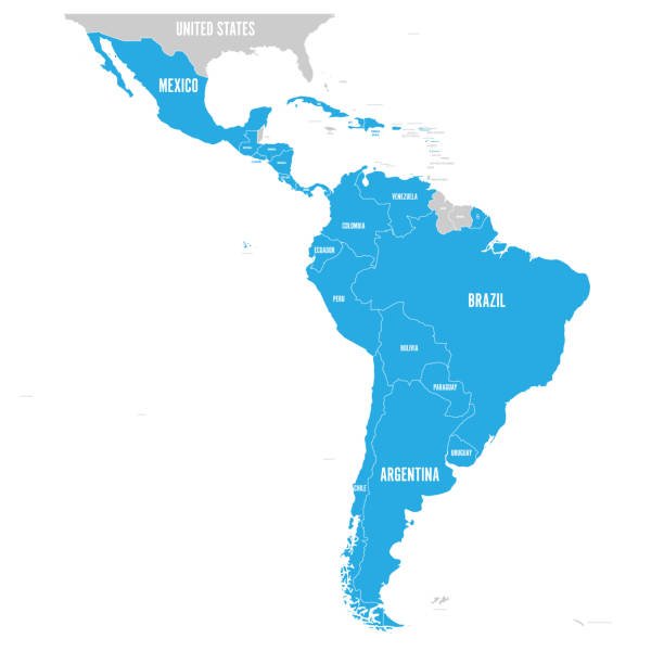
Political map of Latin America. Latin american states blue highlighted in the map of South America, Central America and Caribbean. Vector illustration.
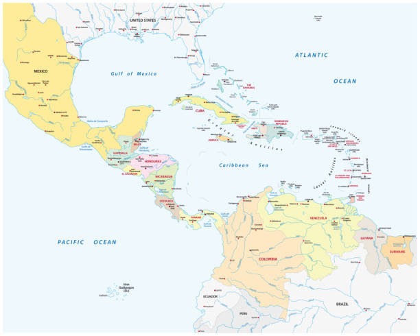
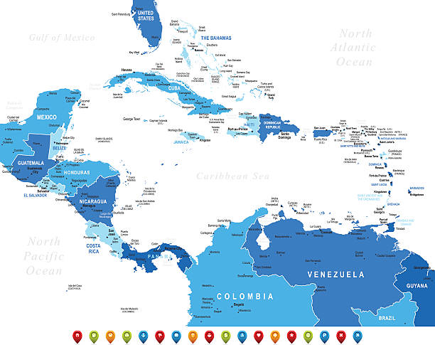
Central America and the Caribbean map. Vector
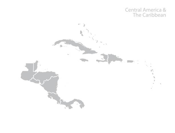
Central America and the Caribbean map. Vector

Map of Central America with names of countries, capitals and cities. Vector illustration
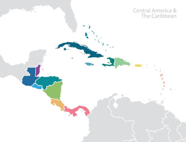
Central America and the Caribbean map. Vector

Central America - high detailed political map Central American and Caribbean region with country, ocean and sea names labeling.
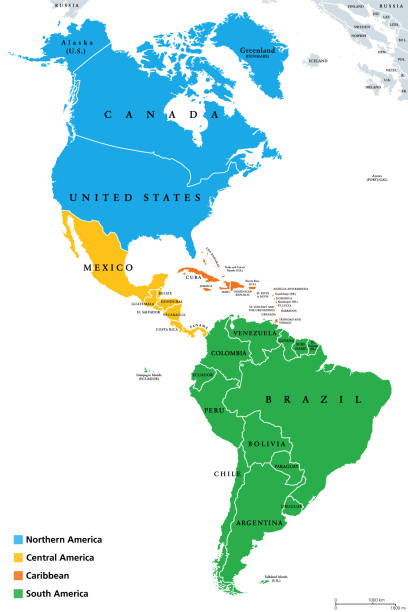
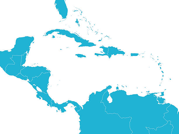
The Americas, geoscheme and political map. The North American subregion with intermediate regions Caribbean, Northern and Central America, and the subregion South America. Subdivisions for statistics.

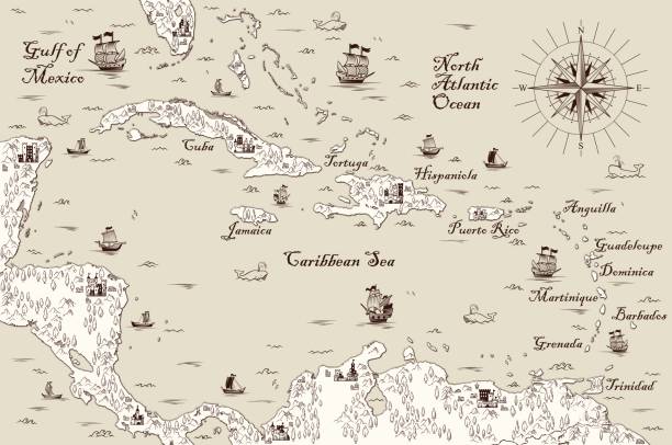
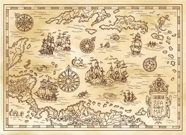
Old vintage map of caribbean sea. Vector worn parchment with ships, islands and land, wind rose and cardinal points. Fantasy world, vintage grunge paper, pirate map with travel locations and monsters
Caribbean island map vector graphics design. Gray background. Perfect for business concepts, backgrounds, backdrop, banner, poster, sticker, label and wallpapers.
Empty Blue Map of Central America
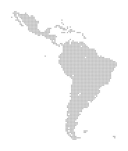
This vector illustration uses squares to create a detailed map of Latin America. The EPS 10 file is easy to colour and customise if required and can be scaled to any size without loss of quality, making it an ideal design element for your project.
Greater Antilles political map. Vector illustration
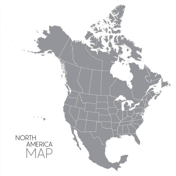
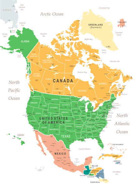
Highly detailed map of North America for your design and product.
Map of South America and Central America. Vector illustration in HD very easy to make edits.
Pirate adventures, treasure hunt and old transportation concept. Hand drawn vector illustration, vintage background

North America with detail and name of each country. Vector illustration in HD very easy to make edits.
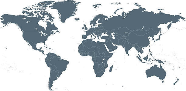
Empty Dark Gray World Map - illustration
Tourism And Vacation Vector Line Icon Set. Editable stroke, pixel perfect, black line icons. This Icon set consists of Sunset, Swimming Pool, Surfing, Spa, Hotel, Airplane Ticket, Travel Destinations and so on
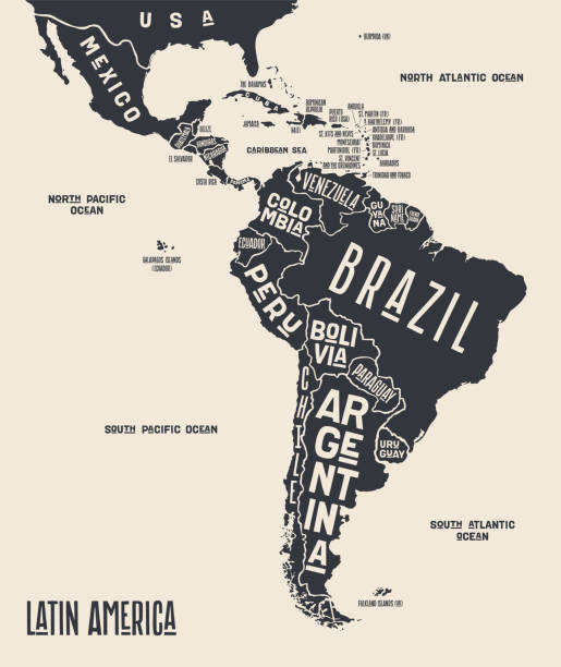
Map Latin America. Poster map of Latin America. Black and white print map of Latin America for t-shirt, poster or geographic themes. Hand-drawn graphic map with countries. Vector Illustration

Greater Antilles in the Caribbean, multicolored political map. Grouping of larger islands in the Caribbean Sea, including Cuba, Hispaniola, Puerto Rico, Jamaica, Navassa Island and the Cayman Islands.
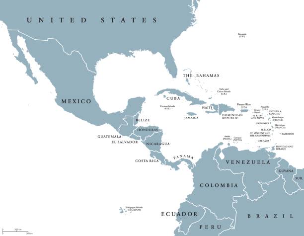
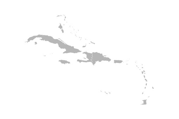
Middle America political map with borders and English labeling. Countries of southern North America, the nations of Central America and the Caribbean. Gray illustration on white background. Vector.

The Bermuda Triangle or Devils Triangle, political map. Region in the North Atlantic Ocean between Bermuda, Miami and Puerto Rico, where aircrafts and ships disappeared under mysterious circumstances.
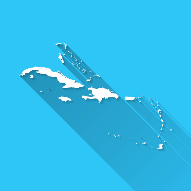
White map of Caribbean isolated on a blue background with a long shadow effect and in a flat design style. Vector Illustration (EPS10, well layered and grouped). Easy to edit, manipulate, resize or colorize.
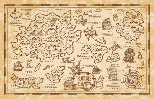
Old treasure map of pirate vector sketch with islands of Caribbean Sea, vintage nautical compass, pirate ships. Anchors, antique parchment, treasure chests and fantasy ocean monsters, adventure design
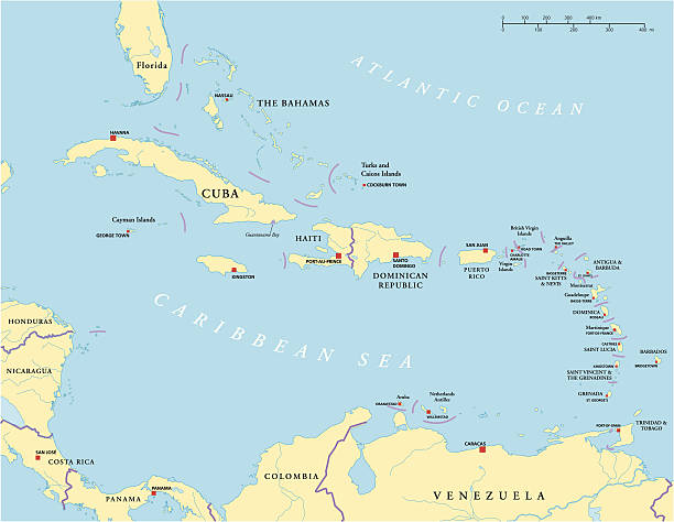
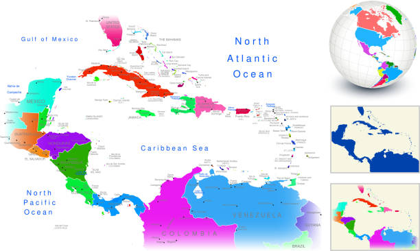
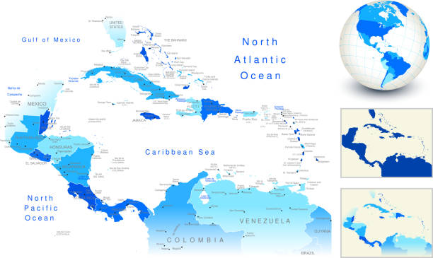
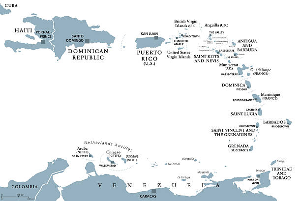
Political map of Caribbean - Large And Lesser Antilles - with capitals, national borders, most important cities, rivers and lakes. Vector illustration with English labeling and scaling.
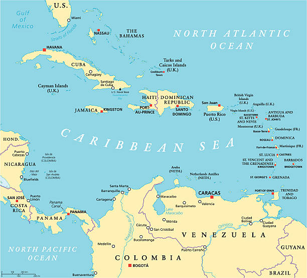
Caribbean political map with capitals, national borders, important cities, rivers and lakes. English labeling and scaling. Illustration.
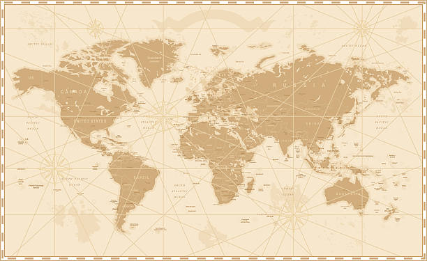
Old World Map - Vector Illustration Source map references: hhttp://www.lib.utexas.edu/maps/world_maps/time_zones_ref_2011.pdf http://www.lib.utexas.edu/maps/world_maps/txu-oclc-264266980-world_pol_2008-2.jpg (some cities) Creation date: March 10, 2016 Software: Adobe Illustrator CS5 Used layers: 1 (detailed outline of the map)
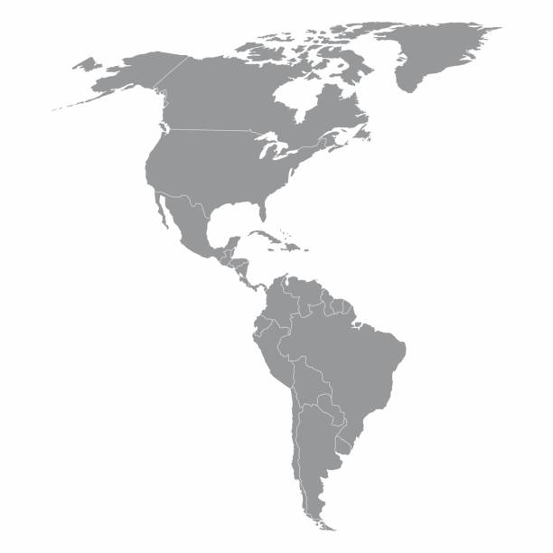
Illustration of a gray North and South America map
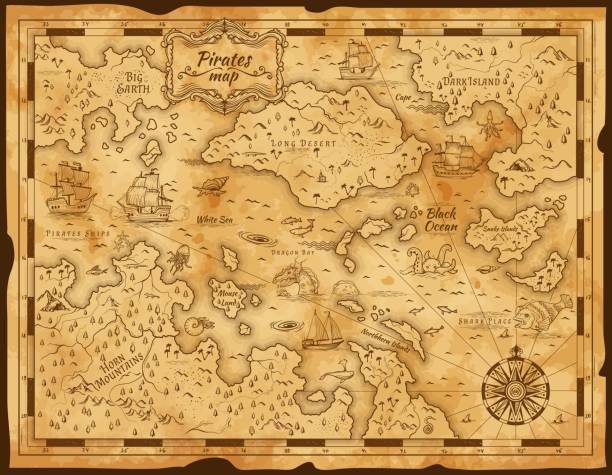
Old pirate treasure map. Vintage parchment paper with vector island, sea and sail ship, antique compass, ocean monster animal and fish sketch. Treasure hunt adventure, cartography and sea journey
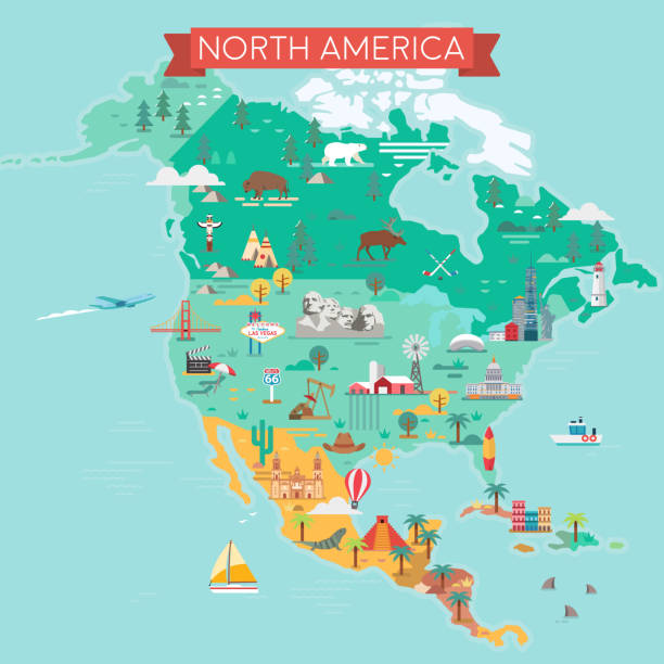
North America Map. Tourist and travel landmarks, vector illustration.

Central America map - green hue colored on dark background. High detailed political map Central American and Caribbean region with country, capital, ocean and sea names labeling.
North America Map with vintage colours, borders, sea and oceans
High detailed Map of Central America with national borders, countries and navigational icons

gulf of mexico road vector map

Eastern Caribbean islands, gray political map. Puerto Rico, Virgin Islands, Leeward and Windward Islands, and part of the Leeward Antilles north the coast of Venezuela, located in the Caribbean Sea.
Caribbean Region. Map of countries in Caribbean Sea in Central America. Vector illustration.
Lesser Antilles political map. Caribbees with Haiti, Dominican Republic and Puerto Rico in the Caribbean Sea. Gray illustration with English labeling on white background. Vector.Illustration. Vector.

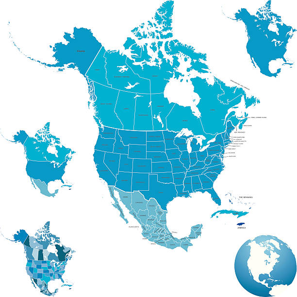
North America map. USA, Canada, Mexico, Cuba, Guatemala, Haiti, Dominican Republic, Honduras, Nicaragua maps with regions. Map isolated on white background. High detailed turquoise
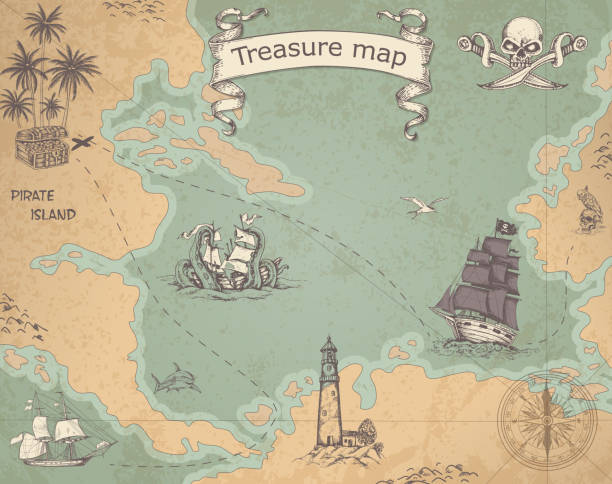
Vintage vector pirate map with sailing vessels. Ancient treasure map with ships and compass.

Vintage rum labels. Alcohol frames of liquor drink bottle with vector thin line pirate sail ship, anchor, helm and antique compass, golden flourishes and scrolls. Luxury labels for rum liquor

Vector shape of Jamaica and its parishes. Carefully labeled and grouped into counties in layers panel. Source: http://legacy.lib.utexas.edu/maps/jamaica.html Made with Illustrator CC
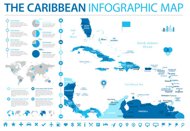
The Caribbean Map - Detailed Info Graphic Vector Illustration
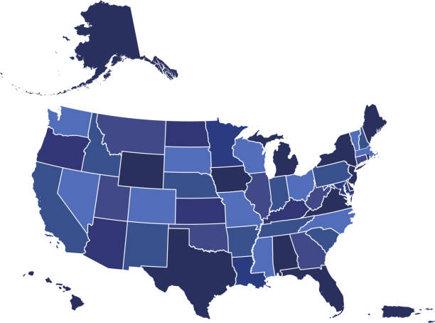
Downloadable blue color gradient map of United States of America. The spatial locations of Hawaii, Alaska and Puerto Rico approximately represent their actual locations on the earth.

vector of the North America map on transparent background