Greater Madison WI City Vector Road Map Blue Text. All source data is in the public domain. U.S. Census Bureau Census Tiger. Used Layers: areawater, linearwater, roads.
Browse 660+ dane county stock illustrations and vector graphics available royalty-free, or search for dane county wisconsin or dane county farmers market to find more great stock images and vector art.
Greater Madison WI City Vector Road Map Blue Text. All source data is in the public domain. U.S. Census Bureau Census Tiger. Used Layers: areawater, linearwater, roads.

WI Dane County Vector Map Green. All source data is in the public domain. U.S. Census Bureau Census Tiger. Used Layers: areawater, linearwater, cousub, pointlm.
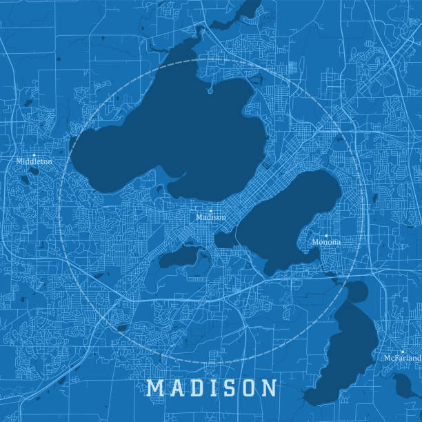
Madison WI City Vector Road Map Blue Text. All source data is in the public domain. U.S. Census Bureau Census Tiger. Used Layers: areawater, linearwater, roads.

Topographic / Road map of Madison, WI, USA. Map data is public domain via census.gov. All maps are layered and easy to edit. Roads are editable stroke.
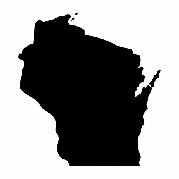
Wisconsin dark silhouette map isolated on white background
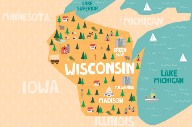
Illustrated map of the state of Wisconsin in United States with cities and landmarks. Editable vector illustration

Topographic / Road map of Madison, WI, USA. Map data is public domain via census.gov. All maps are layered and easy to edit. Roads are editable stroke.

Wisconsin counties, gray political map. A state in the Great Lakes region of the Upper Midwest of the United States, subdivided into 72 counties. Map with boundaries and county names. Illustration
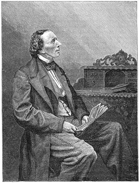
H. C. Andersen (1805-1875) was a Danish author, fairy tale writer, and poet noted for his children's stories. Engraving from Scribner's Magazine January 1871. The image is currently in public domain.

Illinois, IL, political map, with capital Springfield and metropolitan area Chicago. State in the Midwestern region of United States, nicknamed Land of Lincoln, Prairie State, and Inland Empire State.

Map of Wisconsin created with a thin black outline and light rays. Trendy and modern illustraion isolated on a blank background. Vector Illustration (EPS10, well layered and grouped). Easy to edit, manipulate, resize or colorize.
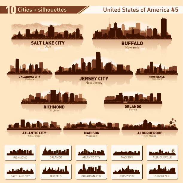
City skyline set. USA. Vector silhouette background illustration.
Vector File of Doodle Dog Breed Icon Set

Wisconsin, state of USA - solid black outline map of country area. Simple flat vector illustration.

Decorations bunting flags for Denmark national day holiday in flat design. Independence day or National day holiday concept.

Vector silhouette of Wisconsin in white with a drop shadow.

Madison Wisconsin city skyline vector silhouette illustration

Madison, Wisconsin architecture line skyline illustration. Linear vector cityscape with famous landmarks, city sights, design icons. Editable strokes
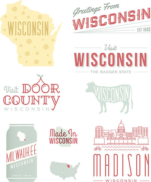
A set of vintage-style icons and typography representing the state of Wisconsin, including Milwaukee, Madison and Door County. Each items is on a separate layer. Includes a layered Photoshop document. Ideal for both print and web elements.

Map of Wisconsin cut out on a blank white paper with a blue background. Modern and trendy paper cutout effect. Vector Illustration (EPS file, well layered and grouped). Easy to edit, manipulate, resize or colorize. Vector and Jpeg file of different sizes.
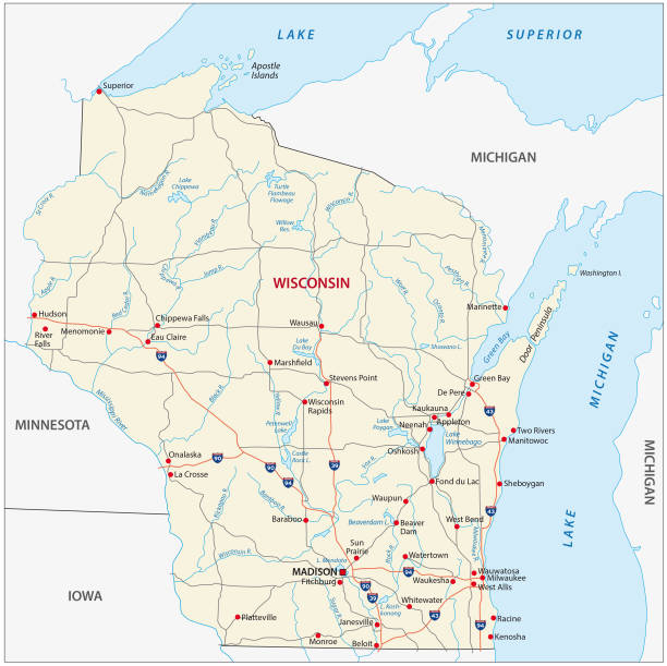
wisconsin road vector map

Michigan, MI, political map, with capital Lansing and metropolitan area Detroit. State in Great Lakes region of upper Midwestern United States, nicknamed The Great Lake State, and The Wolverine State.

Isolated U.S.A State With Capital City. The map is on a transparent background (there is no white shape behind it)

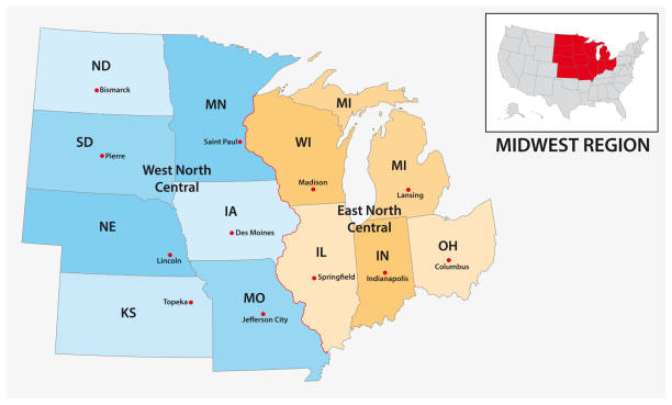
Watercolor-style rendering of Midwestern USA states map. File is layered with highlighted states, outlines, cities/text and background on four separate layers to easily hide or remove elements. Outlines can be removed for plain watercolor rendering. Each state is grouped individually on the color layer. File contains flat color and simple gradient blends.
Vector File of Doodle Dog Breed Icon Set

Madison USA City Map in Retro Style. Outline Map. Vector Illustration.

Wisconsin state detailed editable map with cities and towns, geographic sites, roads, railways, interstates and U.S. highways. Vector EPS-10 file, trending color scheme

Decorations bunting flags for Denmark national day holiday in flat design. Independence day or National day holiday concept.

State of Wisconsin subdivided into 72 counties, outline map. A state in the Great Lakes region of the Upper Midwest of the United States, nicknamed Badger State. Map with boundaries and county names.

Map of Wisconsin sketched and isolated on a blank background. The map is gray with a black outline. Vector Illustration (EPS file, well layered and grouped). Easy to edit, manipulate, resize or colorize. Vector and Jpeg file of different sizes.

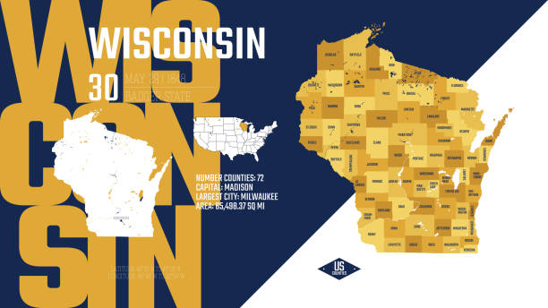
Wisconsin, WI, political map, with the capital Madison and metropolitan area Milwaukee. State in the upper Midwestern United States of America, with the nicknames Badger State, and Americas Dairyland.

Vector illustration of different dogs breed isolated on white background. Flat dogs breed vector icon illustration, flat dogs breed isolated vector. Dog breed flat silhouette

Madison Wisconsin city skyline silhouette vector illustration

Isolated U.S.A State With Capital City

Wisconsin State Capitol in Madison, United States

Detailed vector map of Wisconsin with administrative divisions. File was created on October 2, 2013. The colors in the .eps-file are ready for print (CMYK). Included files: EPS (v10) and Hi-Res JPG (5175 × 5600 px).

Vector Illustration of a City Street Map of Madison, Wisconsin, USA. Scale 1:60,000. All source data is in the public domain. U.S. Geological Survey, US Topo Used Layers: USGS The National Map: National Hydrography Dataset (NHD) USGS The National Map: National Transportation Dataset (NTD)

Highly detailed vector map of Wisconsin, United States. Source data courtesy of NGDC (database: World Data Bank II), NASA (reference images: Blue Marble) and National Atlas (database: county boundaries). The source data is in the public domain. Data updated and improved. File was created on July 3, 2013. The colors in the .eps-file are ready for print (CMYK). Included files: EPS (v8) and Hi-Res JPG (5600 × 5600 px).

Wisconsin, U.S. state, subdivided into 72 counties, multi colored political map with capital Madison, borders and county names. State in the Great Lakes region of the Upper Midwest of United States.

Wisconsin state of United States of America, USA. Simplified thick black outline map. Simple flat vector illustration

Maps of Wisconsin isolated on white background. Easily customizable for your design.

Madison Skyline with Gray Buildings, Blue Sky and Reflections. Vector Illustration. Business Travel and Tourism Concept with Modern Buildings. Image for Presentation Banner Placard and Web Site.
Map of Wisconsin with long shadow style on colored circle buttons. Two map versions included in the bundle: - One white map on a pink / red circle button. - One white map on a blue circle button. Vector Illustration (EPS file, well layered and grouped). Easy to edit, manipulate, resize or colorize. Vector and Jpeg file of different sizes.

Wisconsin, U.S. state, political map. State in the Great Lakes region of upper Midwestern United States, with capital Madison, metropolitan area Milwaukee. The Badger State and America's Dairyland.