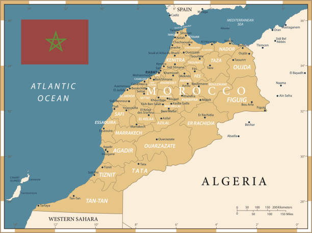
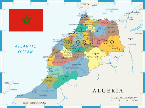
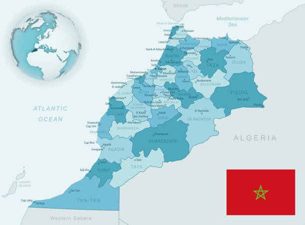
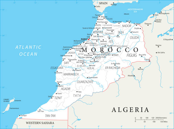
Morocco political map with capital Rabat, national borders, important cities and rivers. Illustration with English labeling and scaling.
Morocco political map with capital Rabat, national borders, important cities and rivers. Illustration with English labeling and scaling.

vector map of map of Morocco with high details

Vector illustration of the map of Morocco

Vector illustration of the map of Morocco

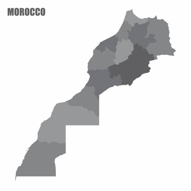
Morocco map with borders, cities, capital and administrative divisions. Infographic vector map. Editable layers clearly labeled.
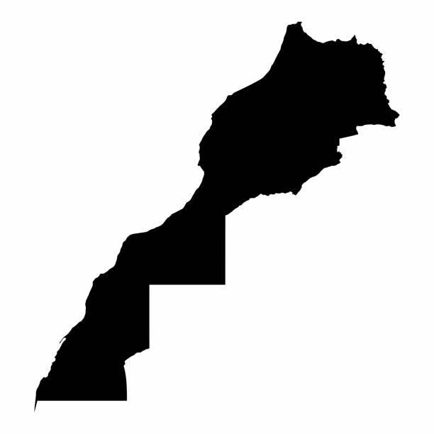
Morocco and Western Sahara dark silhouette map isolated on white background

Encyclopedia Britannica 9th Edition New York Samuel L. Hall 1883 Vol XVI

Morocco vector map. Editable template with regions, cities, red pins and blue surface on white background.

3d isometric Map of Morocco with national flag. Vector Illustration.
Vector illustration in HD very easy to make edits.
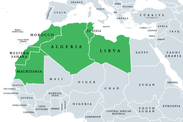
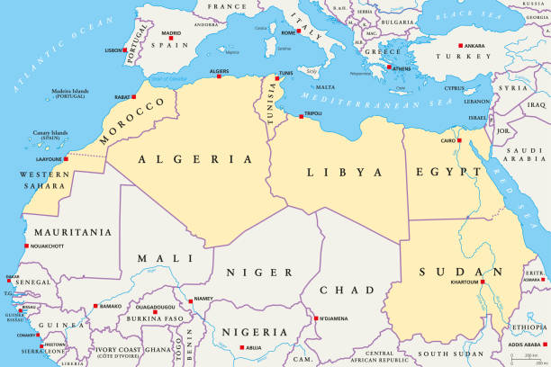
Maghreb, Arab Maghreb or also Northwest Africa, political map. Part of the Arab World, comprising Algeria, Libya, Morocco, Mauritania, Tunisia, Western Sahara and the Spanish cities Ceuta and Melilla.
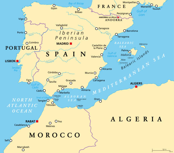
West Mediterranean, political map. The Iberian Peninsula, bordered by the North Atlantic and Mediterranean Sea, separated from Africa by the Strait of Gibraltar. Portugal, Spain and Balearic Islands.
Road vector map of the Kingdom of Morocco
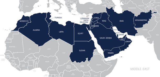
Map of Middle East. Member states are as follows;
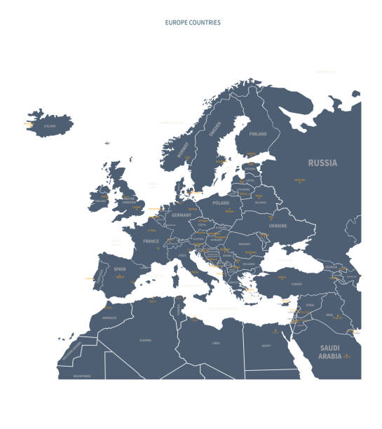
North Africa region, political map. Yellow colored area, with capitals and borders. Collective term for a group of Mediterranean countries on African continent. English labeling. Illustration. Vector.
Map of Morocco - Vintage Vector illustration
Map of Morocco - Vector illustration
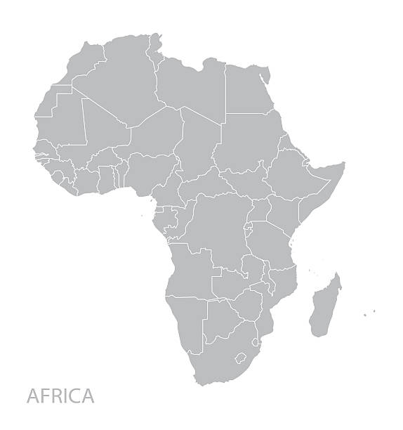
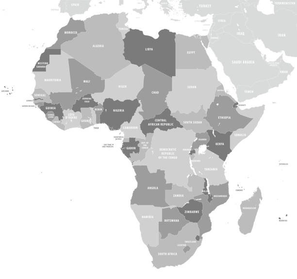
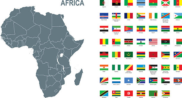
Africa map. vector

Morocco map, black and white detailed outline regions of the country. Vector illustration
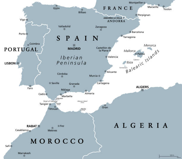
West Mediterranean, gray political map. Iberian Peninsula, bordered by the North Atlantic and Mediterranean Sea, separated from Africa by the Strait of Gibraltar. Portugal, Spain and Balearic Islands.
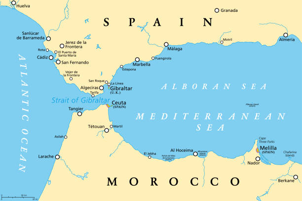
Strait of Gibraltar, political map. Also known as Straits of Gibraltar. Narrow strait, connecting the Atlantic Ocean to the Mediterranean Sea, separating the Iberian Peninsula from Morocco and Africa.
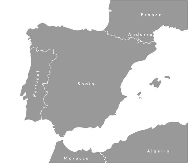
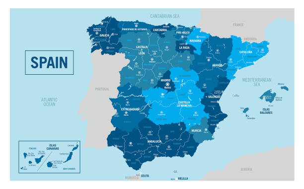
Vector modern illustration in grey color. Simplified european political map with Spain in the center. White background and outlines. Borders with Portugal, France, Andorra

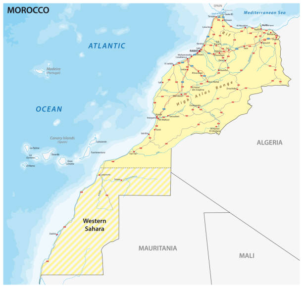
Vector Map of Morocco and Western Sahara with Major Cities and Neighboring Countries – Editable Infographic

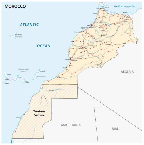
Highly detailed physical map of the Mprocco,in vector format,with all the relief forms,regions and big cities.

Morocco map. Blank vector map of the Country. Borders of Morocco for your infographic. Vector illustration.
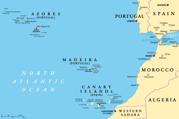
Azores, Madeira, and Canary Islands, political map. Autonomous regions of Portugal and Spain, archipelagos of volcanic islands, in the Macaronesia region of North Atlantic ocean, next to North Africa.

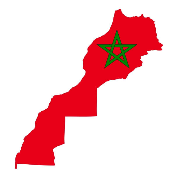
Simple flat flag map of the Kingdom of Morocco

Stylized vector Morocco map showing big cities, capital Rabat, administrative divisions.
Blue-green detailed map of Morocco administrative divisions with country flag and location on the globe. Vector illustration

Political color map of MENA region with borders of the states. Middle East and North Africa

Vector illustration in HD very easy to make edits.
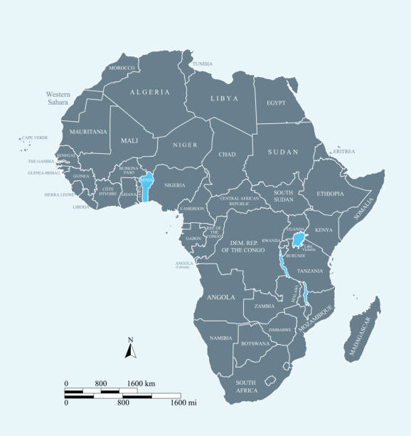
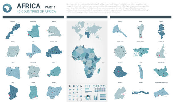
This vector map of Africa continent is accurately prepared by a GIS and remote sensing expert with highly detailed information.

Azores, Madeira, and Canary Islands, gray political map. Autonomous regions of Portugal and Spain, archipelagos of volcanic islands in Macaronesia Region of North Atlantic Ocean, next to North Africa.

Abstract Map of Morocco from polygonal blue lines and glowing stars on dark blue background. Vector illustration eps10.
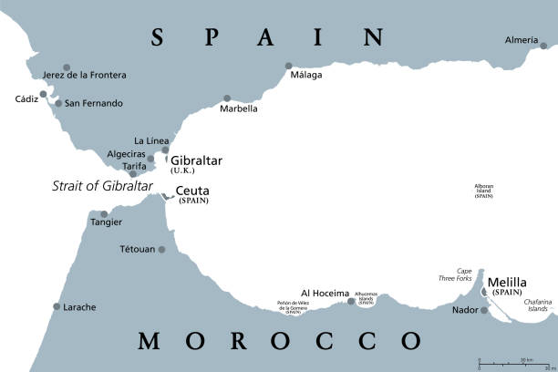
Strait of Gibraltar, gray political map. Also known as Straits of Gibraltar. A narrow strait, connecting Atlantic Ocean to Mediterranean Sea, separating the Iberian Peninsula from Morocco and Africa.
Highly detailed vector map of Morocco with states, capitals and big cities.

Morocco map silhouette on the white background. Vector illustration

New administrative and political vector map of the twelve regions of the Kingdom of Morocco with flag 2015
Map of Morocco - Vector illustration

Stylized vector Morocco map. Infographic 3d gold map illustration with cities, borders, capital, administrative divisions and pointer marks, shadow; gradient background.

Morocco map with cultural landmarks, traditional architecture, desert nature and ethnic Moroccan elements in cartoon vector style. Vector illustration, drawing for posters, travel guides, decorations

Pacific Centered World map with magnified Morocco. Flag and map of Morocco on Asia in Center World Map.
The Morocco isolated map divided in regions with Western Sahara

http://s017.radikal.ru/i404/1110/87/2c00b7bbd3ec.jpg

Map of Morocco in a trendy vintage style. Beautiful retro illustration with old textured paper and light rays in the background (colors used: blue, green, beige and black for the outline). Vector Illustration (EPS10, well layered and grouped). Easy to edit, manipulate, resize or colorize.

3D map of Morocco isolated on a blank and gray background, with a dropshadow. Vector Illustration (EPS10, well layered and grouped). Easy to edit, manipulate, resize or colorize.

Morocco administrative blue-green map with country flag and location on a globe. Vector illustration

Vintage illustration of Antique map of Ancient North Africa, Atlas of Ancient Geography. By Samuel Butler

Vector maps of Africa with variable specification and icons