Topographic / Road map of Kansas City, Missouri, USA. Original map data is open data via © OpenStreetMap contributors. All maps are layered and easy to edit. Roads have editable stroke.
Browse 2,000+ abstract outline of missouri map stock illustrations and vector graphics available royalty-free, or start a new search to explore more great stock images and vector art.
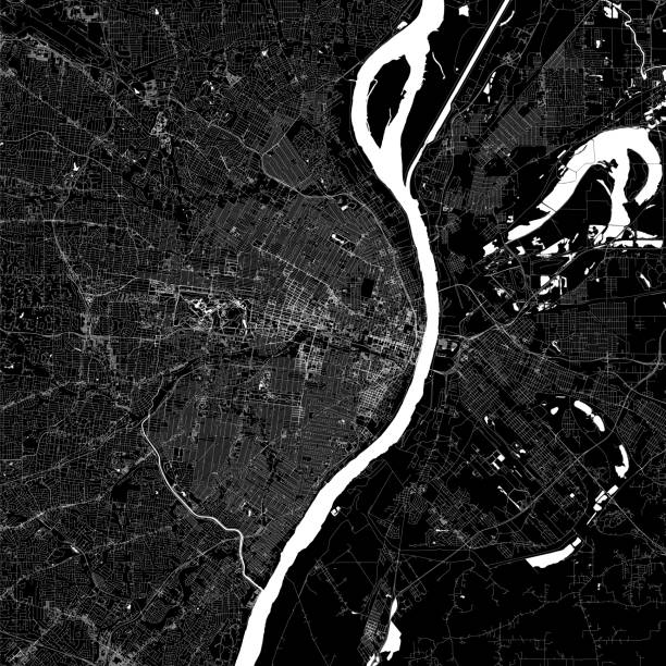
Topographic / Road map of Kansas City, Missouri, USA. Original map data is open data via © OpenStreetMap contributors. All maps are layered and easy to edit. Roads have editable stroke.
Missouri - States of USA Outline Map Vector Template Illustration Design. Editable Stroke. Vector EPS 10.
Missouri map shape, united states of america. Flat concept icon symbol vector illustration .
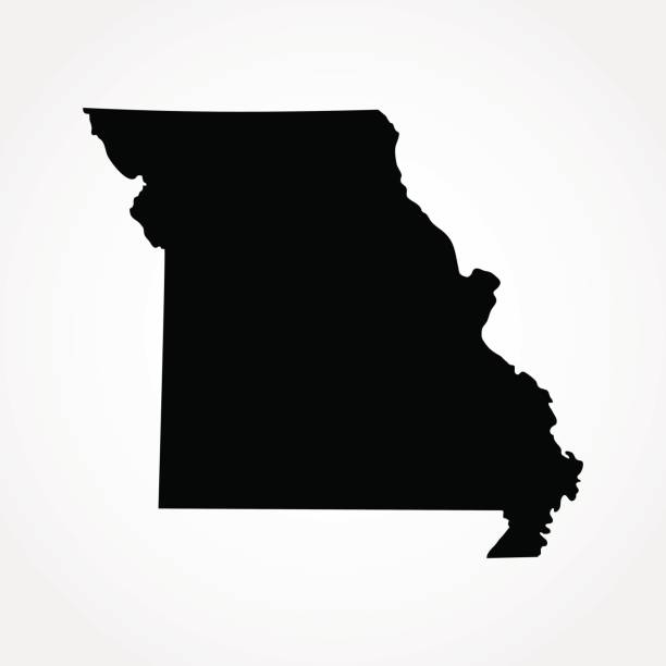
silhouette map of the state of Missouri in the United States on white background

Stylized green sketch map of Missouri illustration vector

Stylized red sketch map of Missouri illustration vector

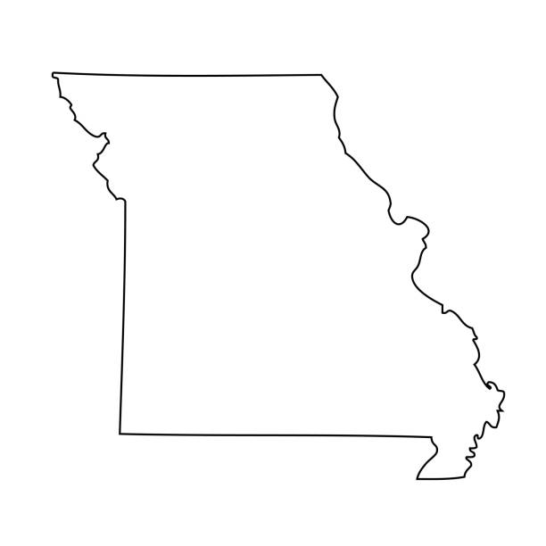
black outline of Missouri map- vector illustration
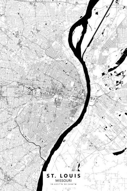
Poster Style Topographic / Road map of St. Louis, Missouri, USA United States of America. Original map data is open data via © OpenStreetMap contributors. All maps are layered and easy to edit. Roads are editable stroke.

Map outline and flag of Missouri. red white and blue color. The Missouri Seal, surrounded by a blue band and stars, the states of America and USA flag.
Missouri map shape, united states of america. Flat concept icon symbol vector illustration .

vector of the Missouri map
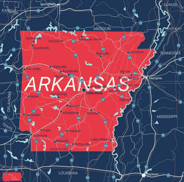
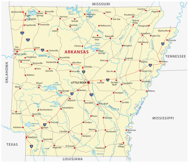
Arkanzas state detailed editable map with with cities and towns, geographic sites, roads, railways, interstates and U.S. highways. Vector EPS-10 file, trending color scheme

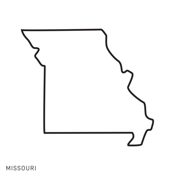
Missouri state map. US state map. Missouri outline symbol. Vector illustration

Map of Missouri for your own design. With space for your text and your background. Four maps included in the bundle: - One black map on a white background. - One blank map on a black background. - One white map with shadow on a blank background (for easy change background or texture). - One blank map with only a thin black outline (in a line art style). The layers are named to facilitate your customization. Vector Illustration (EPS10, well layered and grouped). Easy to edit, manipulate, resize or colorize. Please do not hesitate to contact me if you have any questions, or need to customise the illustration. http://www.istockphoto.com/portfolio/bgblue

Topographic / Road map of Kansas City, Missouri, USA. Original map data is open data via © OpenStreetMap contributors. All maps are layered and easy to edit. Roads have editable stroke.

Map of Missouri cut out on a blank white paper with a blue background. Modern and trendy paper cutout effect. Vector Illustration (EPS file, well layered and grouped). Easy to edit, manipulate, resize or colorize. Vector and Jpeg file of different sizes.

Map of Missouri created with a thin black outline and a shadow, isolated on a blank background. Vector Illustration (EPS10, well layered and grouped). Easy to edit, manipulate, resize or colorize. Please do not hesitate to contact me if you have any questions, or need to customise the illustration. http://www.istockphoto.com/portfolio/bgblue

Missouri Map Vector Illustration Design Template. Vector eps 10.

Map of Missouri in a trendy vintage style. Beautiful retro illustration with old textured paper and light rays in the background (colors used: blue, green, beige and black for the outline). Vector Illustration (EPS10, well layered and grouped). Easy to edit, manipulate, resize or colorize.
This modern abstract design of USA map can be printed as a decoration on the wall.

Topographic / Road map of downtown Kansas City, Missouri, USA. Larger map covering the whole city is available. Original map data is open data via © OpenStreetMap contributors. All maps are layered and easy to edit. Roads have editable stroke.
Vector isolated illustration icon with simplified blue map's silhouette of State of Missouri (USA). Polygonal geometric style. White background.

vector illustration of Missouri map

Missouri state borders, United States of America. Missouri border map. Political borders of the USA Missouri state.

Stylized map of the U.S. State of Missouri vector illustration. Silhouette and outline witth name inscription

vector of the Missouri map
Topographic / Road map of St. Louis, Missouri, USA United States of America. Original map data is open data via © OpenStreetMap contributors. All maps are layered and easy to edit. Roads are editable stroke.

Stylized blue sketch map of Missouri on white background

Map of Missouri in a realistic neon sign style. The map is created with a pink glowing neon light on a dark brick wall. Modern and trendy illustration with beautiful bright colors. Vector Illustration (EPS10, well layered and grouped). Easy to edit, manipulate, resize or colorize.

Map of Callaway County - Missouri, with a realistic paper cut effect isolated on white background. Trendy paper cutout effect. Vector Illustration (EPS file, well layered and grouped). Easy to edit, manipulate, resize or colorize. Vector and Jpeg file of different sizes.

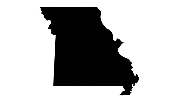
black silhouette map of the state of Missouri in the United States on white background

Map of Missouri on a red rubber stamp in vintage style. The stamp is composed of the map in the middle with the names around, separated by stars. A grunge texture is added to create a vintage and realistic effect. Vector Illustration (EPS10, well layered and grouped). Easy to edit, manipulate, resize or colorize.
Map of Missouri with long shadow style on colored circle buttons. Two map versions included in the bundle: - One white map on a pink / red circle button. - One white map on a blue circle button. Vector Illustration (EPS file, well layered and grouped). Easy to edit, manipulate, resize or colorize. Vector and Jpeg file of different sizes.

Map of Missouri made with round blue dots on a blank background. Original mosaic illustration. Vector Illustration (EPS10, well layered and grouped). Easy to edit, manipulate, resize or colorize. Please do not hesitate to contact me if you have any questions, or need to customise the illustration. http://www.istockphoto.com/portfolio/bgblue

South Carolina vector map. High detailed illustration. Country of the United States of America. Flat style. Vector illustration

Set of 6 Missouri maps created in a Low Poly style, isolated on a blank background. Modern and trendy polygonal mosaic with beautiful color gradients (colors used: Blue, Green, Orange, Yellow, Red, Pink, Purple, Black, Gray). Vector Illustration (EPS10, well layered and grouped). Easy to edit, manipulate, resize or colorize.

Love Kansas City Picture. Map of United States with Heart as City Point. Vector Illustration

Missouri, USA - high detailed physical map. Vector map. Dem map. Vector template for website, design, cover, infographics. Vector illustration.

The map is accurately prepared by a GIS and remote sensing specialist. This creative map can be used as a cover sheet for the Geography book or for other educational purposes. Every state has a separate boundary that can be edited.

Topographic / Road map of Kansas City, Missouri, USA. Original map data is open data via © OpenStreetMap contributors. All maps are layered and easy to edit. Roads have editable stroke.

Map of Callaway County - Missouri, for your own design. Four maps with editable stroke included in the bundle: - One black map on a white background. - One blank map on a black background. - One white map with shadow on a blank background (for easy change background or texture). - One line map with only a thin black outline (in a line art style). The layers are named to facilitate your customization. Vector Illustration (EPS file, well layered and grouped). Easy to edit, manipulate, resize or colorize. Vector and Jpeg file of different sizes.

vector of the Missouri map

Map of Callaway County - Missouri, in a trendy vintage style. Beautiful retro illustration with old textured paper and light rays in the background (colors used: blue, green, beige and black for the outline). Vector Illustration (EPS file, well layered and grouped). Easy to edit, manipulate, resize or colorize. Vector and Jpeg file of different sizes.

Map of Callaway County - Missouri, isolated on a blank background and with his name on a red ribbon. Vector Illustration (EPS file, well layered and grouped). Easy to edit, manipulate, resize or colorize. Vector and Jpeg file of different sizes.
© 2025 iStockphoto LP. The iStock design is a trademark of iStockphoto LP. Browse millions of high-quality stock photos, illustrations, and videos.
Do Not Sell or Share