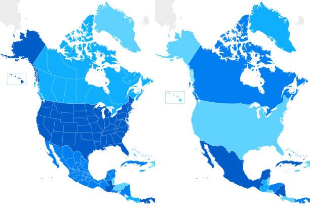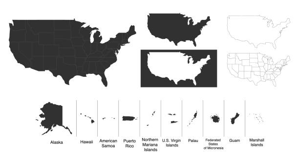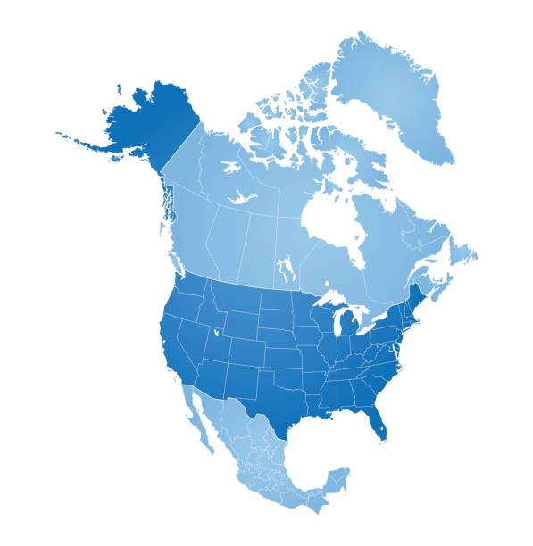
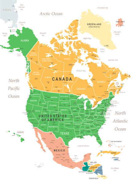
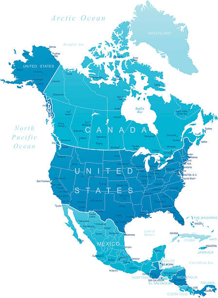
Map of North America with countries, states on white background
Browse 17,500+ map of the gulf coast states stock illustrations and vector graphics available royalty-free, or start a new search to explore more great stock images and vector art.
Map of North America with countries, states on white background

Gulf States of the United States, also called Gulf South or South Coast, political map. Coastline along Southern United States at Gulf of Mexico. Texas, Louisiana, Mississippi, Alabama and Florida.

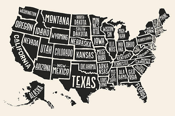
Poster map of United States of America with state names. Print map of USA for t-shirt, poster or geographic themes. Hand-drawn colorful map with states. Vector Illustration
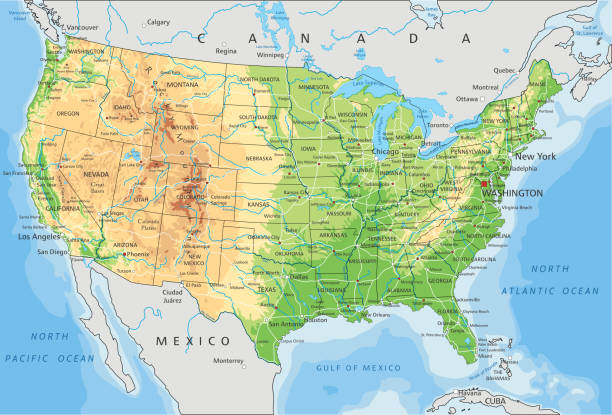
High detailed United States of America physical map with labeling. Organized vector illustration on seprated layers.
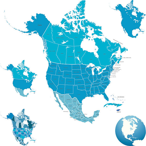
Highly detailed map of North America for your design and product.
Vector of highly detailed map of the United States of America with all states outlined - also a seperate outline of the country on a different layer.
monochrome set with map of united states of america for your design
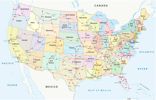
us interstate highway, administrative and political vectormap
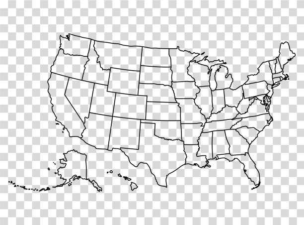
Map of the United States in outline on a transparent background. Vector illustration in HD very easy to make edits.
Vector usa map america icon. United state america country world map illustration.
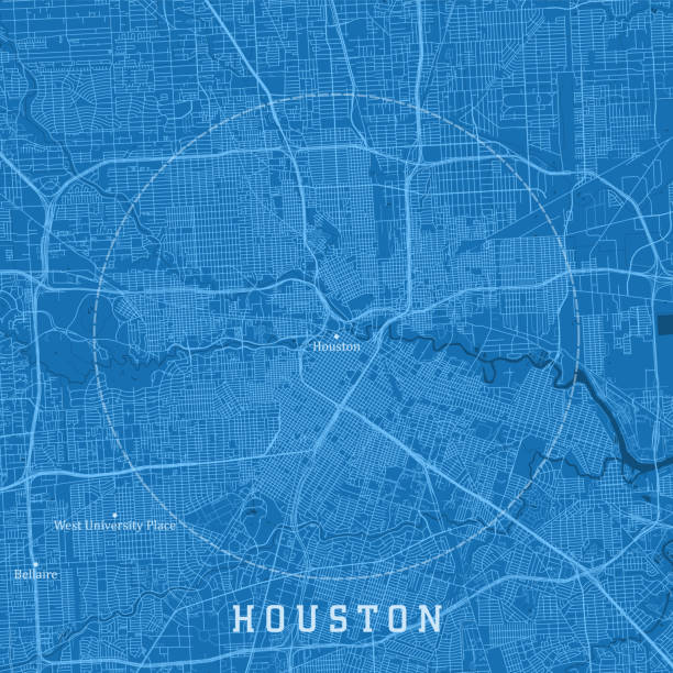
Houston TX City Vector Road Map Blue Text. All source data is in the public domain. U.S. Census Bureau Census Tiger. Used Layers: areawater, linearwater, roads.

High detail USA map for each country. United States of America map in flat style. Blue america usa federal states map isolated on white background
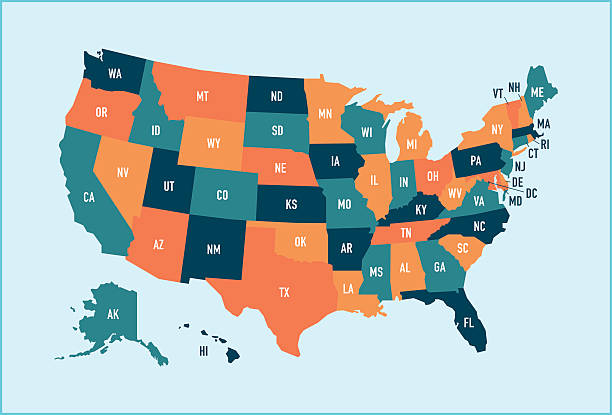
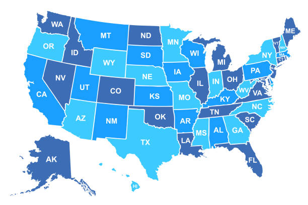
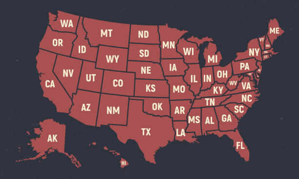
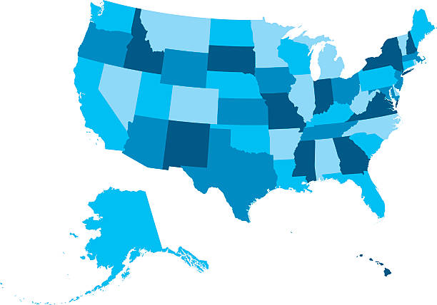
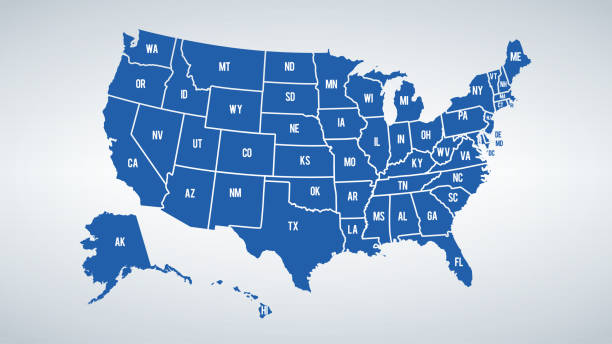
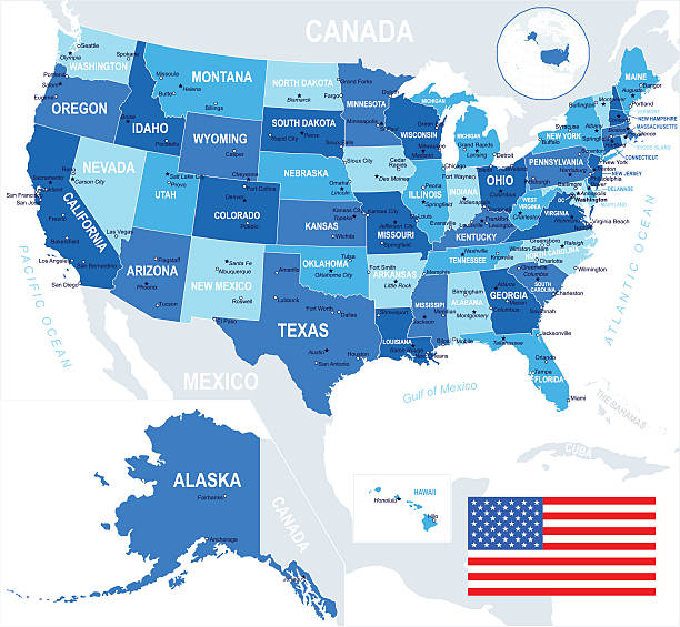
Colorful stylized vector map of the United States of America with state name abbreviations labels. All 50 states can be individually selected.
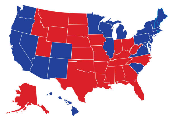
Vector illustration of a political USA map with the states colored in either red or blue with a white outline. Each state is an individual object and can be colored separately.
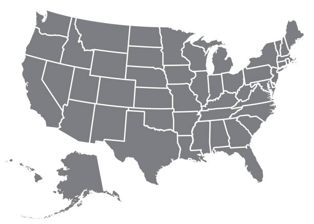
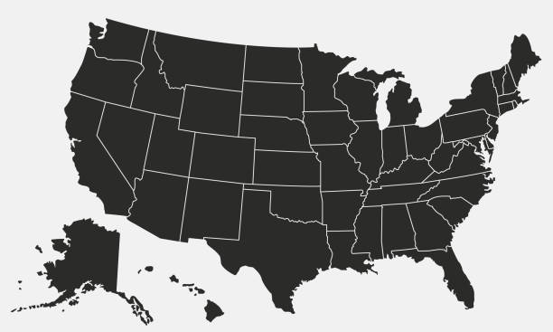
A silhouette of the USA, including Alaska and Hawaii. File is built in CMYK for optimal printing and the map is gray.
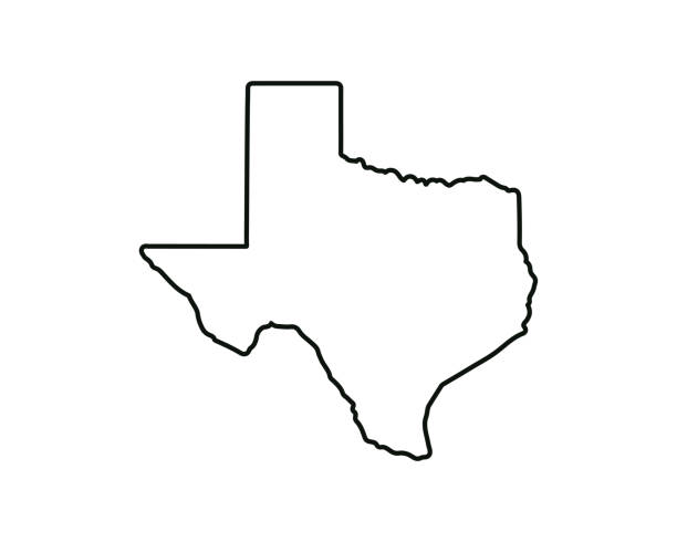
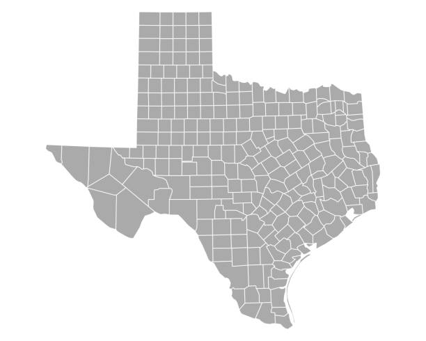
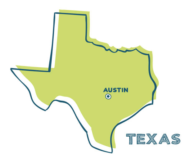
Texas state map. US state map. Texas outline symbol. Vector illustration
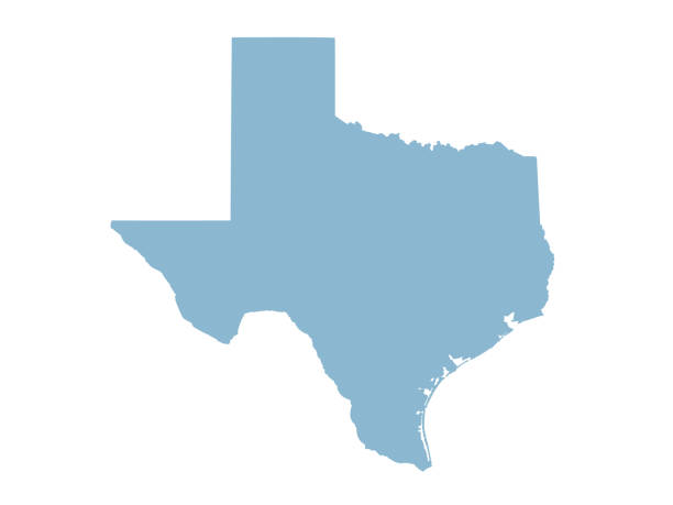
vector illustration of Texas map
USA vintage map with Hawaii, Texas, Florida and California states
Vector USA colors map with borders of states and shorts name of each states.
United States map background. Vector eps10 illustration

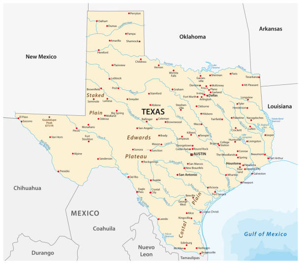
Texas, political map, with capital Austin, borders, important cities, rivers and lakes. State in the South Central region of the United States of America. English labeling. Illustration. Vector.
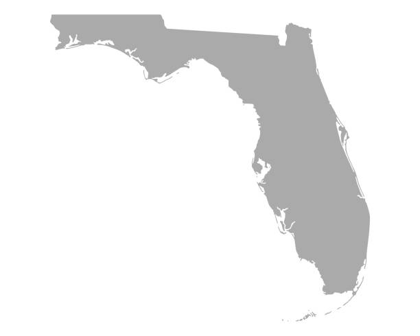
Florida map dark silhouette isolated on white background

Gulf states of the United States, political map. Also known as Gulf South. Coastline along the Southern US, where the states Texas, Louisiana, Mississippi, Alabama and Florida meet the Gulf of Mexico.
Usa map icon high detailed isolated vector illustration. Abstract concept graphic element. United States of America isolated. EPS 10
United States of America - Highly detailed editable political map with labeling.
USA map and flag - highly detailed vector illustration
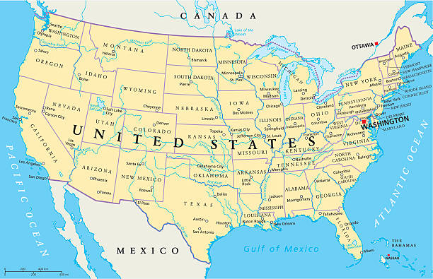
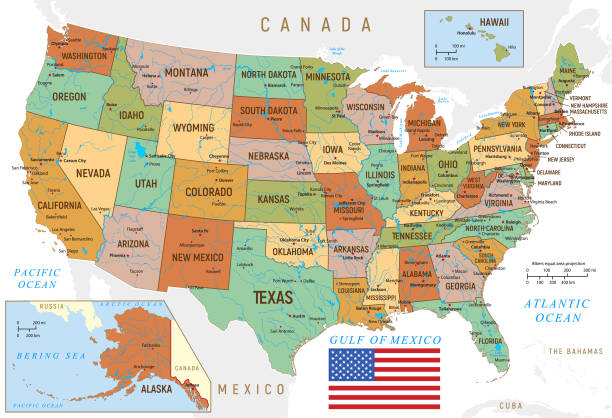
United States of America Political Map with capital Washington, national borders, most important cities, rivers and lakes. Map with single states, their borders and capitals, except Hawaii and Alaska. English labeling and scaling.
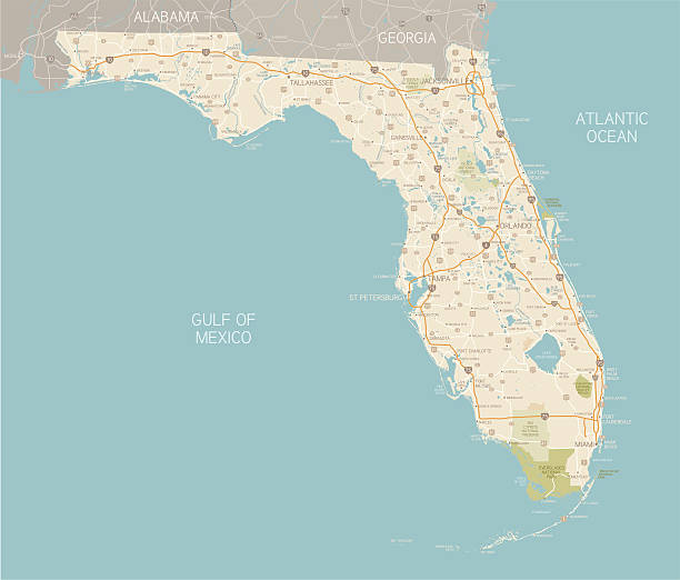
A detailed map of Florida state with cities, roads, major rivers, and lakes plus National Parks and National Forests. Includes neighboring states and surrounding water.

United States of America road and highway map. Organized vector illustration on seprated layers.
USA Road Map and line navigation icons with roads, water objects and cities.
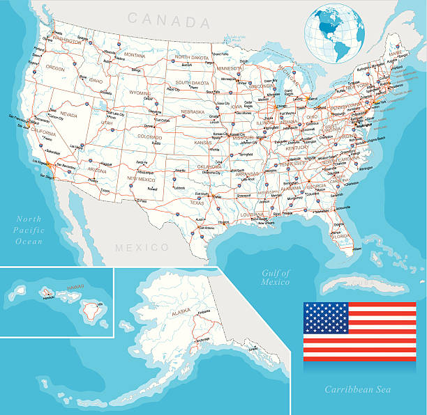
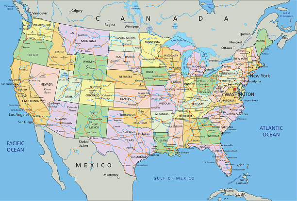
Highly detailed map of United States with roads, states, big cities, rivers and some other objects
North America Map with vintage colours, borders, sea and oceans
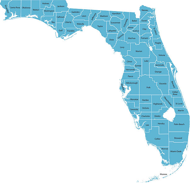
Detailed state-county map of Florida.
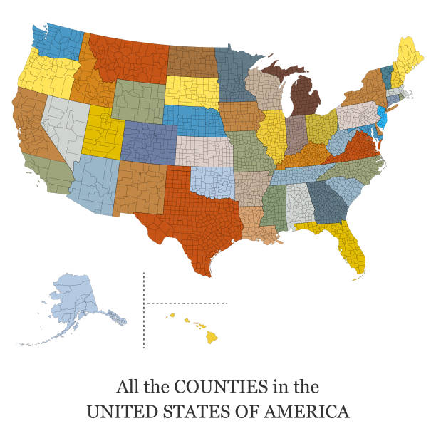
Vector illustration of a map of all the counties in the United States of America

Vector of Highly Detailed Map of Texas State of the United States of America - The url of the reference file is : https://www.cia.gov/library/publications/the-world-factbook/graphics/ref_maps/pdf/united_states.pdf

"Detailed vector map of Texas with administrative divisions. File was created on October 29, 2012. The colors in the .eps-file are ready for print (CMYK). Included files: EPS (v8) and Hi-Res JPG (5600aa aaa 5140 px)."
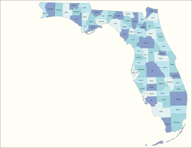
Highly detailed map of Florida , Each county is an individual object and can be colored separately.
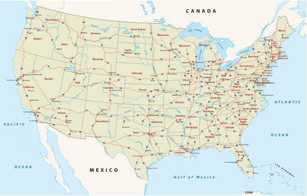
Road vector map of the united states of america
http://s017.radikal.ru/i404/1110/87/2c00b7bbd3ec.jpgHighly detailed map of the North America with countries, cities and other labels.
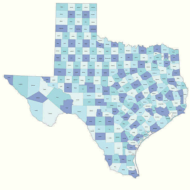
Detailed state-county map of Texas.
Poster map of United States of America with state names. Black and white print map of USA for t-shirt, poster or geographic themes. Hand-drawn black map with states. Vector Illustration
Doodle vector map of Texas state of USA. With legends of state and capital
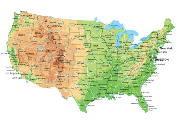
High detailed United States of America physical map with labeling. Organized vector illustration on seprated layers.
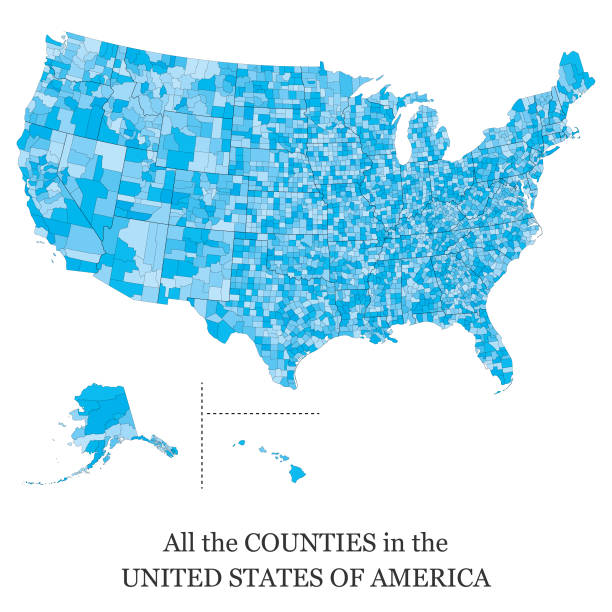
Vector illustration of a map of all the counties in the United States of America
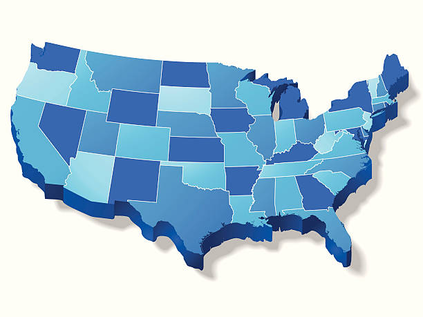
ZOOM IN...This is a great 3D map of the USA with border lines between each state (which can be easily removed). This file is layered and grouped for easy editing. This download contains an editable EPS file, as well as a large JPG file, and an ai v10 file (zip file). The map was traced manually using the pen tool for maximum detail.
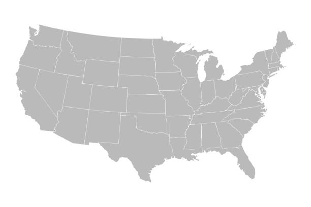
Blank similar USA map isolated on white background. United States of America country. Vector template for website, design, cover, infographics. Graph illustration.
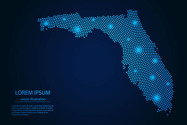
Abstract image Florida map from point blue and glowing stars on a dark background. vector illustration.