Illustrations
Maryland Map Vector stock illustrations
Browse 2,600+ maryland map vector stock illustrations and vector graphics available royalty-free, or search for washington dc map to find more great stock images and vector art.
Most popular


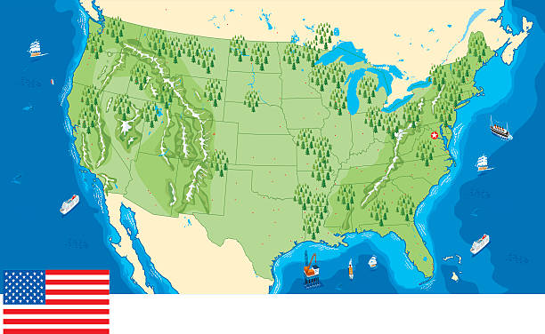
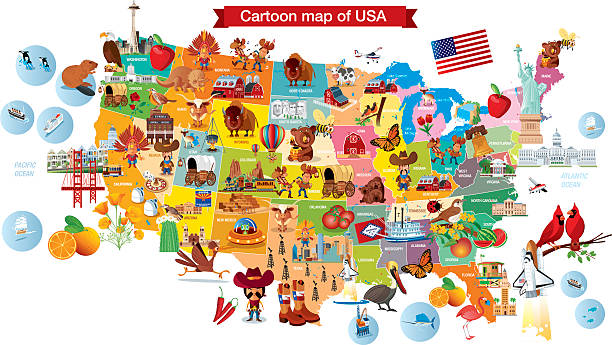
illustration of highly detailed U.S.A map with all state for your design , products and print.
Set of Maryland map, united states of america. Flat concept icon vector illustration .
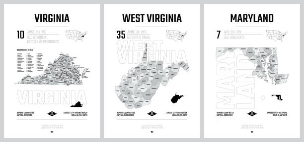
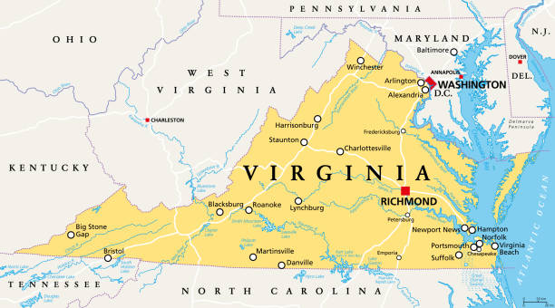
Virginia, VA, political map. Commonwealth of Virginia. State in Southeastern and Mid-Atlantic region of the United States. Capital Richmond. Old Dominion. Mother of Presidents. Illustration. Vector.
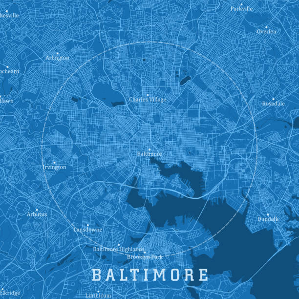
Baltimore MD City Vector Road Map Blue Text. All source data is in the public domain. U.S. Census Bureau Census Tiger. Used Layers: areawater, linearwater, roads.
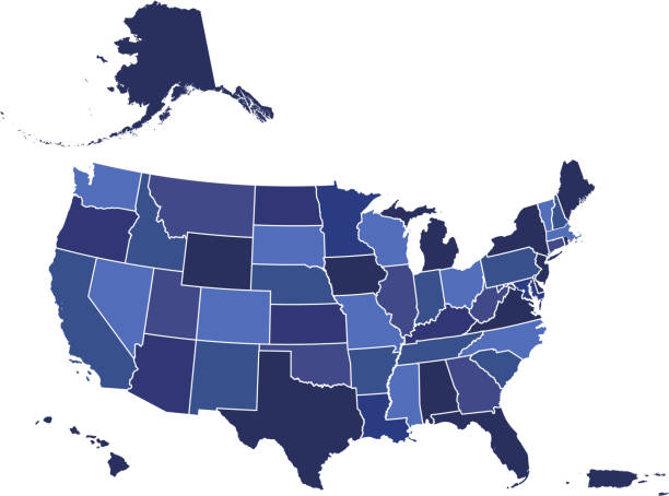
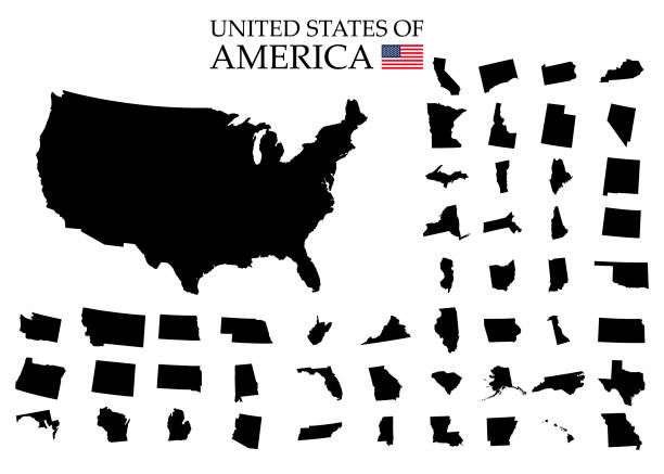
Downloadable blue color gradient map of United States of America. The spatial locations of Hawaii, Alaska and Puerto Rico approximately represent their actual locations on the earth.
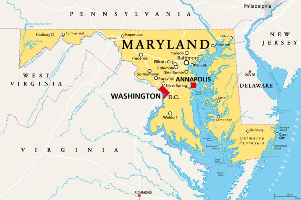
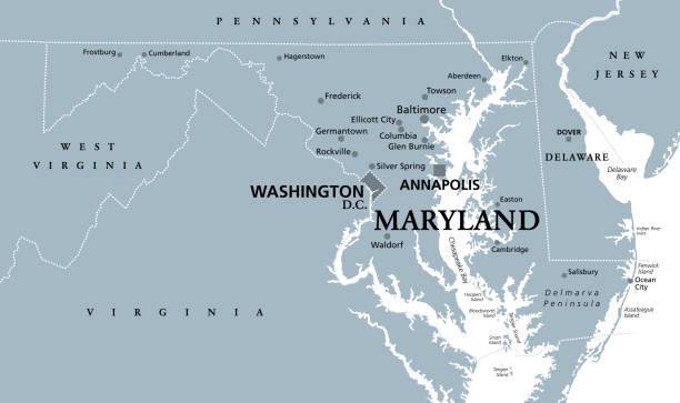
Maryland, MD, political map. State in the Mid-Atlantic region of the United States of America. Capital Annapolis. Old Line State. Free State. Little America. America in Miniature. Illustration. Vector

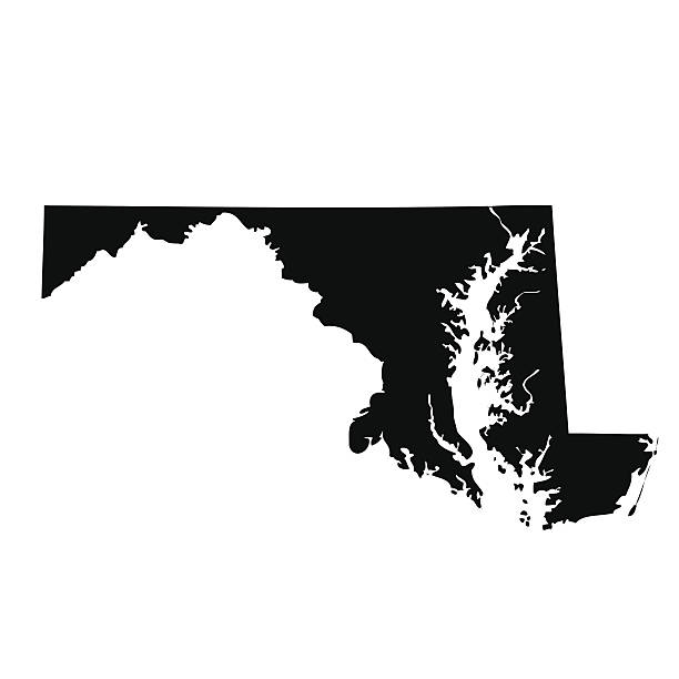
vector of the Maryland map

A detailed map of Maryland state with cities, roads, major rivers, and lakes. Includes neighboring states and surrounding water.

Vector Southeast US Coast States travel stickers.
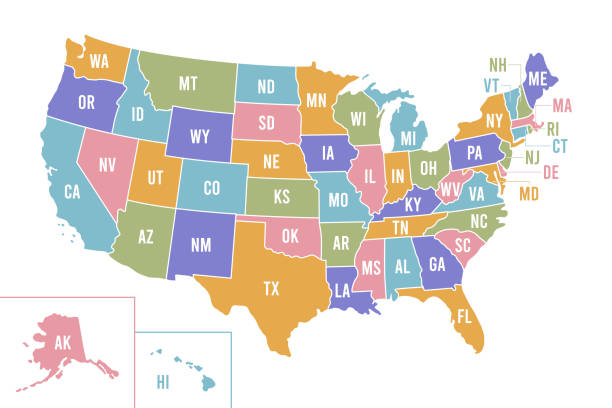
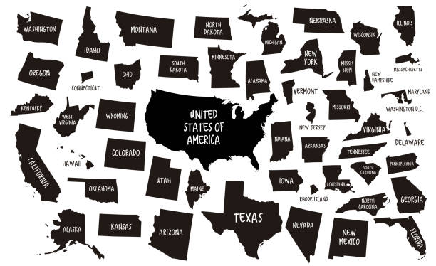
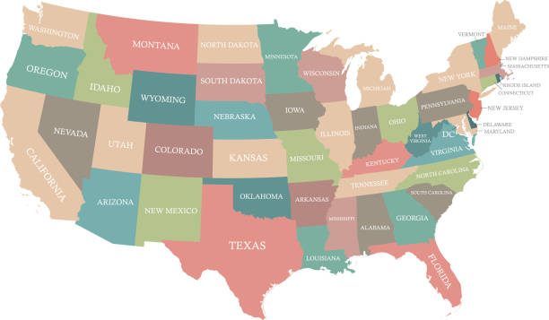
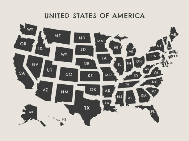
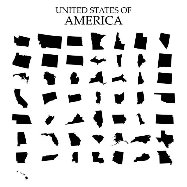
USA map with abbreviated state names. United States of America cartography with colored states. Vector illustration.
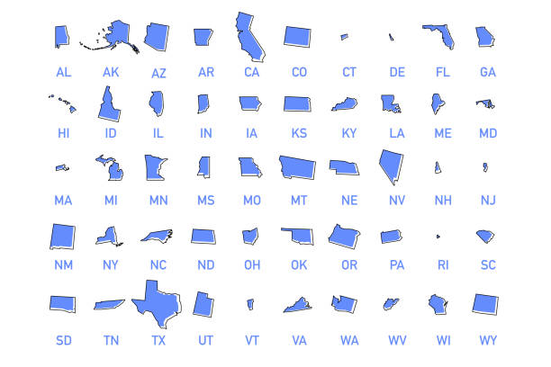
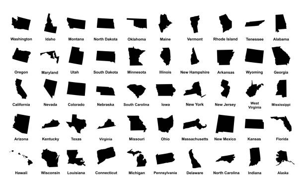
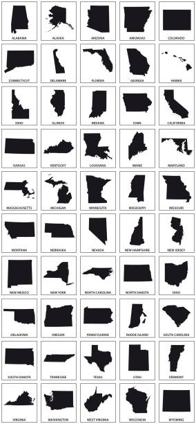
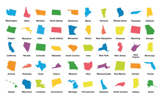
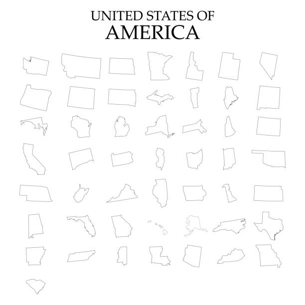
USA states vector illustration. All 50 states of America shapes coloured in lilac isolated on white background.

Detailed state-county map of Maryland. This file is part of a series of state/county maps. Each file is constructed using multiple layers including county borders, county names, and a highly detailed state silhouette. Each file is fully customizable with the ability to change the color of individual counties to suit your needs. Zip contains both .AI_CS2 and .ESP_8.0 as well as a large JPEG file. Map generated using data from the public domain. (http://www.census.gov/geo/www/tiger/) Traced using Adobe Illustrator CS2 on 7/28/2006. 3 data layers.

vector illustration of Maryland map and flag

USA map vector illustration art

A map of Chesapeake Bay and the surrounding area, including Washington D.C. and Baltimore. Elements are grouped and separate for easy changes and removal. Includes an extra-large JPG so you can crop in to the area you need.

A detailed map of downtown Baltimore, Maryland. Includes neighborhoods, highways, freeways, streets, docks, parks, and points of interest, all on separate layers. Includes an extra-large JPG so you can crop in to the area you need and a CS5 file.

Vector Illustration of a City Street Map of Baltimore, Maryland, USA. Scale 1:60,000. All source data is in the public domain. U.S. Geological Survey, US Topo Used Layers: USGS The National Map: National Hydrography Dataset (NHD) USGS The National Map: National Transportation Dataset (NTD)

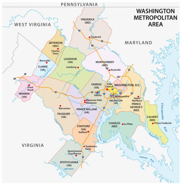
"Washington DC metro area map is shown in context to bordering states. File is layered with each state, inset, water, labels and borders on separate layers. File contains flat color and simple gradient blends."

vector of the USA map

Mid-Atlantic region of the United States, political map. Located in the overlap between Northeastern and Southeastern states, including Delaware, D.C., Maryland, New Jersey, New York and Pennsylvania.
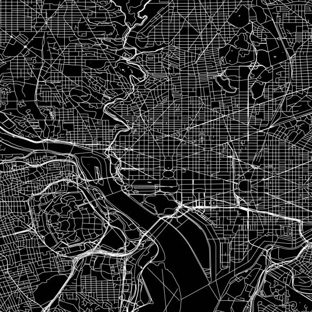
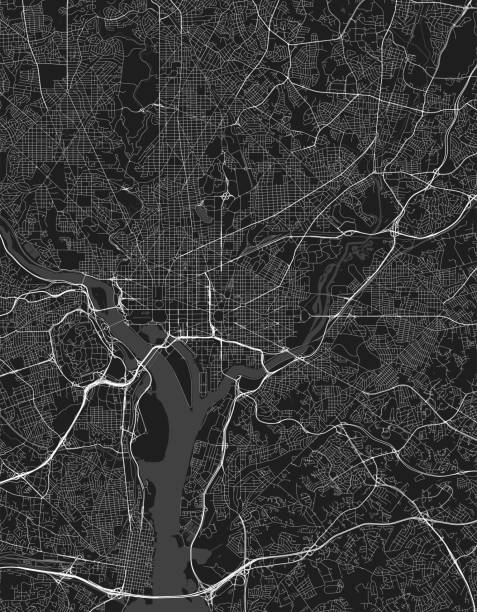
Geographical/Road map of DC. Original map data is public domain sourced from www.census.gov/
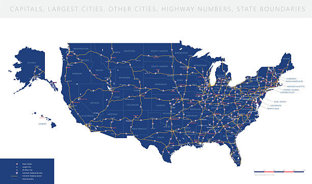
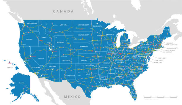
High detailed USA interstate road map vector


Virginia, VA, gray political map. Commonwealth of Virginia. State in Southeastern and Mid-Atlantic region of United States. Capital Richmond. Old Dominion. Mother of Presidents. Illustration. Vector.
Vector isolated illustration icon with simplified blue map's silhouette of State of Maryland (USA). Polygonal geometric style. White background.
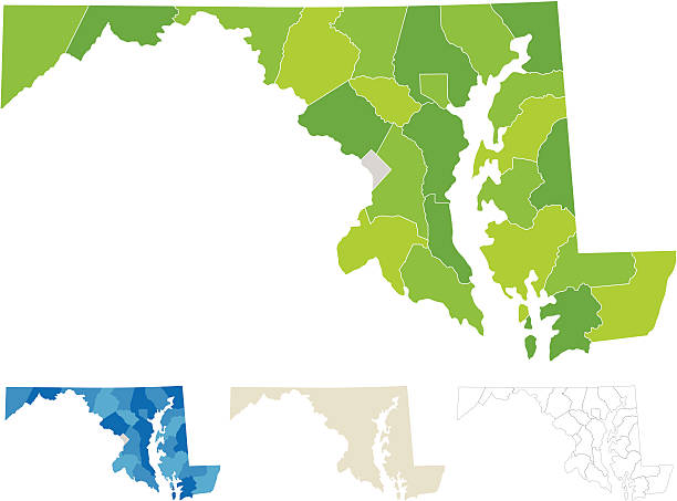
"Highly-detailed Maryland county map (including D.C). Each county shape is in a separate labeled layer. All layers have been alphabetized for easy manipulation, recoloring or other use. (see image below -- note: labels only available in AICS2 and AI10 files)"

Highly detailed vector map of Washington D.C. with the eight wards,metropolitan area and main roads.

Mississippi, Montana, Maryland, Missouri state names distorted into state outlines. Pop art style vector illustration for stickers, t-shirts, posters and social media.
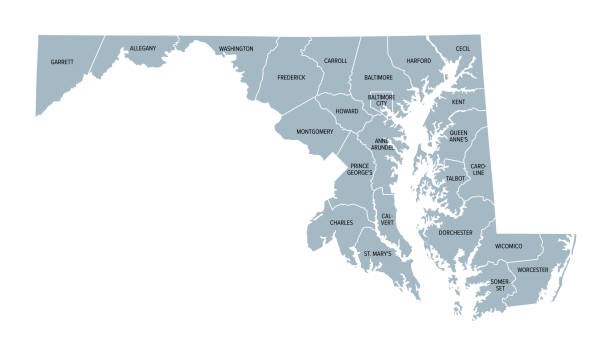
Maryland, U.S. state, gray political map with borders and county names. State in the Mid-Atlantic region of the USA, subdivided into 23 counties and the independent City of Baltimore. Old Line State
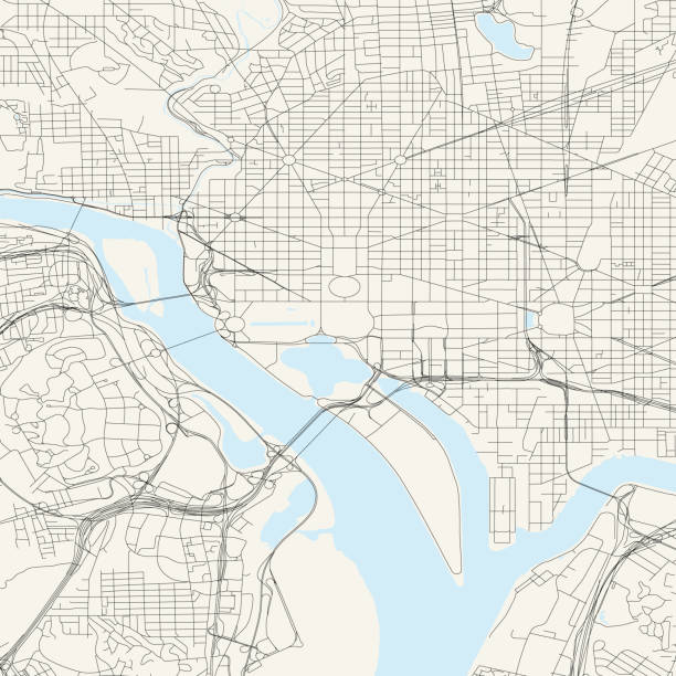
Topographic / Road map of DC. Original map data is public domain sourced from www.census.gov/

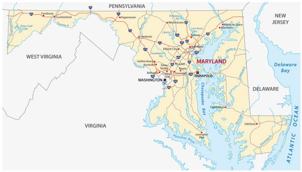
Road map of Maryland, US American federal state. Editable highly detailed transportation map of Maryland with highways and interstate roads, rivers and cities realistic vector illustration

Map of Maryland is a state USA with flag. Vector Illustration
Maryland, MD, gray political map. State in Mid-Atlantic region of United States of America. Capital Annapolis. Old Line State. Free State. Little America. America in Miniature. Illustration. Vector.

3d isometric map South Atlantic Region of United States, isolated with shadow
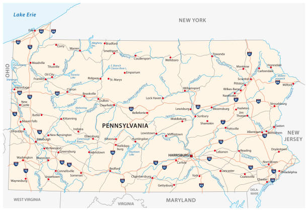
pennsylvania road vector map

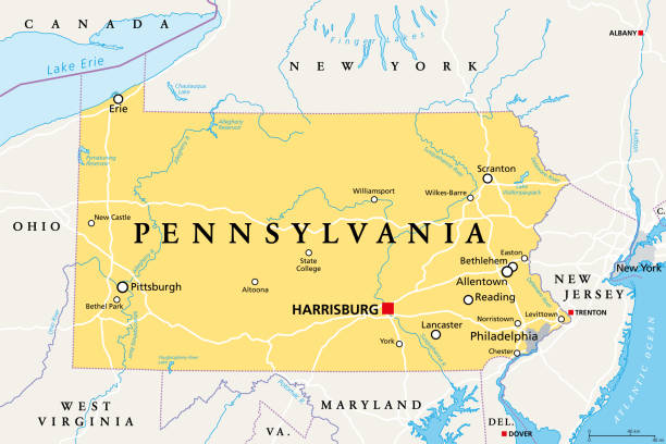
Pennsylvania, PA, political map. Officially the Commonwealth of Pennsylvania. State in the northeastern United States of America. Capital Harrisburg. Keystone State. Quaker State. Illustration. Vector

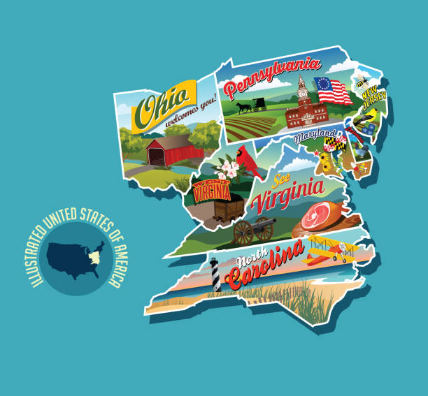
Illustrated pictorial map of eastern United States. Includes Pennsylvania, New Jersey, West Virginia, Virginia, North Carolina, Delaware and Maryland. Vector Illustration.
Next